The best walks and hikes around Motreff
4.5
(50)
194
hikers
33
hikes
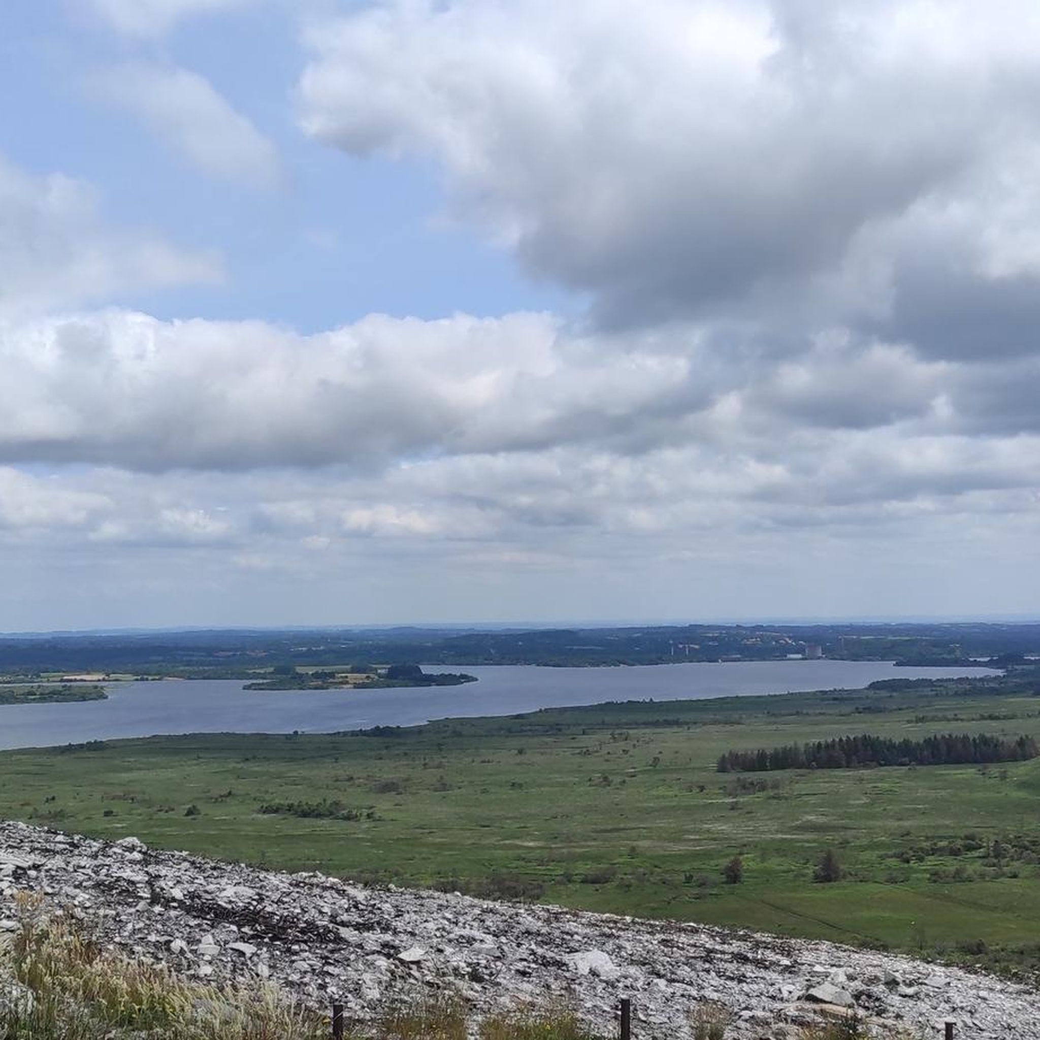
Hiking trails around Motreff traverse diverse environments, including forests, wetlands, and peat bogs. The region features the Black Mountains, offering a rugged and elevated landscape. The Nantes to Brest Canal provides scenic and relatively flat routes, while stream valleys contribute to varied scenery. Natural sites like the Lan Bern and Magoar-Pen Vern moors offer unique ecosystems.
Best hiking trails in Motreff
- The most popular hiking route is Hiking loop from Route de Pont de Kergoat, a 5.3 miles (8.6…
Last updated: July 10, 2026
3.5
(2)
15
hikers
8.56km
02:11
30m
30m
Moderate hike. Good fitness required. Easily-accessible paths. Suitable for all skill levels.
4.7
(6)
10
hikers
11.6km
03:02
90m
90m
Moderate hike. Good fitness required. Easily-accessible paths. Suitable for all skill levels.

Sign up for free
10
hikers
Moderate hike. Good fitness required. Easily-accessible paths. Suitable for all skill levels.
4.5
(2)
5
hikers
12.4km
03:27
230m
230m
Moderate hike. Good fitness required. Easily-accessible paths. Suitable for all skill levels.
6
hikers
3.95km
01:01
10m
10m
Easy hike. Great for any fitness level. Easily-accessible paths. Suitable for all skill levels.
Get access to more routes and recommendations from other explorers.
Sign up for free
Already have an account?
Our route recommendations are based on thousands of hikes, rides, and runs completed by other people on komoot.
Start today with a free account
Your next adventure awaits.
Login or Signup



Tips from the Community

very pleasant
0
0

Carhaix-Plouguer (/kaʁɛ pluɡɛʁ/Note 1), commonly called Carhaix, is known to be one of the most flourishing cities of Gallo-Roman Armorica during Antiquity, then bearing the name Vorgium (Latin name of the capital of the Gallic and then Gallo-Roman people of the Osismes). It is today known for hosting, since 1992, the Vieilles Charrues festival, one of the main music festivals in Europe.
0
0
On this square in La Tour-d’Auvergne in Carhaix, the convent of the Hospitallers once stood. The Notre-Dame des Grâces chapel, located near the Post Office, is the last vestige. Victim in 1875 of a fire which almost destroyed it, the hospital was definitively abandoned in 1920 and its ruins were completely leveled. Probably used as a fairground since the Middle Ages, this ancient square adjoined the moat of the Carhaix castle. It was in 1841 that the bronze statue executed by the sculptor Charles Marochetti of Théophile Malo Corret de La-Tour-d'Auvergne was erected. This place was also called Martroy or Martret, a term which means market in old French. It therefore logically had to fulfill this function. Logical, given its location in the city.
0
0

Historic ensemble centered on the old city chateau, next to the monastery of the hospitalière order
0
0

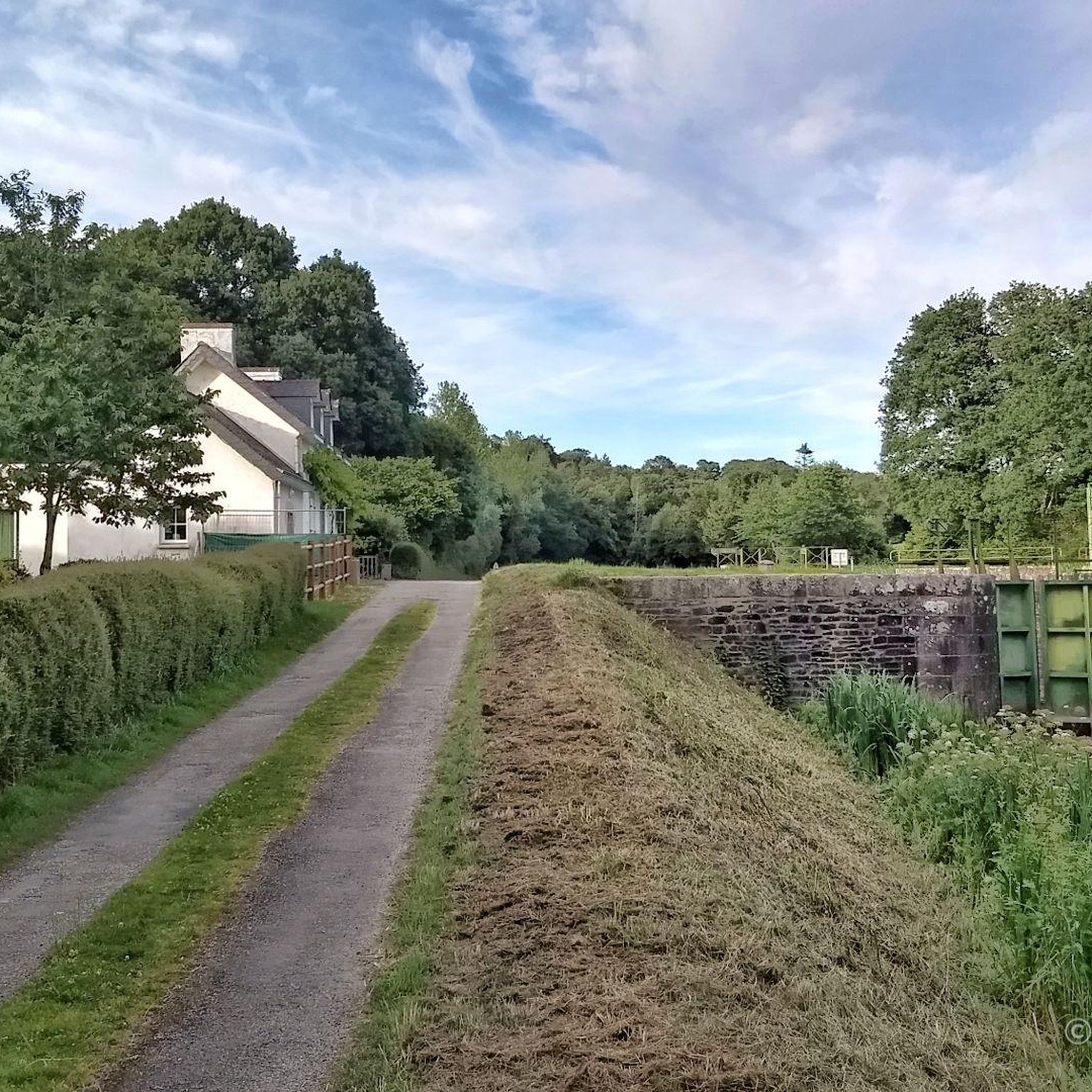
Small bridge whose arc forms a semicircle, and whose reflection perfectly completes the circle. A beautiful shot to take along the Vélodyssée greenway.
0
0
Excellent bike trail on a former railroad track
0
0
Frequently Asked Questions
How many hiking trails are available in Motreff?
Motreff offers a good selection of routes for hikers, with nearly 30 trails available. These routes cater to various preferences, from leisurely walks to more challenging treks through diverse landscapes.
What are the different difficulty levels of hikes around Motreff?
The hiking trails in Motreff range from easy to difficult. You'll find 11 easy routes, 17 moderate routes, and 1 difficult trail. This variety ensures options for all skill levels, from beginners to experienced hikers.
Are there any circular hiking routes in Motreff?
Yes, many of the trails around Motreff are circular, allowing you to start and end at the same point. For example, the Hiking loop from Route de Pont de Kergoat is a popular moderate circular route covering 8.6 km. Another option is the Calotte Saint-Joseph loop from La Trinité-Langonnet, which is also a moderate circular hike.
Are the hiking trails in Motreff suitable for families?
Yes, Motreff has several trails suitable for families, particularly the 11 easy routes available. These often feature relatively flat terrain, such as paths along the Nantes to Brest Canal, making them enjoyable for all ages. The varied landscapes also offer plenty to explore for curious young hikers.
Can I bring my dog on the hiking trails in Motreff?
Generally, dogs are welcome on many outdoor trails in Brittany, including those around Motreff. However, it's always best to keep your dog on a leash, especially in nature reserves, agricultural areas, or near livestock, and to clean up after them. Look for local signage for specific rules on individual trails.
Where can I find parking for hiking trails in Motreff?
Many trailheads around Motreff, especially those starting from villages or popular access points, offer designated parking areas. For specific routes, such as the Hiking loop from Route de Pont de Kergoat or the Hiking loop from Carhaix-Plouguer, you can often find parking near the starting points indicated on komoot maps.
What natural features or landmarks can I expect to see while hiking in Motreff?
Motreff's hiking trails offer a rich tapestry of natural features. You can expect to traverse diverse environments including forests, wetlands, and peat bogs. The region is also known for the Black Mountains, offering rugged landscapes, and the scenic Nantes to Brest Canal with its locks. Natural sites like the Lan Bern and Magoar-Pen Vern moors provide unique ecosystems to explore.
What do other hikers say about the trails in Motreff?
The hiking trails in Motreff are highly regarded by the komoot community, with an average rating of 4.4 out of 5 stars from over 40 reviews. Hikers often praise the diverse landscapes, which include forests, moors, and canal paths, as well as the well-maintained network of trails suitable for various ability levels.
What is the best time of year to go hiking in Motreff?
The best time to hike in Motreff is generally during spring, summer, and early autumn (April to October) when the weather is milder and the natural landscapes are at their most vibrant. Spring brings blooming flora, while summer offers longer daylight hours. Autumn provides beautiful foliage, though some trails might be wetter. Always check local weather conditions before heading out.
Are there any easy hikes for beginners in Motreff?
Yes, Motreff has 11 easy routes perfect for beginners or those looking for a relaxed walk. An excellent option is the Hiking loop from Le Moustoir, which is 6 km long and takes around 1 hour 35 minutes to complete, offering gentle terrain and pleasant scenery.
Are there any historical sites or cultural points of interest along the trails?
Yes, the area around Motreff is rich in history. You can encounter several interesting points of interest. For instance, the Nantes to Brest Canal features historical locks like the Kerhun Lock No. 191 and the Stone Arch Bridge. The town of Carhaix-Plouguer, a nearby highlight, also offers historical significance. Some local trails, like the 'Les Ardoisières' circuit, even pass by old bread ovens and mills, integrating cultural heritage into your hike.
What is the typical length and duration of hikes in Motreff?
Hikes in Motreff vary in length and duration. You can find shorter, easy walks like the 6 km Hiking loop from Le Moustoir, which takes about 1 hour 35 minutes. Moderate routes, such as the Minez Gliguéric loop from Plévin, can be around 12.4 km and take approximately 3 hours 26 minutes to complete. The longest routes can extend further, offering full-day adventures.
Most popular attractions around Motreff

Get inspired with the komoot mobile app


Explore more
Browse the best Hikes in other regions.
