The best walks and hikes around Avignonet
4.5
(2481)
21,035
hikers
293
hikes
Hiking around Avignonet offers diverse landscapes, primarily characterized by the mountainous terrain of the Isère department. The region features the expansive Lac de Monteynard-Avignonet and the Drac river, providing water-centric outdoor experiences. Large forests cover the eastern parts of the commune, offering shaded trails and varied ecosystems. Trails range from easy accessible paths to more challenging hikes with significant elevation gain.
Best hiking trails around Avignonet
- The most popular hiking route is Épicerie-Café chez Jeanne – Côté Rouge orientation table…
Last updated: October 4, 2026
4.6
(5)
34
hikers
4.59km
01:33
200m
200m
Moderate hike. Great for any fitness level. Mostly accessible paths. Sure-footedness required.
4.3
(3)
17
hikers
Moderate hike. Good fitness required. Easily-accessible paths. Suitable for all skill levels.

4.0
(4)
23
hikers
13.0km
04:13
590m
590m
Moderate hike. Good fitness required. Easily-accessible paths. Suitable for all skill levels.
4.7
(6)
32
hikers
7.68km
02:21
270m
270m
Moderate hike. Good fitness required. Easily-accessible paths. Suitable for all skill levels.
4.3
(3)
17
hikers
1.94km
00:44
130m
130m
Easy hike. Great for any fitness level. Easily-accessible paths. Suitable for all skill levels.
Get access to more routes and recommendations from other explorers.
Already have an account?
Our route recommendations are based on thousands of hikes, rides, and runs completed by other people on komoot.
Start today with a free account
Your next adventure awaits.


Tips from the Community

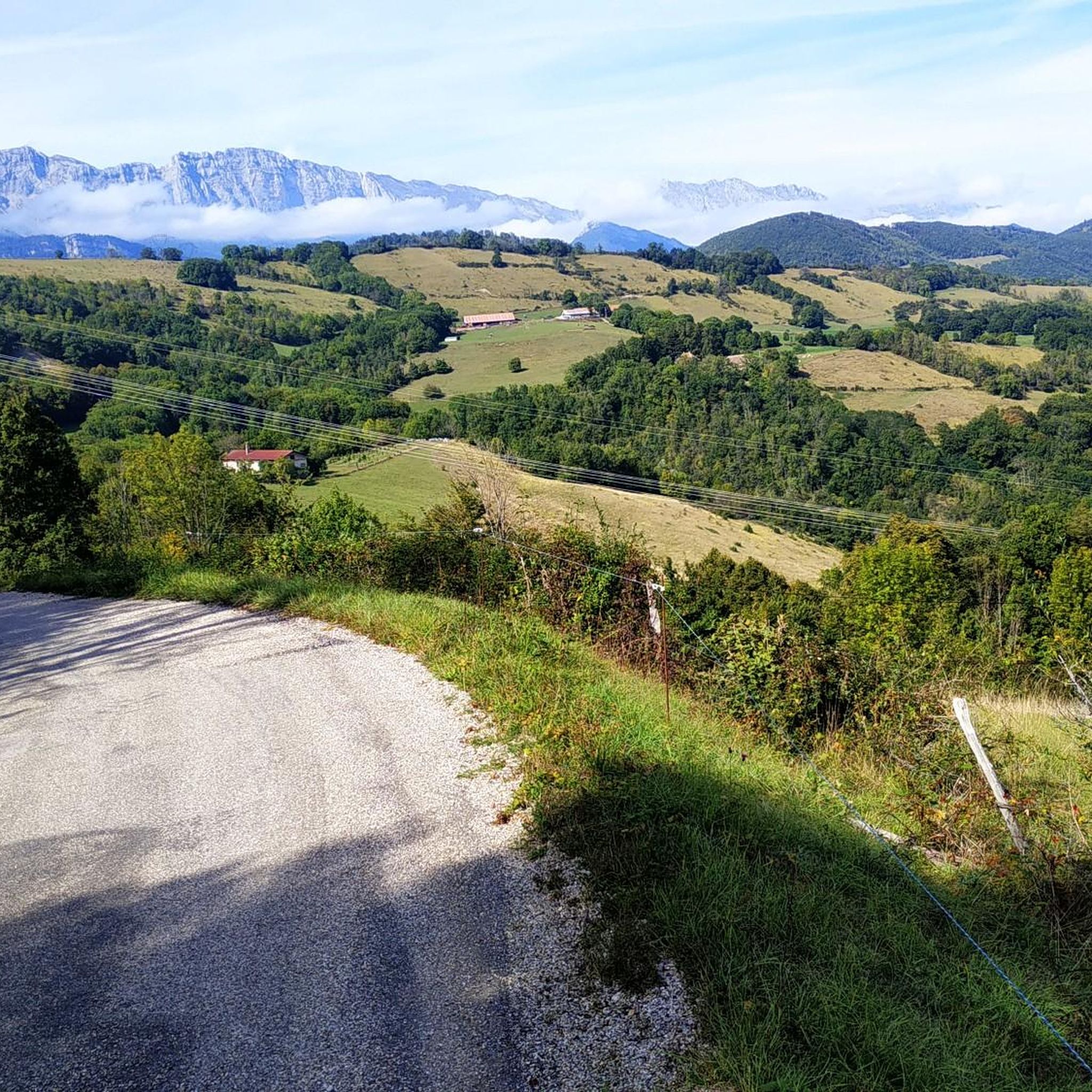
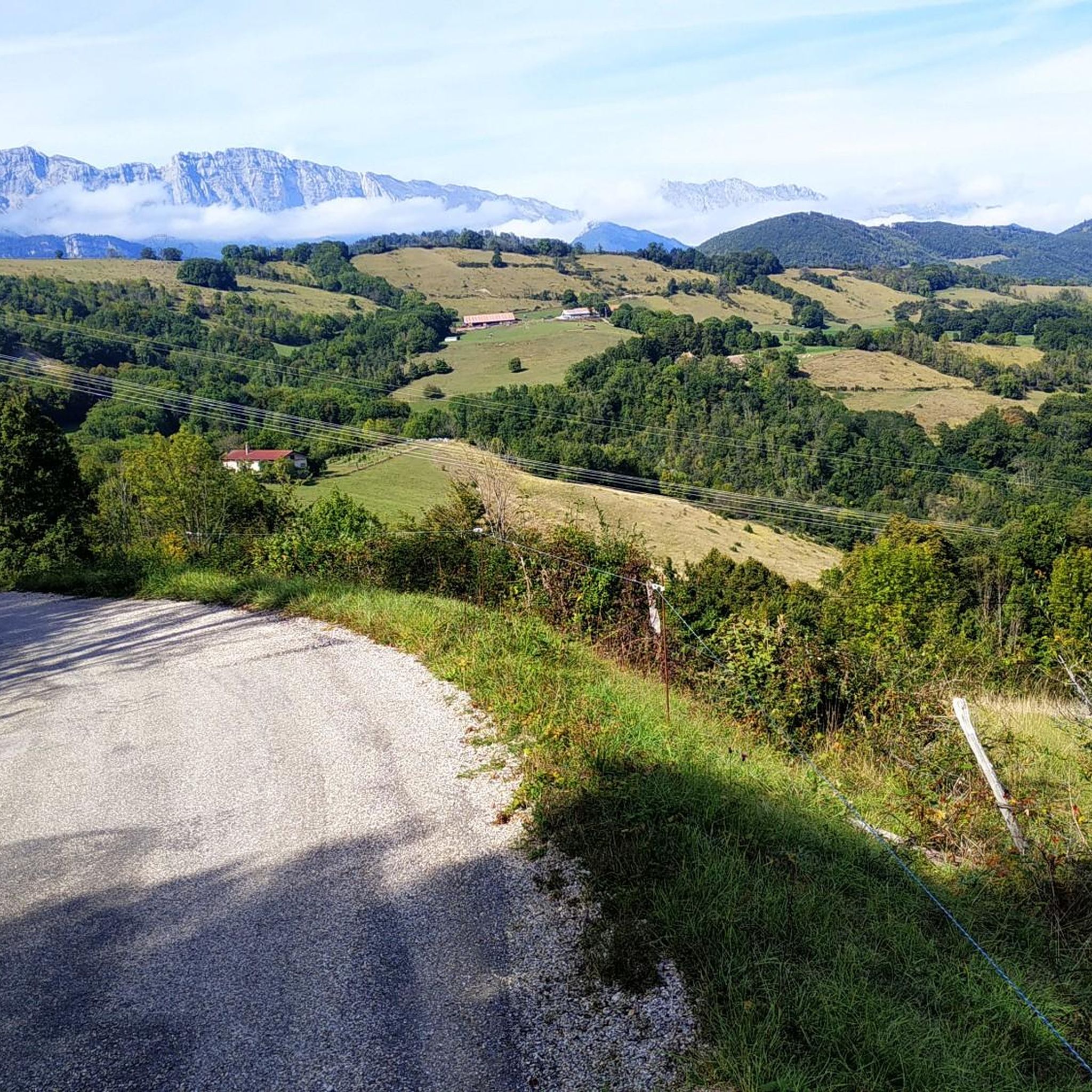
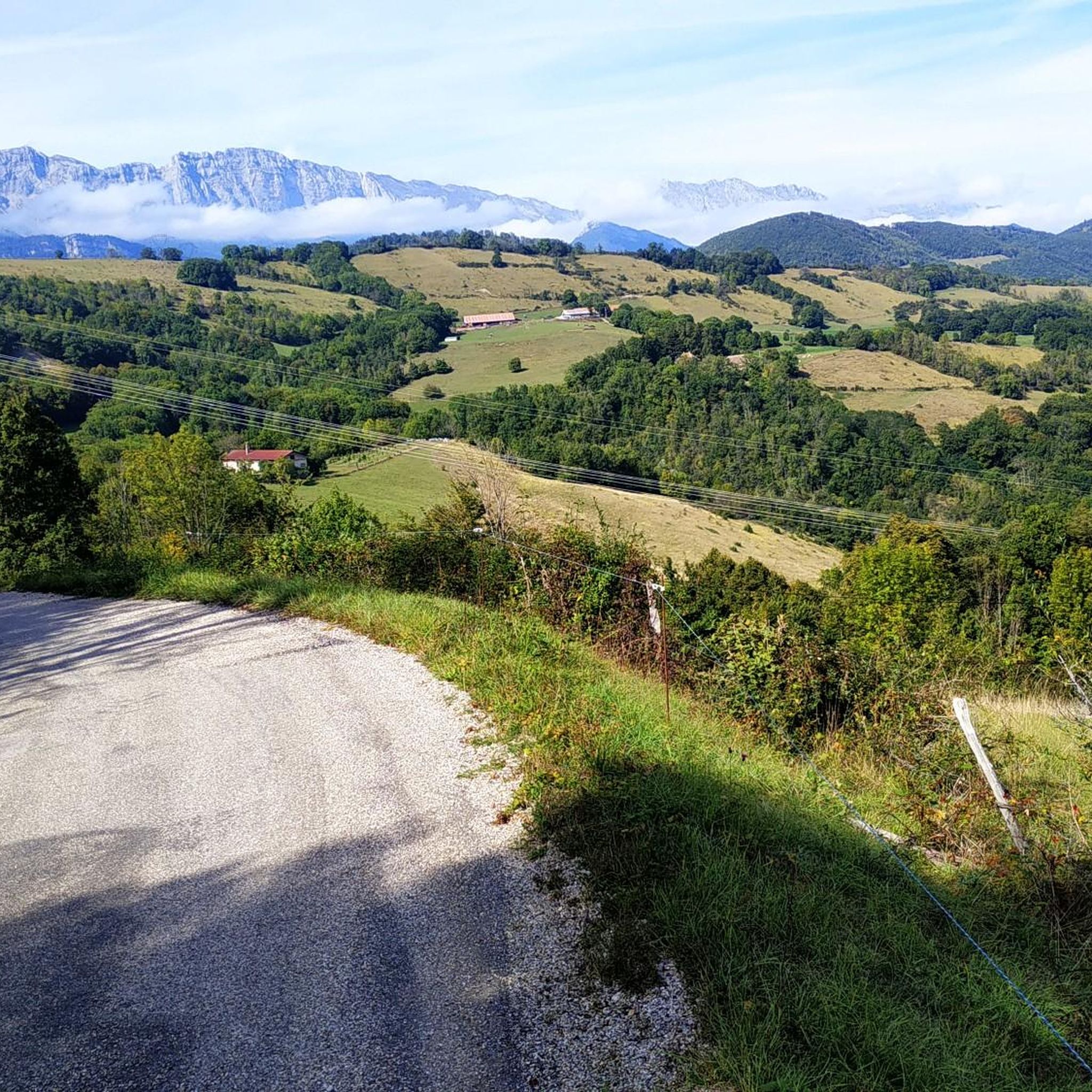
In the village of Monteynard, go towards the orientation table 300m from the center on the left. Exceptional view
0
0

Les Balcons du Drac are certainly very spectacular!
0
0

This is not in my opinion the best point of view. The best is located nearby, on a small road in the town of Monteynard, parallel to the main road but overlooking the main road. You are higher and have a better view in my opinion.
0
0

superb 360 view. the climb a bit hard (single with pins full of roots...) is worth it
0
0

Magnificent belvedere on the Vercors and the Trieves. Too much traffic unfortunately.
1
0

Views of Lac du Monteynard and its Azul colored waters below. If you want to go down to the water's edge, you'll have to go around the other side.
0
0

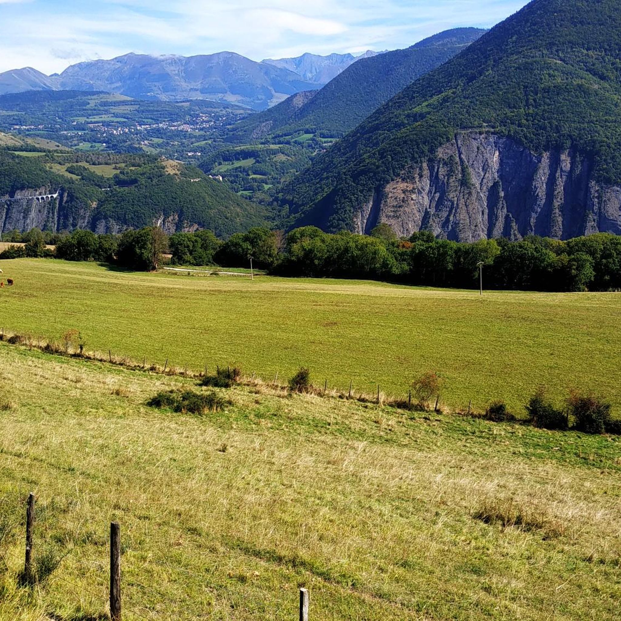
The view takes in all of Trièves with Mont-Aiguille as a witness
1
0

Such a nice place to stay
0
0
Frequently Asked Questions
How many hiking trails are available in Avignonet?
There are over 280 hiking routes in Avignonet, offering a wide range of options for all skill levels. These trails are highly rated by the komoot community, with an average score of 4.5 stars.
Are there easy hiking trails suitable for beginners or families in Avignonet?
Yes, Avignonet offers 62 easy hiking trails perfect for beginners or families. An excellent option is the Lac du Sautet Lakeside loop from Avignonet, a gentle 1.2-mile (1.9 km) path that takes about 44 minutes to complete, providing pleasant lakeside views.
Can I find circular hiking routes around Avignonet?
Many of the trails in Avignonet are circular, allowing you to start and end at the same point. For example, the Hiking loop from Avignonet is a moderate 8.1-mile (13.1 km) route that offers varied terrain and takes approximately 4 hours 13 minutes.
What kind of landscapes can I expect to see on hikes in Avignonet?
Hiking in Avignonet, located in the Isère department, primarily features mountainous terrain. You'll encounter the expansive Lac de Monteynard-Avignonet, the Drac river, and large forests, especially in the eastern parts of the commune. Trails offer diverse ecosystems, from shaded woodlands to scenic lake-centric paths and river views.
Are there any notable natural attractions or landmarks to see while hiking in Avignonet?
Yes, the region around Avignonet is rich in natural beauty. Hikers can explore natural monuments like La Pierre Percée or enjoy the serene La Moucherolle Lake. For those seeking panoramic views, several mountain peaks such as La Peyrouse and the Astonishing view of Mont Aiguille are accessible.
Are the hiking trails in Avignonet dog-friendly?
Many trails in Avignonet are suitable for dogs, especially those in forested areas or along the lake. However, it's always recommended to check specific trail regulations and keep dogs on a leash, particularly in protected areas or near livestock. Always carry water for your dog and be mindful of other hikers.
What is the best time of year to go hiking in Avignonet?
The best time for hiking in Avignonet is generally from spring to autumn (April to October) when the weather is mild and trails are clear. Summer offers warm conditions perfect for lake activities, while spring and autumn provide vibrant foliage and cooler temperatures. Winter hiking is possible but may require appropriate gear for snow and ice, especially at higher elevations.
Are there options for longer, more challenging hikes in Avignonet?
Absolutely. Avignonet offers 39 difficult trails for experienced hikers seeking a challenge, alongside 179 moderate routes. A good example of a moderate route with significant elevation is the Épicerie-Café chez Jeanne – Côté Rouge orientation table loop from Saint-Martin-de-la-Cluze, which is 8.2 miles (13.2 km) long with nearly 500 meters of elevation gain.
What do other hikers say about the trails in Avignonet?
The trails in Avignonet are highly regarded by the komoot community, boasting an average rating of 4.5 stars from over 1,800 reviews. Hikers frequently praise the diverse landscapes, from the serene Lac de Monteynard-Avignonet to the challenging mountain paths, and appreciate the well-maintained routes that cater to various fitness levels.
Are there any hikes that offer opportunities for wild swimming in Avignonet?
Given Avignonet's proximity to the expansive Lac de Monteynard-Avignonet, there are indeed opportunities for wild swimming. Many trails lead to the lake's shores, where you can find secluded spots for a refreshing dip. Always ensure you are swimming in safe, designated areas and be aware of local regulations.
Are there any specific trails that offer great views of Lac de Monteynard-Avignonet?
Many trails in the region provide stunning views of Lac de Monteynard-Avignonet. The View of the Drac River loop from Monteynard offers picturesque vistas of the lake and the Drac river, while the The dam loop from Sinard explores the area around the dam, providing varied terrain and scenic viewpoints over the water.
Is public transport available to reach hiking trailheads in Avignonet?
While public transport options directly to all trailheads might be limited in this mountainous region, local bus services may connect Avignonet to nearby towns. For specific routes, it's advisable to check regional transport schedules in advance, as many hikers typically rely on personal vehicles to access more remote starting points.
Where can I find parking for hiking trails in Avignonet?
Parking is generally available at or near popular trailheads and villages throughout the Avignonet area. Many routes, especially those starting from communes like Saint-Martin-de-la-Cluze or Sinard, will have designated parking areas. It's recommended to check the starting point details of your chosen komoot tour for specific parking information.
Most popular routes around Avignonet
Most popular attractions around Avignonet

Get inspired with the komoot mobile app


Explore more
Browse the best Hikes in other regions.
