The best mountain hikes around Avignonet
4.8
(7)
26
hikers
5
hikes
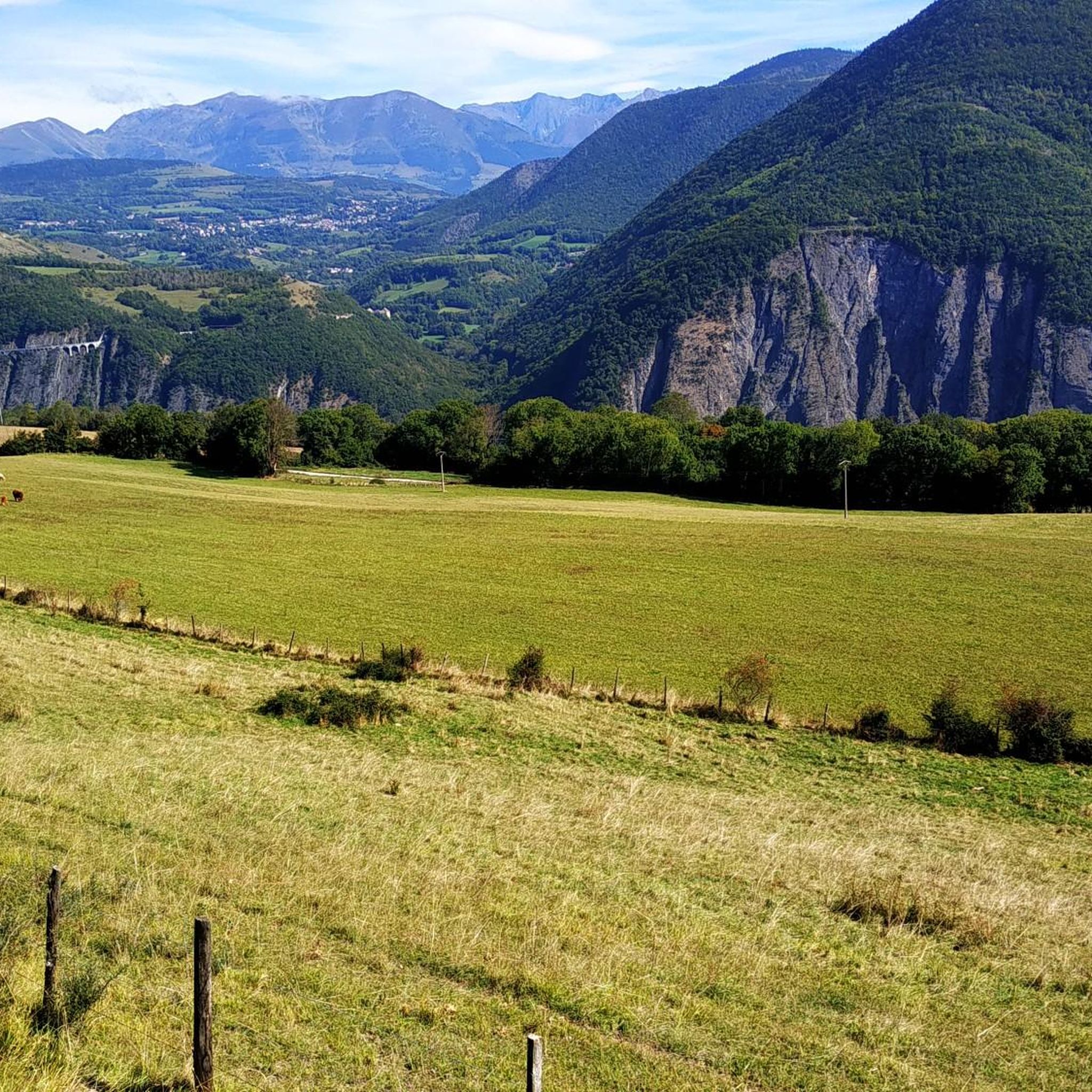
Mountaineering routes around Avignonet traverse a landscape characterized by significant elevation changes, river valleys, and prominent footbridges. The region offers a mix of challenging ascents and more accessible paths, often featuring views of the surrounding mountainous terrain. Footbridges over rivers like the Drac and Ebron are notable features, connecting different sections of the routes. The area's geology supports varied trails suitable for different mountaineering abilities.
Best mountaineering routes around Avignonet
- The most popular mountaineering route is Drac Footbridge – Ebron…
Last updated: October 11, 2026
5.0
(2)
8
hikers
15.6km
05:23
760m
760m
Hard mountaineering route. Very good fitness required. Mostly accessible paths. Sure-footedness required.
5.0
(2)
5
hikers
15.9km
08:03
1,270m
1,270m
Hard mountaineering route. Very good fitness required. Sure-footedness, sturdy shoes and alpine experience required.

5.0
(1)
7
hikers
12.5km
04:01
460m
460m
Moderate mountaineering route. Good fitness required. Mostly accessible paths. Sure-footedness required.
4.0
(2)
4
hikers
Easy mountaineering route. Great for any fitness level. Easily-accessible paths. Suitable for all skill levels.
2
hikers
8.69km
03:10
380m
380m
Moderate mountaineering route. Good fitness required. Mostly accessible paths. Sure-footedness required.
Our route recommendations are based on thousands of hikes, rides, and runs completed by other people on komoot.
Start today with a free account
Your next adventure awaits.
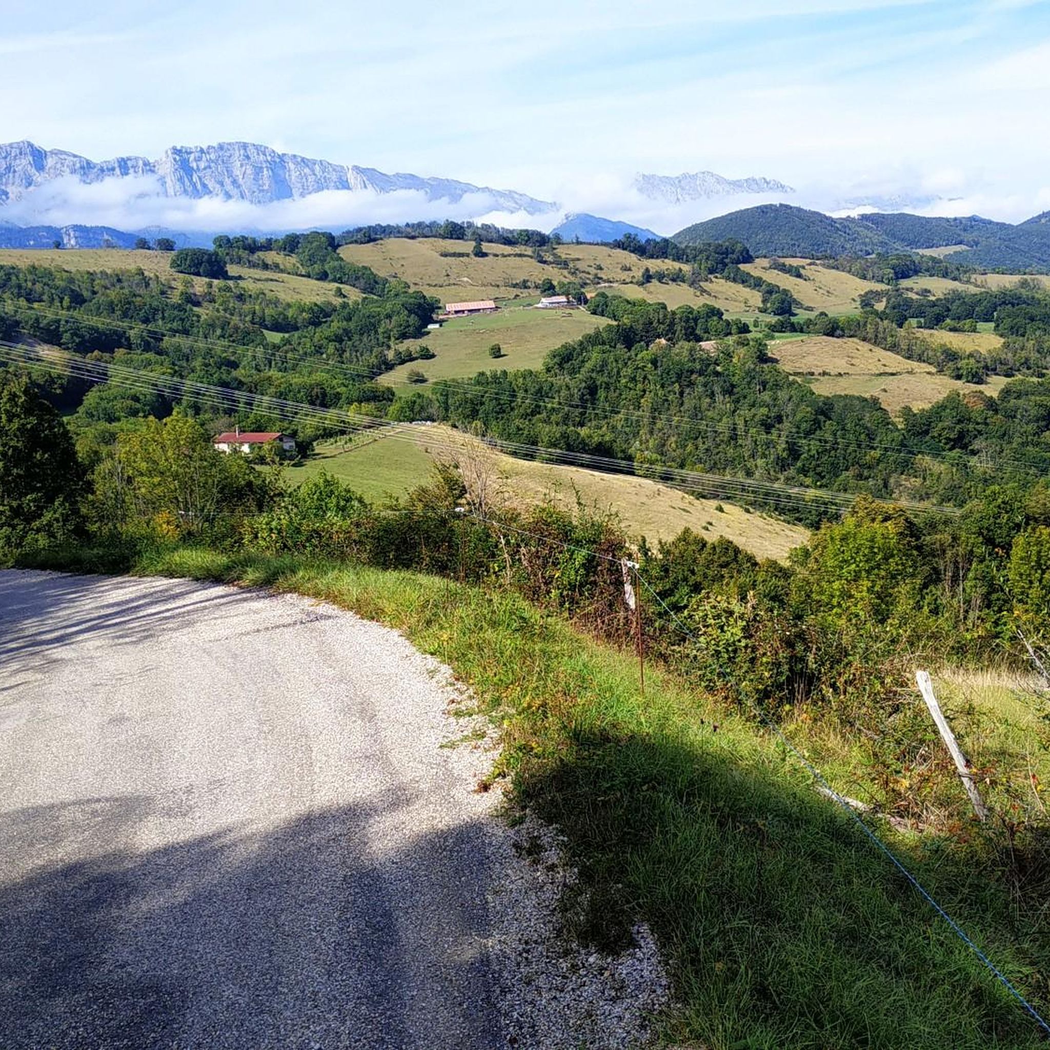
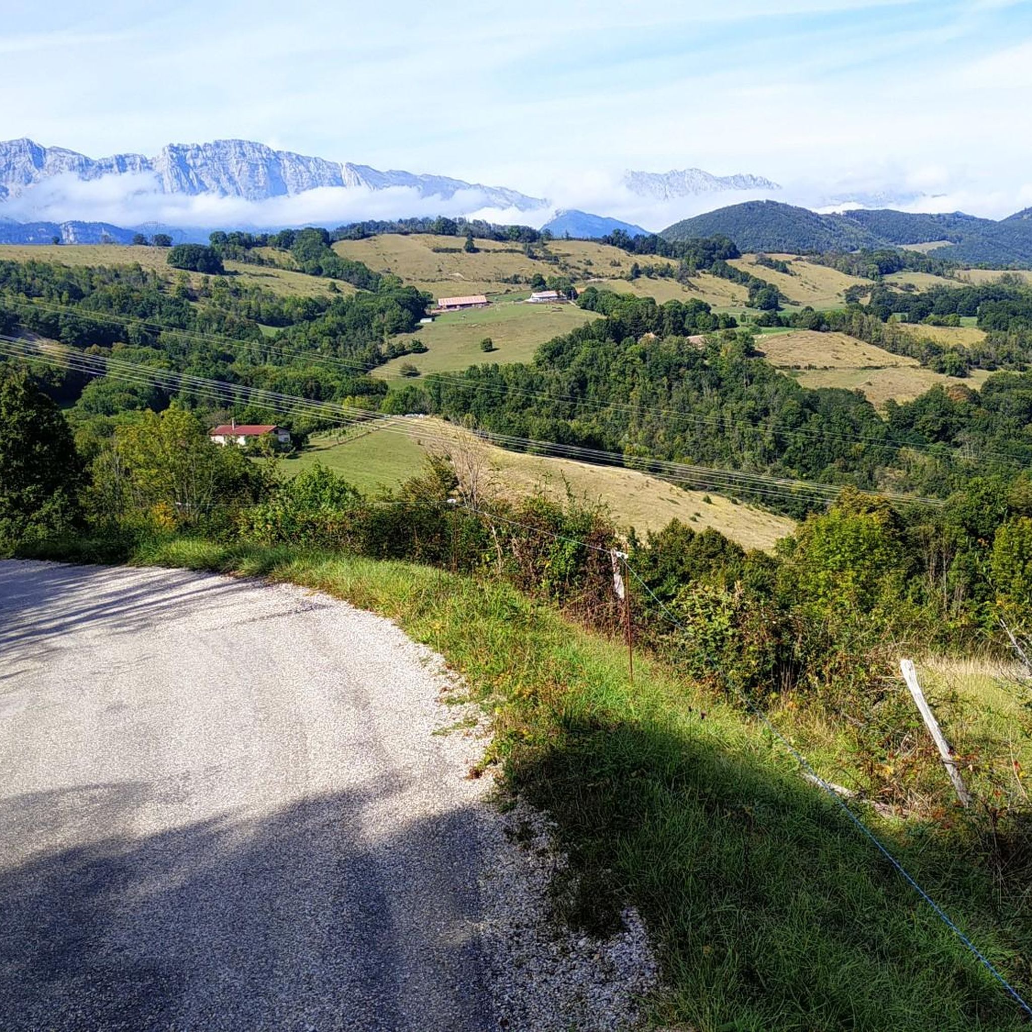
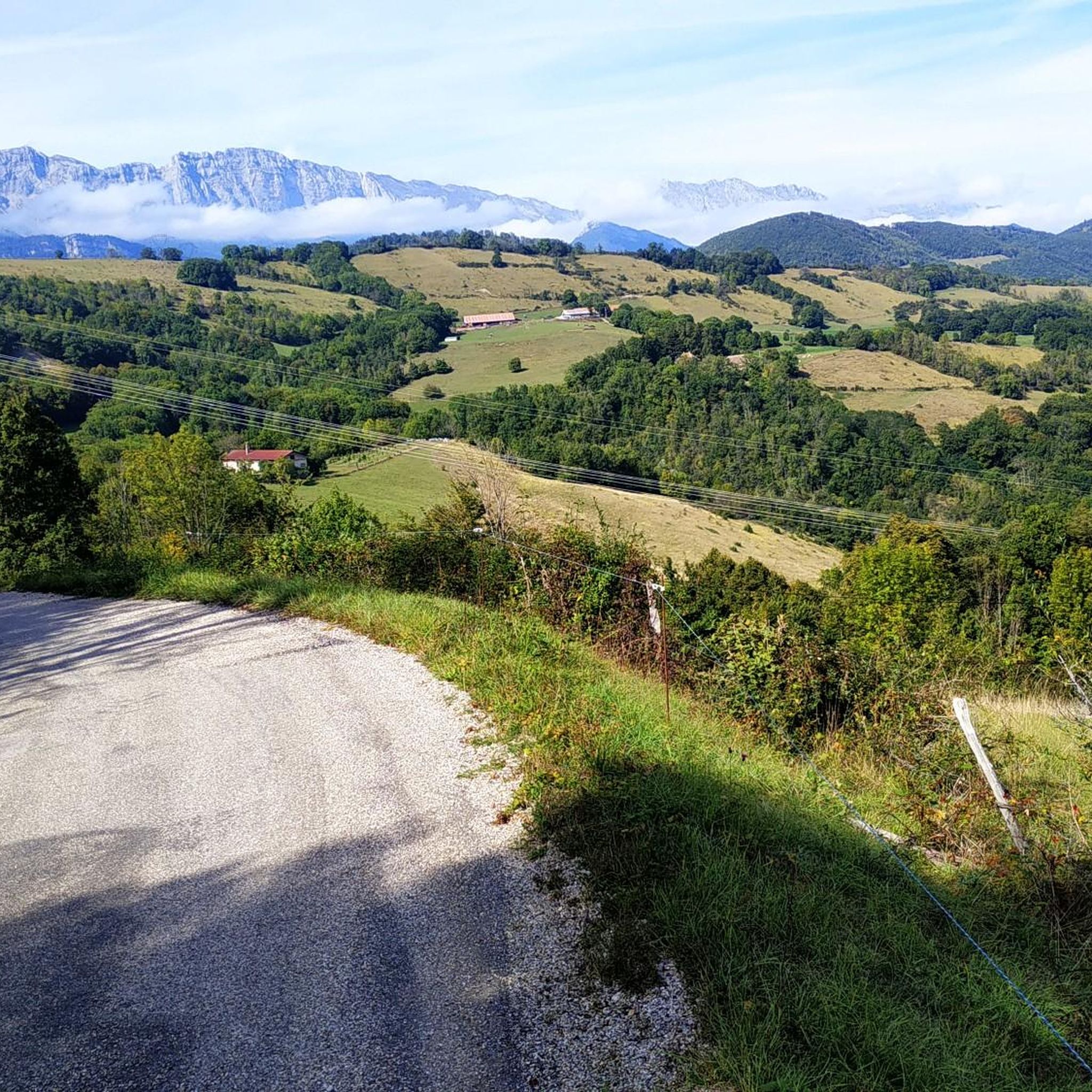
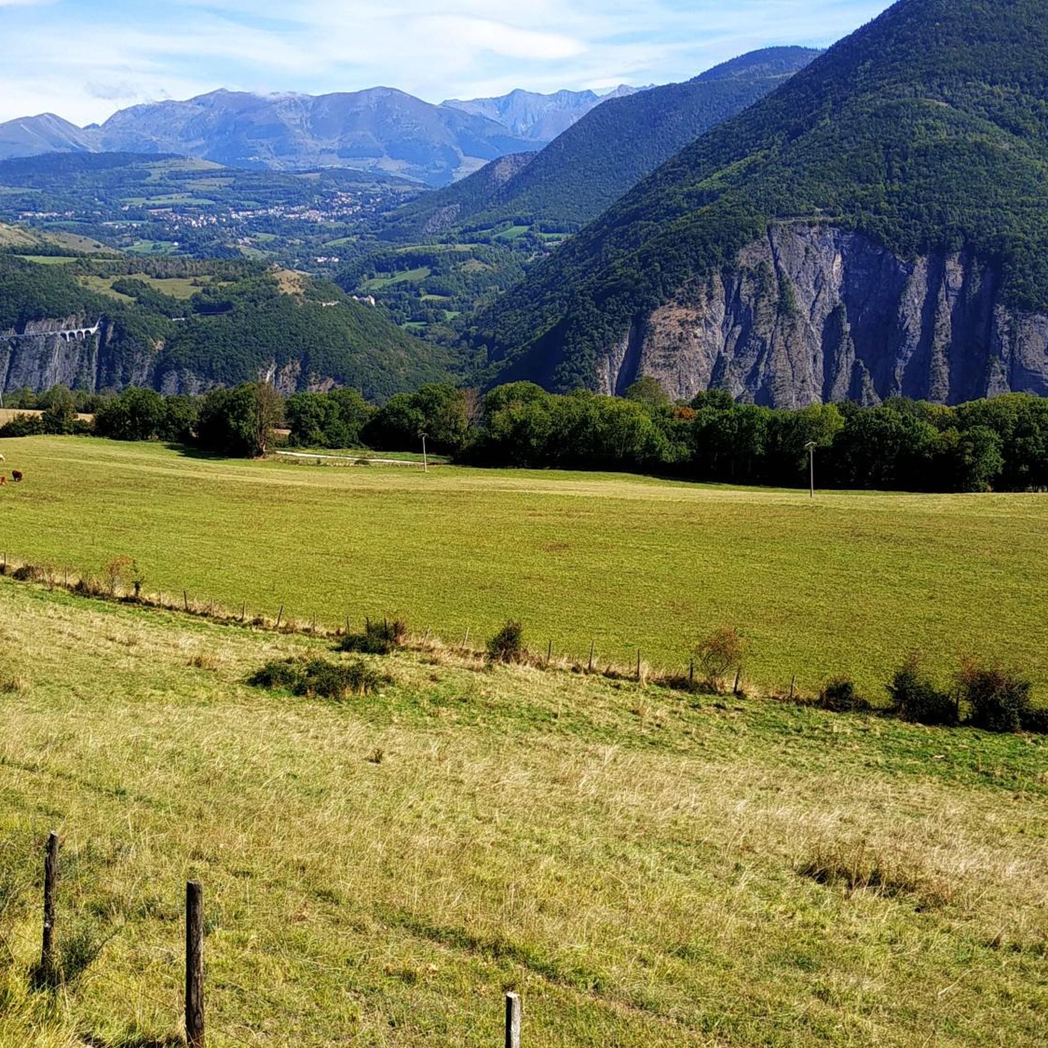

Tips from the Community

A lake with turquoise waters! The lake of Monteynard Avignonet stretches between Trièves and Matheysine. Located 25 km south of Grenoble, this artificial reservoir with its imposing dam is a paradise for gliding and sailing activities (kitesurfing, windsurfing, wing foiling, dinghies...). Its turquoise waters have made it famous, as well as the Himalayan footbridges hike, unique in Europe! You can also enjoy many other activities such as paddleboarding, fishing, and mountain biking...
0
0

Technical passage, stay focused and careful on the supports. Magnificent!
0
0


Very beautiful footbridge, be careful for people who are afraid of heights.
0
0

great hike to do in good weather. very shaded
0
0

The Pont de Brion belvedere offers a breathtaking view of the charming stone bridge that spans the river below, with green hills as a backdrop. Along the trail, enjoy the tranquility of the place and the vibrant greenery that characterizes this picturesque spot.
0
0

Beautiful but unfortunately becoming a bit of a victim of its success. Done on the morning of November 2nd and there were a lot of people.
2
1
Frequently Asked Questions
How many mountaineering routes are available around Avignonet?
There are 5 distinct mountaineering routes around Avignonet, offering a variety of experiences from easy strolls to challenging ascents.
Are there easy mountaineering routes suitable for beginners in Avignonet?
Yes, for beginners or those seeking a less strenuous experience, the Passerelle de L'Ébron loop from Communauté de communes du Trièves is an excellent choice. It's an easy 2.2-mile (3.6 km) trail that takes about 1 hour 24 minutes to complete.
Are there challenging mountaineering routes for experienced hikers?
Absolutely. Experienced mountaineers can tackle routes like the Drac Footbridge – Ebron Footbridge loop from Mayres-Savel, a difficult 9.7-mile (15.6 km) trail with significant elevation gain, or the Highly technical passage loop from Château-Bernard, which is also considered difficult and covers 9.8 miles (15.8 km).
What is the best season for mountaineering near Avignonet?
The best seasons for mountaineering around Avignonet are generally spring, summer, and early autumn. During these times, the weather is more stable, and trails are typically free of snow, offering optimal conditions for exploring the river valleys and footbridges. Always check local weather forecasts before heading out.
Are there circular mountaineering routes around Avignonet?
Yes, many of the routes are designed as loops, allowing you to start and finish at the same point. Examples include the Magnificent view – Drac Footbridge loop from Mayres-Savel and the Rocher des Deux Soeur – La Soldanelle Refuge loop from Château-Bernard.
What interesting landmarks can I see along the mountaineering routes?
The routes often feature impressive natural and man-made landmarks. You can expect to encounter the iconic Ebron Footbridge and Drac Footbridge, which are prominent features of the landscape. Other notable sights include La Pierre Percée and various viewpoints offering stunning vistas of lakes like Lake Laffrey and Lake Monteynard.
Are the mountaineering routes around Avignonet dog-friendly?
Many trails in the region are generally dog-friendly, but it's always advisable to keep dogs on a leash, especially in areas with livestock or protected wildlife. Some routes may have sections that are challenging for pets due to steep terrain or footbridges, so consider your dog's fitness and agility.
Are there family-friendly mountaineering trails?
For families, the easier routes are most suitable. The Passerelle de L'Ébron loop from Communauté de communes du Trièves is a shorter, less demanding option that can be enjoyed by families with children, offering a taste of the region's beauty without excessive difficulty.
Is there public transport access to the mountaineering routes near Avignonet?
Public transport options directly to all trailheads around Avignonet can be limited, as many starting points are in more rural areas. It's often recommended to travel by car for maximum flexibility, though some local bus services might connect to larger villages near certain routes. Always check local transport schedules in advance.
Are there parking facilities available at the trailheads?
Yes, most popular trailheads around Avignonet, especially those for the well-known footbridge loops, typically offer designated parking areas. These are usually free, but it's always a good idea to arrive early during peak season to secure a spot.
What do other mountaineers enjoy about the routes in Avignonet?
The mountaineering routes in Avignonet are highly rated by the komoot community, with an average score of 4.75 stars. Reviewers often praise the stunning views, the unique experience of crossing the Drac and Ebron footbridges, and the varied terrain that caters to different skill levels.
How long do mountaineering routes near Avignonet typically take?
The duration of routes varies significantly based on difficulty and distance. You can find shorter, easy loops like the Passerelle de L'Ébron loop, which takes about 1 hour 24 minutes. More challenging routes, such as the Highly technical passage loop, can take over 7 hours to complete.
Most popular routes around Avignonet
Most popular attractions around Avignonet

Get inspired with the komoot mobile app


Explore more
Browse the best Mountain Hikes & Routes in other regions.
