The best mountain hikes around Chantelouve
4.6
(8)
86
hikers
13
hikes
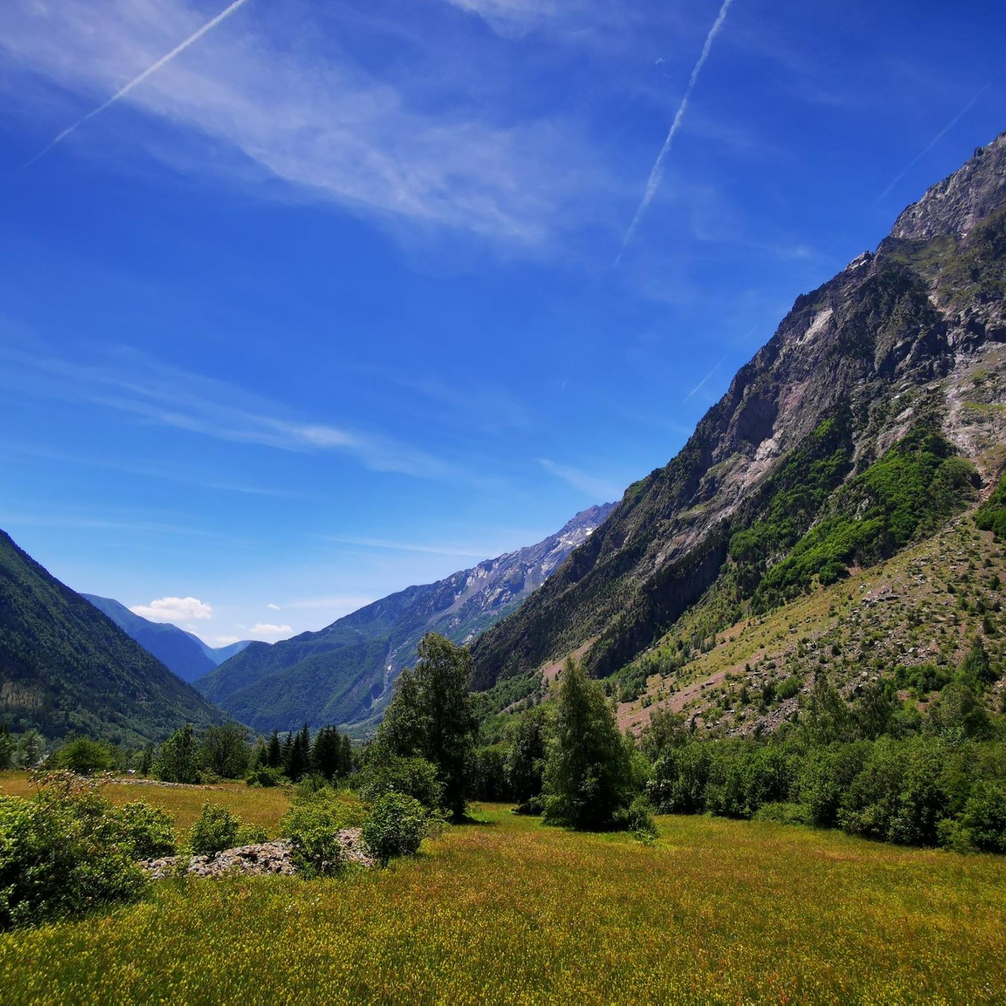
Mountaineering routes around Chantelouve are situated in the Oisans massif, within France's Isère department, bordering the Écrins National Park. This region is characterized by diverse alpine terrain, including significant peaks, high-altitude lakes, and extensive forests. The landscape offers a range of challenges, from demanding ascents to routes exploring mountainous environments. Its geographical position provides access to a variety of natural features suitable for experienced mountaineers.
Best mountaineering routes around Chantelouve
- The most popular mountaineering route is Lake Lauvitel loop from…
Last updated: July 15, 2026
4.5
(2)
16
hikers
10.2km
05:52
850m
850m
Hard mountaineering route. Very good fitness required. Sure-footedness, sturdy shoes and alpine experience required.
14
hikers
9.18km
04:16
790m
790m
Hard mountaineering route. Good fitness required. Sure-footedness, sturdy shoes and alpine experience required.

Sign up for free
11
hikers
13.3km
06:30
1,060m
1,060m
Hard mountaineering route. Very good fitness required. Sure-footedness, sturdy shoes and alpine experience required.
4.0
(1)
11
hikers
8.99km
04:04
830m
830m
Hard mountaineering route. Good fitness required. Sure-footedness, sturdy shoes and alpine experience required.
3.7
(3)
8
hikers
10.9km
06:27
1,180m
1,170m
Hard mountaineering route. Very good fitness required. Mostly accessible paths. Sure-footedness required.
Get access to more routes and recommendations from other explorers.
Sign up for free
Already have an account?
Our route recommendations are based on thousands of hikes, rides, and runs completed by other people on komoot.
Start today with a free account
Your next adventure awaits.
Login or Signup
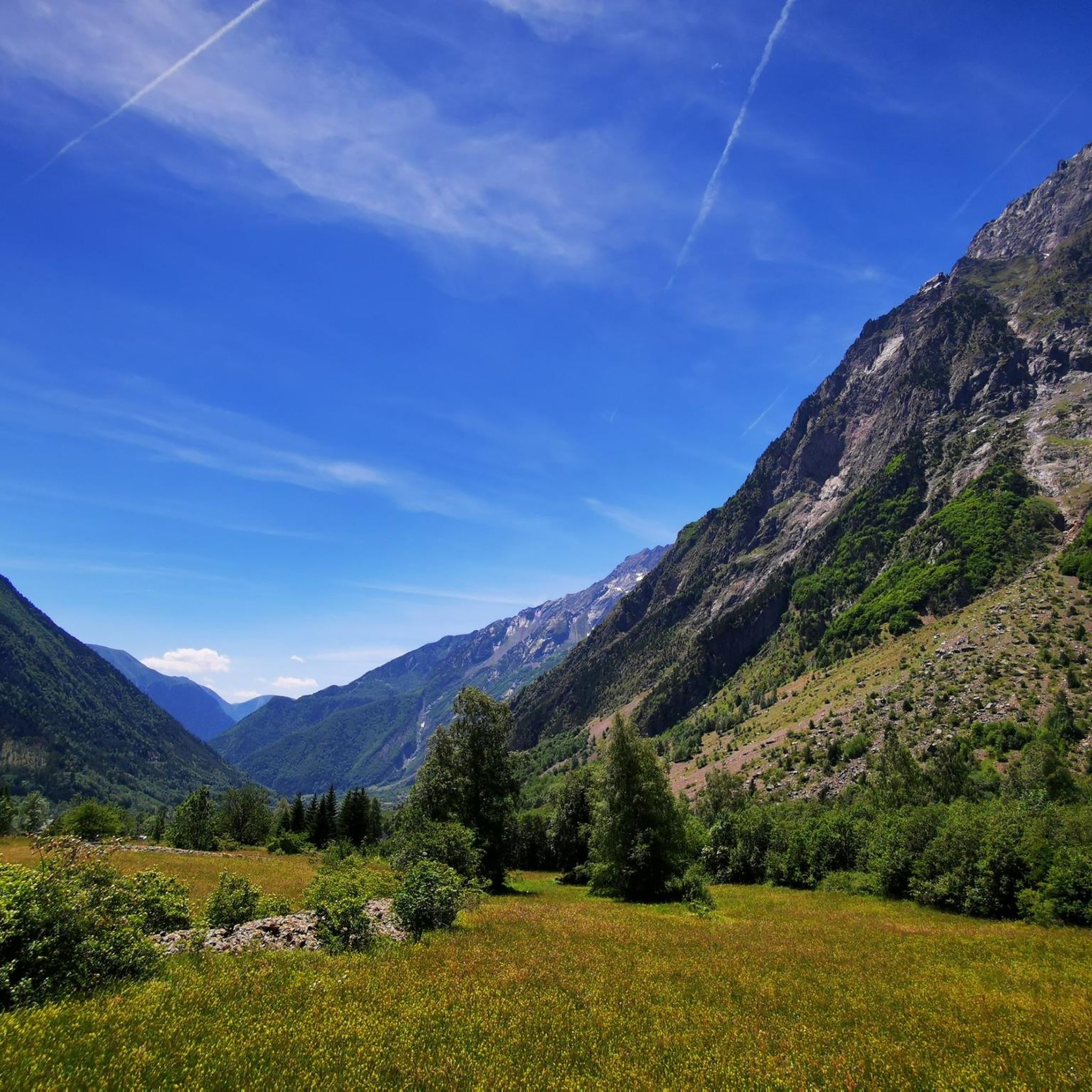
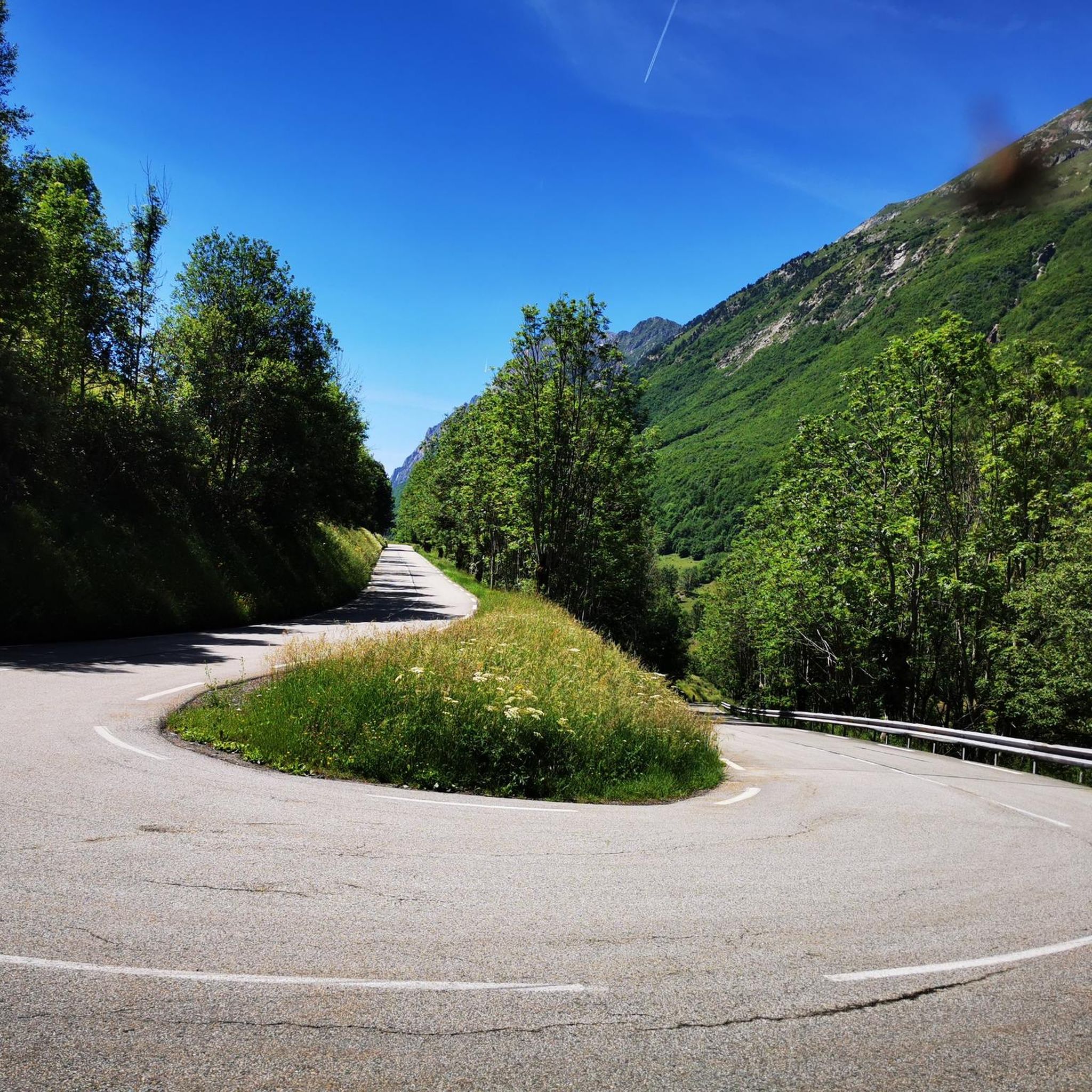
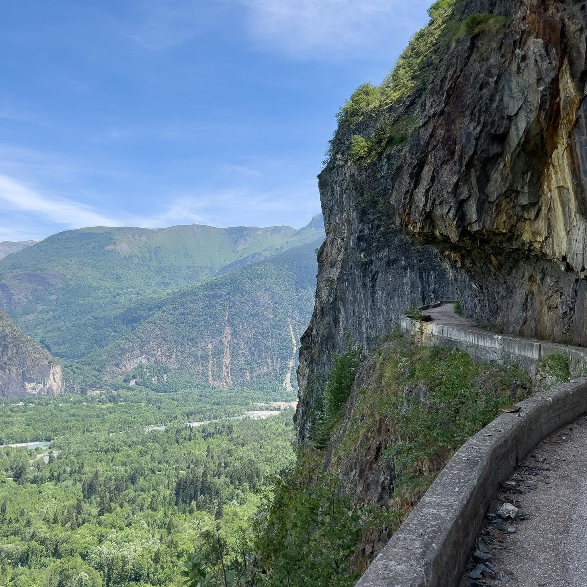
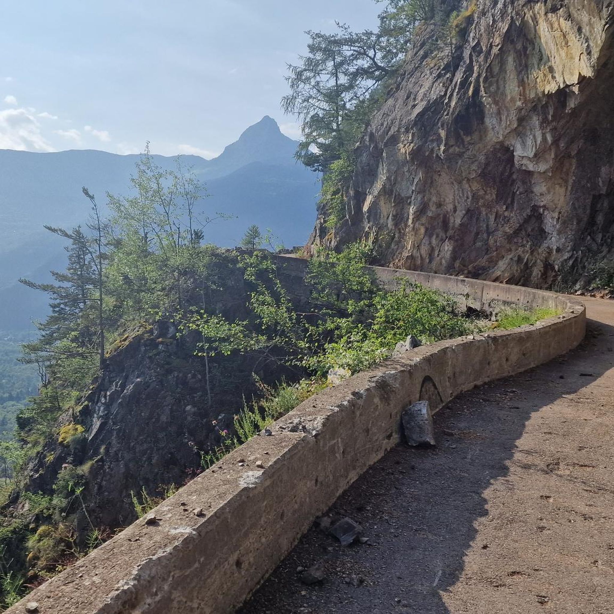

Tips from the Community

A high-altitude lake, very quiet and rarely visited. The lake is at an altitude of 2,115 m. It offers breathtaking 360° views.
0
0

An easy pass, away from traffic, in the very heart of the Alpe du Grand Serre Station. From Séchilienne, approx. 15km for D+ 1000m. To do in summer to enjoy the freshness of this shady slope.
2
0
Classic place for walks, quite popular in summer with hikers.
1
0

The Col de la Morte opens a window onto the Alpine landscapes. A Mecca for cyclists, hikers and trail runners, it is the scene of memorable climbs and outdoor adventures!
0
0
At the heart of the Oisans massif is Lake Brouffier, a high-altitude jewel in Isère. Its shimmering waters reflect the surrounding peaks.
0
0

The Col de la Morte from Sechilienne is 15.3 km long with a total drop of 1003 m. The average gradient is 6.56% with maximum gradients of 9.3%. A very nice climb to do during the summer months because the climb is mostly in the shade. When you get to the top you can go down the other side to La Mure.
3
0

At the top of Taillefer, you will enjoy your presence on the highest peak of the massif while enjoying a breathtaking view of all the surrounding mountains. An exceptional summit, not to be missed.
3
0

Hike from the "waterfall", climb in the forest then following the return path of the via ferrata. Attention passages require to put the hands, cables.
0
0
Frequently Asked Questions
What is the overall difficulty level of mountaineering routes around Chantelouve?
Chantelouve offers a range of mountaineering routes catering to different skill levels. While there are no easy routes listed, you'll find 6 moderate routes and 13 difficult routes. This diverse selection ensures that both those looking for a solid challenge and those seeking a more demanding alpine experience can find suitable options.
Are there any circular mountaineering routes in the Chantelouve area?
Yes, several routes around Chantelouve are designed as loops, allowing you to start and finish at the same point. Notable circular routes include the Lake Lauvitel loop from La Danchère, a moderate 6.6 km trail, and the more challenging Muzelle Refuge – Lake Lauvitel loop from Venosc, which covers 20.9 km. Another option is the Via Ferrata du Grand Bec – Lac de Brouffier loop from La Morte, a difficult 10.2 km route.
What kind of natural features and landmarks can I expect to see on these mountaineering routes?
The mountaineering routes around Chantelouve are rich in natural beauty. You'll encounter stunning mountain lakes like Lake Lauvitel, a classic destination within the Écrins National Park. The region is also defined by its panoramic peaks, offering spectacular vistas of the surrounding massifs. The Waterfall – Muzelle Refuge loop from Champ du Moulin specifically highlights a waterfall, adding another beautiful natural element to your journey.
What is the best time of year for mountaineering in Chantelouve?
The prime season for mountaineering in Chantelouve typically aligns with late spring, summer, and early autumn, when snow has largely receded from higher elevations and weather conditions are more stable. However, for routes involving significant altitude or exposed sections, it's crucial to be aware that snowfields might persist, requiring crampons and ice axes, especially on peaks like Pointe de Malhaubert. Always check local conditions and forecasts before heading out.
Are there any family-friendly mountaineering options around Chantelouve?
While many mountaineering routes in Chantelouve are challenging, some moderate options might be suitable for families with older, experienced children. For instance, the Lake Lauvitel loop from La Danchère is a moderate 6.6 km trail that explores a beautiful lake, which could be a rewarding experience for active families. Always consider the elevation gain and duration when planning with children.
Can I bring my dog on the mountaineering routes in Chantelouve?
Chantelouve borders the Écrins National Park, where specific regulations regarding dogs apply. While some areas outside the core zone might permit dogs on a leash, it's essential to verify the exact rules for each specific route, especially when entering or approaching the National Park boundaries. Always ensure your dog is well-behaved and capable of handling the terrain and duration of the chosen route.
What do other mountaineers say about the routes in Chantelouve?
The mountaineering routes in Chantelouve are highly regarded by the komoot community, boasting an average rating of 4.6 stars from nearly 20 reviews. Mountaineers often praise the diverse alpine terrain, the stunning mountain lakes, and the panoramic peaks, highlighting the region's appeal for both challenging ascents and immersive experiences in a pristine natural environment.
Are there any particularly challenging mountaineering routes for experienced climbers?
Absolutely. For experienced mountaineers seeking a significant challenge, Chantelouve offers several difficult routes. The Muzelle Refuge – Lake Lauvitel loop from Venosc is a demanding 20.9 km path with over 1700 meters of elevation gain, traversing high alpine terrain. Another difficult option is the Lac Charlet – L'Oreille du Loup loop from Villard-Saint-Christophe, which offers a substantial climb and descent over 9.2 km.
What kind of wildlife might I encounter while mountaineering in Chantelouve?
The Chantelouve region, particularly due to its proximity to the Écrins National Park, is home to diverse alpine wildlife. Mountaineers often have the chance to spot ibex, chamois, and various bird species, including griffon vultures soaring overhead. Maintaining a respectful distance and observing quietly will increase your chances of a memorable wildlife encounter.
Is public transport available to access mountaineering routes around Chantelouve?
Accessing specific trailheads for mountaineering routes in Chantelouve primarily relies on personal vehicles due to the mountainous and somewhat remote nature of the area. While there might be limited local bus services connecting larger towns in the Oisans massif, direct public transport to many starting points for high-altitude routes can be infrequent or unavailable. Planning for car access or local taxi services is generally recommended.
Where can I find parking for mountaineering routes in Chantelouve?
Parking availability varies by trailhead. For routes like the Lake Lauvitel loop, you would typically find parking near La Danchère. For routes starting from Venosc or La Morte, designated parking areas are usually available in or near these villages. It's advisable to check specific route descriptions or local information for the most convenient parking spots, especially during peak season.
Are there any permits required for mountaineering in the Chantelouve area, especially near Écrins National Park?
Generally, no specific permits are required for day hikes or mountaineering on established trails in the Chantelouve area or within the Écrins National Park. However, certain activities, such as bivouacking outside designated areas or specific climbing routes, might have regulations. It's always prudent to consult the Écrins National Park official guidelines for any specific restrictions or recommendations before your trip, especially if planning an overnight stay.
Most popular routes around Chantelouve
Most popular attractions around Chantelouve

Get inspired with the komoot mobile app


Explore more
Browse the best Mountain Hikes & Routes in other regions.
