The best walks and hikes around Nogna
4.4
(1245)
6,236
hikers
203
hikes
Hiking around Nogna, located in the Jura region, offers diverse natural landscapes for outdoor activities. The area is characterized by impressive Surchauffant cliffs, the expansive Lac de Vouglans, and the Ain River. Geological formations like the Giant's Kettles are also present. Forests, often with moss-covered rocks, surround Lac de Vouglans, providing varied terrain for hiking trails.
Best hiking trails around Nogna
- The most popular hiking route is Surchauffant cliffs – View of Lac de Vouglans loop from Largillay-Marsonnay, a…
Last updated: July 6, 2026
4.2
(17)
38
hikers
Easy hike. Great for any fitness level. Easily-accessible paths. Suitable for all skill levels.
4.4
(12)
38
hikers
7.66km
02:11
170m
180m
Moderate hike. Good fitness required. Easily-accessible paths. Suitable for all skill levels.

Sign up for free
4.5
(6)
27
hikers
9.83km
02:39
120m
120m
Moderate hike. Good fitness required. Easily-accessible paths. Suitable for all skill levels.
4.2
(9)
32
hikers
9.52km
02:37
160m
160m
Moderate hike. Good fitness required. Easily-accessible paths. Suitable for all skill levels.
3.0
(2)
6
hikers
Moderate hike. Good fitness required. Easily-accessible paths. Suitable for all skill levels.
Get access to more routes and recommendations from other explorers.
Sign up for free
Already have an account?
Our route recommendations are based on thousands of hikes, rides, and runs completed by other people on komoot.
Start today with a free account
Your next adventure awaits.
Login or Signup

Tips from the Community

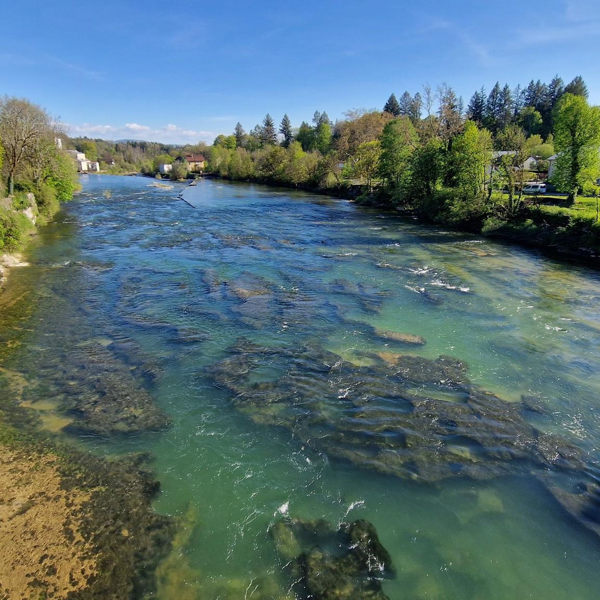
The Saut de la Saisse is a waterfall in France located in the Jura massif, at the point where the Ain river flows into the Vouglans reservoir at Pont-de-Poitte and Patornay, between Lons-le-Saunier and Clairvaux-les-Lacs. A "marmite du diable", "marmite de géant" or "marmite glaciaire" in Switzerland (or simply "marmite" or "chaudron") is a more or less cylindrical natural cavity carved into the rock by ancient, generally torrential watercourses, carrying pebbles or gravel, which promotes swirling erosion (a phenomenon called "marmitage").
0
0


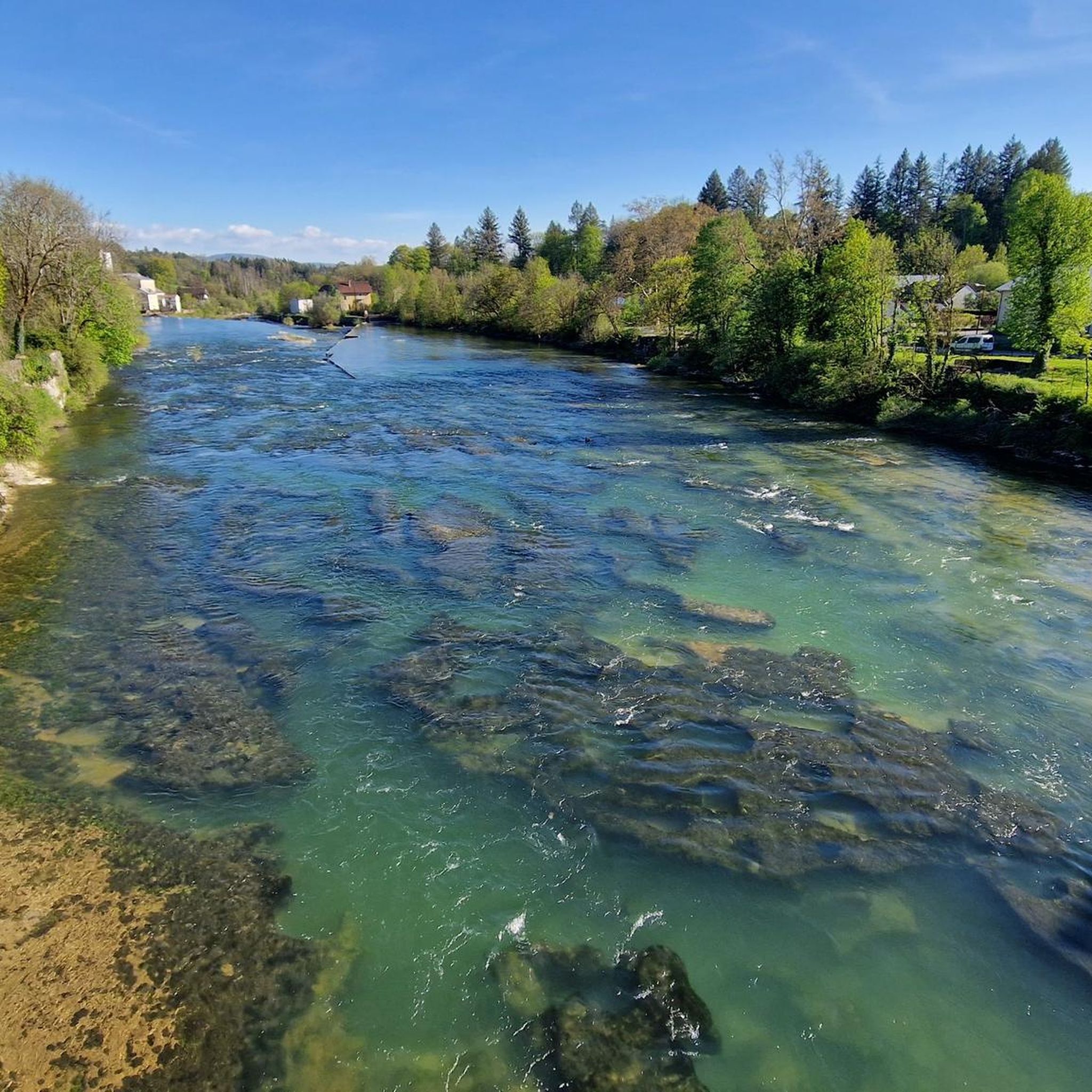
Great view of the Ain, this is where the Lac de Vouglans begins. When the water level is high, the stones are of course not so easy to see.
0
0


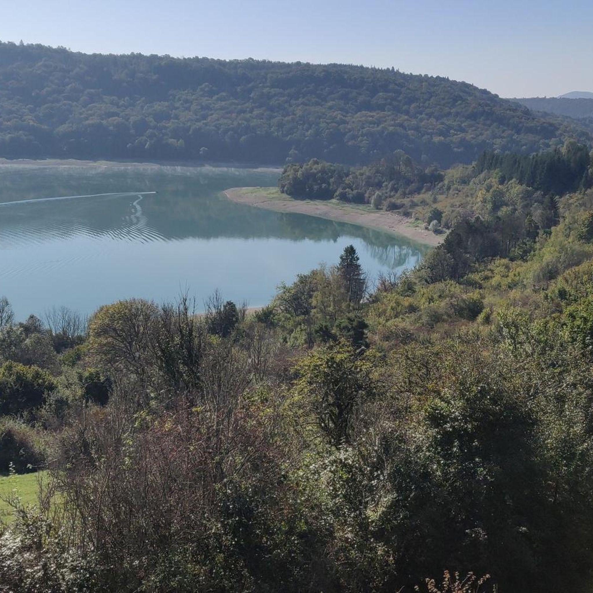
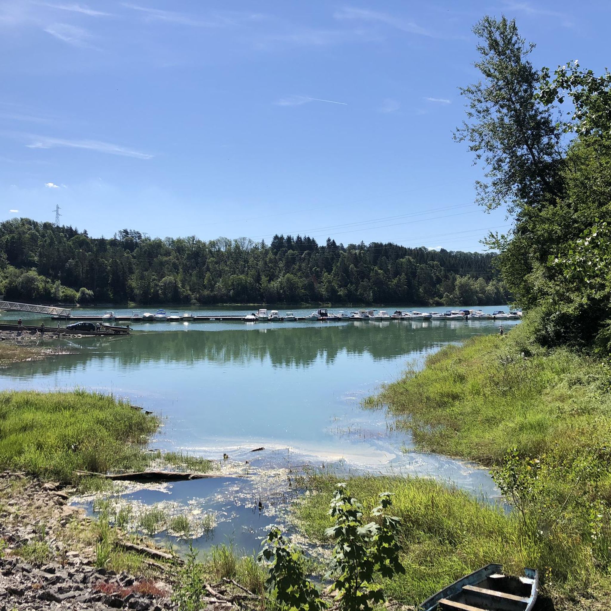
Pont-de-Poitte is a charming village in Jura, France, known for its location on the banks of the Vouglans Reservoir and the Ain River. It offers beautiful views, water activities and a peaceful atmosphere for visitors to enjoy.
1
0

Shortly before reaching Lake Vouglans, the Ain crosses rocks which create a series of waterfalls. From the bridge that crosses Pont-de-Poitte, the view of this strange limestone formation is superb.
1
1
At Pont-de-Poitte, near the port of La Saisse, the Ain flows into Lake Vouglans. The river flowing through the rocks and gradually widening to form the famous 35 kilometer long body of water creates a beautiful landscape.
2
0
Frequently Asked Questions
How many hiking trails are available in Nogna?
Nogna offers a wide variety of hiking experiences, with over 190 trails to explore. These range from easy strolls to more challenging expeditions, catering to different fitness levels.
What types of landscapes can I expect to see while hiking in Nogna?
Hiking in Nogna, located in the Jura region, provides diverse natural landscapes. You'll encounter impressive Surchauffant cliffs offering expansive views of Lac de Vouglans, the Ain River, and distinctive geological formations like the Giant's Kettles. Many trails also lead through forests characterized by moss-covered rocks.
Are there any waterfalls to discover on hikes around Nogna?
Yes, Nogna is home to beautiful waterfalls. You can explore the Quinquenouille Waterfall, which is part of a scenic loop trail that also offers views of Lake Vauglans. Another notable waterfall is the Baume-les-Messieurs Tufa Waterfall, located in the nearby natural monuments area.
What are the Giant's Kettles and how can I hike to them?
The Giant's Kettles (Marmites des géants) are unique geological formations that can be explored via several loop trails. These routes, often originating from Pont-de-Poitte and À la Saisse, are typically considered easy and accessible for all skill levels, offering a stunning and astonishing natural sight.
Are there family-friendly hiking options in Nogna?
Absolutely. Nogna has 90 easy trails, many of which are suitable for families. Routes exploring the Giant's Kettles, for instance, are known to be accessible for all skill levels. The View of the Ain at Pont-de-Poitte – Pont-de-Poitte loop is another easy option, taking about 40 minutes to complete.
Can I find circular hiking routes in Nogna?
Yes, many of Nogna's trails are circular, allowing you to start and end at the same point. Examples include the Surchauffant cliffs – View of Lac de Vouglans loop from Largillay-Marsonnay and the Quinquenouille Waterfall – Lake Vauglans loop from Largillay-Marsonnay.
What do other hikers enjoy most about hiking in Nogna?
The komoot community highly rates the hiking in Nogna, with an average score of 4.4 stars from over 1,100 reviews. Hikers frequently praise the expansive views of Lac de Vouglans from the Surchauffant cliffs, the unique geological formations, and the varied terrain that includes both gentle paths and more challenging sections.
Are there longer, more challenging hikes available in Nogna?
Yes, Nogna offers trails for more strenuous treks. Options include hikes lasting over five hours with more than 3,000 feet of elevation gain, some potentially requiring alpine experience. The Surchauffant cliffs – View of Lac de Vouglans loop is a moderate 9.3-mile (15.0 km) trail with over 1,300 feet (400m) of elevation gain.
Are there any trails that offer views of Lac de Vouglans?
Many trails in Nogna provide excellent views of Lac de Vouglans. The Surchauffant cliffs – View of Lac de Vouglans loop is specifically known for its expansive vistas of the lake. Another popular route, Stunning view of the lake – View of the Ain at Pont-de-Poitte loop, also offers scenic views of the lake and the Ain River.
Can I hike along the Ain River in Nogna?
Yes, the region provides excellent vantage points of the Ain River, especially where it converges with Lac de Vouglans. Trails like the Stunning view of the lake – View of the Ain at Pont-de-Poitte loop and the View of the Ain at Pont-de-Poitte – Pont-de-Poitte loop lead through the Ain River area.
What is the best time of year to go hiking in Nogna?
The Jura region, including Nogna, is generally pleasant for hiking from spring through autumn. Many paths are well-shaded, making them enjoyable even during warmer months. For specific conditions, it's always advisable to check local weather forecasts before heading out.
Are there dog-friendly hiking trails in Nogna?
While specific regulations can vary, many outdoor trails in Nogna are generally suitable for dogs, provided they are kept under control, especially in areas with wildlife or livestock. It's always recommended to check individual trail guidelines or local signage for any specific restrictions.
Where can I find parking for hiking trails in Nogna?
Parking availability varies by trailhead. Many popular routes, such as those originating from Largillay-Marsonnay or Pont-de-Poitte, typically have designated parking areas nearby. It's best to check the details for your chosen route on komoot for specific parking information.
Most popular attractions around Nogna

Get inspired with the komoot mobile app


Explore more
Browse the best Hikes in other regions.
