The best walks and hikes around Plounéventer
4.4
(390)
2,386
hikers
158
hikes
Hiking around Plounéventer offers access to a diverse landscape in the Finistère department of Brittany, France. The terrain features "sub-woods" and "bocages," providing shaded and picturesque walking environments, with altitudes ranging from 14m to 108m. Local trails often incorporate sections along rivers, offering waterside walks. The region is also strategically located near significant natural attractions like the Monts d'Arrée and extensive forests such as Huelgoat and Cranou, which provide varied hiking experiences.
Best hiking trails around Plounéventer
- The most popular…
Last updated: July 9, 2026
4.6
(27)
120
hikers
7.56km
01:56
20m
20m
Easy hike. Great for any fitness level. Easily-accessible paths. Suitable for all skill levels.
4.0
(5)
10
hikers
8.74km
02:24
140m
140m
Moderate hike. Good fitness required. Easily-accessible paths. Suitable for all skill levels.

Sign up for free
8
hikers
11.0km
02:54
90m
90m
Moderate hike. Good fitness required. Easily-accessible paths. Suitable for all skill levels.
3.7
(3)
10
hikers
10.3km
02:45
110m
110m
Moderate hike. Good fitness required. Easily-accessible paths. Suitable for all skill levels.
4.0
(2)
9
hikers
12.9km
03:27
150m
150m
Moderate hike. Good fitness required. Easily-accessible paths. Suitable for all skill levels.
Get access to more routes and recommendations from other explorers.
Sign up for free
Already have an account?
Our route recommendations are based on thousands of hikes, rides, and runs completed by other people on komoot.
Start today with a free account
Your next adventure awaits.
Login or Signup
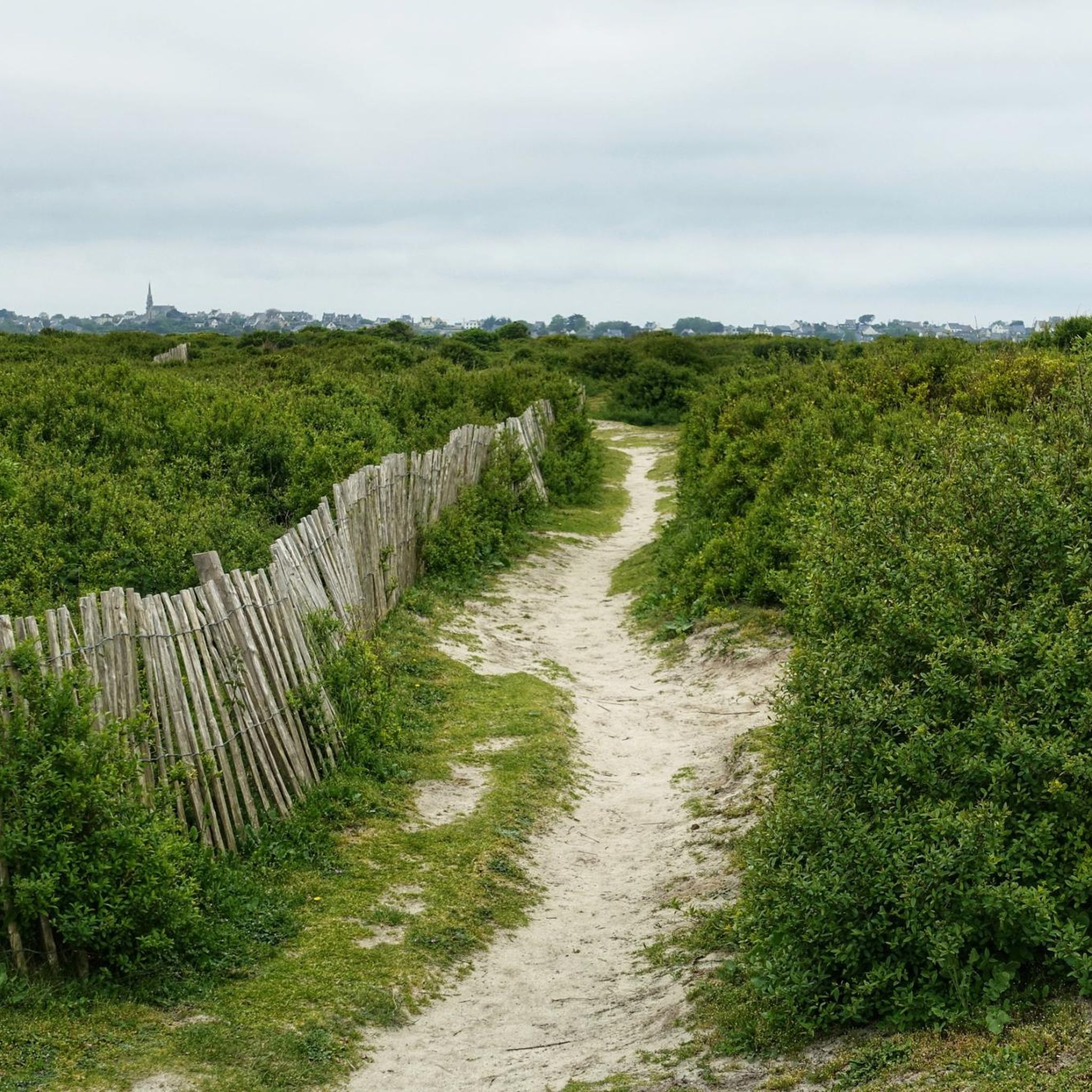
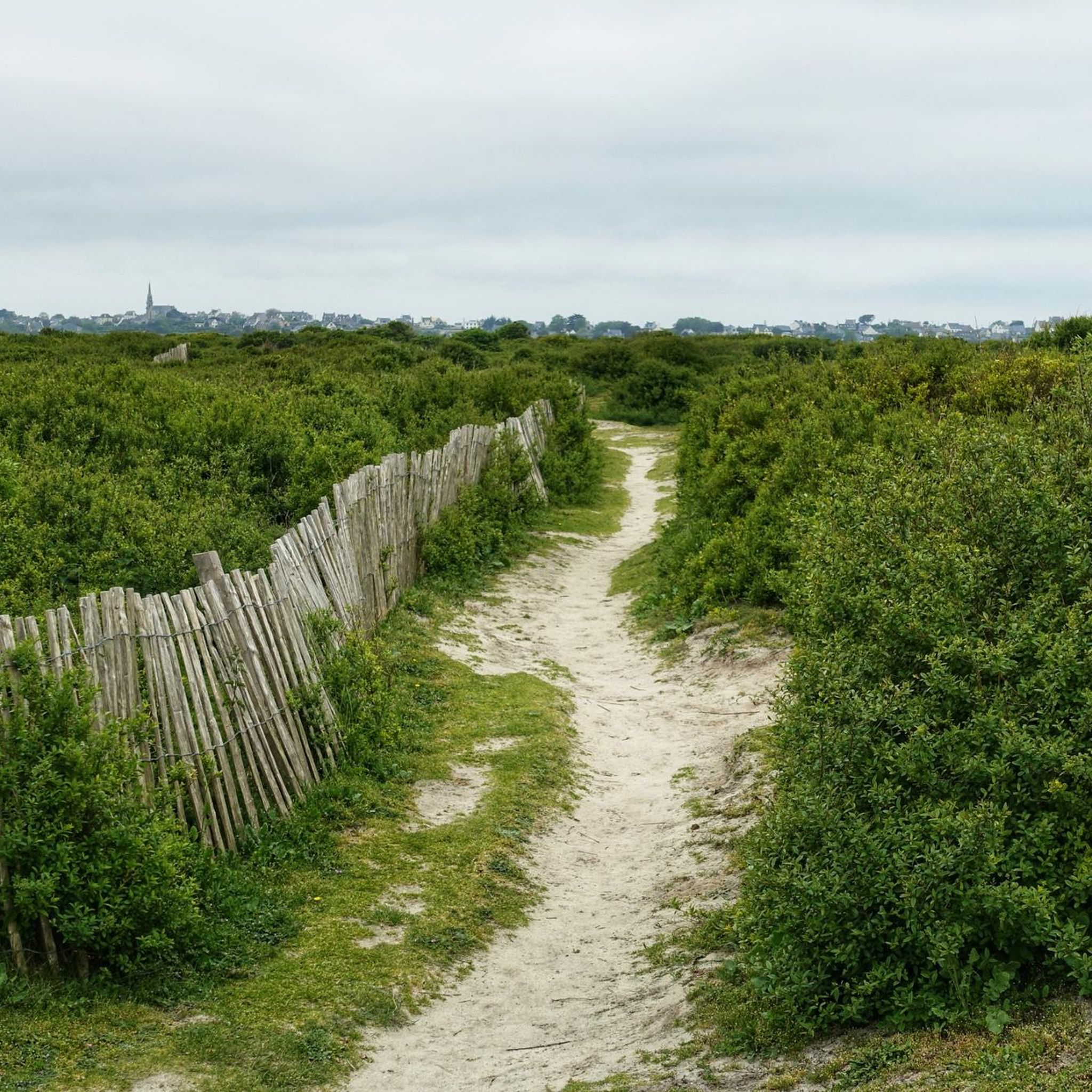
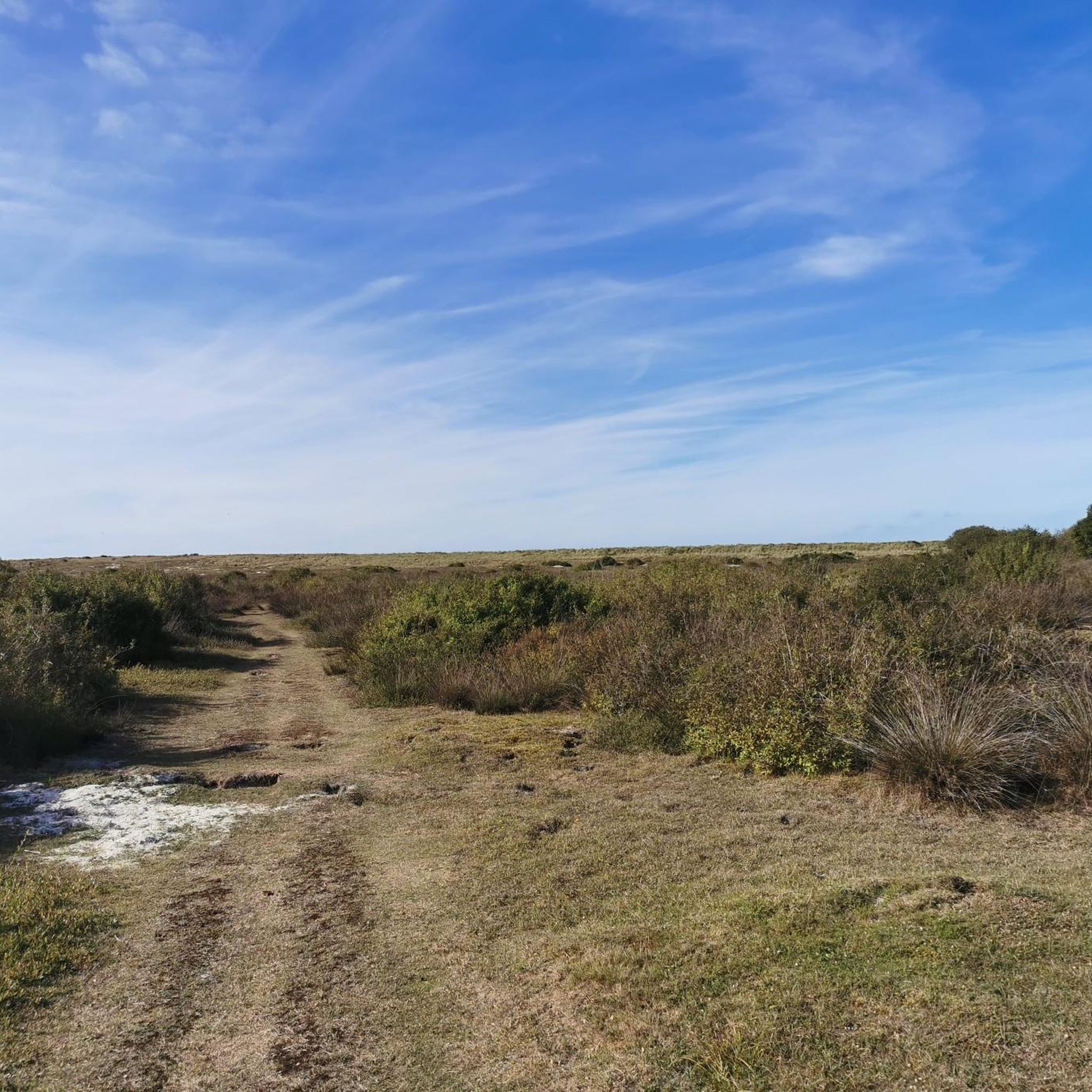

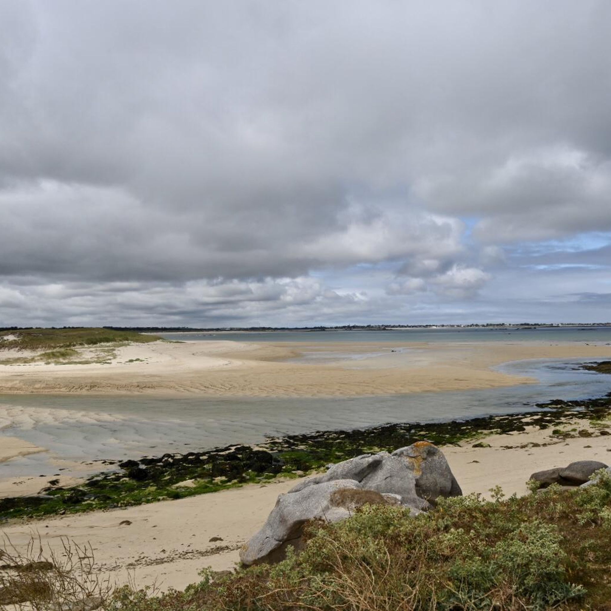
Tips from the Community


Great hike, scenery and paths beautiful.
1
0


The Château de La Roche-Maurice, a historic Breton jewel from the 13th century, dazzles with its medieval architecture. Nestled in lush greenery, it offers an immersive experience in the feudal past.
0
0
Running through the winding valley of the River L'Élorn, this road offers a picturesque landscape. In 2018, the Tour de France crossed these roads.
1
0

very nice 8km hike in the woods most of the time. No climb.
1
0

Magnificent road through the valley along the river 🌊 L'Élorn. Asphalt is great. The Tour de France also rode this road in 2018.
0
0
Nice to see when you drive past it in the valley. It's impressive how the dilapidated castle 🏰 sits at the top of the hill. La Roche Maurice, residence of the Viscounts of Léon The castle was first mentioned in 1263, but it is undoubtedly older. With those of MORLAIX, BREST and LESNEVEN, it was one of the most important fortresses of the Viscounts of Léon. These lords wielded considerable power: in addition to their land income, they possessed the right to control ships that ran aground on the shores of Léon, the monopoly of salt production and the catching of large fish, the right to high, middle and low justice, the law , to mint money and build fortresses without requiring the Duke's permission. As a result, this prince could hardly control the actions of these powerful feudal lords, which explains why Henry II Plantagenet, King of England, wanted to get his hands on the duchy in the third quarter of the 12th century, they were among his most ardent opponents. Source: https://larochemaurice.fr/chateau/
0
1
Frequently Asked Questions
What types of landscapes can I expect to see while hiking around Plounéventer?
Plounéventer offers a blend of inland charm with diverse landscapes. You'll find picturesque 'sub-woods' and 'bocages' (hedged farmland), providing shaded walking environments. Many local trails also feature pleasant riverside sections. The region is also close to the Monts d'Arrée and extensive forests like Huelgoat and Cranou, offering varied terrain from moorland to dense woodlands.
Are there many hiking options available in Plounéventer?
Yes, there are over 150 hiking routes available around Plounéventer. These range from easy strolls through local woodlands to more moderate excursions exploring the wider Finistère region, ensuring options for various fitness levels.
Are there any easy, family-friendly walks in the area?
Absolutely. Plounéventer has many easy trails suitable for families. For instance, the Hiking loop from Trémaouézan is an easy 4.7-mile (7.6 km) route that takes about 2 hours to complete, often passing through local woodlands and hedged farmlands, perfect for a relaxed family outing.
What historical landmarks or attractions can I discover on a hike?
You can explore several historical sites while hiking. The 13th-century Château de La Roche-Maurice is a prominent attraction, and routes like the La Roche-Maurice Castle – Château de La Roche-Maurice loop from La Roche-Maurice will take you directly past it. Other nearby points of interest include the Basilica of Notre-Dame du Folgoët and the Saint-Yves Church of La Roche-Maurice.
Are there any circular hiking routes around Plounéventer?
Yes, many of the trails around Plounéventer are circular, allowing you to start and end at the same point. An example is the Hiking loop from Saint-Méen, a moderate 6.9-mile (11 km) route that offers a complete loop through the local scenery.
What do other hikers say about the trails in Plounéventer?
The hiking trails around Plounéventer are highly regarded by the komoot community, holding an average rating of 4.5 stars from over 350 reviews. Hikers often praise the quiet woodlands, varied terrain, and the opportunity to explore both local charm and proximity to significant natural attractions.
Can I find longer, more challenging day hikes near Plounéventer?
While many local trails are easy to moderate, Plounéventer's location in Finistère means you're close to more extensive hiking opportunities. The nearby Monts d'Arrée and forests like Huelgoat offer longer, more challenging routes. For a moderate day hike closer to Plounéventer, consider the Kerillien loop from Locmélar, which covers 6.4 miles (10.3 km) with some elevation.
Is it possible to access coastal hiking trails from Plounéventer?
Although Plounéventer is inland, it's situated in a department famous for its extensive coastline. Finistère boasts 2,200 km of coastline, including the renowned GR 34 long-distance hiking trail. While not directly adjacent, you can easily drive to coastal areas to access breathtaking sea views and explore maritime heritage.
What is the best season for hiking in Plounéventer?
The region is enjoyable for hiking throughout much of the year. Spring and autumn offer pleasant temperatures and beautiful foliage, while summer provides longer daylight hours. Even winter hiking can be rewarding, especially in the 'sub-woods' and 'bocages' which offer some shelter, though conditions should always be checked.
Are there any forests or natural parks nearby that offer additional hiking opportunities?
Yes, Plounéventer is strategically located near several significant natural areas. You're close to the mythical Huelgoat Forest, Cranou Forest, and Landévennec Forest, all known for their extensive hiking opportunities, diverse flora and fauna, and varied terrain. These areas provide a wider range of difficulty levels and scenery for hikers looking to explore beyond the immediate vicinity of Plounéventer. You can find more information about some of these forests here: Finistère Forests.
What kind of elevation changes can I expect on trails around Plounéventer?
The altitude in Plounéventer itself ranges from 14m to 108m, meaning local trails generally feature varied but easy to moderate elevation changes. You'll encounter gentle inclines and descents, making most routes accessible. For example, the Château de La Roche-Maurice loop from La Roche-Maurice has an elevation gain of about 137 meters over its 5.2-mile (8.4 km) distance.
Most popular routes around Plounéventer
Most popular attractions around Plounéventer

Get inspired with the komoot mobile app


Explore more
Browse the best Hikes in other regions.
