The best MTB trails around Sant'Antonino
4.4
(380)
2,111
riders
86
rides
Mountain biking around Sant'Antonino, Switzerland, offers diverse and challenging terrain within the Magadino river valley, situated along the northern slope of Monte Ceneri. The region features a rich blend of mountainous landscapes, extensive forests, and numerous rivers and streams, providing varied environments for trails. Riders can find a network of unpaved trails and singletracks, ranging from smooth paths to rugged sections with significant elevation changes. This area is characterized by its varied topography, making it suitable for different mountain biking…
Last updated: August 28, 2026
5.0
(1)
2
riders
6.62km
00:31
60m
60m
Easy mountain bike ride. Great for any fitness level. Suitable for all skill levels.
4.4
(18)
81
riders
52.9km
03:30
910m
910m
Hard mountain bike ride. Very good fitness required. Suitable for all skill levels.

Sign up for free
4.7
(9)
60
riders
49.9km
04:03
860m
860m
Hard mountain bike ride. Good fitness required. Advanced riding skills necessary. Some portions of the route may require you to push your bike.
4.5
(2)
32
riders
Moderate mountain bike ride. Good fitness required. Suitable for all skill levels.
4.5
(10)
40
riders
38.3km
02:59
820m
820m
Hard mountain bike ride. Good fitness required. Advanced riding skills necessary. Some portions of the route may require you to push your bike.
Get access to more routes and recommendations from other explorers.
Sign up for free
Already have an account?
Our route recommendations are based on thousands of hikes, rides, and runs completed by other people on komoot.
Start today with a free account
Your next adventure awaits.
Login or Signup
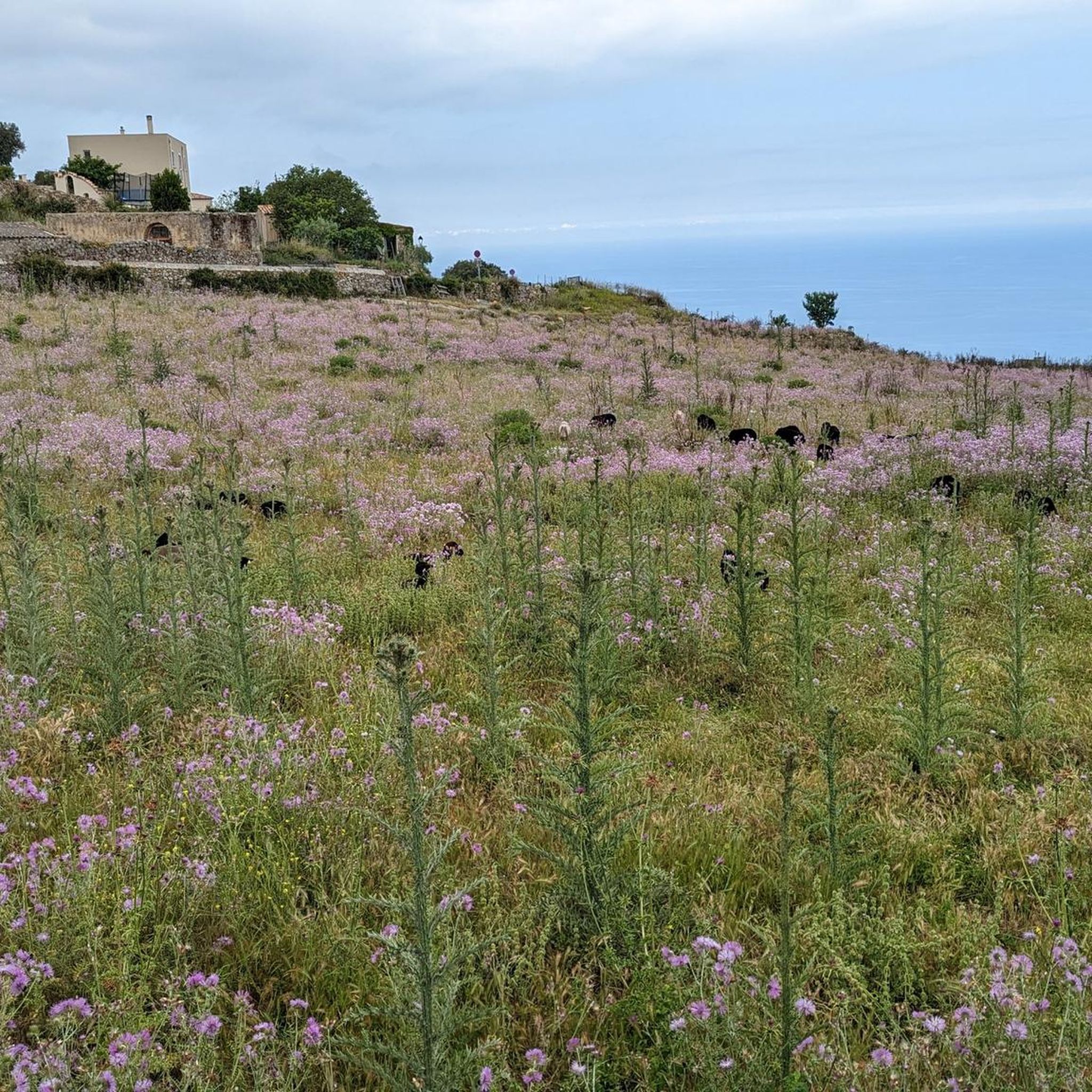
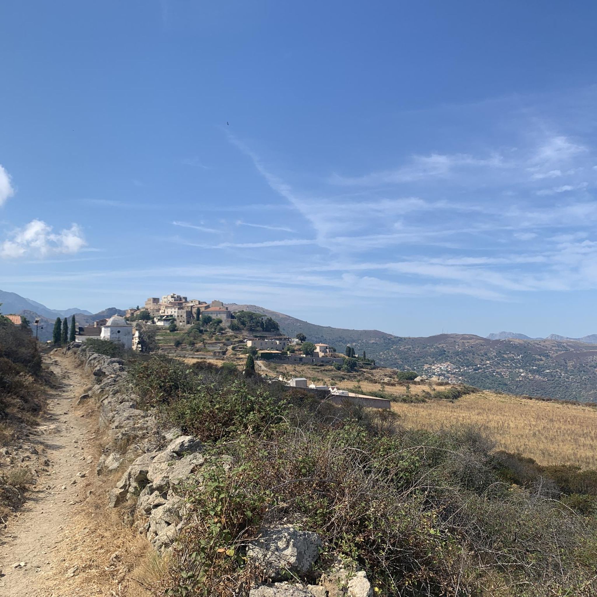
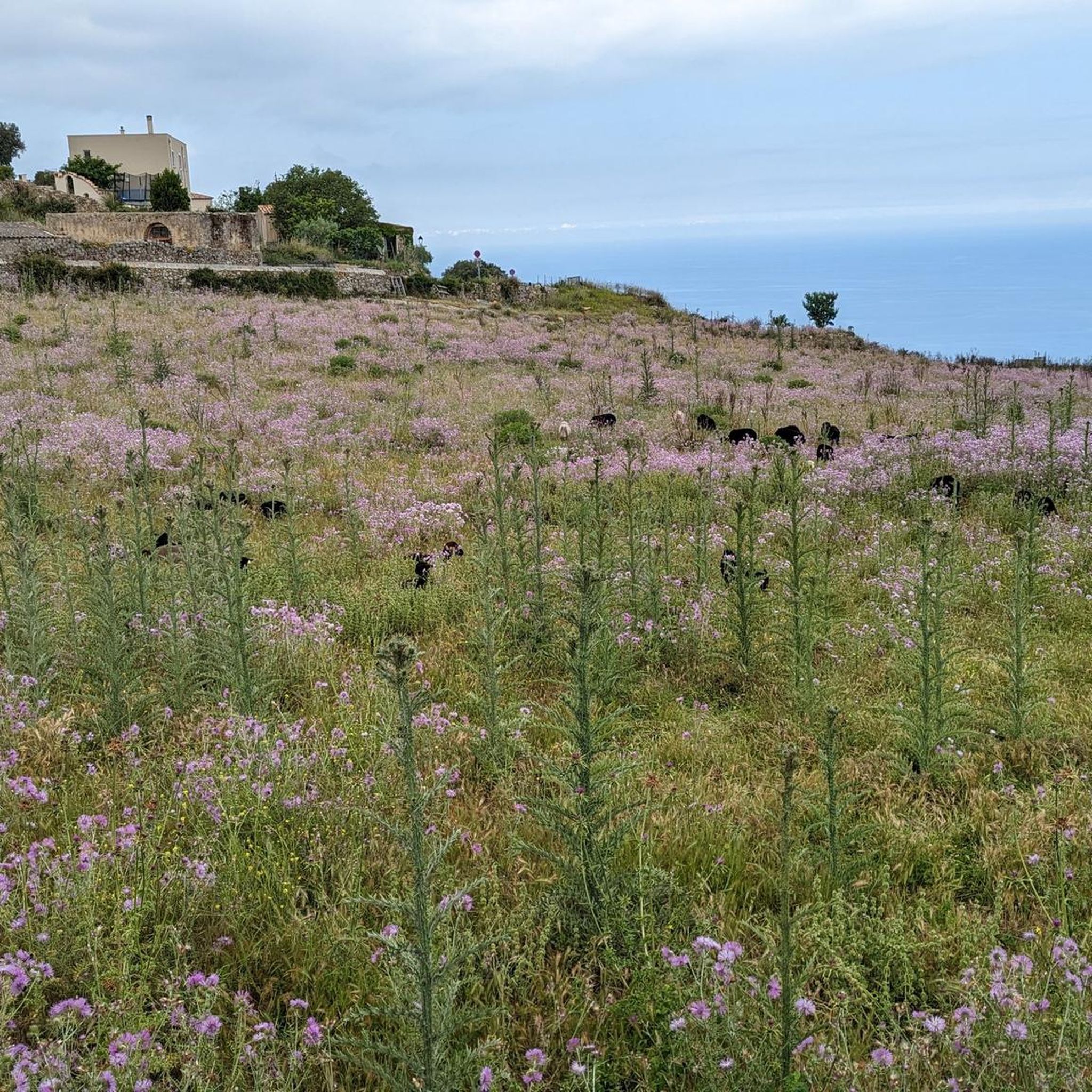
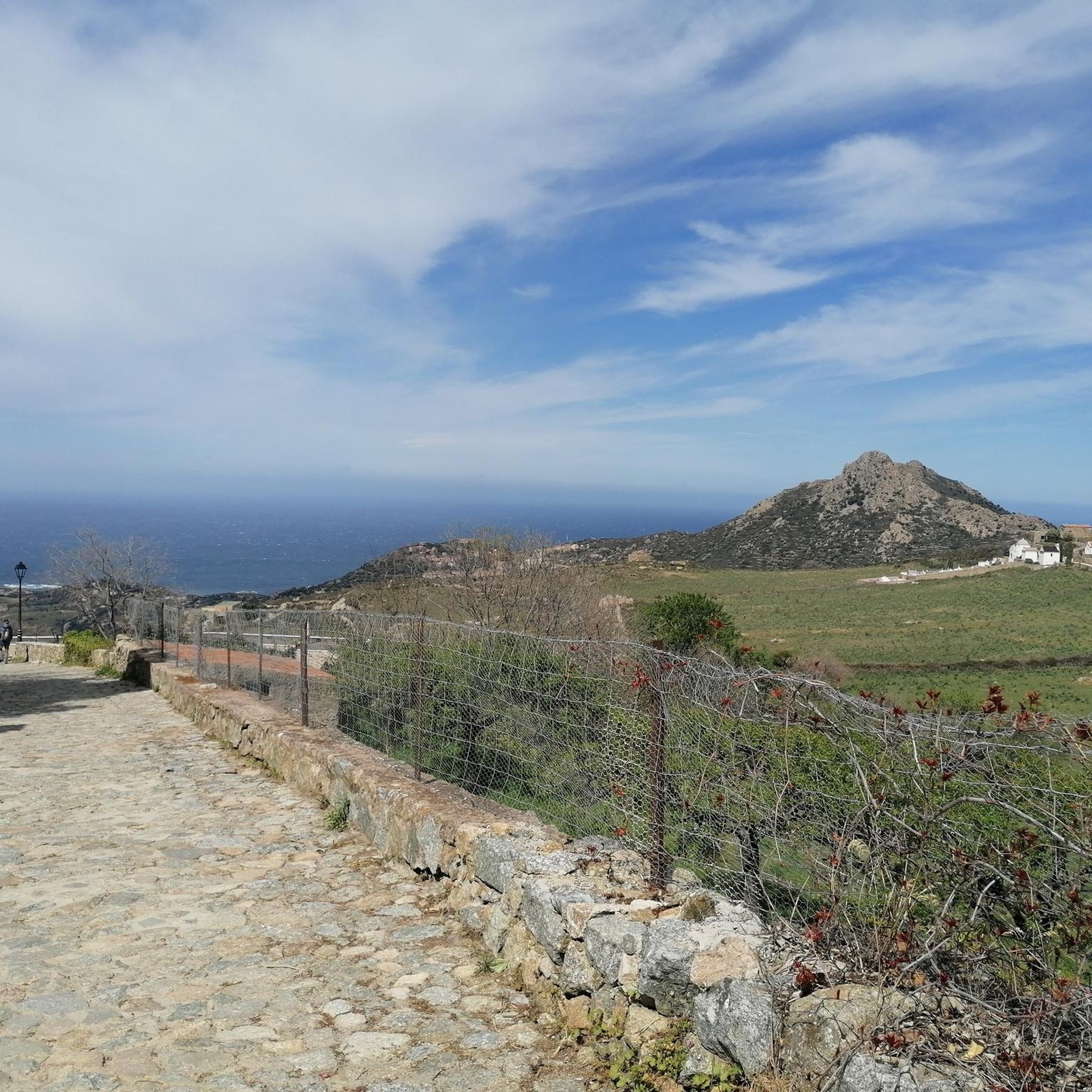

Tips from the Community


The church, located in the middle of a cemetery, was built in the 11th century in the Pisan-Romanesque style. It is considered one of the most beautiful churches in Corsica. It was recently extensively renovated with funds from the EU and the Corsican regional association.
0
0

If you love horses and the Wild West, the ochre grounds of this ranch will take you on a journey. Don't hesitate to walk around to the entrance to ask if a ride is available. This will be an opportunity to swap your bike seat for another one and discover the surroundings in a different way.
0
0

I did the loop in June 2025. It's generally a nice tour, but I highly recommend doing the large southern loop up to the church, including the single trail, in the opposite direction, so you go up the paved road and down the steep motocross section. Strangely enough, the original track above includes an additional loop where you also have to go up the single trail with a few short pushing sections and then return on a well-maintained forest road (not steep). Definitely do it in the opposite direction; then everything is rideable. By the way, I've also reported this to Komoot support. They might change the direction. I recommend doing the loop from Calvi to the church counterclockwise and the short loop at the top of the church clockwise. Have fun on this fantastic and varied loop.
0
0
Don't resist! The warm sand, the sea, the landscape, everything invites you to take a break and enjoy this idyllic setting.
1
0
This short single track, bordered by dry stone walls, offers a lovely shaded section. The terrain is gentle in places and more technical at times, with large stones in the middle of the trail.
0
0
Frequently Asked Questions
How many mountain bike trails are available around Sant'Antonino?
There are over 70 mountain bike routes around Sant'Antonino, catering to various skill levels. This includes 9 easy, 32 moderate, and 31 difficult trails, offering a wide range of options for every rider.
What kind of terrain can I expect on mountain bike trails in Sant'Antonino?
The Sant'Antonino area, nestled in the Magadino river valley and on the northern slope of Monte Ceneri, offers diverse terrain. You'll find everything from smooth paths through forests and pastures to rugged singletracks with steep sections, roots, rocks, and significant elevation changes. The wider Ticino region boasts over 370 km of unpaved trails and more than 140 km of single trails.
Are there any easy mountain bike trails suitable for beginners or families in Sant'Antonino?
Yes, Sant'Antonino offers 9 easy mountain bike trails. These routes are generally less technical and have smaller elevation changes, making them suitable for beginners or families looking for a more relaxed ride. An example is the San Ciprianu — 248-5 route.
What are some notable viewpoints or natural features I can see while mountain biking near Sant'Antonino?
The region is rich in stunning natural beauty. You can find panoramic mountain views from peaks like Monte Tamaro and Sassariente, offering exceptional vantage points. Highlights include the View of La Pietra Island and the View from Capu d'Occi. The area also features lush forests, rivers like the Moesa, and the sparkling blue of Lake Maggiore nearby.
What is the best time of year to go mountain biking in Sant'Antonino?
The Ticino region, including Sant'Antonino, benefits from a mild Mediterranean climate. This allows for pleasant conditions for outdoor pursuits for much of the year. Spring and autumn generally offer the most comfortable temperatures for mountain biking, avoiding the peak heat of summer and potential snow in winter at higher elevations.
Are there any challenging mountain bike routes for experienced riders?
Absolutely. Sant'Antonino has 31 difficult mountain bike trails designed for experienced riders. These routes often feature significant climbs, technical descents, and rugged terrain. Examples include the Montemaggiore Village – Calenzana loop from Aregno and the Sant' Antonino – View of Corbara loop from Aregno, which offer substantial elevation gains and demanding sections.
What do other mountain bikers say about the trails in Sant'Antonino?
The mountain biking trails around Sant'Antonino are highly regarded by the komoot community, with an average rating of 4.3 out of 5 stars from 284 reviews. Riders often praise the diverse terrain, the stunning panoramic views, and the well-maintained network of trails that cater to various skill levels.
Are there any circular mountain bike routes available?
Yes, many of the mountain bike routes around Sant'Antonino are designed as loops, allowing you to start and end at the same point. Examples include the moderate Calvi Marina – Calvi Citadel loop from Aregno and the more challenging Sant' Antonino – View of Corbara loop from Aregno.
Can I find any historical or cultural landmarks near the mountain bike trails?
While the trails focus on natural beauty, Sant'Antonino is located in the district of Bellinzona, a city famous for its UNESCO World Heritage castles. Although not directly on the trails, these cultural attractions are easily accessible from the area, offering a blend of outdoor adventure and historical exploration.
Are there any natural monuments to explore while mountain biking?
Yes, the region features several natural monuments. You might encounter the Ancient Holm Oak of Balagne or the unique Rock Formations of Roccapina. These highlights offer interesting points of interest along or near various routes.
What are the elevation gains like on the mountain bike trails in Sant'Antonino?
Elevation gains vary significantly depending on the trail's difficulty. Easy routes like San Ciprianu — 248-5 have minimal climbs, around 60 meters. Moderate trails, such as Bridge to the Île de la Pietra – View of Corbara loop from Aregno, can feature around 480 meters of ascent. Difficult routes, like Montemaggiore Village – Calenzana loop from Aregno, can involve over 950 meters of climbing, providing a significant challenge.
Most popular attractions around Sant'Antonino

Get inspired with the komoot mobile app


Explore more
Browse the best MTB trails in other regions.
