The best cycling routes around Sant'Antonino
4.4
(592)
6,549
riders
103
rides
Touring cycling routes around Sant'Antonino traverse a landscape characterized by coastal views, traditional villages, and hilly terrain. The region offers a mix of challenging ascents and scenic descents, often with vistas of the sea and surrounding mountains. This area provides diverse routes for touring cyclists seeking both cultural immersion and natural beauty.
Best touring cycling routes around Sant'Antonino
- The most popular touring cycling route is St. Antoninus – Corbara Village loop from Aregno, a 23.6 miles (38.0 km) trail…
Last updated: July 5, 2026
4.6
(16)
223
riders
45.9km
03:13
830m
830m
Hard bike ride. Very good fitness required. Mostly paved surfaces. Suitable for all skill levels.
4.4
(14)
151
riders
40.8km
02:54
810m
810m
Hard bike ride. Very good fitness required. Mostly paved surfaces. Suitable for all skill levels.

Sign up for free
4.9
(11)
115
riders
39.9km
02:46
750m
750m
Hard bike ride. Very good fitness required. Mostly paved surfaces. Suitable for all skill levels.
4.6
(5)
109
riders
60.7km
04:33
1,460m
1,460m
Hard bike ride. Very good fitness required. Mostly paved surfaces. Suitable for all skill levels.
5.0
(2)
53
riders
33.1km
02:11
490m
490m
Hard bike ride. Very good fitness required. Mostly paved surfaces. Suitable for all skill levels.
Get access to more routes and recommendations from other explorers.
Sign up for free
Already have an account?
Our route recommendations are based on thousands of hikes, rides, and runs completed by other people on komoot.
Start today with a free account
Your next adventure awaits.
Login or Signup

Tips from the Community

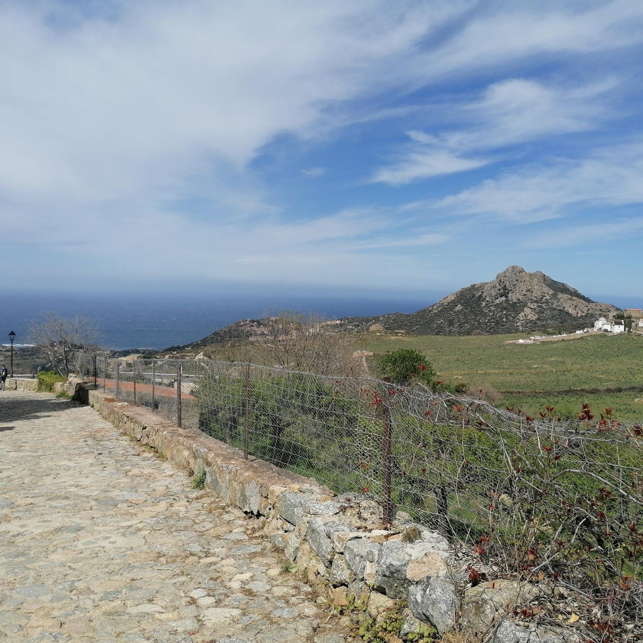
The church, located in the middle of a cemetery, was built in the 11th century in the Pisan-Romanesque style. It is considered one of the most beautiful churches in Corsica. It was recently extensively renovated with funds from the EU and the Corsican regional association.
0
0

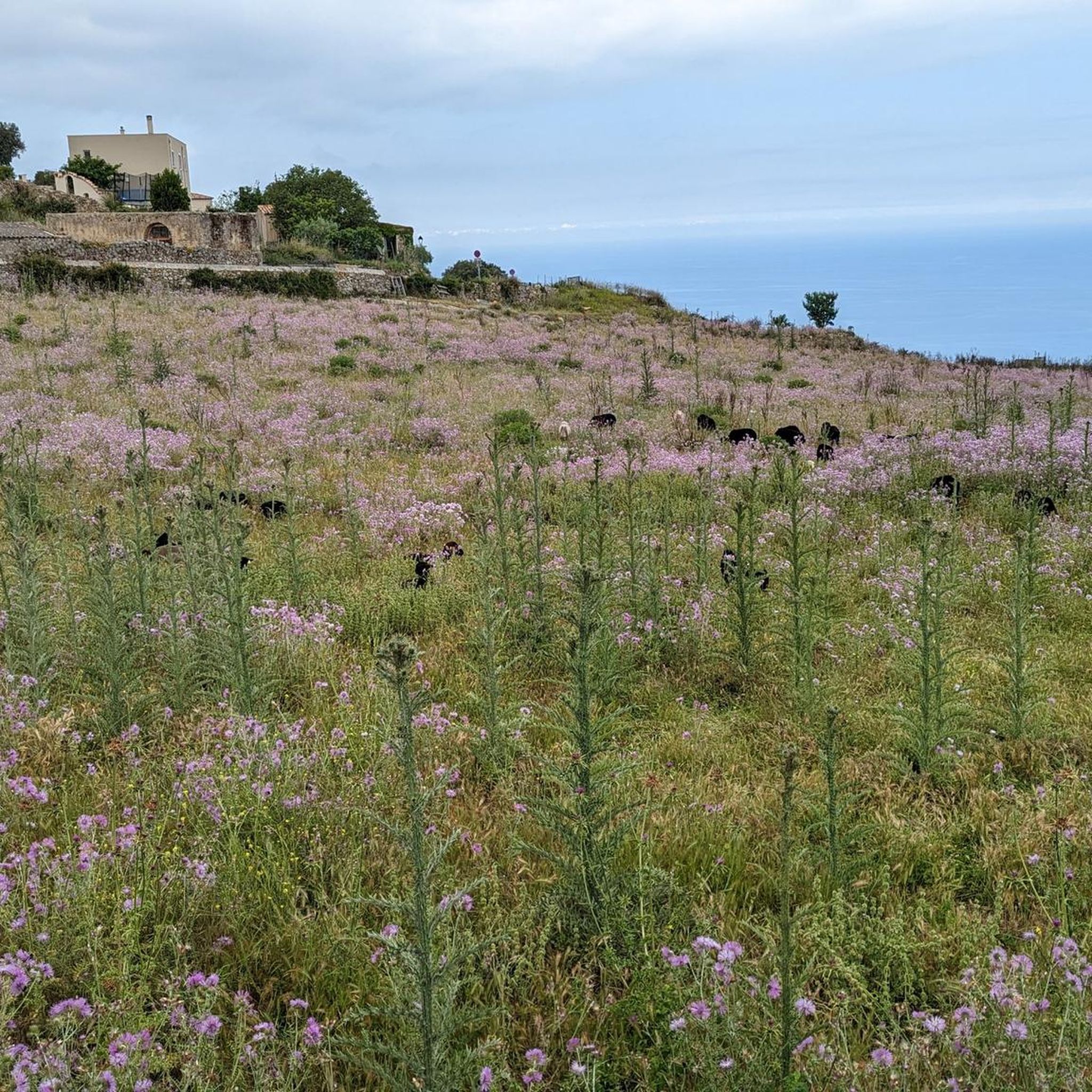
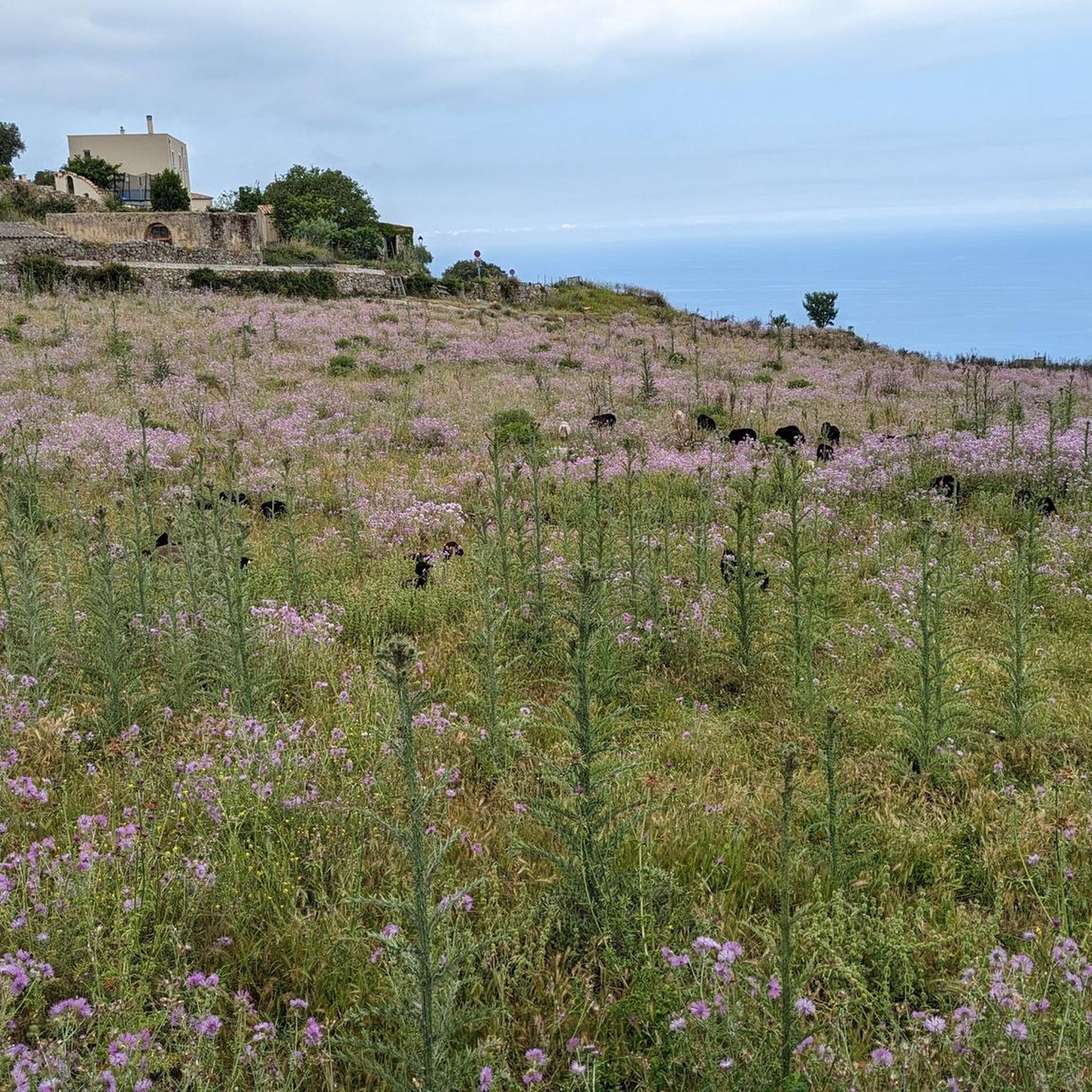
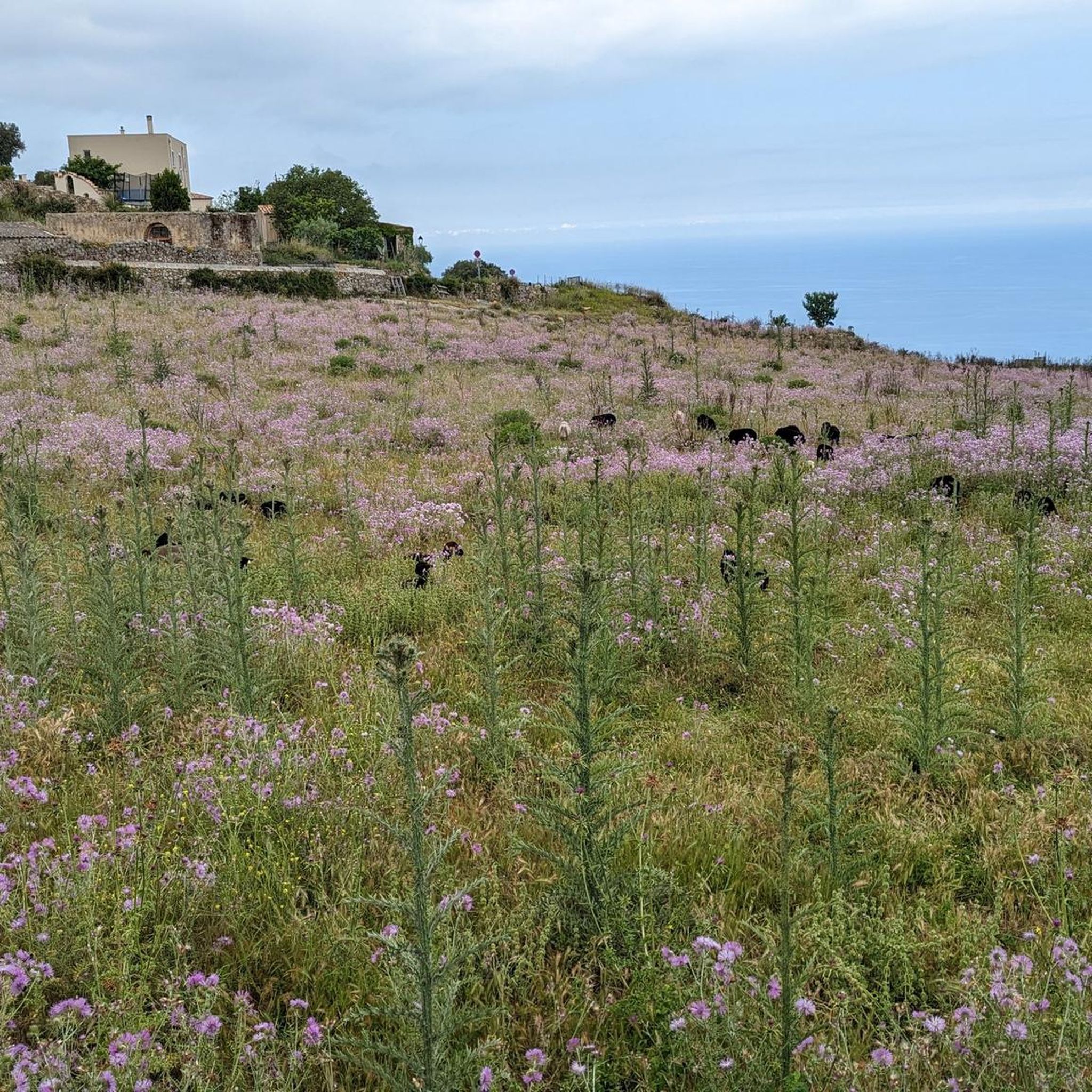
One of the most beautiful villages in Balagne, alleys, covered passages and houses blend into the rock. The view of the plain and the sea is splendid.
1
0

The pass itself has a provisional pass sign at the junction to a fenced antenna system, but the D 151 towards Montegrosso as a mountain road climbs by about 15 meters in altitude over the next undulating 800 meters.
1
0
For those who are planning a detour to the Forêt Domaniale de Bonifatu or who are thinking of driving past Calvi and heading southwest over the Col de Marsolino, it even represents a shortcut via a beautiful hillside road. Which brings us to the most important point: the most beautiful panorama of the bay of Calvi and the ridge towards Monte Cinto is probably from the road over the Col de Salvi. This means that on the D 151 leading over the pass, despite the very moderate traffic volume, you may well come across a coach that is too big for the road, which is mostly only one and a half lanes wide.
1
1
The Col de Salvi is a quiet, very worthwhile connection option for racing cyclists who are heading towards Calvi from the (north)east via the Col de San Colombano or the Bocca di a Battaglia.
1
0
The former fishing village was expanded into a trading port with city fortifications by Pascal Paoli in 1759 during the Corsican Republic in order to have a Corsican port opposite Calvi, which was still Genoese at the time. The late founding of the town is still clearly visible due to the division of the town area into regular street squares. The official language was Italian until 1848.
1
1
The region has been inhabited since the 5th to 3rd millennium BC. Around 1000 BC, the town of Agila existed there, which was dependent on the city of Tyros (Phoenicia). The Romans maintained a base called Rubico Rocega at this location during their rule over Corsica until the 4th century AD. After that, the current urban area was almost uninhabited except for a few fishermen and farmers due to its proximity to the coast and the resulting vulnerability to enemy attacks. It was not until the 16th century that residents of the nearby town of Santa-Reparata-di-Balagna opened the first shops near the coast for trade with neighboring communities by sea.
1
0
L’Île-Rousse got its name from the red porphyry rocks in front of the harbor entrance – the Île de la Pietra. This island is now connected to the island of Corsica by a causeway.
1
0
Frequently Asked Questions
How many touring cycling routes are available in Sant'Antonino?
Sant'Antonino offers a wide selection of touring cycling routes, with over 100 options available. These routes cater to various skill levels, including 10 easy, 38 moderate, and 54 difficult trails.
What is the best time of year for touring cycling in Sant'Antonino?
While cycling is possible throughout much of the year, August and September are particularly popular months for touring cyclists in regions like Lombardy, which shares similar climatic characteristics with Sant'Antonino. The guide's routes often feature coastal views and hilly terrain, suggesting pleasant conditions outside of peak summer heat or winter cold.
Are there any family-friendly or beginner touring cycling routes in Sant'Antonino?
Yes, Sant'Antonino offers 10 easy touring cycling routes suitable for beginners or families looking for a more relaxed experience. These routes provide an opportunity to enjoy the region's coastal views and traditional villages without overly challenging ascents.
What kind of terrain can I expect on touring cycling routes around Sant'Antonino?
The touring cycling routes around Sant'Antonino are characterized by diverse terrain, including coastal paths, traditional villages, and significant hilly sections. You can expect a mix of challenging ascents and scenic descents, often providing stunning vistas of the sea and surrounding mountains.
Are there any circular touring cycling routes available?
Yes, many touring cycling routes in Sant'Antonino are designed as loops. For example, you can explore the St. Antoninus – Corbara Village loop from Aregno, the Village with mountain views – Speloncato Village loop from Aregno, or the View of La Pietra Island – Beach and sea view loop from Aregno, all offering varied experiences.
What are some challenging routes for experienced touring cyclists?
Experienced touring cyclists will find plenty of challenging options, with 54 difficult routes available. A notable difficult route is the Village with mountain views – Speloncato Village loop from Aregno, which covers 37.6 miles (60.5 km) and features extensive mountain views and significant elevation gain.
What natural features or landmarks can I see along the touring cycling routes?
Along the routes, you can encounter various natural features and landmarks. Highlights include the View of La Pietra Island, the Ancient Holm Oak of Balagne, and the La Punta Spano. The region also offers numerous viewpoints, such as the View from Capu d'Occi, providing stunning panoramas.
Are there any historical or cultural sites accessible by touring bike?
Yes, the region around Sant'Antonino is rich in cultural heritage. Many routes pass through traditional villages, offering glimpses into local life. The broader area of Sant'Antonino in Italy is also connected to significant historical paths like the Way of Saint Anthony, which features ancient villages and sanctuaries, allowing for cultural immersion during your ride.
How do other cyclists rate the touring routes in Sant'Antonino?
The touring cycling routes in Sant'Antonino are highly regarded by the komoot community, boasting an average rating of 4.5 stars from over 500 reviews. Cyclists often praise the diverse terrain, coastal views, and the opportunity to explore traditional villages.
What are the typical distances of touring cycling routes in the area?
The distances of touring cycling routes in Sant'Antonino vary significantly. You can find shorter routes, like the View of Corbara – View of Giunchetu Bay loop from Aregno at 13.2 miles (21.3 km), up to longer, more challenging rides such as the Village with mountain views – Speloncato Village loop from Aregno, which is 37.6 miles (60.5 km).
Are there specific viewpoints worth visiting along the routes?
Absolutely. The region is known for its scenic viewpoints. The View of La Pietra Island – Beach and sea view loop from Aregno offers stunning coastal vistas. Other notable viewpoints include the View from Capu d'Occi and the views of Calvi Bay, as seen on the St. Antoninus – View of Calvi Bay loop from Aregno.
Can I find routes that offer both mountain and sea views?
Yes, Sant'Antonino's unique geography allows for routes that combine both mountain and sea views. Many trails traverse hilly terrain, providing elevated perspectives of the coastline and the Mediterranean Sea, alongside views of the inland mountains and traditional villages.
Most popular routes around Sant'Antonino
Most popular attractions around Sant'Antonino

Get inspired with the komoot mobile app


Explore more
Browse the best Cycling routes in other regions.
