The best walks and hikes around Saint-Appolinaire
4.6
(272)
2,169
hikers
149
hikes
Hiking around Saint-Appolinaire, located in the Hautes-Alpes region of France, offers diverse landscapes for outdoor enthusiasts. The area features high-altitude glacial lakes, including the preserved Lake Saint-Apollinaire, and panoramic viewpoints overlooking Lake Serre-Ponçon and the Durance Valley. Dramatic limestone formations, such as the Aiguilles de Chabrières, characterize the terrain, alongside varied environments of dense forests, mountain pastures, and rocky sections. This region provides a wide network of hiking trails, with many routes extending into the nearby Écrins National Park.
Best…
Last updated: July 11, 2026
4.3
(4)
48
hikers
21.7km
06:41
770m
770m
Hard hike. Very good fitness required. Easily-accessible paths. Suitable for all skill levels.
5.0
(2)
15
hikers
15.4km
04:34
450m
450m
Moderate hike. Good fitness required. Easily-accessible paths. Suitable for all skill levels.

Sign up for free
4.8
(4)
12
hikers
13.7km
04:07
430m
430m
Moderate hike. Good fitness required. Easily-accessible paths. Suitable for all skill levels.
5.0
(2)
13
hikers
26.3km
07:43
730m
730m
Hard hike. Very good fitness required. Easily-accessible paths. Suitable for all skill levels.
4.0
(2)
10
hikers
16.1km
04:48
510m
510m
Moderate hike. Good fitness required. Easily-accessible paths. Suitable for all skill levels.
Get access to more routes and recommendations from other explorers.
Sign up for free
Already have an account?
Our route recommendations are based on thousands of hikes, rides, and runs completed by other people on komoot.
Start today with a free account
Your next adventure awaits.
Login or Signup
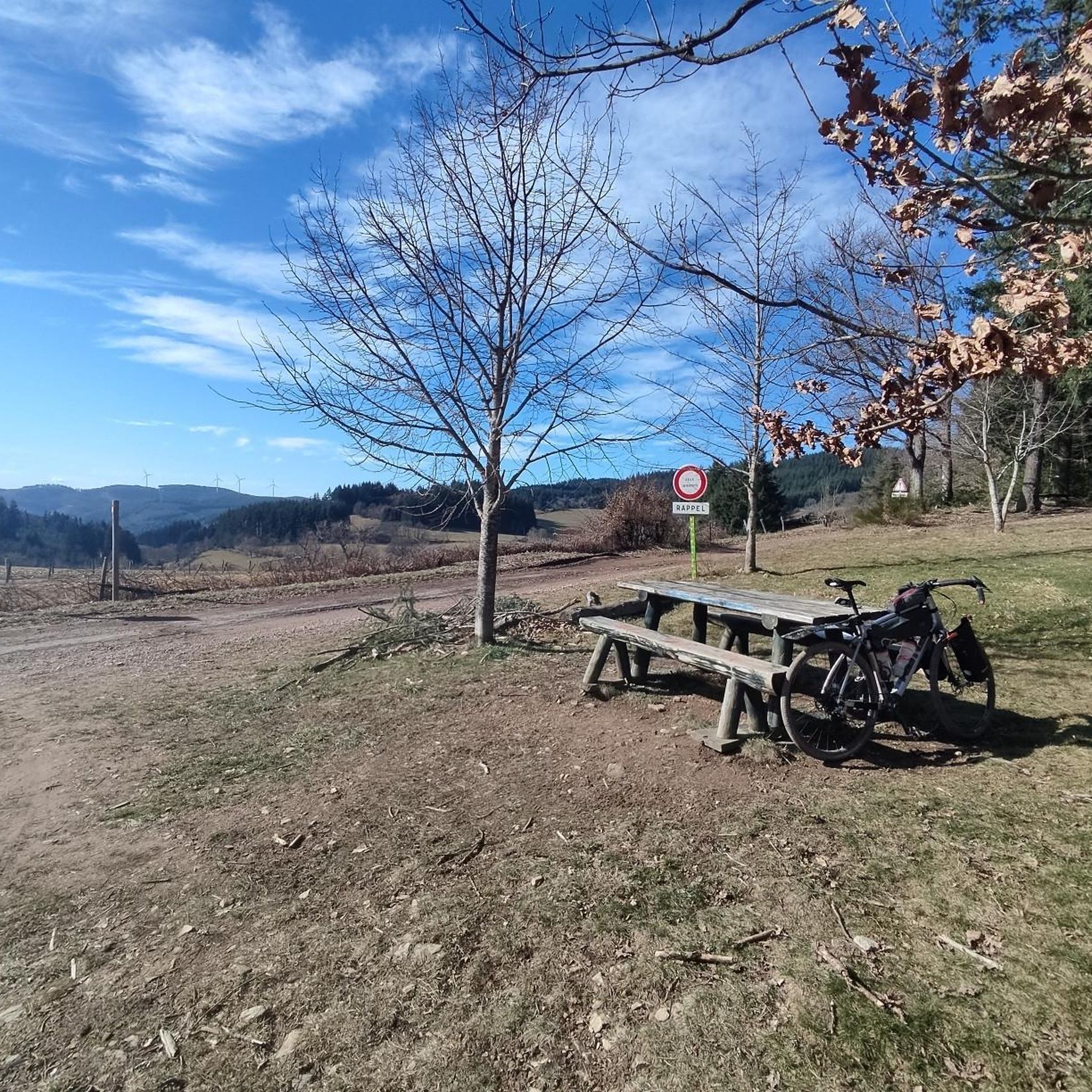
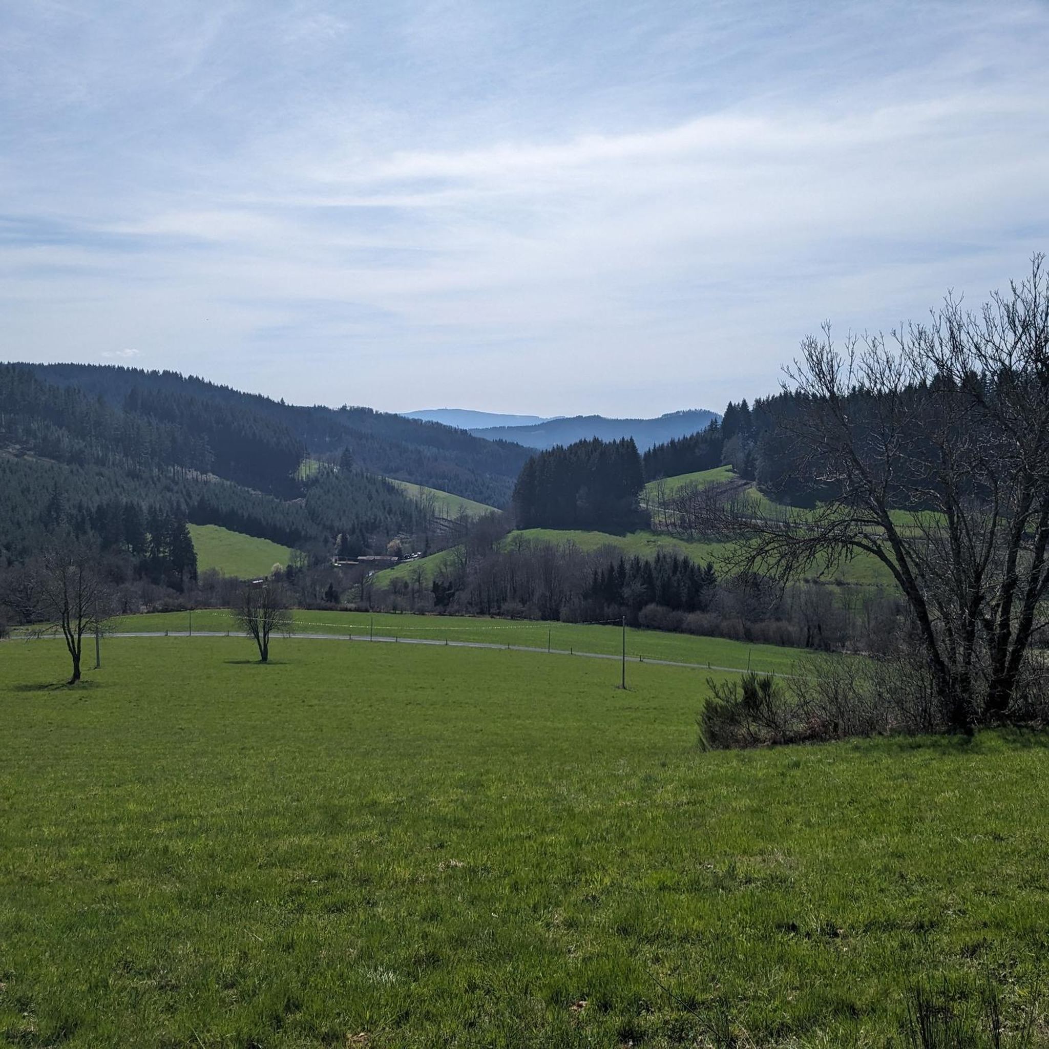
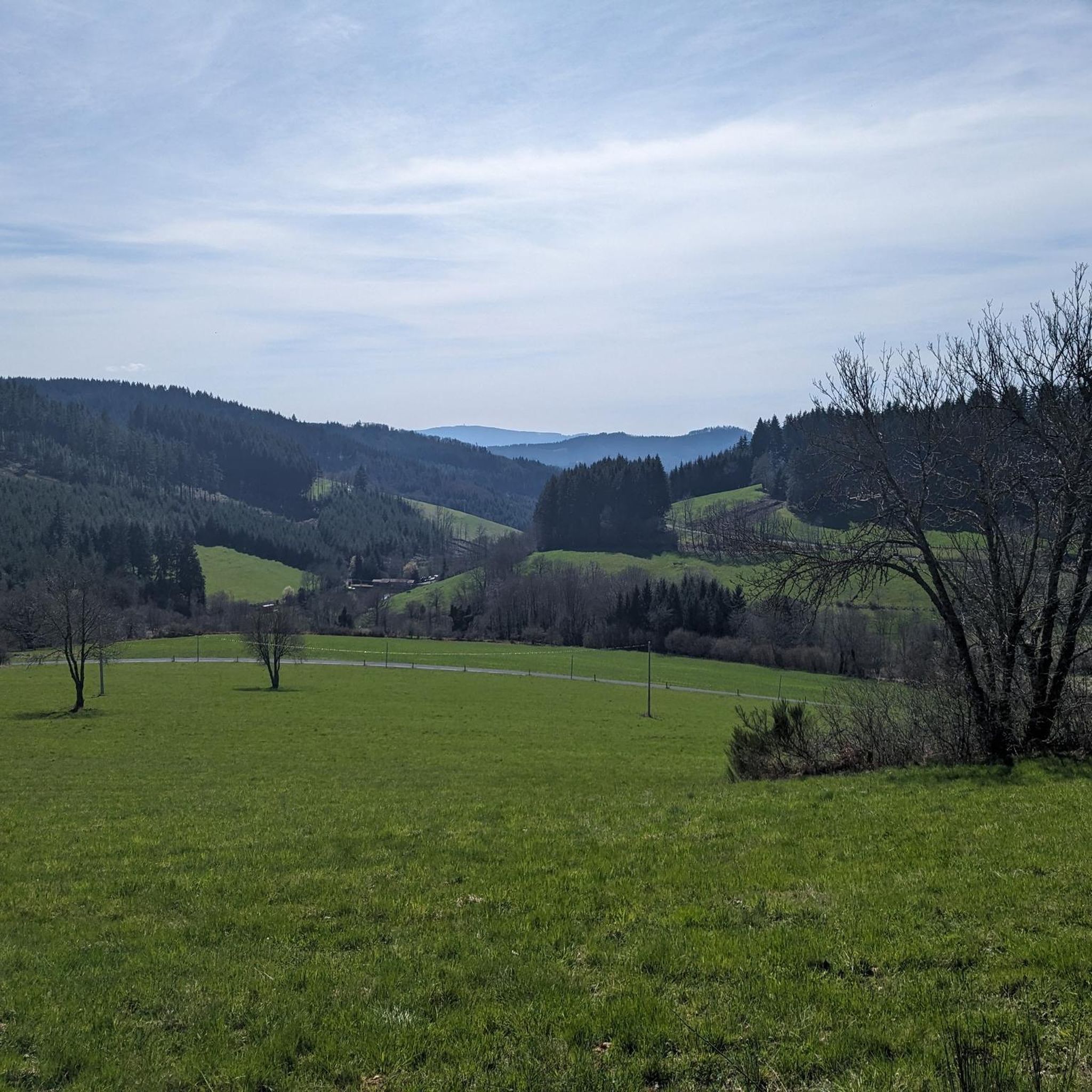

Tips from the Community


beautiful view of the Alps when it is clear
0
0

Several beautiful roads and paths starting from this pass
0
0

Magnificent tour of the lake, with restaurants and activities (tree climbing, paintball, boating...), 2 atmospheres with the dike side and the beach side, and the largest organic swimming pool in Europe. A must-have in Beaujolais Vert.
0
0

Pretty lake with a huge natural swimming pool, an adventure park and plenty of picnic space.
1
0

The Beaujolais Vert wind farm is the 1st wind farm in the Rhône department. It is made up of four wind turbines and can meet the annual electricity consumption of 13,000 people. Four years of study were necessary to build this park with respect for the environment.
0
0
This chapel was offered to the municipality of Ronno by Jean-Baptiste Dumas, a threshing contractor around 1850. It was following an accident with his threshing machine that he undertook to build a chapel. It was inaugurated on August 15, 1988 after restoration.
0
0
Frequently Asked Questions
How many hiking trails are available in Saint-Appolinaire?
Saint-Appolinaire offers a wide network of over 140 hiking trails. These routes traverse diverse landscapes, from high-altitude glacial lakes to dramatic limestone formations and expansive mountain pastures, catering to various skill levels.
What kind of terrain can I expect on hikes around Saint-Appolinaire?
The terrain around Saint-Appolinaire is notably varied. You can expect to hike through dense forests, across open mountain pastures, and over rocky sections, including dramatic limestone formations like the Aiguilles de Chabrières. Many trails also feature stunning high-altitude glacial lakes.
Are there family-friendly hiking options in Saint-Appolinaire?
Yes, Saint-Appolinaire offers a good selection of easier walks suitable for families. While specific routes are not detailed here, the region has 37 easy trails that are generally shorter and have less elevation gain, making them ideal for a leisurely family outing.
Can I hike with my dog in Saint-Appolinaire?
Many trails in the Saint-Appolinaire region are dog-friendly, allowing you to explore the beautiful landscapes with your canine companion. However, if you plan to hike within the nearby Écrins National Park, it's essential to check specific regulations regarding dogs, as restrictions may apply in certain zones to protect wildlife.
Are there circular hiking routes available in Saint-Appolinaire?
Yes, many of the hiking trails in Saint-Appolinaire are designed as circular routes, allowing you to start and end your hike at the same point. For example, the Col de la Croix de l'Orme – Crêt de Munet loop from Saint-Appolinaire is a moderate 13.7 km circular path.
What natural landmarks or viewpoints can I see along the trails?
Hikers are rewarded with numerous natural landmarks and panoramic viewpoints. You can expect breathtaking views of the vast Lake Serre-Ponçon and the Durance Valley. The region is also home to picturesque high-altitude glacial lakes, such as Lake Saint-Apollinaire, and dramatic limestone formations like the Aiguilles de Chabrières. You might also encounter highlights like Lac des Sapins.
When is the best time of year to hike in Saint-Appolinaire?
The best time for hiking in Saint-Appolinaire is generally from late spring to early autumn (May to October), when the weather is mild and the trails are clear of snow. The GRP® Balcons de Serre-Ponçon, for instance, offers a long-distance option that can be enjoyed almost year-round, but higher altitude routes are best in summer.
Is parking available at trailheads in Saint-Appolinaire?
While specific parking information for every trailhead is not available, many popular hiking areas and starting points in Saint-Appolinaire, especially those leading to well-known lakes or viewpoints, typically offer designated parking facilities. It's advisable to check local signage upon arrival.
What are the different difficulty levels for hikes in Saint-Appolinaire?
Saint-Appolinaire offers hikes across all difficulty levels. You'll find 37 easy routes for leisurely strolls, 84 moderate trails for a balanced challenge, and 22 difficult excursions for experienced hikers seeking more demanding terrain and significant elevation changes. An example of a difficult route is the Pine Lake – View of Lac des Sapins loop from Saint-Just-d'Avray.
What makes hiking in Saint-Appolinaire unique?
Hiking in Saint-Appolinaire is unique due to its stunning combination of high-altitude glacial lakes, such as the emerald-hued Lake Saint-Apollinaire, and the dramatic limestone towers of the Aiguilles de Chabrières. The panoramic views over Lake Serre-Ponçon and the Durance Valley, coupled with the proximity to Écrins National Park, create a truly diverse and memorable outdoor experience.
What do other hikers say about the trails in Saint-Appolinaire?
The trails in Saint-Appolinaire are highly rated by the komoot community, with an average score of 4.6 stars from over 200 reviews. Hikers often praise the varied terrain, the stunning views of Lake Serre-Ponçon, and the peaceful atmosphere of the glacial lakes. Over 1,700 hikers have used komoot to explore the region's diverse landscapes.
Are there any longer, more challenging hikes for experienced trekkers?
Yes, for experienced trekkers, Saint-Appolinaire offers several longer and more challenging routes. For instance, the Pine Lake – View of Lac des Sapins loop from Saint-Just-d'Avray is a difficult 21.6 km trail with significant elevation gain, taking nearly 6 hours 38 minutes to complete. Another challenging option is the Beaujolais Vert Wind Farm – Col de la Croix de l'Orme loop from Valsonne, spanning over 26 km.
Can I find trails that offer views of Lake Serre-Ponçon?
Absolutely. Many trails in the Saint-Appolinaire area provide spectacular views of Lake Serre-Ponçon. The region is known for its panoramic viewpoints overlooking the lake and the surrounding Durance Valley. The Saint-Apollinaire Belvedere, for example, offers expansive views, and several hiking routes incorporate these scenic vistas.
Most popular attractions around Saint-Appolinaire

Get inspired with the komoot mobile app


Explore more
Browse the best Hikes in other regions.
