The best running trails around Saint-Appolinaire
4.4
(64)
3,326
runners
136
runs
Jogging routes around Saint-Appolinaire traverse a region characterized by its mountainous terrain, including the Morgon and Boscodon massifs, and the prominent Lake Serre-Ponçon. The village, situated at an altitude of 1115 meters, provides access to diverse landscapes for running, from forest paths bordered by fir and larch trees to open mountain pastures. Runners can expect varied terrain, including both gentle paths and more demanding routes with significant elevation changes.
Best jogging routes around Saint-Appolinaire
- The most popular jogging route is…
Last updated: July 4, 2026
8
runners
12.9km
01:36
410m
410m
Hard run. Very good fitness required. Mostly paved surfaces. Suitable for all skill levels.
8
runners
25.9km
03:18
950m
960m
Hard run. Very good fitness required. Mostly paved surfaces. Suitable for all skill levels.

Sign up for free
5.0
(1)
5
runners
10.9km
01:21
410m
420m
Hard run. Very good fitness required. Mostly paved surfaces. Suitable for all skill levels.
5
runners
19.8km
02:47
930m
930m
Hard run. Very good fitness required. Mostly paved surfaces. Suitable for all skill levels.
5
runners
13.5km
01:39
420m
420m
Hard run. Very good fitness required. Mostly paved surfaces. Suitable for all skill levels.
Get access to more routes and recommendations from other explorers.
Sign up for free
Already have an account?
Our route recommendations are based on thousands of hikes, rides, and runs completed by other people on komoot.
Start today with a free account
Your next adventure awaits.
Login or Signup

Tips from the Community

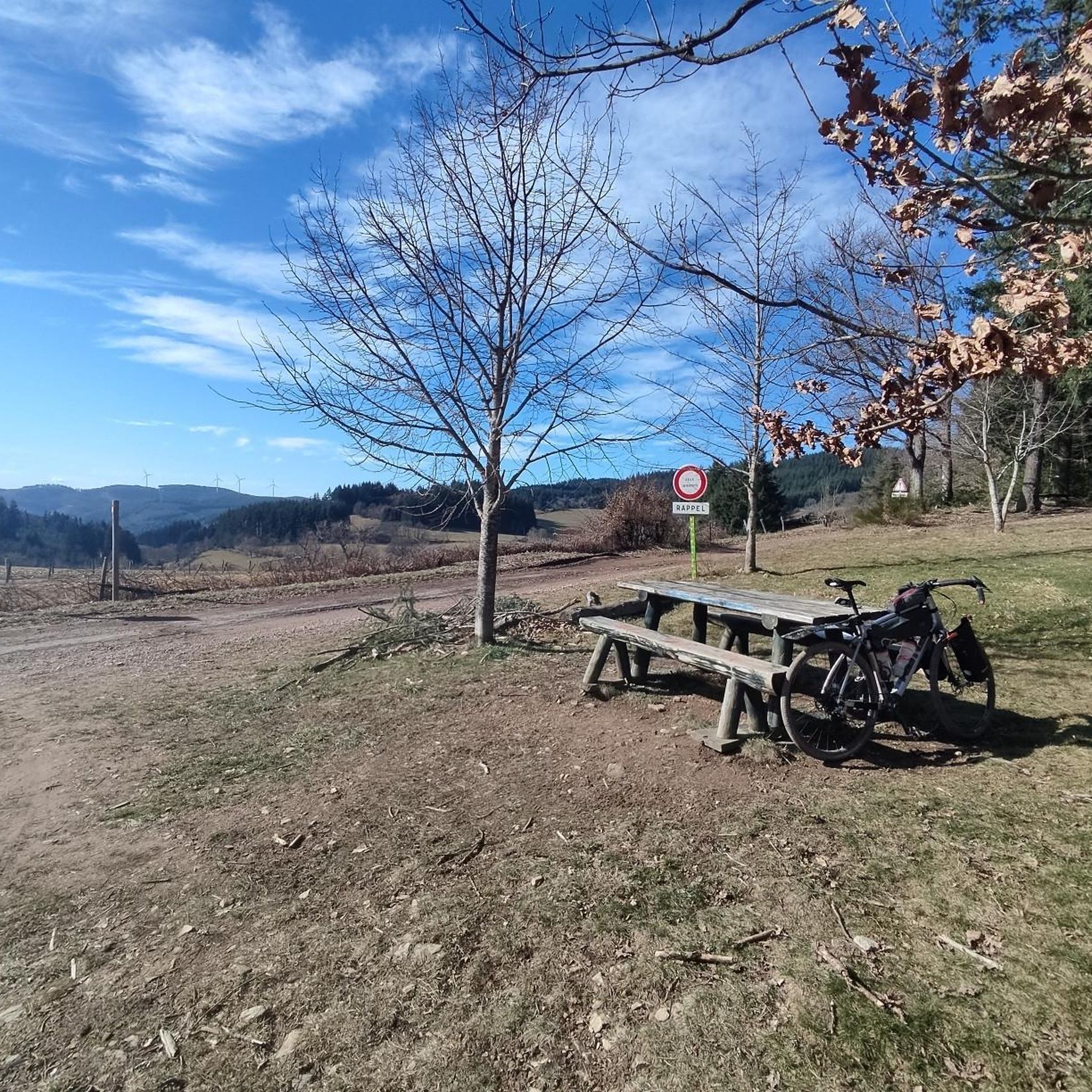
Several beautiful roads and paths starting from this pass
0
0

The Beaujolais Vert wind farm is the 1st wind farm in the Rhône department. It is made up of four wind turbines and can meet the annual electricity consumption of 13,000 people. Four years of study were necessary to build this park with respect for the environment.
0
0

Nice pass to do from St Just d'Avray in the forest, without significant percentage and quite short. We also climb on the St Appo side with beautiful views of the Pilon wind turbines. It can also be reached from the Col de la Croix Thel.
1
0
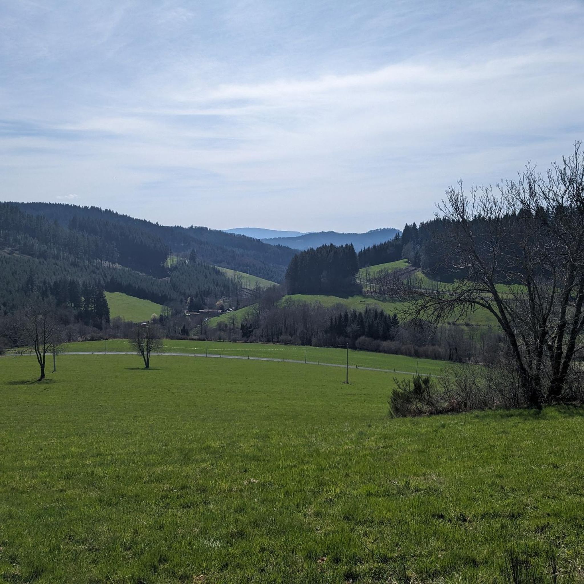
Pass which allows you to go from St Appolinaire to St Just d'Avray without difficult percentages. Very nice road that goes to the Col de la Croix de Thel. The view at the top is very beautiful on the wind turbines of the Col du Pilon. The road that connects St Appo and the Col du Pilon offers a magnificent view and an impression of altitude rarely found in Beaujolais.
0
0
The size of the wind turbines is truly impressive! The paths around the wind turbines are super gravel but there are many mountain bike paths in the area. It can be easily reached from the Col du Pilon.
0
0
Frequently Asked Questions
How many running routes are available in Saint-Apollinaire?
Komoot offers nearly 130 diverse running routes around Saint-Apollinaire. These include a mix of easy, moderate, and difficult trails, catering to various fitness levels and preferences.
What kind of terrain can I expect on the running trails in Saint-Apollinaire?
The terrain in Saint-Apollinaire is quite varied, ranging from gentle paths through forests of fir and larch trees to more demanding routes with significant elevation changes across mountain pastures and rocky areas. You'll encounter stunning views of Lake Serre-Ponçon and the surrounding massifs.
Are there easy running routes suitable for beginners or families?
Yes, Saint-Apollinaire offers several easy running routes. For instance, the Lake of the Fir Trees loop from Meyré is an easy 3.9 km (2.4 miles) path with minimal elevation gain, perfect for a relaxed run or a family outing.
Can I find challenging running routes for experienced runners?
Absolutely. For those seeking a challenge, Saint-Apollinaire has many difficult routes. The Pine Lake – Fir Lake loop from Cublize is a demanding 20.9 km (13.0 miles) trail with over 740 meters of elevation gain, offering a rigorous workout amidst beautiful scenery.
Are there any circular running paths in the area?
Many of the running routes in Saint-Apollinaire are circular, allowing you to start and finish at the same point. An example is the Lac des Sapins – Fir Lake loop from Cublize, a moderate 6.8 km (4.2 miles) trail that circles the lake and passes through forested areas.
What do other runners say about the trails in Saint-Apollinaire?
The running routes in Saint-Apollinaire are highly rated by the komoot community, with an average score of 4.4 stars from over 70 reviews. Runners frequently praise the diverse landscapes, the tranquility of the natural environment, and the breathtaking views of Lake Serre-Ponçon and the mountains.
Are there running routes that offer scenic views or pass by notable landmarks?
Yes, many routes provide spectacular views. The village itself, perched at 1115 meters, offers panoramas of Lake Serre-Ponçon. You can also find trails near the Lac des Sapins, a preserved glacial lake, or routes that offer glimpses of the distinctive Aiguilles de Chabrières. The Belvedere near the village church also provides a stunning vantage point.
Is Saint-Apollinaire a good place for dog-friendly running?
While specific dog-friendly designations vary by trail, the natural environment of Saint-Apollinaire, with its extensive network of forest paths and mountain pastures, generally welcomes dogs. It's always advisable to keep your dog on a leash and check local regulations for specific areas, especially within protected zones like the nearby Écrins National Park.
What is the best time of year to go running in Saint-Apollinaire?
Saint-Apollinaire benefits from significant sunshine, making it enjoyable for running across many seasons. Spring and autumn offer pleasant temperatures and vibrant scenery. Summer is also popular, especially for higher-altitude trails, while winter can provide unique opportunities for snowshoe running, though some trails may be less accessible.
Are there running routes that pass by lakes or water features?
Absolutely. The region is known for its beautiful lakes. The Lake of the Fir Trees – Pretty village loop from Les Granges is a moderate 11.2 km (7.0 miles) route that takes you past the serene Lac des Sapins, offering picturesque lakeside running.
Can I find routes with parking available at the trailhead?
Many of the running routes around Saint-Apollinaire have accessible starting points with parking options, particularly those originating from villages or popular recreational areas. It's recommended to check the specific route details on komoot for parking information before you head out.
Are there any routes that combine running with exploring local villages?
Yes, some routes integrate the natural landscape with charming local villages. The Lake of the Fir Trees – Pretty village loop from Meyré is a challenging 41.0 km (25.5 miles) path that combines extensive lake views with passages through local villages, providing a rich cultural and scenic experience.
Most popular attractions around Saint-Appolinaire

Get inspired with the komoot mobile app


Explore more
Browse the best Running Trails & Routes in other regions.
