Top 6 Mountain Passes around La Salette-Fallavaux
Best mountain passes around La Salette-Fallavaux are located in a mountain community within the southeastern French Alps. This area provides access to several notable mountain passes for hikers and nature enthusiasts. The surrounding peaks and passes offer vistas and trails of varying difficulty. The region is also known for the Sanctuary of Notre-Dame de La Salette.
Best mountain passes around La Salette-Fallavaux
- The most popular mountain passes is Parquetout Pass, a mountain pass where the climb via St Michel…
Last updated: July 10, 2026
Plan Collet Pass
Highlight • Mountain Pass
Departure in the Undergrowth by a forest track, it climbs well up to the …
Translated by Google •
Tip by

Parquetout Pass
Highlight • Mountain Pass
Translated by Google •
Tip by

Sign up now to discover places like this
Get recommendations on the best single tracks, peaks, & plenty of other exciting outdoor places.
Sign up for free
Col de l'Holme
Highlight • Mountain Pass
Translated by Google •
Tip by

Vaurze Pass
Highlight • Mountain Pass
Translated by Google •
Tip by

Col de la Brèche Mountain Bike Trail
Highlight (Segment) • MTB Park
Translated by Google •
Tip by

Sign up for free to discover even more mountain passes around La Salette-Fallavaux.
Sign up for free
Already have an account?
Start today with a free account
Your next adventure awaits.
Login or Signup
Tips from the Community

It's an ideal starting point for the hike. There is a shelter to have a snack, and it's a few minutes from the Sainte-Luce farm. In spring it's a known spot for flowers and particularly daffodils.
0
0

Col can be VERY steep, especially from Entraigues. On the other side it is more lenient and accessible.
1
0

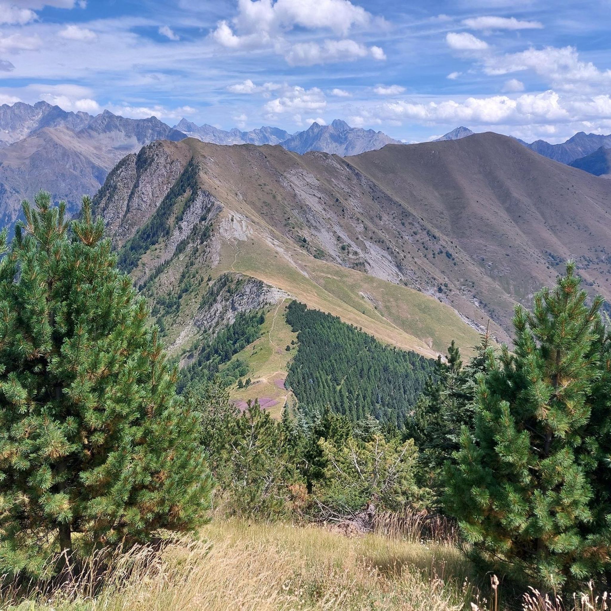
I added the SAMBY to avoid a round trip of the existing proposed hike in Visorando Departure in the Undergrowth by a forest track, it climbs well up to the Col du Plan Collet. on the left towards the CAVALE by the long ridge. on the right the SAMBY for the return by a path in the forest. nice view of the OBIOU, the triève, a superb view also of the summit of the Coiro in June, the flora is extraordinary the descent through the small valley all in bloom in JUNE really made you want to venture there I opted for a picnic at the edge of the small torrent using the ends of existing paths the path then is quite visible in the middle of the valley ps: as often by turning around from half of the valley we can clearly see the route when you reach the flat valley, you find old round walls and chamois the path is dotted from here on an old map to join the path of the climb continue the path skirting the hill and following the path sometimes clearly visible, sometimes it disappears some cairns still remain, I straightened them (the lilies of St Bruno dot the meadow) we join the path of the climb of the 1st stop we descend to the Col du Plan Collet
0
0

A really pleasant climb with an exceptional view of the surrounding mountains.
2
0

The Col de la Vaurze is an emblematic passage of the Écrins massif, it reveals at its summit, a unique panorama of the surrounding peaks.
0
0

This sturdy climb is on a wide gravel path with fairly thick stones. The route mainly runs through the forest, but you still regularly get to see very beautiful panoramas. This path takes you to the foot of the Chatèl.
2
0

Unfortunately, I couldn't enjoy the view at all because I was in the middle of a thunderstorm and the thunder drove me;)
0
0

The climb via St Michel is very regular (6% roughly). The road has a lot of gravel, which is not very annoying on the way up but which should make the descent rather tense ... From St Michel (a fountain is welcome) and for the last 2 km the slope is more pronounced. Very little shading on this side. On the other side, the road surface is not bad, the road well shaded but the% are violent and the narrow road is very winding. In short, a hassle to get off because we tend to pick up speed quickly ...
2
0
Frequently Asked Questions
What are some of the most popular mountain passes for hiking around La Salette-Fallavaux?
Visitors often enjoy the Plan Collet Pass for its views of the Obiou, Triève, and Coiro summits, and its extraordinary flora in June. The Vaurze Pass is also an emblematic passage of the Écrins massif, offering a unique panorama. For those seeking a challenge, the Hurtière Pass is part of a demanding 13.1 km loop from the Basilique Notre-Dame de la Salette.
Are there any family-friendly mountain passes or walks in the area?
Yes, the Saint-Julien Pass serves as the starting point for the 'path of the fathers,' a family-friendly walk. This loop is approximately 9 km long with an elevation difference of 560 m and allows visitors to explore the small hamlets in the valley.
What kind of natural features can I expect to see when visiting these mountain passes?
The mountain passes around La Salette-Fallavaux offer diverse natural beauty. At Plan Collet Pass, you can witness extraordinary flora, especially in June, and might even spot chamois. Many passes, like Vaurze Pass and Col des Faisses, provide stunning panoramic views of the surrounding peaks and massifs, including the summit of l'Obiou.
What is the best time of year to visit the mountain passes in La Salette-Fallavaux?
The region is particularly beautiful in June, when the flora in the small valleys, such as those around Plan Collet Pass, is extraordinary and in full bloom. Generally, late spring to early autumn offers the most favorable conditions for hiking and outdoor activities, avoiding winter snows and ensuring accessible trails.
Are there challenging mountain passes for experienced hikers?
Absolutely. The Hurtière Pass is part of a challenging 13.1 km loop that requires good fitness and alpine experience. Similarly, the Col de l'Eterpat (1,954 m) is incorporated into several hard hiking loops originating from the Basilique Notre-Dame de la Salette, including routes to Le Gargas (2,208 m) and Croix des Scouts.
Can I go mountain biking on any of the passes?
Yes, the Lière Pass (Col de Lière) is suitable for mountain biking and can be experienced as part of the Hurtière pass – Lière Pass loop. Additionally, the Col de la Brèche Mountain Bike Trail offers a sturdy climb on a wide gravel path with beautiful panoramas, though it is considered challenging.
What are some moderate hiking options around La Salette-Fallavaux?
For moderate hikes, consider the Col de l'Homme, which is incorporated into loops of around 9.5 to 12.1 km. These can be started from either La Salette-Fallavaux itself or the Basilique Notre-Dame de la Salette. The Col des Faisses also offers an intermediate trail with unrivalled views.
Are there any circular routes that combine multiple passes?
Yes, the Col de L'Holme and Parquetout Pass are part of a loop route that crosses the Colombier peak. This path offers beautiful views throughout and connects to other points like Col de Lière and the shelter of Clos de l'Alpe before returning to the starting point.
What kind of terrain can I expect on the mountain passes?
The terrain varies. Some passes, like Parquetout Pass, feature gravel roads with gradients up to 6%, which can be steep, especially from Entraigues. Others, like the Col de la Brèche Mountain Bike Trail, involve sturdy climbs on wide gravel paths through forests. Many trails are well-defined paths, but some, particularly in less-traveled areas, might be less visible or require some alpine experience.
What outdoor activities are available near the mountain passes of La Salette-Fallavaux?
Beyond hiking and mountain biking on the passes themselves, the region offers a variety of outdoor activities. You can find numerous running trails, including difficult loops like the 'View of Aiguille des Marmes – Le Désert in Valjouffrey loop'. For road cycling, there are challenging routes such as the 'Tour at the foot of the Grande Tête de l'Obiou'. Explore more options on the Hiking around La Salette-Fallavaux, Running Trails around La Salette-Fallavaux, and Road Cycling Routes around La Salette-Fallavaux guide pages.
Where can I find more information about the 'path of the fathers' near Saint-Julien Pass?
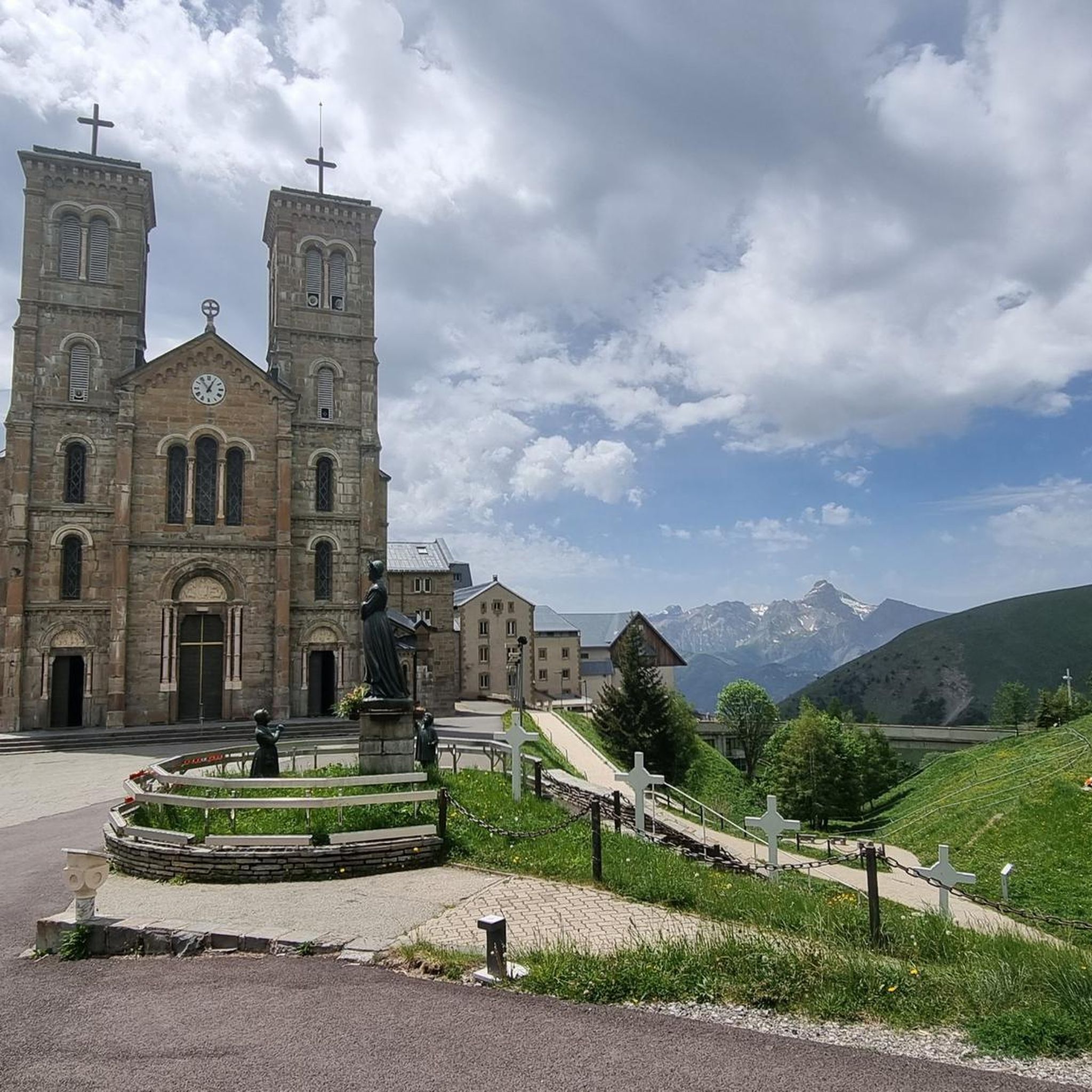
The 'path of the fathers' is a family-friendly walk that leads to the Sanctuary of Notre-Dame de La Salette. You can find more details about this specific itinerary, including its connection to the Sanctuary, on the Matheysine Tourisme website: matheysine-tourisme.com.
What makes the <a href="https://www.komoot.com/highlight/299157" target="_blank" rel="noopener">Parquetout Pass</a> notable?
The Parquetout Pass is known for its regular 6% gradient climb via St Michel, though the road has a lot of gravel. It can be very steep, especially when approached from Entraigues, making it a challenging but rewarding experience for cyclists and hikers alike.
Most popular routes around La Salette-Fallavaux
Most popular attractions around La Salette-Fallavaux

Get inspired with the komoot mobile app


Explore more
See even more epic mountain passes by checking out these guides around La Salette-Fallavaux:
