The best cycling routes around Réotier
4.4
(250)
5,605
riders
121
rides
Touring cycling routes around Réotier traverse a landscape characterized by mountainous terrain, river valleys, and proximity to the Queyras regional natural park. The region features significant elevation changes, with routes often following the Durance and Guil rivers through gorges and offering views of Lake Serre-Ponçon. This area provides a mix of challenging climbs and scenic paths suitable for various touring cycling experiences.
Best touring cycling routes around Réotier
- The most popular touring cycling route is Mont-Dauphin and hot springs of…
Last updated: July 1, 2026
4.6
(8)
23
riders
Easy bike ride. Great for any fitness level. Mostly paved surfaces. Suitable for all skill levels.
4.9
(13)
729
riders
85.1km
06:45
2,420m
2,420m
Hard bike ride. Very good fitness required. Mostly paved surfaces. Suitable for all skill levels.

Sign up for free
4.5
(61)
672
riders
Hard bike ride. Very good fitness required. Mostly paved surfaces. Suitable for all skill levels.
4.6
(5)
355
riders
92.1km
06:57
2,270m
2,270m
Hard bike ride. Very good fitness required. Mostly paved surfaces. Suitable for all skill levels.
5.0
(2)
98
riders
52.5km
03:37
910m
910m
Hard bike ride. Very good fitness required. You may need to push your bike for some segments of this route.
Get access to more routes and recommendations from other explorers.
Sign up for free
Already have an account?
Our route recommendations are based on thousands of hikes, rides, and runs completed by other people on komoot.
Start today with a free account
Your next adventure awaits.
Login or Signup

Tips from the Community

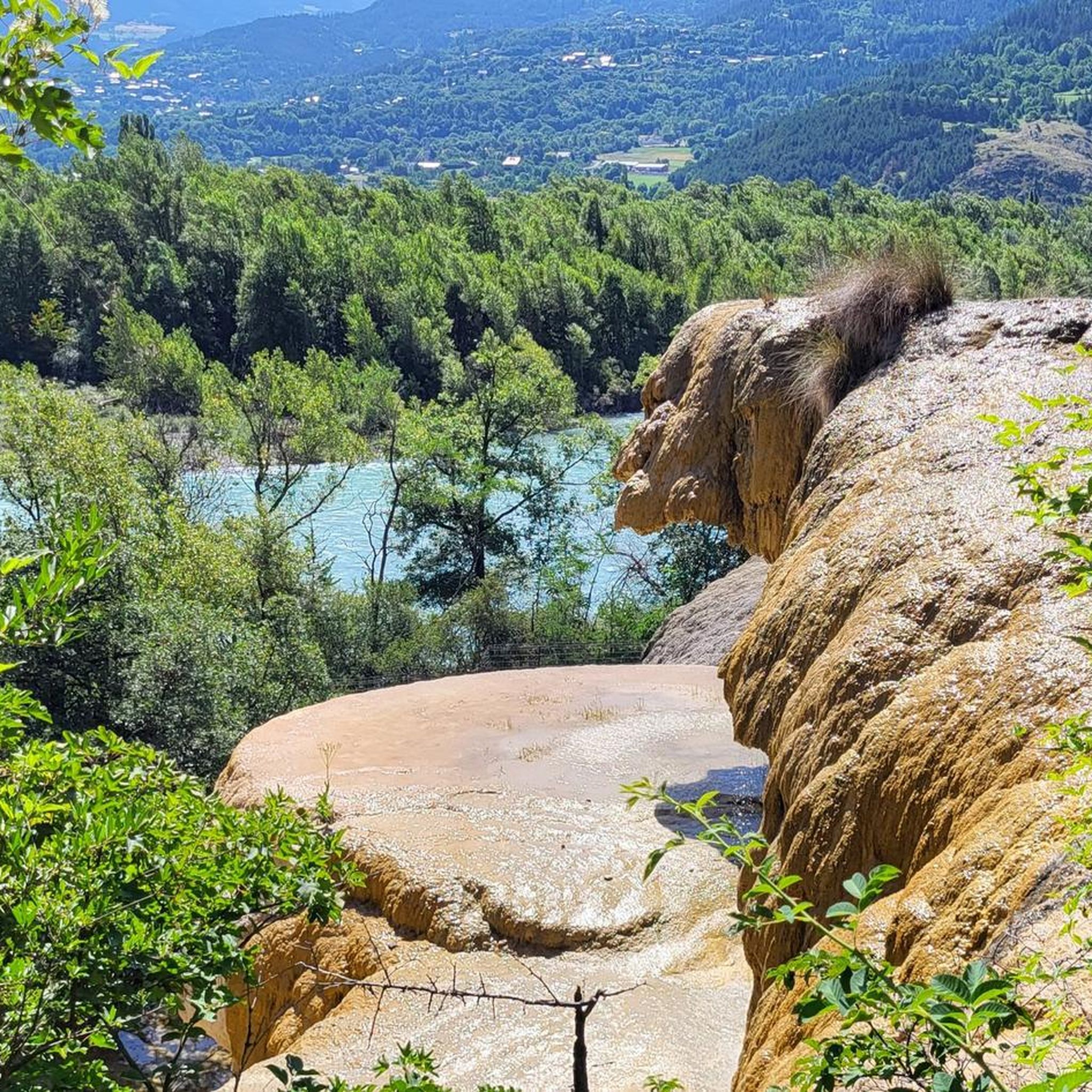
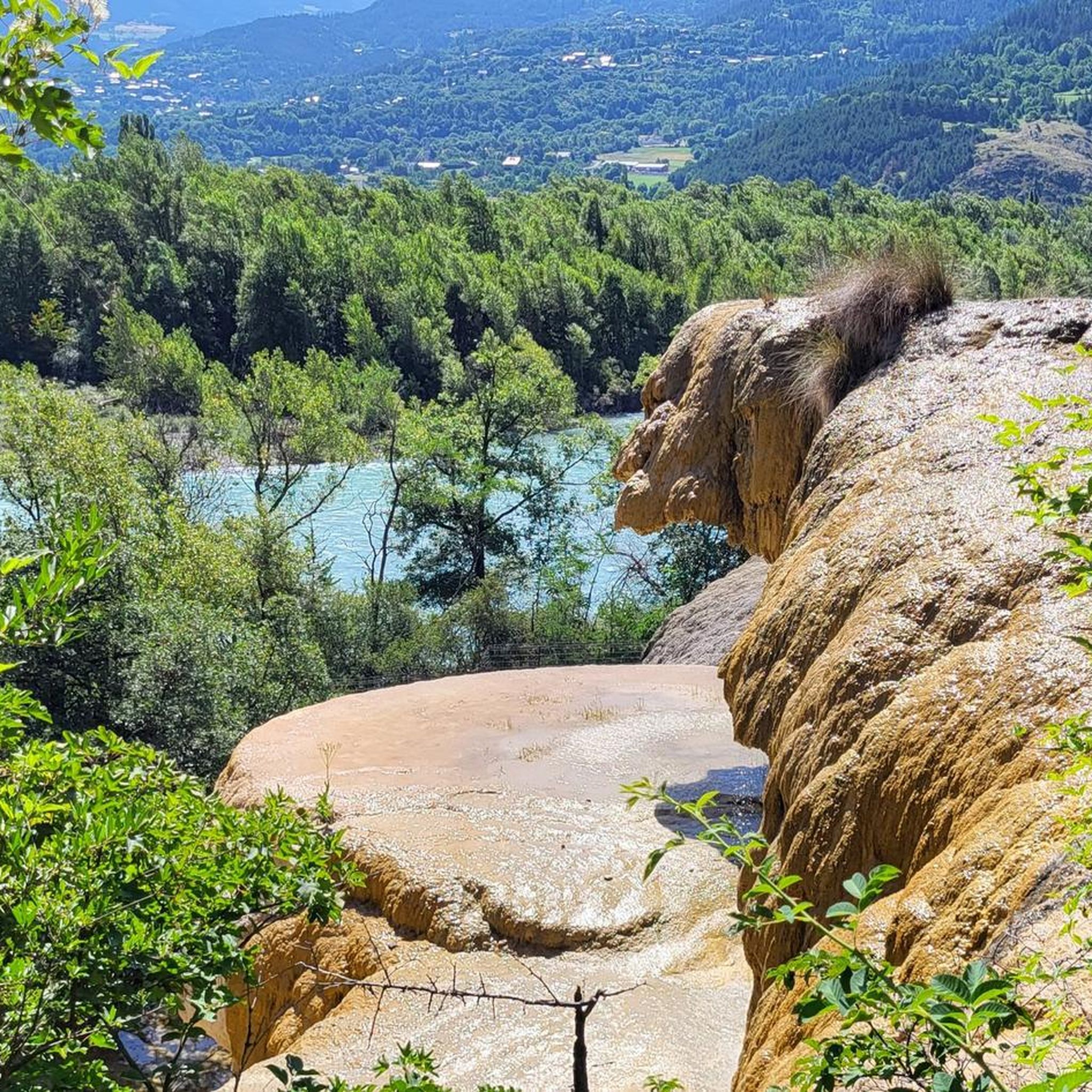
From here you can enjoy a breathtaking view, both towards Italy and France. Unfortunately, I caught it during roadwork and resurfacing, but I'd be curious to see it once it's finished.
0
0

Châteauroux, the capital of the Indre, was founded around 937 AD when Raoul the Fat, Lord of Déols, built Château Raoul on the left bank of the Indre, the name from which the city derives. Developing as a center of craftsmanship, it was contested during the Hundred Years' War, becoming an important capital in the 19th century with industrialization and the construction of the railway.
4
0

Colle dell'Agnello (2,744 meters above sea level - Col Agnel in French; Còl dl'Agnél in Piedmontese) is an Alpine pass in the Cottian Alps (Monviso Alps), as well as the second-highest road pass in Italy and the third-highest in Europe [N 2], preceded only by the Colle dell'Iseran [N 3] in the French Alps and the Stelvio Pass in the Ortler Alps. Located southwest of Monviso, between Pan di Zucchero and Punta dell'Alp, it connects Italy to France from the Piedmontese municipality of Pontechianale to the French municipality of Molines-en-Queyras in the Hautes-Alpes department [N 4]. It was inaugurated in 1973 by expanding a pre-existing dirt military road; It has been a transit point for several stages of the Giro d'Italia and the Tour de France and a popular destination for summer camps for amateur astronomers, offering one of the observation sites with the darkest, most pristine sky and accessible by normal vehicles.
0
0
Just before the summit is this beautiful refuge.
16
0


Small mountain village at the foot of the Colle dell'Ambe.
0
0

Excellent alternative to avoid the departmental road.
1
0

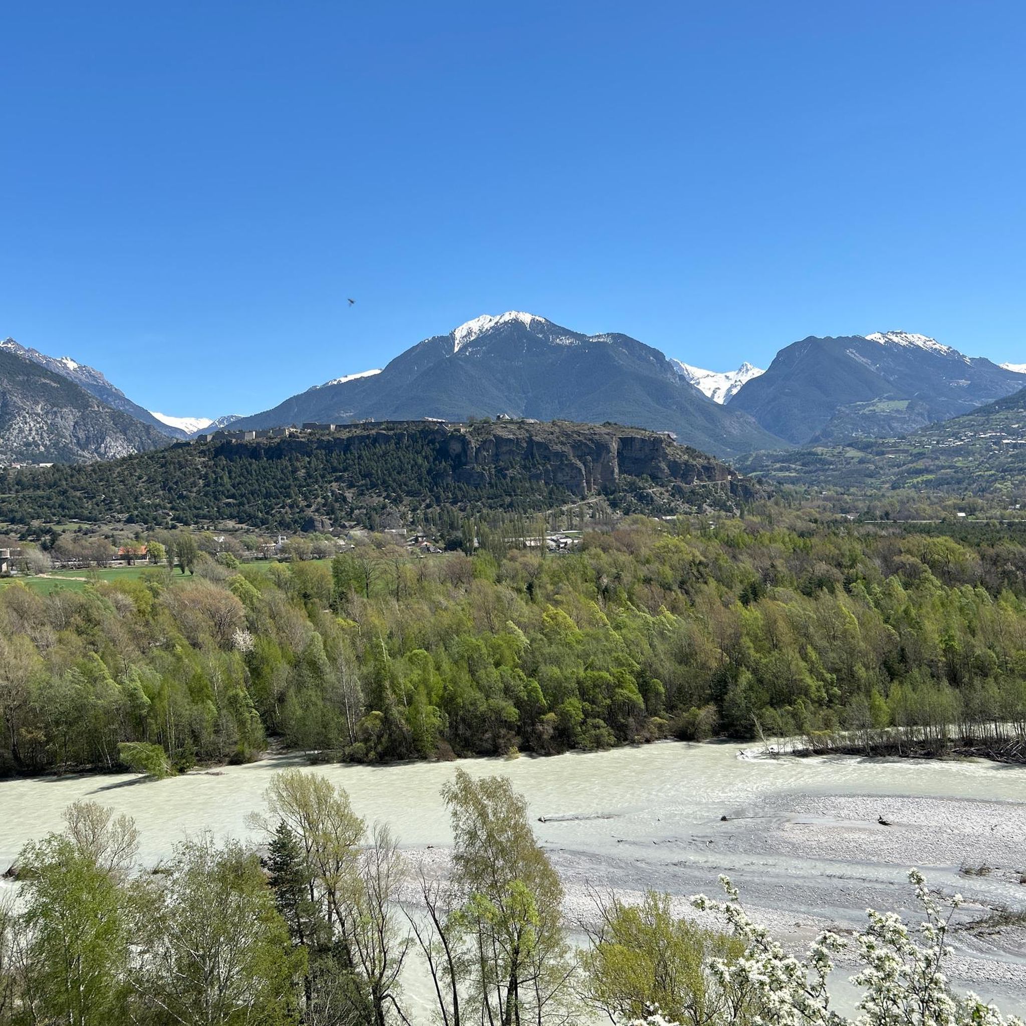
The Saint-Clément church, located in the Hautes-Alpes, is a remarkable historic site. Perched on a hill, it offers panoramic views of the Alpine region. This medieval castle, dating from the 13th century, bears witness to the architecture and life of the time. Its stone walls, towers and moats tell a fascinating story of the past.
0
0
Frequently Asked Questions
What kind of terrain can I expect on touring cycling routes around Réotier?
The Réotier area is characterized by its mountainous terrain and river valleys. You'll often find routes following the Durance and Guil rivers, navigating through gorges, and offering scenic views, including those of Lake Serre-Ponçon. Expect significant elevation changes on many routes, providing a diverse touring cycling experience.
Are there easy touring cycling routes suitable for beginners in Réotier?
Yes, Réotier offers several easy touring cycling routes. There are 12 easy routes available. A great option for a relaxed ride is the Mont-Dauphin and hot springs of the plan de Phazy - loop at the gates of the Queyras regional natural park, which is about 9.6 miles (15.5 km) long and takes less than an hour to complete.
How many touring cycling routes are there in Réotier, and what are their difficulty levels?
There are over 120 touring cycling routes around Réotier. These routes cater to various skill levels: 12 are classified as easy, 37 as moderate, and 78 as difficult, offering a wide range of challenges for touring cyclists.
Are there any circular touring cycling routes in the Réotier area?
Yes, many touring cycling routes around Réotier are designed as loops, allowing you to start and end at the same point. For example, the challenging View of Embrun – The Balconies of the Durance loop from Montdauphin-Guillestre is a 30.3-mile (48.8 km) circular route offering panoramic views.
What are some notable viewpoints or scenic spots along the touring cycling routes?
The routes often provide stunning vistas. You can expect views of Lake Serre-Ponçon and the dramatic Guil Gorges. The The Balconies of the Durance – View of Lake Serre-Ponçon loop from Montdauphin-Guillestre is specifically designed to showcase these impressive landscapes.
What kind of attractions can I explore near the touring cycling routes in Réotier?
Beyond the cycling itself, the region offers several attractions. You can visit the historic Guillestre Town Center, explore the natural beauty of the Gorges du Guil, or discover various lakes such as Eygliers Lake and Lac de Serre-Ponçon.
Are there any particularly challenging touring cycling routes for experienced riders?
Absolutely. Réotier is known for its difficult routes, with 78 routes falling into this category. An example is the Guil Gorges – Footbridge over the Guil loop from Montdauphin-Guillestre, a demanding 52.9-mile (85.2 km) path with significant elevation gain, navigating through the dramatic Guil Gorges.
What do other touring cyclists say about their experience in Réotier?
The touring cycling routes in Réotier are highly regarded by the komoot community, holding an average rating of 4.4 stars from over 250 reviews. Cyclists often praise the varied terrain, the stunning views of the Durance valley and Lake Serre-Ponçon, and the challenging climbs that reward with spectacular scenery.
What is the best time of year for touring cycling in Réotier?
Given the mountainous nature of the region, the best time for touring cycling in Réotier is typically from late spring through early autumn (May to October). During these months, the weather is generally more stable, and mountain passes are clear of snow, offering optimal conditions for exploring the routes.
Are there any touring cycling routes that pass by Lake Serre-Ponçon?
Yes, several routes offer views of or pass near Lake Serre-Ponçon. The The Balconies of the Durance – View of Lake Serre-Ponçon loop from Montdauphin-Guillestre is a prime example, providing extensive views of this impressive lake.
Are there any routes that explore the Queyras Regional Natural Park area?
Yes, some routes are situated at the gateway to the Queyras Regional Natural Park, offering a taste of its unique landscapes. The Mont-Dauphin and hot springs of the plan de Phazy loop is one such route that provides views and experiences near the park's boundaries.
Most popular routes around Réotier
Most popular attractions around Réotier

Get inspired with the komoot mobile app


Explore more
Browse the best Cycling routes in other regions.
