The best cycling routes around Cogna
4.4
(530)
4,527
riders
213
rides
Touring cycling around Cogna offers routes through a landscape characterized by numerous lakes, dense forests, and rolling hills. The region features varied terrain, including paths along the shores of large lakes and routes that ascend through wooded areas, providing a mix of gradients for cyclists. This area, with its natural water bodies and green expanses, is suitable for exploring by bike. The elevation gains on some routes indicate a hilly environment, typical of the Jura region.
Best touring cycling routes…
Last updated: July 6, 2026
3.9
(17)
143
riders
23.0km
01:49
380m
390m
Moderate bike ride. Good fitness required. Mostly paved surfaces. Suitable for all skill levels.
4.0
(7)
151
riders
41.6km
03:29
750m
750m
Hard bike ride. Very good fitness required. Mostly paved surfaces. Suitable for all skill levels.

Sign up for free
4.6
(21)
233
riders
76.5km
05:02
1,140m
1,140m
Hard bike ride. Very good fitness required. Mostly paved surfaces. Suitable for all skill levels.
3.6
(7)
74
riders
Hard bike ride. Very good fitness required. Mostly paved surfaces. Suitable for all skill levels.
4.6
(26)
68
riders
19.4km
01:16
280m
280m
Moderate bike ride. Good fitness required. Mostly paved surfaces. Suitable for all skill levels.
Get access to more routes and recommendations from other explorers.
Sign up for free
Already have an account?
Our route recommendations are based on thousands of hikes, rides, and runs completed by other people on komoot.
Start today with a free account
Your next adventure awaits.
Login or Signup

Tips from the Community


The Saut de la Saisse is a waterfall in France located in the Jura massif, at the point where the Ain river flows into the Vouglans reservoir at Pont-de-Poitte and Patornay, between Lons-le-Saunier and Clairvaux-les-Lacs. A "marmite du diable", "marmite de géant" or "marmite glaciaire" in Switzerland (or simply "marmite" or "chaudron") is a more or less cylindrical natural cavity carved into the rock by ancient, generally torrential watercourses, carrying pebbles or gravel, which promotes swirling erosion (a phenomenon called "marmitage").
0
0
The washhouse is located below the stone water tower. So this tower? A simple water tower, but with a shape that is unusual and original to say the least, as it is reminiscent of a medieval tower! Today, this water tower is disused and no longer in service. The tower houses a fountain and a washhouse under its arches, which unfortunately no longer has water. https://www.leprogres.fr/sortir/2017/02/19/poitte-le-lavoir-de-la-tour
0
0
A short, fun 7km outing without any major difficulty, before a delicious plate of frogs or trout at the waterfall restaurant. Book now!
0
0

Very easy to reach from Camping Le Moulin and a good selection.
0
0
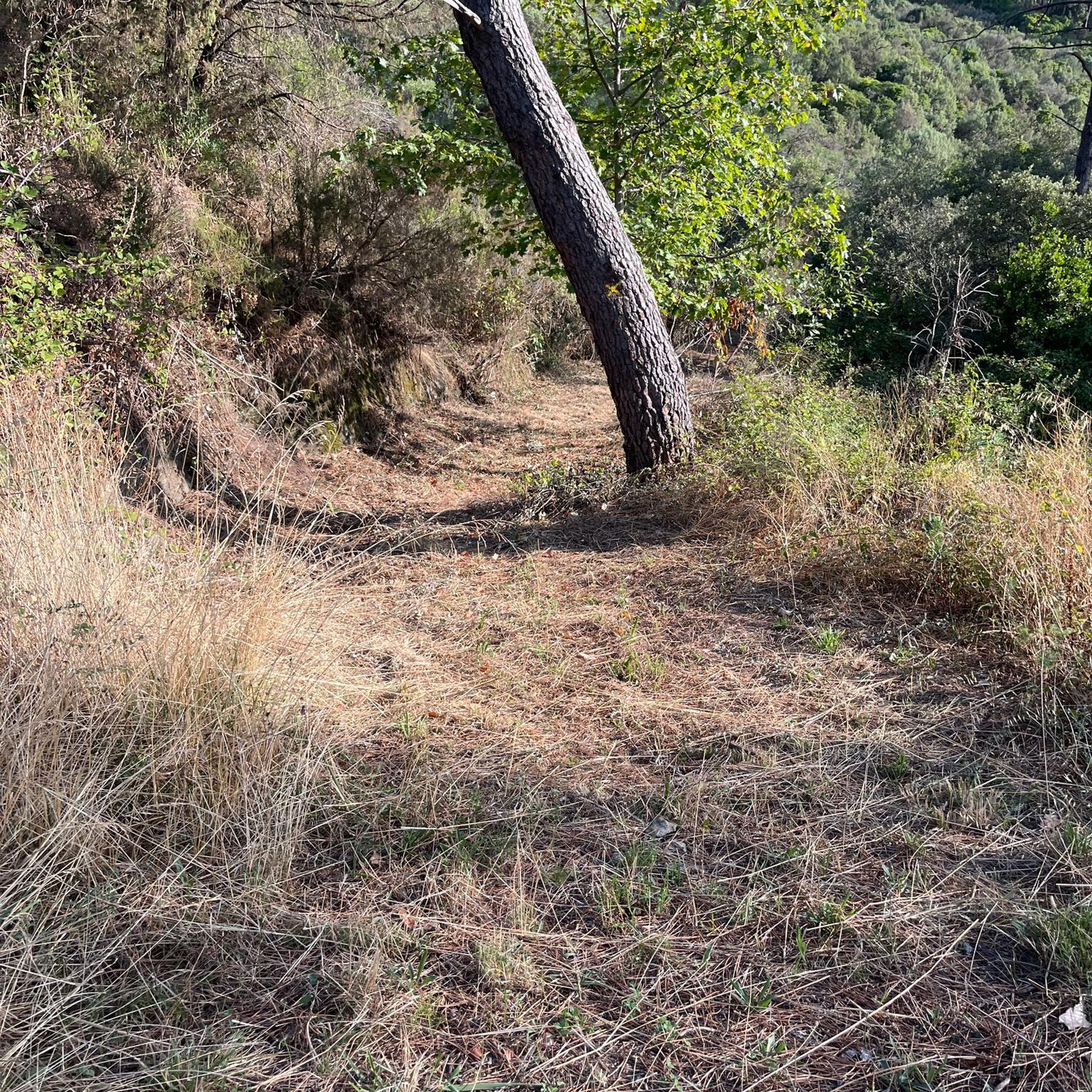
Gravel forest paths difficult to navigate
0
0

Frequently Asked Questions
How many touring cycling routes are available around Cogna?
There are over 210 touring cycling routes around Cogna, offering a wide variety of options for different skill levels. You'll find everything from moderate lakeside loops to more challenging routes with significant climbs through the region's forested hills.
What kind of terrain can I expect on touring cycling routes in Cogna?
The terrain around Cogna is characterized by numerous lakes, dense forests, and rolling hills, typical of the Jura region. Routes often feature paths along the shores of large lakes and ascents through wooded areas, providing a mix of gradients. You can expect varied surfaces, from paved roads to unpaved sections, depending on the specific route.
Are there any easy touring cycling routes suitable for beginners or families in Cogna?
Yes, Cogna offers several easy and moderate touring cycling routes. For instance, the Grand Lac de Clairvaux – Saint-Nithier Church loop from Clairvaux-les-Lacs is a moderate 14.3-mile (23.0 km) trail that circles a prominent lake and passes by a local church, making it a great option for a relaxed ride. There are 37 easy routes in total.
What are some scenic highlights or landmarks I can see while cycling around Cogna?
Cogna's touring cycling routes often feature beautiful natural landmarks. You can cycle past stunning waterfalls like the Fan Waterfall, Saut Girard Waterfall, or the impressive Hérisson Waterfalls. The region is also dotted with picturesque lakes such as Lake Ilay and Grand Maclu Lake, many offering scenic viewpoints like the Chalain Lake Viewpoint.
Are there any circular touring cycling routes in the Cogna area?
Yes, many of the touring cycling routes around Cogna are designed as loops, allowing you to start and finish in the same location. An example is the View of the Ain at Pont-de-Poitte – Pyle Bridge loop from Clairvaux-les-Lacs, which offers views of the Ain river and crosses significant bridges.
What do other touring cyclists say about the routes in Cogna?
The touring cycling routes in Cogna are highly rated by the komoot community, with an average score of 4.4 stars from over 550 reviews. More than 4,900 touring cyclists have used komoot to explore Cogna's varied terrain, often praising the beautiful lake views and the diverse scenery.
Can I find routes that offer significant elevation challenges for experienced cyclists?
Absolutely. Cogna's landscape, with its rolling hills, provides plenty of opportunities for challenging rides. For instance, the Grand Lac de Clairvaux – La Chaux-du-Dombief loop from Clairvaux-les-Lacs is a difficult 31.8-mile (51.2 km) route with over 770 meters of elevation gain, perfect for experienced touring cyclists seeking a workout.
Are there any touring cycling routes that pass by waterfalls in Cogna?
Yes, you can definitely find routes that include waterfalls. The Nice little waterfall – Saint-Nithier Church loop from Clairvaux-les-Lacs is a moderate 12-mile (19.4 km) route that features a charming waterfall, offering a refreshing stop along your ride.
What is the best time of year to go touring cycling in Cogna?
Given the region's characteristics of lakes and forests, spring, summer, and early autumn are generally the best times for touring cycling in Cogna. During these seasons, the weather is typically mild, and the natural scenery is at its most vibrant, making for pleasant riding conditions.
Are there any long-distance touring cycling options around Cogna?
For those looking for longer rides, Cogna offers several routes over 25 miles. The Doucier Beach – Grand Lac de Clairvaux loop from Clairvaux-les-Lacs is a difficult 26.1-mile (42.1 km) trail that leads through lakeside areas and diverse scenery, providing a good option for a longer day out.
What are the typical starting points for touring cycling routes in Cogna?
Many popular touring cycling routes in Cogna, including the most frequently ridden ones, start from areas like Clairvaux-les-Lacs. This central location provides convenient access to various loops around the region's prominent lakes and through its forested landscapes.
Most popular attractions around Cogna

Get inspired with the komoot mobile app


Explore more
Browse the best Cycling routes in other regions.
