The best walks and hikes around Blye
4.3
(2174)
11,846
hikers
208
hikes
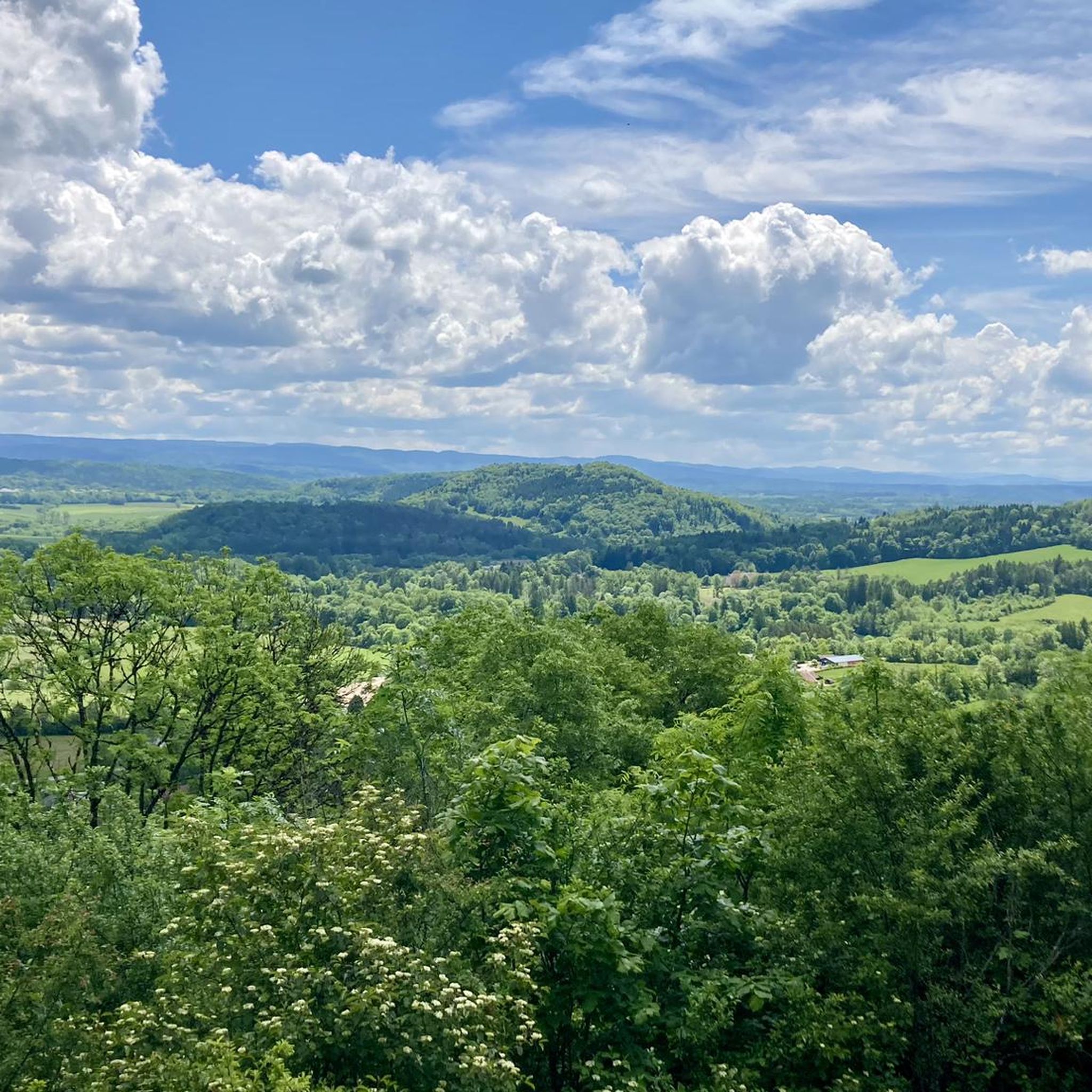
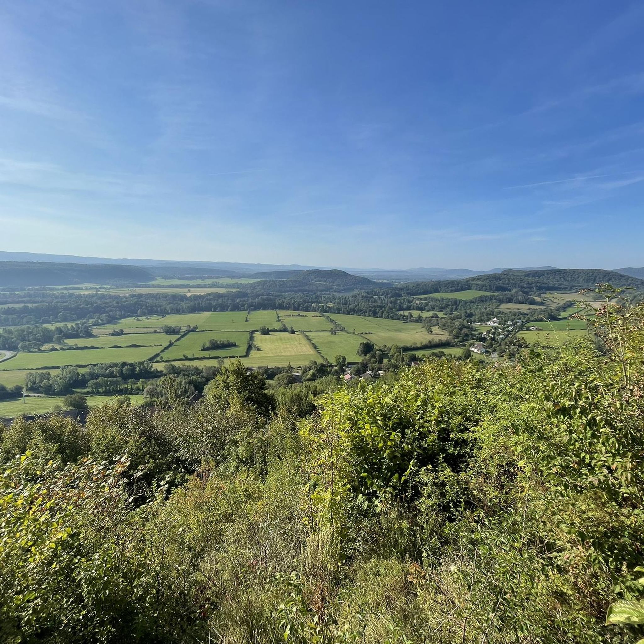
Hiking around Blye offers diverse terrain, characterized by rolling hills, dense woodlands, and views of the Ain Valley. The region features a network of trails suitable for various skill levels, with many routes following waterways and leading to scenic viewpoints. The landscape provides opportunities for both gentle walks and more challenging excursions through varied natural environments.
Best hiking trails around Blye
- The most popular hiking route is View of the Ain at Pont-de-Poitte – Pont-de-Poitte loop from Pont-de-Poitte, a…
Last updated: July 6, 2026
4.1
(9)
37
hikers
5.83km
01:37
110m
110m
Easy hike. Great for any fitness level. Easily-accessible paths. Suitable for all skill levels.
3.0
(1)
13
hikers
12.0km
03:26
270m
270m
Moderate hike. Good fitness required. Easily-accessible paths. Suitable for all skill levels.

Sign up for free
5.0
(1)
8
hikers
Moderate hike. Good fitness required. Easily-accessible paths. Suitable for all skill levels.
3.7
(6)
18
hikers
10.9km
02:56
140m
140m
Moderate hike. Good fitness required. Easily-accessible paths. Suitable for all skill levels.
5
hikers
12.9km
03:30
190m
190m
Moderate hike. Good fitness required. Easily-accessible paths. Suitable for all skill levels.
Get access to more routes and recommendations from other explorers.
Sign up for free
Already have an account?
Our route recommendations are based on thousands of hikes, rides, and runs completed by other people on komoot.
Start today with a free account
Your next adventure awaits.
Login or Signup

Tips from the Community

Start from the carpark at point B, just outside Chatillon and walk along the VLM path point A and continue from there. Lots of wild flowers and beautiful views. No cafe in Chatillon which is a shame.
0
0

Correction to my tip: Asphalt with mixed traffic, for residents, but I couldn't see where the residents wanted to go. It's a shame, some sections of the asphalt are no longer in such good condition.
0
0


entrance to the Jura lake country
0
0
Frequently Asked Questions
How many hiking trails are available around Blye?
Blye offers a wide variety of hiking options, with over 180 trails. Approximately 80 of these are considered easy, 87 are moderate, and 13 are more challenging, catering to all skill levels.
Are there easy hiking trails suitable for beginners or families in Blye?
Yes, Blye has numerous easy trails perfect for beginners or family outings. An excellent option is the Belvédère de Châtillon – Ain Valley Viewpoint loop from Châtillon, an easy 3.6-mile path offering scenic views. Another gentle choice is the Saint-Nithier Church – Clairvaux-les-Lacs Castle loop from Boissia, which is about 4.5 miles long.
What kind of natural attractions can I expect to see on hikes around Blye?
The region around Blye is rich in natural beauty. You can discover stunning waterfalls like the Baume-les-Messieurs Tufa Waterfall or the Quinquenouille Waterfall. There are also impressive viewpoints, such as the Roches Viewpoint overlooking the Baume-les-Messieurs reculée, and beautiful lakes like Lac de Clairvaux-les-Lacs.
Are there any circular hiking routes near Blye?
Many trails around Blye are designed as circular routes, allowing you to start and end at the same point. For example, the popular View of the Ain at Pont-de-Poitte – Pont-de-Poitte loop is a short 1.5-mile walk. A longer moderate option is the Below the Slopes loop from Pont-de-Poitte, which is about 6.1 miles.
What is the best season for hiking in Blye?
Blye offers enjoyable hiking experiences throughout much of the year. Spring and autumn provide pleasant temperatures and vibrant scenery, with spring bringing wildflowers and autumn showcasing colorful foliage. Summer is also popular, especially for trails near lakes, while winter can offer unique, quiet landscapes for those prepared for colder conditions.
Are there any challenging hikes for experienced hikers in the Blye area?
Yes, for experienced hikers seeking a challenge, Blye offers 13 difficult trails. These routes often feature more significant elevation changes and rugged terrain, providing a rewarding experience amidst the region's diverse landscapes.
What do other hikers say about the trails in Blye?
The hiking trails in Blye are highly regarded by the komoot community, holding an average rating of 4.4 stars from over 1,900 reviews. Hikers frequently praise the varied terrain, scenic viewpoints over the Ain Valley, and the well-maintained paths that lead through woodlands and along waterways.
Are there any hiking trails near Blye that pass by cafes or places to eat?
While specific cafes directly on every trail are not guaranteed, many routes in Blye start or end in villages like Pont-de-Poitte or Châtillon, where you can typically find local establishments to refresh yourself before or after your hike. It's always a good idea to check local amenities in advance.
What are the typical trail conditions like for hiking around Blye?
The trails around Blye generally feature varied terrain, from well-trodden paths through dense woodlands to routes along river valleys and over rolling hills. Conditions can vary with weather, so sturdy hiking shoes are recommended, especially after rain. Most paths are well-maintained, but some challenging routes may involve rougher sections.
Are there any trails that offer views of lakes or rivers?
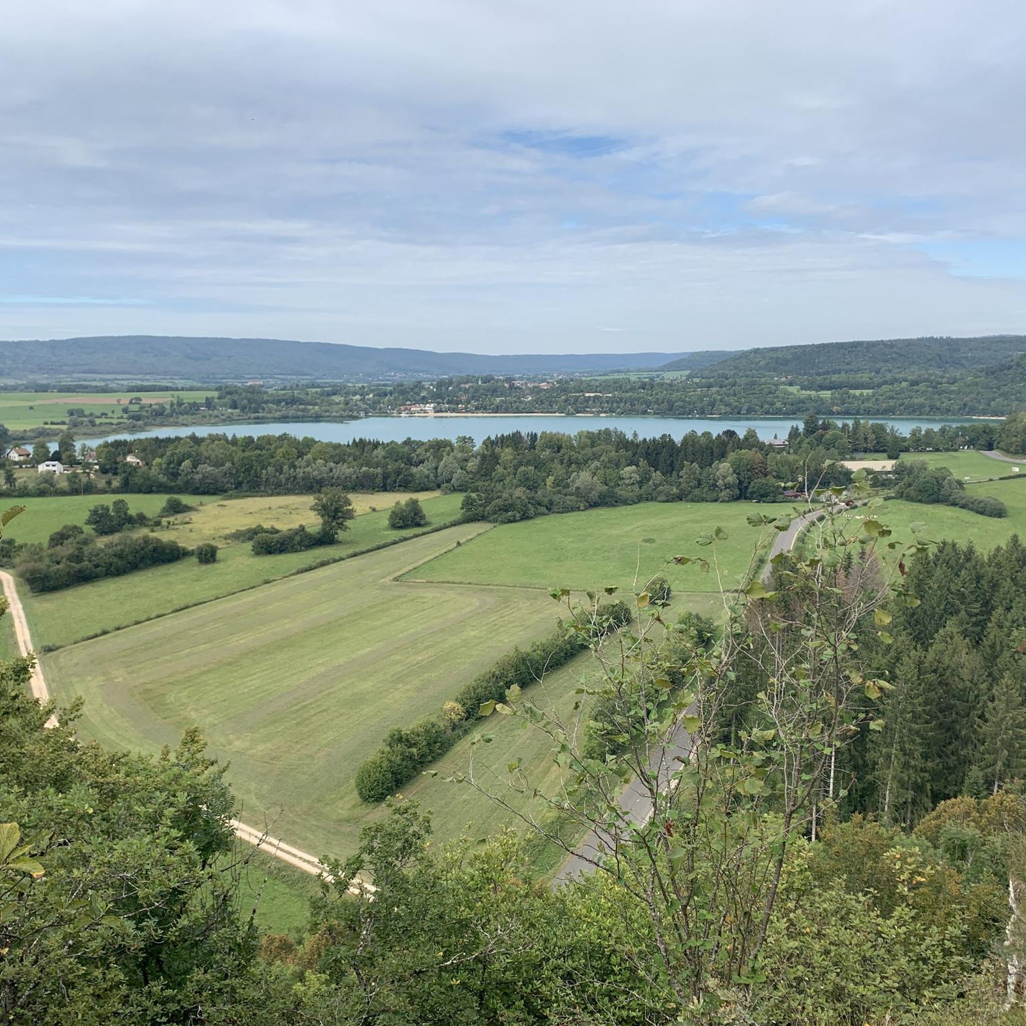
Absolutely. The region is characterized by its waterways. The View of the Ain at Pont-de-Poitte – Pont-de-Poitte loop offers direct views of the Ain river. Another excellent option is the View of the Ain at Pont-de-Poitte – Stunning view of the lake loop, which provides beautiful lake vistas.
Is public transport available to access hiking trails in Blye?
Access to hiking trails in Blye primarily relies on local road networks. While some villages that serve as trailheads might have limited public transport connections, it's often more convenient to reach many starting points by car. We recommend checking local bus schedules for specific routes if you plan to use public transport.
Where can I find parking for hiking trails around Blye?
Many popular trailheads in Blye, especially those starting in villages like Pont-de-Poitte or Châtillon, offer designated parking areas. For less frequented routes, roadside parking might be available. Always ensure you park legally and respectfully, avoiding blocking private access or narrow roads.
Most popular attractions around Blye

Get inspired with the komoot mobile app


Explore more
Browse the best Hikes in other regions.
