Top 6 Mountain Passes around La Freissinouse
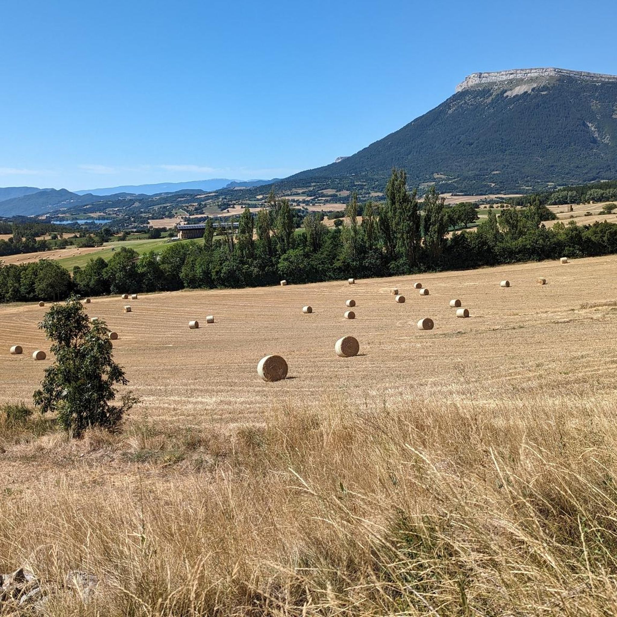
Best mountain passes around La Freissinouse are found within the Hautes-Alpes department, a region defined by its mountainous landscape and varied terrain. The area features numerous passes offering scenic routes and opportunities for outdoor activities. These passes provide access to panoramic views and diverse natural environments. The region's geography supports both challenging ascents and more accessible routes.
Best mountain passes around La Freissinouse
- The most popular mountain pass is Espréaux Pass, a mountain pass where geological formations known as…
Last updated: July 10, 2026
Espréaux Pass
Highlight • Mountain Pass
Showing Translation
Tip by

Col de Gleize (1691 m)
Highlight • Mountain Pass
Translated by Google •
Tip by

Sign up now to discover places like this
Get recommendations on the best single tracks, peaks, & plenty of other exciting outdoor places.
Sign up for free
Tourrond Pass
Highlight • Mountain Pass
Translated by Google •
Tip by

Massif de Céüse
Highlight (Segment) • Climb
Translated by Google •
Tip by
Ascent to Manse
Highlight (Segment) • Mountain Pass
Translated by Google •
Tip by

Sign up for free to discover even more mountain passes around La Freissinouse.
Sign up for free
Already have an account?
Start today with a free account
Your next adventure awaits.
Login or Signup


Tips from the Community

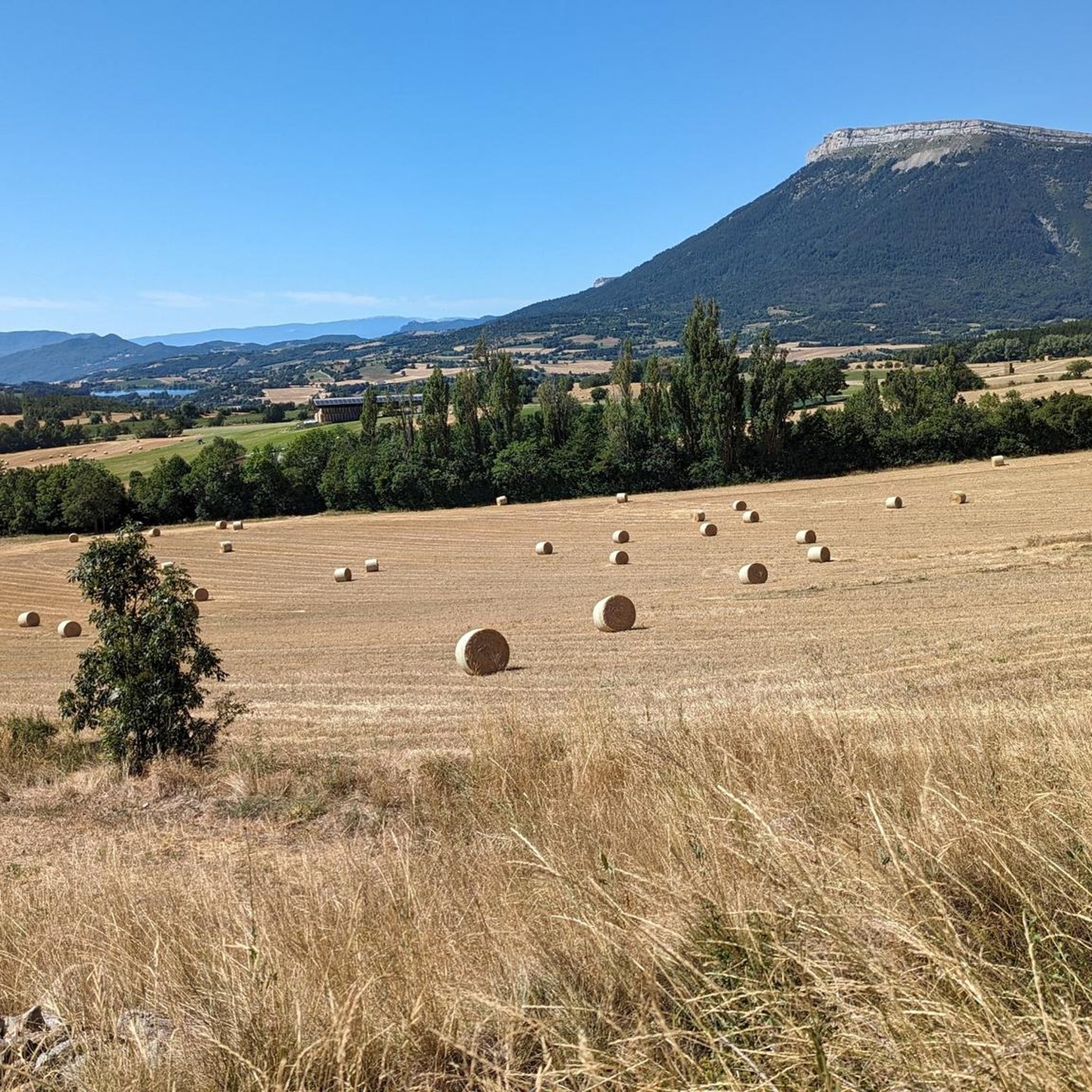
The Col d'Espreaux is a climb located in the Hautes-Alpes region. This climb is 12.2 km long, with a total elevation gain of 585 m. The Col d'Espreaux has an average gradient of 4.8%.
8
0


A pass lost in the mountains, a very small road with very few cars and magnificent landscapes
2
0

The shorter and less difficult part of the pass, watch out for the gravel on the descent, magnificent shaded landscape towards Notre Dame du Laus
0
0

Really pleasant ascent of the north slope. Road with little traffic and very pretty marl landscapes.
2
0

The Col d'Espréaux connects the Buëch valley and the Durance valley at an altitude of 1,160 meters. This passage offers unique and spectacular landscapes in the Southern Alps.
2
0

It is accessible by car via a pretty narrow road and has parking as it is the starting point for many trails.
1
0

Superb passes without big challenge with magnificent landscapes. a treat during the RAF 500 2023 even in the rain :-)
3
1
Frequently Asked Questions
What unique geological features can I observe at mountain passes near La Freissinouse?
At Espréaux Pass, you can witness a fascinating geological phenomenon known as "marls." These formations, composed of rock with 35% to 65% limestone, crumble easily, creating distinctive geometric shapes in the mountains. The pass offers a superb panorama at its summit.
Are there mountain passes around La Freissinouse that are good starting points for hiking trails?
Yes, Col de Gleize (1691 m) is an excellent choice. It's accessible by car via a narrow road and has parking available, making it a convenient starting point for numerous hiking trails into the surrounding mountains. For more hiking options, explore the Mountain Hikes around La Freissinouse guide.
Which mountain passes offer a calm and shaded environment for cycling or driving?
Tourrond Pass is known for its tranquil atmosphere. The climb features a paved road winding through a forest, providing a peaceful and shaded journey. The last section of this climb has inclines of 8-9%, offering a good challenge.
Are there challenging climbs for experienced cyclists near La Freissinouse?
Absolutely. The Massif de Céüse offers a tough climb from Manteyer to Céüse Station, spanning 6.6 km with an average gradient of 8.5% and maximum gradients reaching 10%. The middle part of the climb often sees percentages between 8% and 10%, rewarding cyclists with very beautiful views from the top.
Where can I find quiet roads with nice views for a leisurely drive or cycle?
The Ascent to Manse offers a small, very quiet side street (Route du Lac) from Romette to the Canal de Gap and the Col de Manse. This route provides pleasant views and a peaceful experience away from busier roads.
What mountain passes in the region are suitable for diverse cycling experiences, including unpaved sections?
The Col de Carabès is a great option for cyclists seeking variety. It can be approached from Valdrôme (9.7 km, 4.9% average gradient) or Sigottier (10.5 km, 5.15% average gradient). While some sections may be unpaved, it's generally suitable for all bike types, offering rewarding panoramic views. A shelter is available at the pass for a break.
Which passes offer a serene natural environment, ideal for quiet immersion in nature?
Col de Rossas (1,115 m) in the Diois massif is renowned for its serene and calm environment. Ascending from Valdrôme, it spans 6.4 kilometers with an average gradient between 6.5% and 7%. Visitors often encounter sheep and goats in the surrounding pastures, making it perfect for those seeking a peaceful connection with nature.
Are there mountain passes with dramatic scenery and winding roads?
Col des Tourette (1,126 m) is highly recommended for its splendid views. The approximately fifteen-kilometer climb from the Oule valley, with gradients around 6% from Montmorin, gracefully winds between the impressive mountains of Chauvet and Maraysse, offering a truly scenic journey.
Which mountain passes provide panoramic views without requiring a strenuous climb?
Col de la Saulce (877 m), located on the D94 road, offers wonderful panoramic views, particularly around Rosans. Despite being on a busier route, it provides a leisurely drive or ride, allowing visitors to enjoy picturesque scenery without a demanding ascent.
What types of cycling routes are available near the mountain passes of La Freissinouse?
The region around La Freissinouse offers a variety of cycling experiences. You can find dedicated guides for Gravel biking and general Cycling. These guides feature routes ranging from easy loops to more difficult, longer rides, often incorporating the scenic mountain passes.
What do visitors appreciate most about the mountain passes around La Freissinouse?
Visitors frequently praise the diverse natural environments, panoramic views, and the mix of challenging ascents and more accessible routes. The komoot community has contributed 97 upvotes and 49 photos, highlighting the area's appeal for scenic beauty, cycling, and tranquil hiking trails.
Most popular routes around La Freissinouse
Most popular attractions around La Freissinouse

Get inspired with the komoot mobile app


Explore more
See even more epic mountain passes by checking out these guides around La Freissinouse:
