The best cycling routes around Avers
4.6
(108)
2,278
riders
44
rides
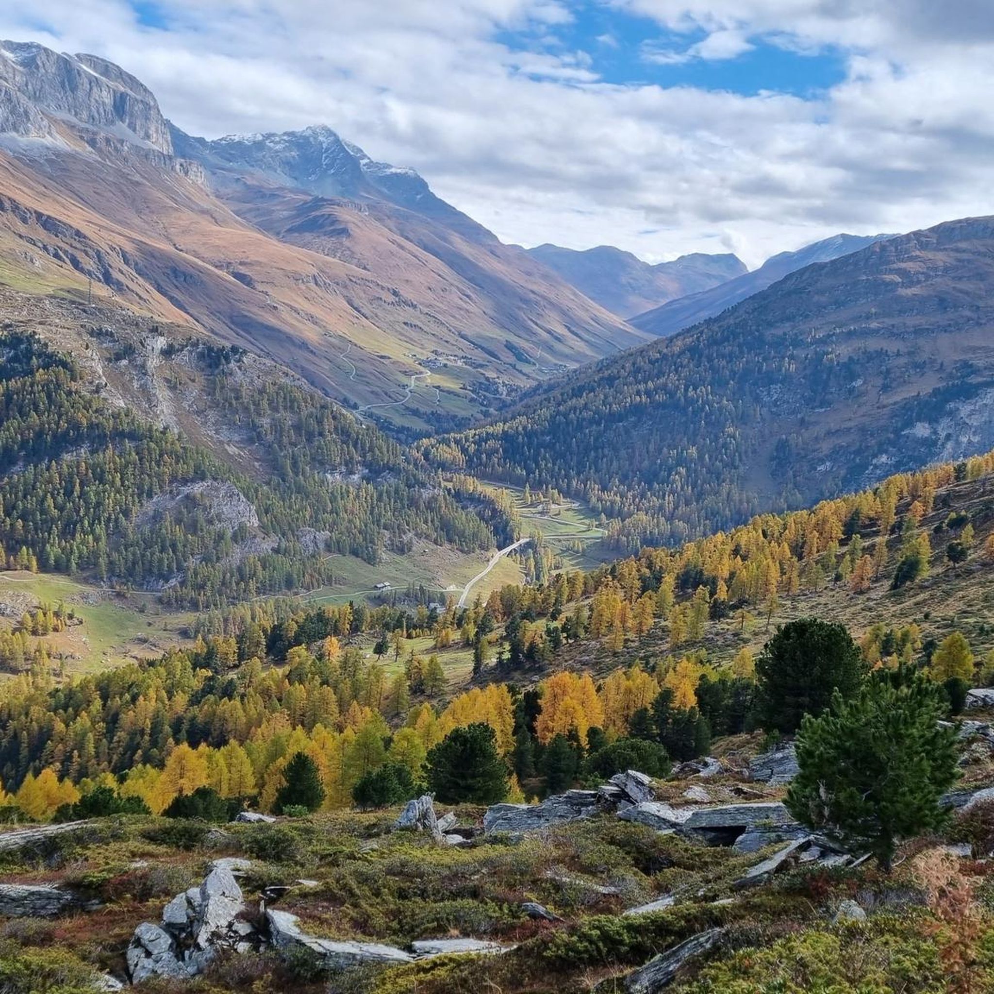
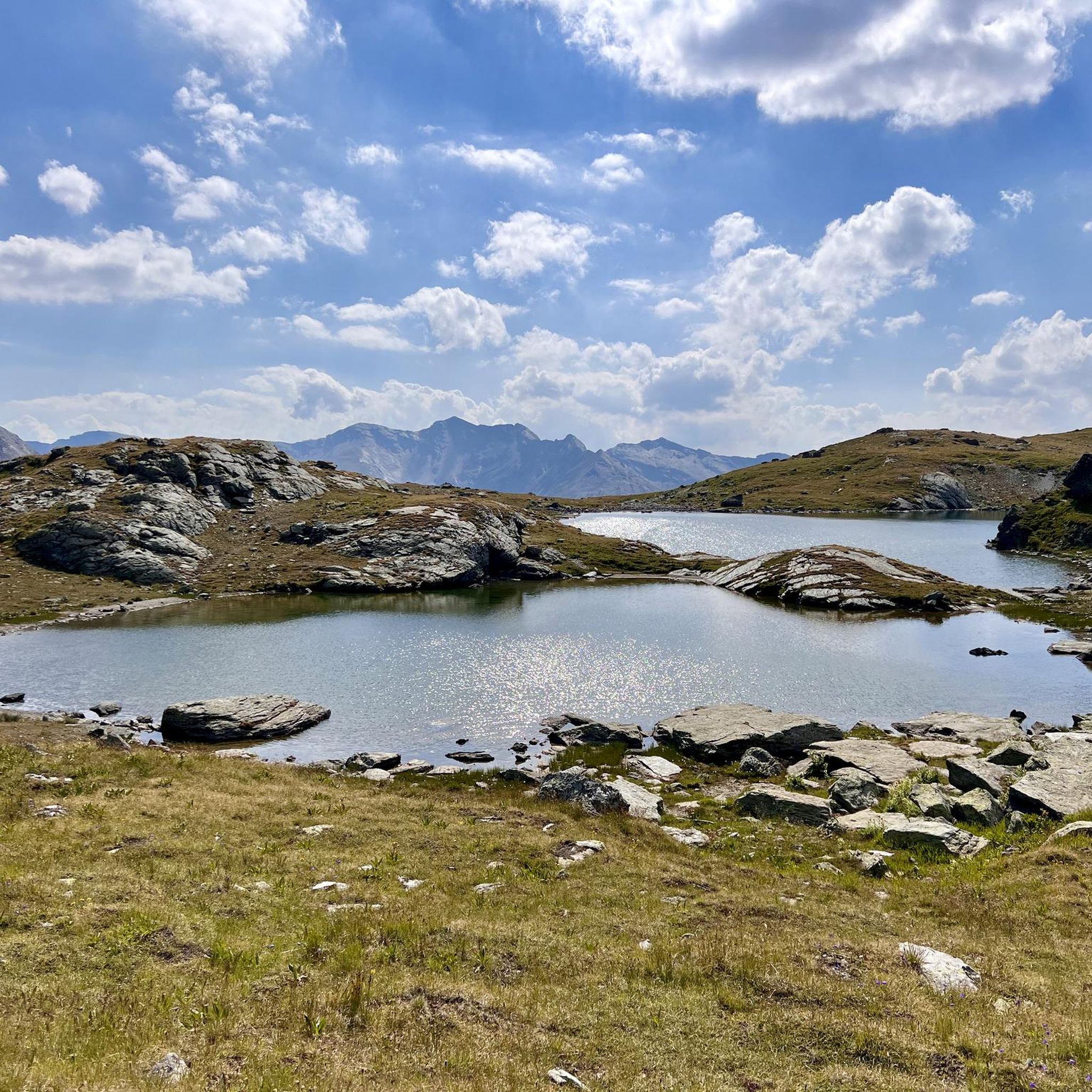
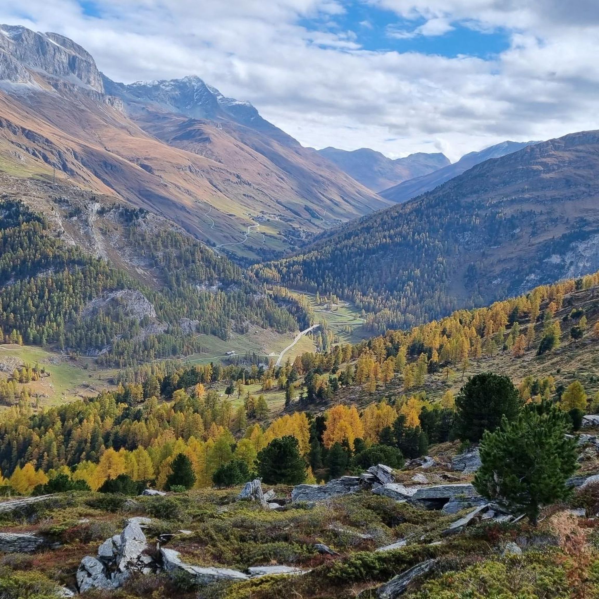
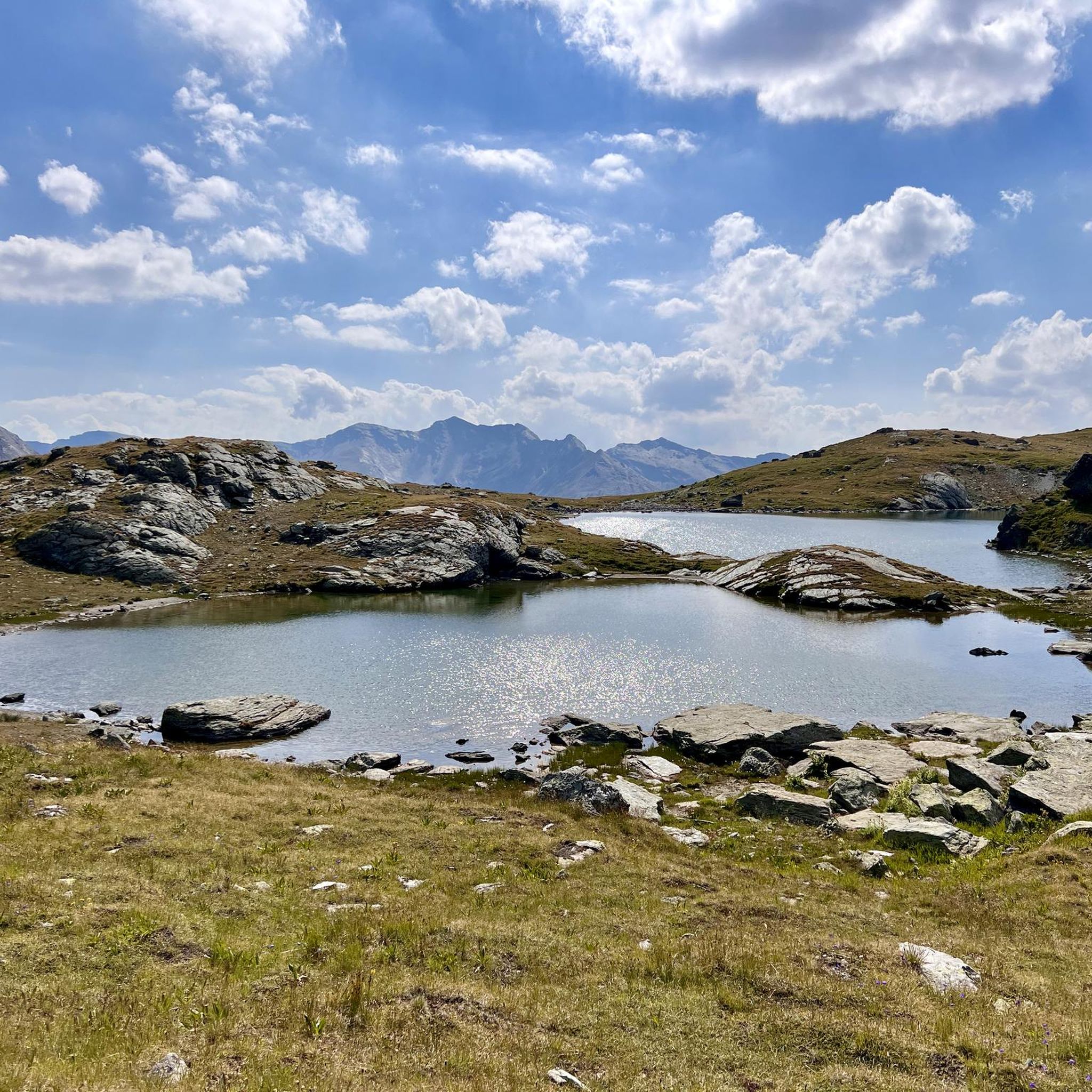
Touring cycling routes around Avers navigate a high alpine valley in Switzerland, characterized by significant elevation changes and mountain passes. The region features a landscape of rugged peaks, deep valleys, and clear mountain streams. Cyclists can expect routes that traverse varying terrain, from challenging ascents to scenic descents through forested areas and open meadows.
Best touring cycling routes around Avers
- The most popular touring cycling route is From Promontogno to Passo Maloja, a 23.0 miles (37.0 km) trail that…
Last updated: August 14, 2026
5.0
(2)
76
riders
37.0km
02:57
980m
980m
Hard bike ride. Very good fitness required. You may need to push your bike for some segments of this route.
4.6
(24)
262
riders
38.8km
02:54
880m
880m
Hard bike ride. Very good fitness required. Mostly paved surfaces. Suitable for all skill levels.

Sign up for free
5.0
(3)
52
riders
104km
08:44
3,020m
3,020m
Hard bike ride. Very good fitness required. Mostly paved surfaces. Suitable for all skill levels.
5.0
(1)
47
riders
37.1km
02:52
1,020m
1,020m
Hard bike ride. Very good fitness required. Mostly paved surfaces. Suitable for all skill levels.
5.0
(6)
26
riders
16.6km
01:36
230m
240m
Moderate bike ride. Good fitness required. Mostly paved surfaces. Suitable for all skill levels.
Get access to more routes and recommendations from other explorers.
Sign up for free
Already have an account?
Our route recommendations are based on thousands of hikes, rides, and runs completed by other people on komoot.
Start today with a free account
Your next adventure awaits.
Login or Signup
Popular around Avers
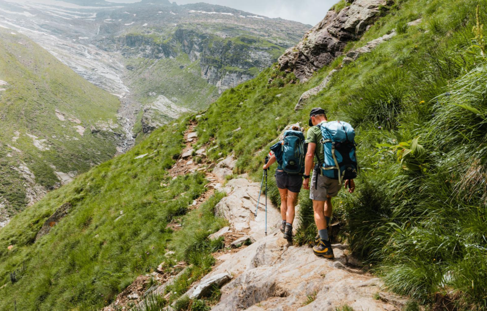
Mountain worlds and gorge magic – adventure hikes in the Viamala Region
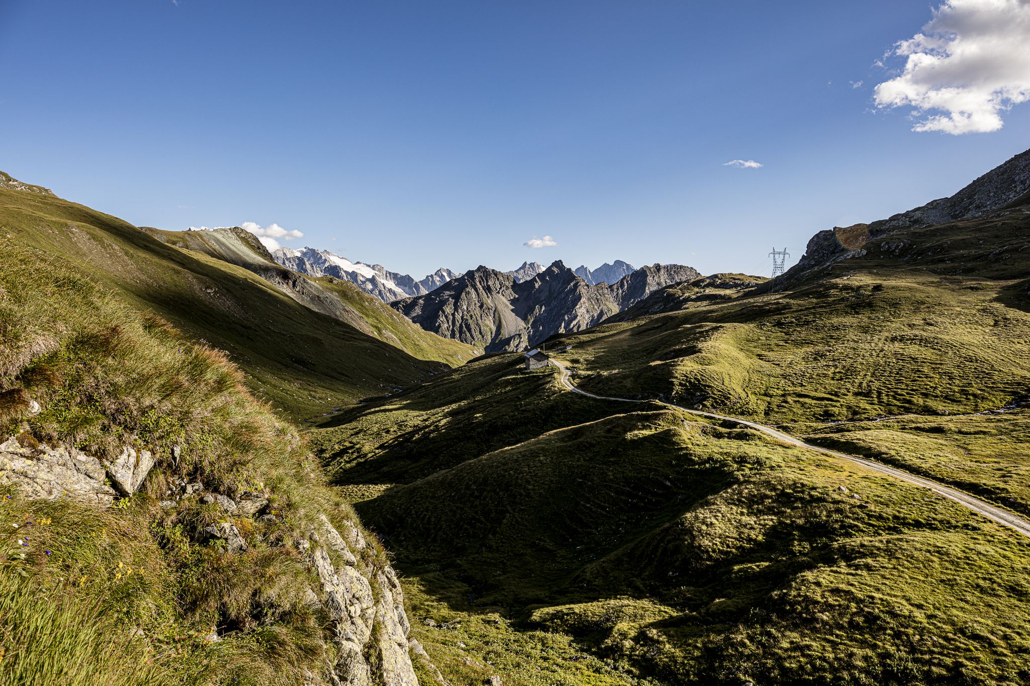
Parc Ela Trek – 17 days of trekking in the heart of Europe
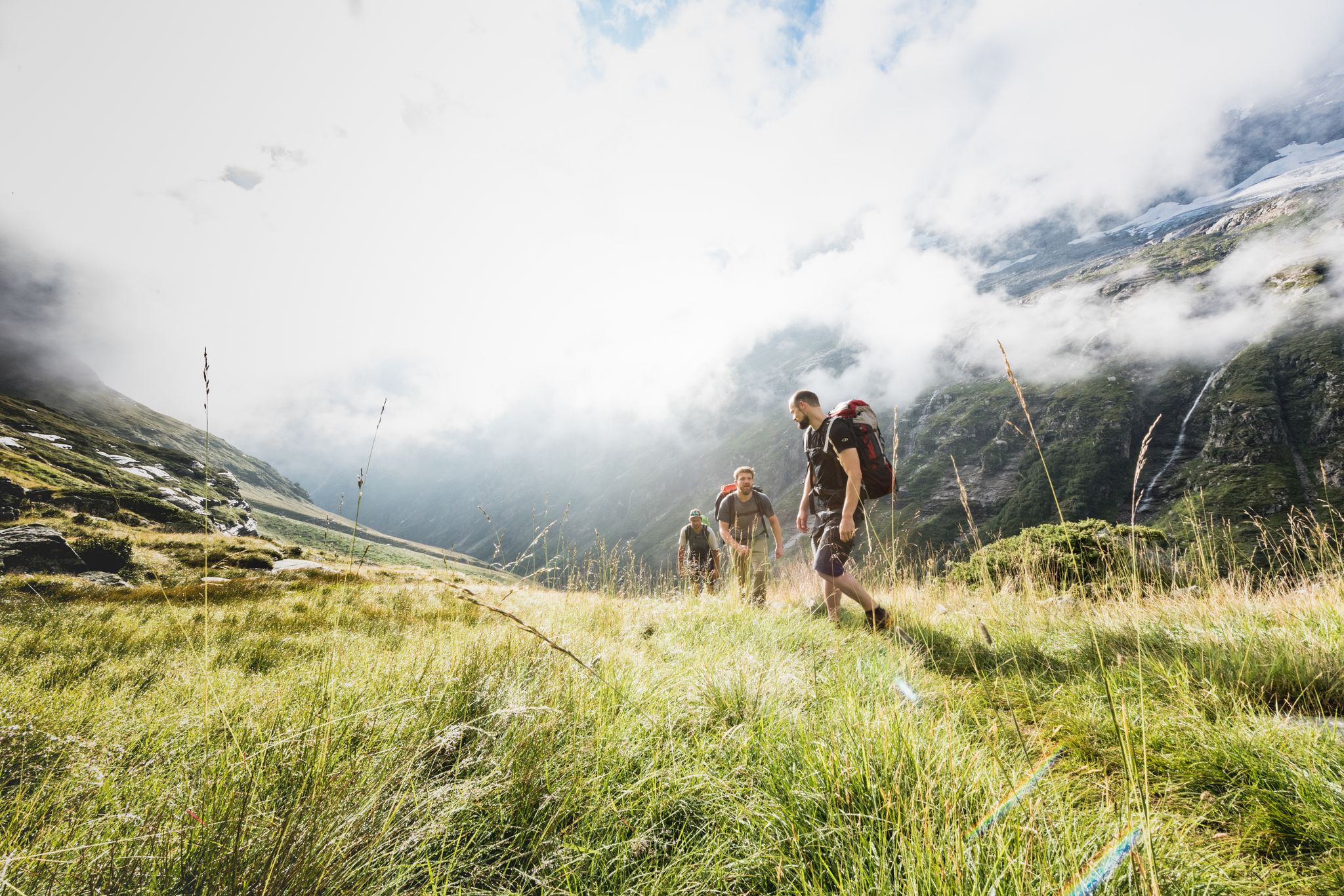
Over hill & dale – Viamala Hiking Paradise
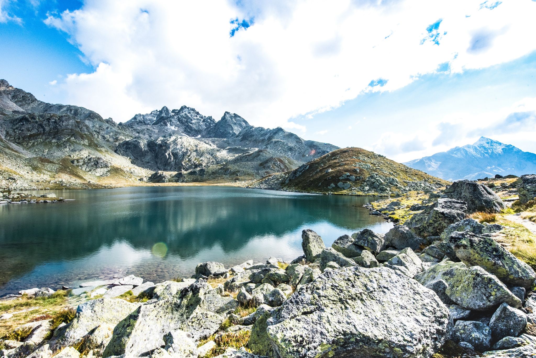
Viamala – a hiking paradise in the heart of the Grisons in Switzerland
MTB Trails around Avers
Hiking around Avers
Road Cycling Routes around Avers
Running Trails around Avers

Mountain Hikes around Avers
Gravel biking around Avers
Other adventures around Avers


Tips from the Community

Silvaplanersee is an ideal windsurfing and kiteboarding area with a reliable Maloja wind in good weather. With strong day/night temperature differences, the rocks before the Maloja Pass in Bergell heat up and the wind pulls down the Inn Valley. This effect can be intensified by an approaching bad weather front -> then things really get going. With north wind (Bise) or Julier wind, however, the wind is weak. An ideal starting point for surfing is the Silvaplana campsite at the surf center with a large parking lot.
0
0

Simply beautiful! Turquoise blue water and a gorgeous mountain panorama. An absolute MUST!
1
0

Julier Pass, History (Pass height 2284 m above sea level) The column remnants exactly at the summit of the Julier Pass and the finds of Roman coins nearby point to a very early use of this Alpine crossing. The Septimer Pass, a few kilometers to the west, which was however steeper and more avalanche-prone, can certainly be considered a competitor. What is certain is that both were used intensively in Roman times. The Julier even with two-wheeled carts. In the age of packhorse trains, the Julier increasingly lost importance because the topography at the Septimer Pass was hardly a factor and, moreover, the detour via the Engadin was not necessary. With the construction of a cart track over the Septimer (1387), the Julier was definitively left behind. The Julier remained important for access to the Upper Engadin and the Bernina Pass. The actual road construction over the Julier took place between 1820 and 1826. In this phase of history, the Julier retained "the upper hand" over the Septimer. On the one hand, topographical reasons were decisive, and on the other hand, the canton could not afford to ignore the Engadin. This was the first road construction project in which the canton acted as the client. In the second half of the 19th century, various route adjustments followed, which became necessary due to the increasing feeder traffic for the Upper Engadin health resorts. The opening of the Albula Line of the Rhaetian Railway in 1903 caused car traffic over the Julier to collapse again. When the Federal Council put pressure on the Graubünden government in 1923 for a car-suitable transit route, the canton opted for the Julier route. Between 1935 and 1940, the pass road was renovated and was the first Alpine crossing to receive an asphalt surface. Today, the Julier is the most important, year-round open, northern access to the Engadin. Text / Source: Interessengemeinschaft Alpenpässe IAP, Postfach 11, Realp https://www.alpen-paesse.ch/de/alpenpaesse/julierpass/
13
0
Already in the Roman Empire around 2,000 years ago Already in the Roman Empire around 2,000 years ago, the Julier Pass was of great importance. At the pass summit, two columns of a Roman sanctuary still stand today. Today, the pass road over the Julier is the most important road connection to the Engadin and is passable all year round. In the vicinity of the Julier, you will find numerous hiking and biking routes on which the landscape can be ideally explored. From the Julierhospitz (pass summit 2284 m above sea level), the exploration tour or hike to the clear mountain lake Leg Grevasalvas begins. Text / Source: Graubünden Ferien, Alexanderstrasse 24, Chur https://www.graubuenden.ch/de/ausflugsziele/julierpass
13
0


Difficult descent on the last kilometer
0
0
Frequently Asked Questions
How many touring cycling routes are available in Avers?
There are over 45 touring cycling routes around Avers, offering a wide range of options for cyclists of all levels.
What are the difficulty levels of touring cycling routes in Avers?
Avers offers a diverse range of routes: 3 are classified as easy, 14 as moderate, and 28 as difficult. This ensures options for various skill levels, from leisurely rides to challenging alpine ascents.
What kind of terrain can I expect on touring cycling routes in Avers?
Touring cycling routes in Avers navigate a high alpine valley in Switzerland, featuring significant elevation changes and mountain passes. You can expect rugged peaks, deep valleys, clear mountain streams, and routes that traverse varying terrain from challenging ascents to scenic descents through forested areas and open meadows.
Are there easy touring cycling routes suitable for beginners in Avers?
Yes, Avers offers 3 easy touring cycling routes. These are generally shorter with less elevation gain, making them suitable for beginners or those looking for a more relaxed ride. For example, the Alpe Sovrana loop from Cresta is a moderate option that provides a good balance for those building experience.
What natural attractions can I see along touring cycling routes in Avers?
The region around Avers is rich in natural beauty. You can explore stunning gorges like the Cardinello Gorge and the Madris Valley. There are also beautiful lakes such as Lago di Cavloccio and Sufnersee, perfect for a scenic stop.
Are there any routes that feature waterfalls or tunnels?
Yes, the Cama Waterfall with Tunnel – Valchiavenna Cycle Path loop from Soglio is a difficult route that includes a scenic cycle path, a beautiful waterfall, and an interesting tunnel section, offering a unique touring experience.
What do other touring cyclists say about the routes in Avers?
The touring cycling routes in Avers are highly rated by the komoot community, with an impressive average score of 4.7 stars from over 170 reviews. More than 3000 touring cyclists have used komoot to explore the varied terrain, often praising the challenging mountain passes and clear alpine lakes.
Are there any circular touring cycling routes in Avers?
Yes, several routes in Avers are circular, allowing you to start and end at the same point. Examples include the Julier Pass – Lake Silvaplana loop from Bivio and the Alpe Sovrana loop from Cresta.
Can I find routes that pass through high mountain passes?
Absolutely. Avers is known for its high mountain passes. Routes like From Promontogno to Passo Maloja and the Julier Pass – Lake Silvaplana loop from Bivio will take you over significant mountain passes, offering breathtaking views and challenging climbs.
Are there routes that explore historical or cultural points of interest?
While the primary focus is natural landscapes, some routes pass by interesting structures. For instance, the Stone Bridge of Promontogno – Old Bridge of Promontogno loop from Val Bregaglia incorporates historical bridges into its scenic journey.
What is the average duration for a touring cycling route in Avers?
Route durations vary significantly based on distance and elevation. For example, a difficult route like From Promontogno to Passo Maloja typically takes around 2 hours 57 minutes, while a moderate one like the Alpe Sovrana loop from Cresta can be completed in about 1 hour 40 minutes.
Most popular attractions around Avers

Get inspired with the komoot mobile app


Explore more
Browse the best Cycling routes in other regions.
