The best MTB trails around Buhl
4.4
(215)
859
riders
114
rides
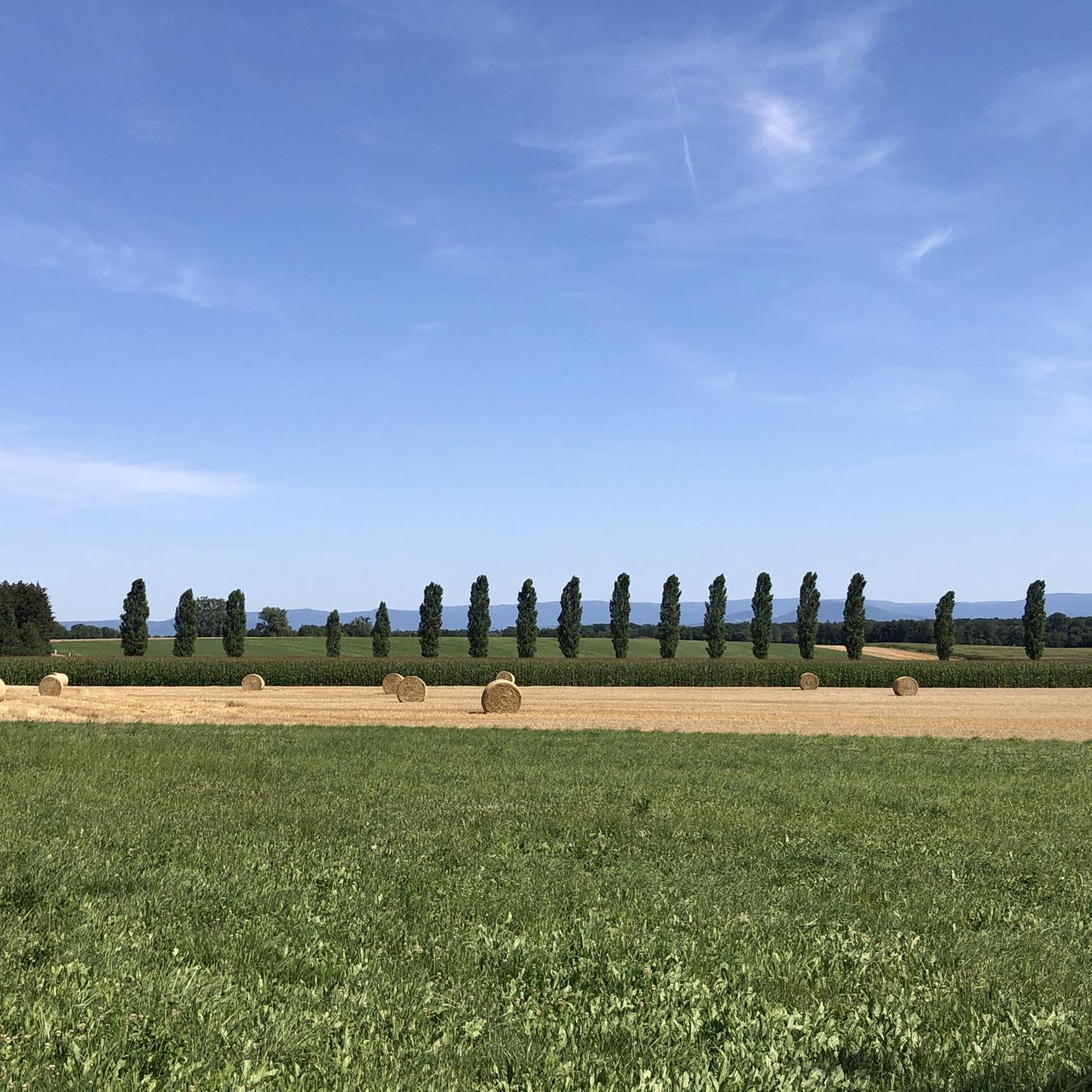
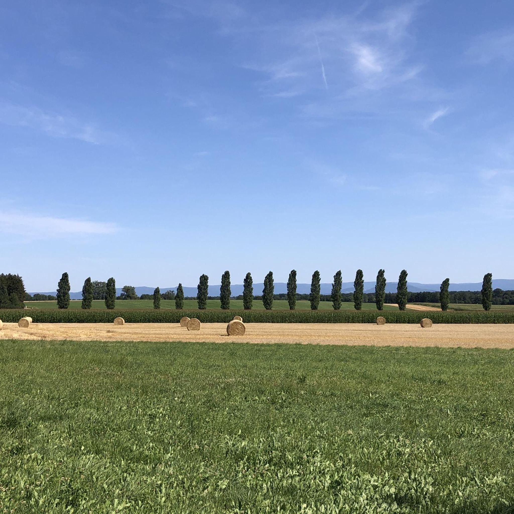
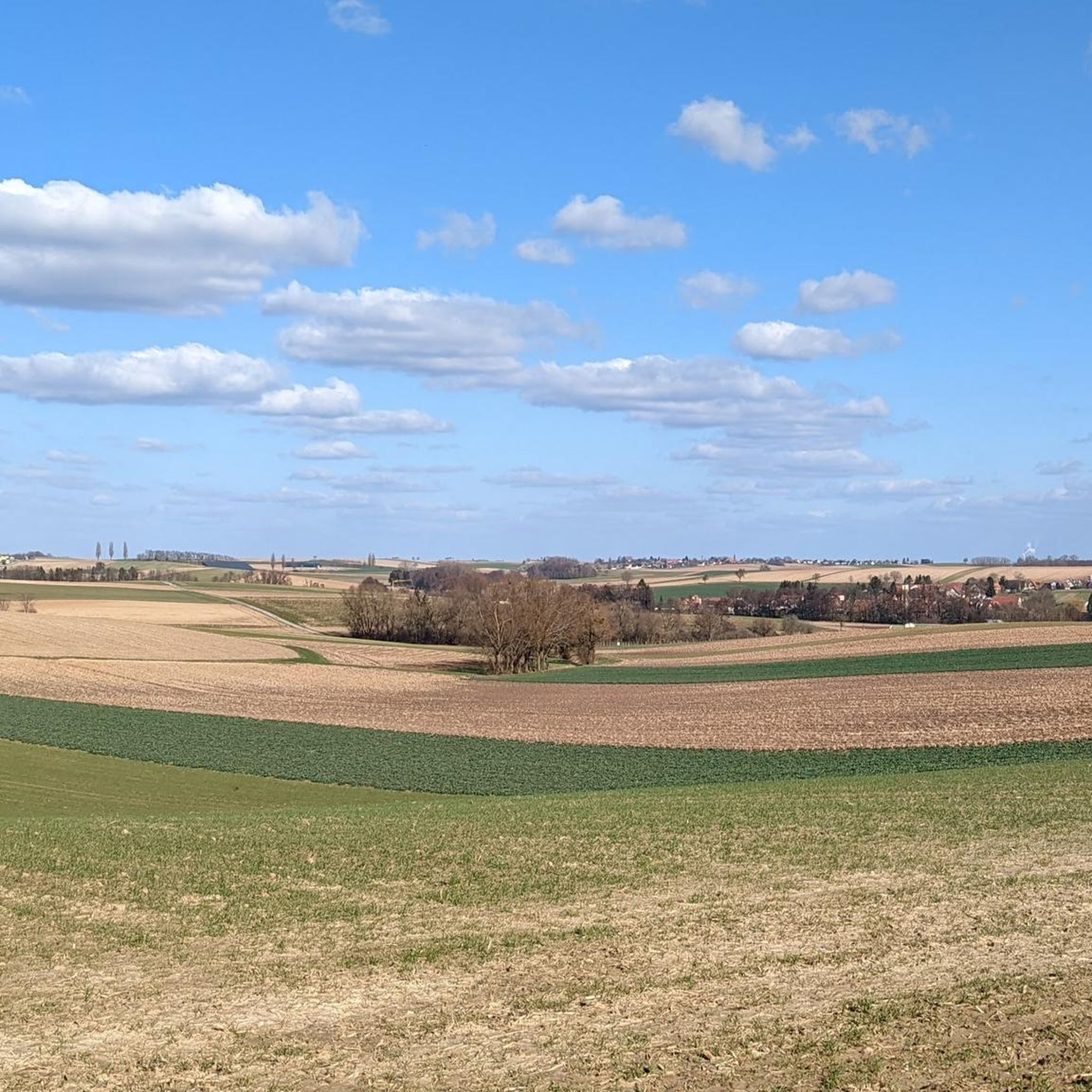
Mountain bike trails around Buhl are primarily characterized by their proximity to the Rhine river, offering routes along its banks and through surrounding lowlands. The region features a network of paths that traverse flat river plains and agricultural areas, with occasional gentle climbs. The landscape is defined by the expansive Rhine valley, providing open views and a mix of riverside scenery and rural environments, with distant views towards the Vosges mountains.
Best mountain bike trails in Buhl
- The most popular mountain bike trail is Greffern Rhine Ferry – Seltz–Plittersdorf Cable Ferry loop from Seltz, a 31.5 miles (50.7 km) trail that takes 2 hours 48 minutes to complete. This moderate route includes ferry crossings and explores the river landscape.
- Another top favourite among local mountain bikers is Sauer Delta Nature Reserve – Rhine Ferry Alsace loop from Seltz, a moderate 21.4 miles (34.5 km) path. This route leads through the Sauer Delta Nature Reserve, offering diverse natural scenery.
- Local mountain bikers also love the View of the Vosges – Path with superb views loop from Seebach, a 23.7 miles (38.1 km) trail leading through varied terrain with significant elevation gain, often completed in about 3 hours 4 minutes.
- Mountain biking around Buhl is defined by riverside paths, open agricultural landscapes, and views towards the Vosges mountains. The network offers options for various ability levels, from easy flat sections to moderate routes with some elevation gain.
- The routes in Buhl are highly rated by the komoot community with an average score of 4.2 stars from over 190 reviews. More than 700 mountain bikers have used komoot to explore Buhl's varied terrain.
Last updated: September 29, 2026
4.4
(5)
33
riders
42.9km
02:22
80m
80m
Moderate mountain bike ride. Good fitness required. Suitable for all skill levels.
5.0
(6)
31
riders
Easy mountain bike ride. Great for any fitness level. Suitable for all skill levels.

4.7
(7)
16
riders
34.3km
02:09
170m
170m
Moderate mountain bike ride. Good fitness required. Advanced riding skills necessary.
5.0
(1)
13
riders
73.0km
04:11
190m
190m
Moderate mountain bike ride. Good fitness required. Suitable for all skill levels.
4.0
(1)
12
riders
32.8km
01:50
130m
130m
Easy mountain bike ride. Great for any fitness level. Suitable for all skill levels.
Get access to more routes and recommendations from other explorers.
Already have an account?
Our route recommendations are based on thousands of hikes, rides, and runs completed by other people on komoot.
Start today with a free account
Your next adventure awaits.

Tips from the Community

A beautiful and pristine nature reserve near Munchhausen in French Alsace. Over around 486 hectares, floodplain forests, wet meadows, reeds, and quiet water surfaces alternate. The Sauer Delta is one of the last areas where the Rhine's floodwaters can still spread naturally into the floodplains.
9
0
A quiet memorial to the Avro Lancaster LM137 of 626 Squadron RAF, which crashed in the Sauer-delta region during a mission against Frankfurt on the night of September 12, 1944. Eight crew members were on board, some of whom lost their lives while others were taken prisoner of war.
4
0

A walk along the Lauter with views of the half-timbered houses is a particular delight in autumn or spring, when nature makes the scenery even more atmospheric. 🍁🌸
0
0

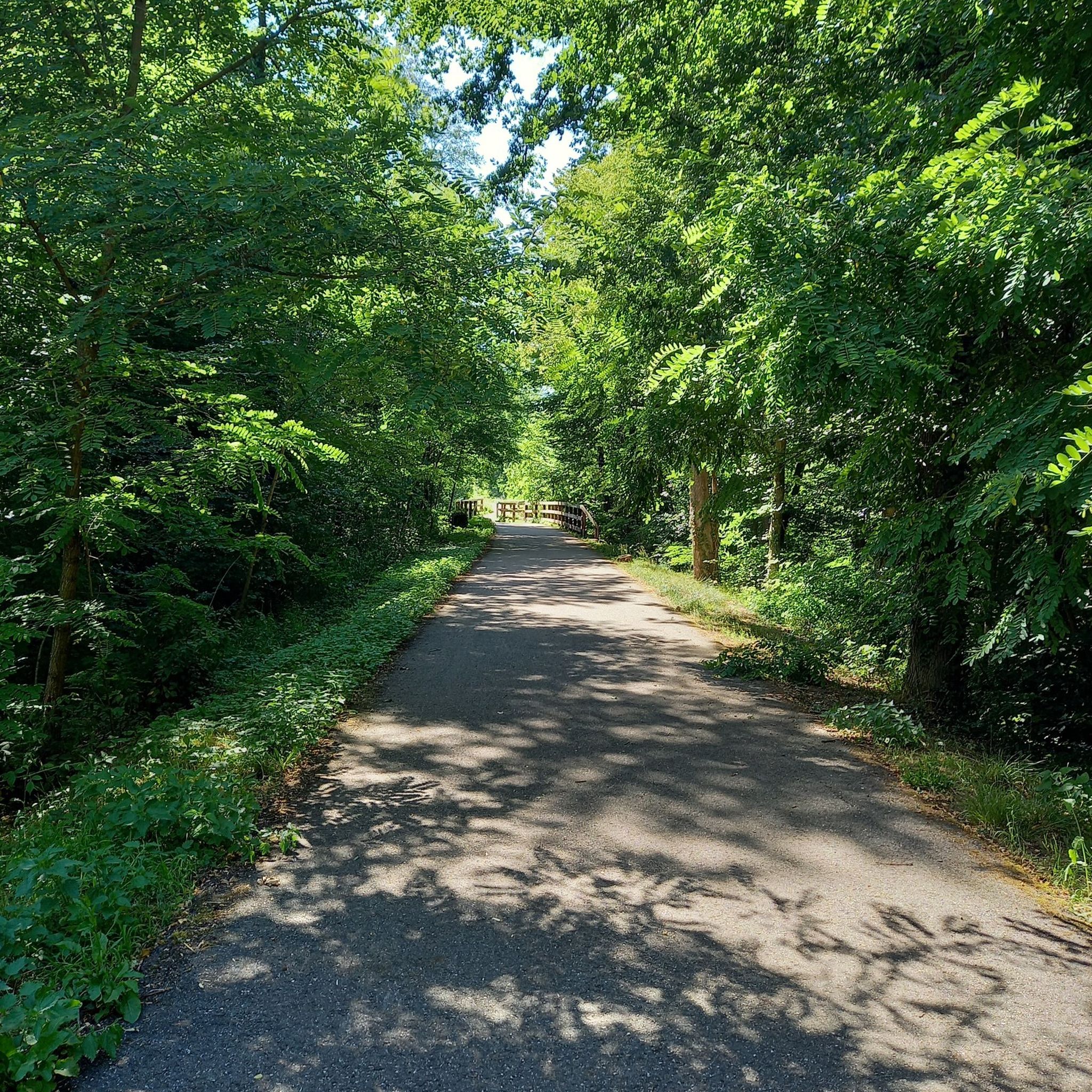
well-maintained cycle path, suitable for all bikes
0
0

The Rhine itself is not directly visible here, but rather a harbor basin or an old Rhine arm. The Rhine is not far away, however.
1
1

The Rhine is one of the most important rivers in Europe and has a length of approximately 1,233 km. Its source lies in the Swiss Alps, where it originates from several mountain streams. From there, it first flows through Switzerland and then partly forms the border between Germany and France, before continuing through Germany and finally the Netherlands. Near Rotterdam, the Rhine divides into several distributaries and finally reaches the North Sea. Its drainage basin is very large (approx. 185,000 km²) and includes many tributaries such as the Moselle, Main, or Neckar. The Rhine has great importance for Europe: Shipping: One of the most important waterways in the world for trade and transport Economy: Connection of many industrial and port cities Nature: Habitat for numerous animal and plant species Energy: Utilization through hydropower in the Alpine regions Due to its location and use, the Rhine is considered one of the most important lifelines of Central Europe.
1
0
The Sauer is a tributary of the Rhine, approximately 70 km long. It originates in the Palatinate Forest near the Franco-German border. On its course, it flows through the Northern Vosges and partly forms the border between Germany and France. It then crosses Alsace before flowing into the Rhine near Munchhausen. The Sauer has a catchment area of about 800 km² and an average discharge of around 6 m³ per second.
2
0
The "Saletio" cable ferry is unique in its kind. A cable system whose principle consists of using the sole force of the current to move. It connects the two banks Seltz (FR) with Plittersdorf (DE). It can transport 70 passengers, 28 bicycles, and 6 vehicles. Motorhomes and caravans are not allowed on the ferry. The ferry is free.
0
0
Frequently Asked Questions
How many mountain bike trails are available around Buhl?
There are over 100 mountain bike trails around Buhl, offering a wide range of options for different skill levels and preferences. You'll find routes primarily along the Rhine river and through surrounding lowlands.
What kind of terrain can I expect on mountain bike trails around Buhl?
The mountain bike trails around Buhl are characterized by their proximity to the Rhine river, featuring routes along its banks and through surrounding lowlands and agricultural areas. You can expect mostly flat river plains with occasional gentle climbs, offering open views of the Rhine valley and sometimes towards the Vosges mountains.
Are there mountain bike trails suitable for beginners in Buhl?
Yes, Buhl offers 24 easy mountain bike trails, perfect for beginners or those looking for a relaxed ride. These routes typically feature flat sections along the river and through rural landscapes.
Are there any challenging mountain bike routes for experienced riders?
While the majority of trails are moderate, there is 1 difficult mountain bike route available for experienced riders seeking a greater challenge. Many moderate routes also include some elevation gain, such as the View of the Vosges – Path with superb views loop from Seebach, which features over 650 meters of elevation gain.
What do other mountain bikers enjoy most about the trails in Buhl?
The mountain bike routes in Buhl are highly rated by the komoot community, with an average score of 4.2 stars from over 180 reviews. Riders often praise the scenic riverside paths, the open agricultural landscapes, and the views towards the Vosges mountains.
Are there any circular mountain bike routes in Buhl?
Yes, many of the mountain bike trails around Buhl are designed as loops. For example, the popular View of Neuburg am Rhein – Rhine Riverside Path loop from Rastatt is a 46.6 km circular route along the Rhine, and the Greffern Rhine Ferry – Seltz–Plittersdorf Cable Ferry loop from Seltz is another great option that includes ferry crossings.
What interesting natural sights can I see along the mountain bike trails?
Along the trails, you can explore various natural monuments and water features. Notable sights include the Confluence of the Murg and Rhine, the Mouth of the Murg River, and the Sauer Delta. You might also pass by the Rastatter Rheinaue Nature Reserve, which offers beautiful lake views and opportunities for birdwatching.
Are there any historical landmarks or points of interest near the mountain bike routes?
Yes, you can encounter historical points of interest such as the Redoubt of the Lauter Line, a historical site that adds a cultural dimension to your ride.
What is the typical length of mountain bike trails around Buhl?
The trails vary in length, but many popular routes are between 30 to 50 kilometers. For instance, the Sauer Delta Nature Reserve – Rhine Ferry Alsace loop from Seltz is 34.5 km, while the Gruendel Pond – Biblisheim former train station loop from Betschdorf is just under 32 km.
Are there any trails that involve ferry crossings?
Yes, some unique routes incorporate ferry crossings, offering a different perspective of the river landscape. The Greffern Rhine Ferry – Seltz–Plittersdorf Cable Ferry loop from Seltz is a prime example, allowing you to explore both sides of the Rhine.
Can I expect to see wildlife while mountain biking in Buhl?
Given the routes traverse nature reserves and riverside areas like the Sauer Delta and Rastatter Rheinaue, there are opportunities to observe local wildlife, especially various bird species. The Common Tern Observation Point in Rastatter Rheinaue is specifically designed for birdwatching.
Most popular attractions around Buhl

Get inspired with the komoot mobile app


Explore more
Browse the best MTB trails in other regions.
