The best running trails around Buhl
4.2
(68)
2,352
runners
271
runs
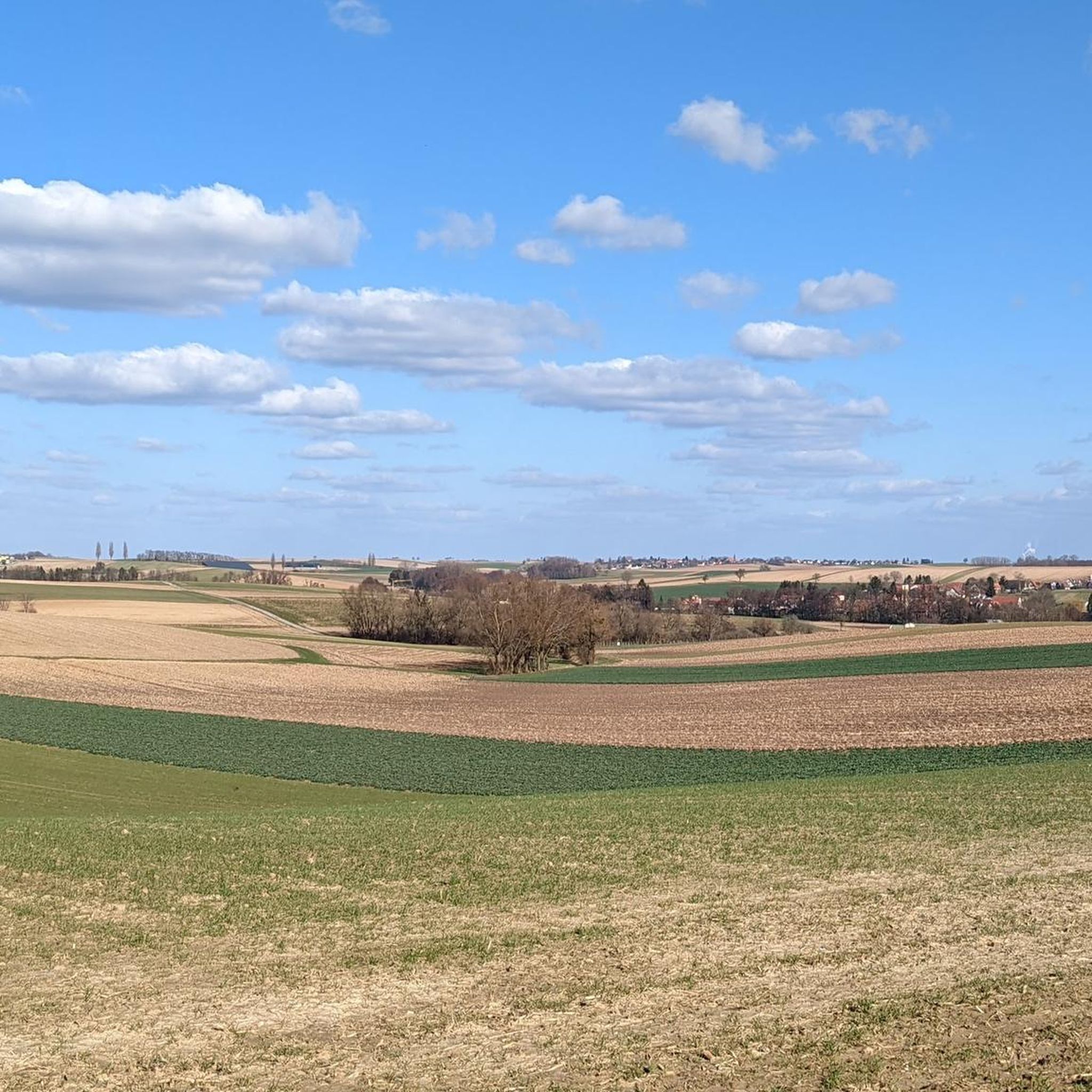
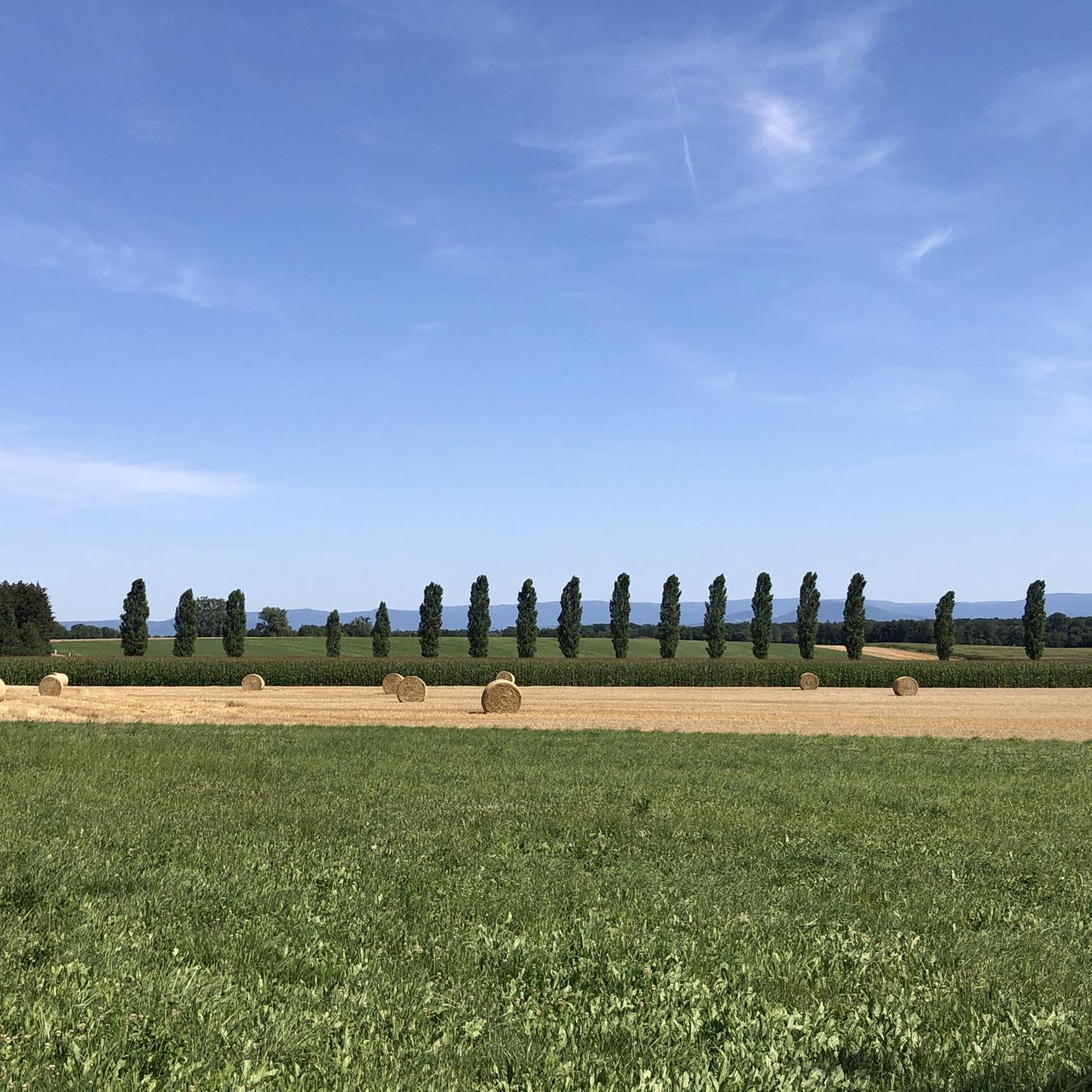
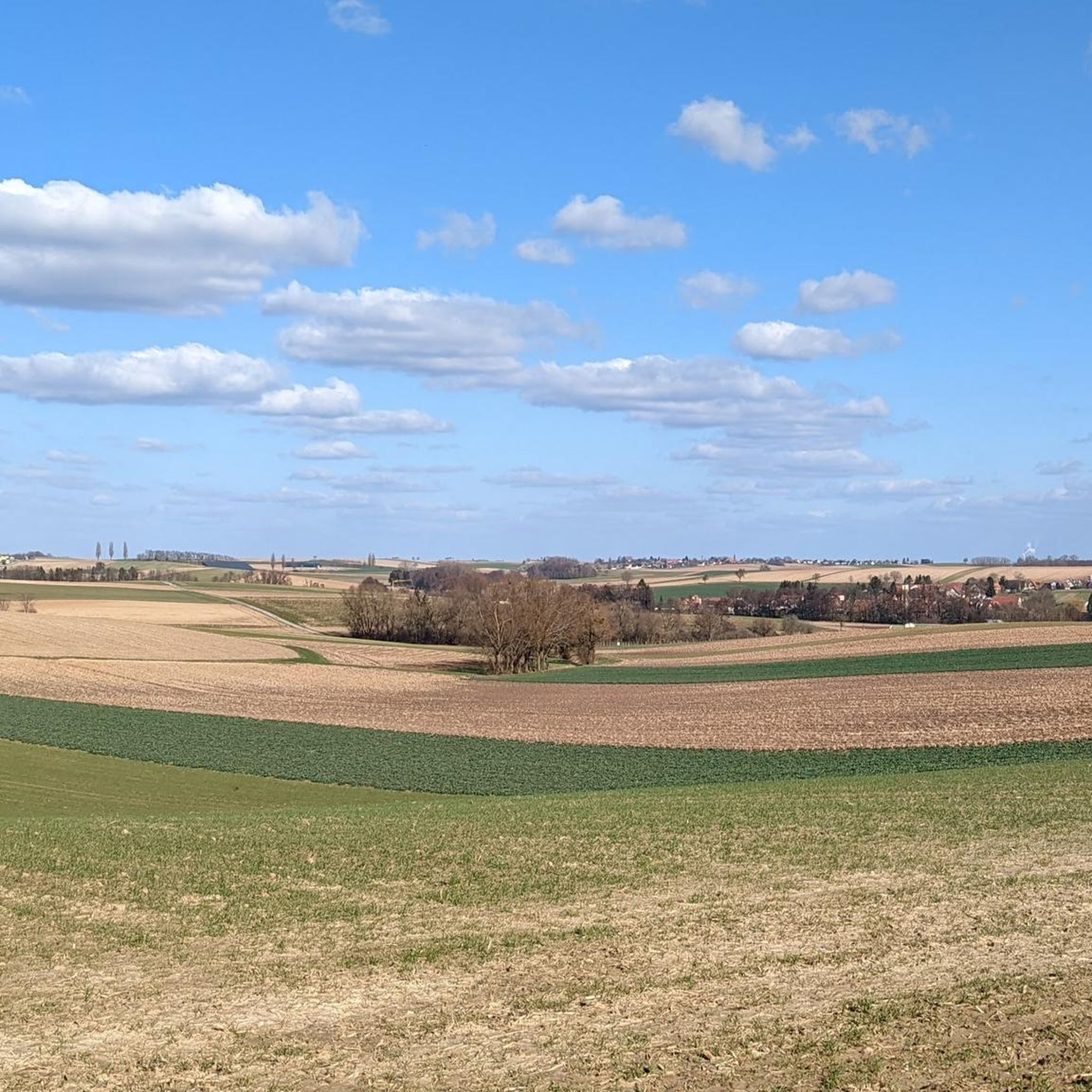
Jogging around Buhl offers a network of routes through a landscape characterized by gentle terrain and open countryside. The region features low elevation changes, making it suitable for various running abilities. Many trails follow former railway lines or wind through agricultural areas and local villages. This setting provides a tranquil environment for outdoor exploration and running.
Best jogging routes around Buhl
- The most popular jogging route is Seltz–Walbourg Rail Trail loop from Niederrœdern, a 5.6 miles (9.0 km) trail…
Last updated: October 3, 2026
24
runners
9.03km
00:56
20m
20m
Moderate run. Good fitness required. Mostly paved surfaces. Suitable for all skill levels.
11
runners
7.68km
00:48
30m
30m
Moderate run. Good fitness required. Mostly paved surfaces. Suitable for all skill levels.

14
runners
Moderate run. Good fitness required. Mostly paved surfaces. Suitable for all skill levels.
8
runners
Moderate run. Good fitness required. Mostly paved surfaces. Suitable for all skill levels.
6
runners
9.72km
01:02
60m
60m
Moderate run. Good fitness required. Mostly paved surfaces. Suitable for all skill levels.
Get access to more routes and recommendations from other explorers.
Already have an account?
Our route recommendations are based on thousands of hikes, rides, and runs completed by other people on komoot.
Start today with a free account
Your next adventure awaits.

Tips from the Community

The railway has served its purpose - and cyclists are happy about it.
0
0

After a few km on this section I got the feeling that it was a former railway line. And right, it was the Seltz - Walbourg route on which a cycle path was created. Wonderful to drive.
0
1

Here there is a church, a bakery, a pizza and milk vending machine and a bicycle shop in a small space. What more do you need on a bike tour?
3
0

The cycle path runs on the former small railway line Seltz-Hatten. In Niederroedern you can still see the sign "Restaurant de la Gare" on the empty house.
4
0

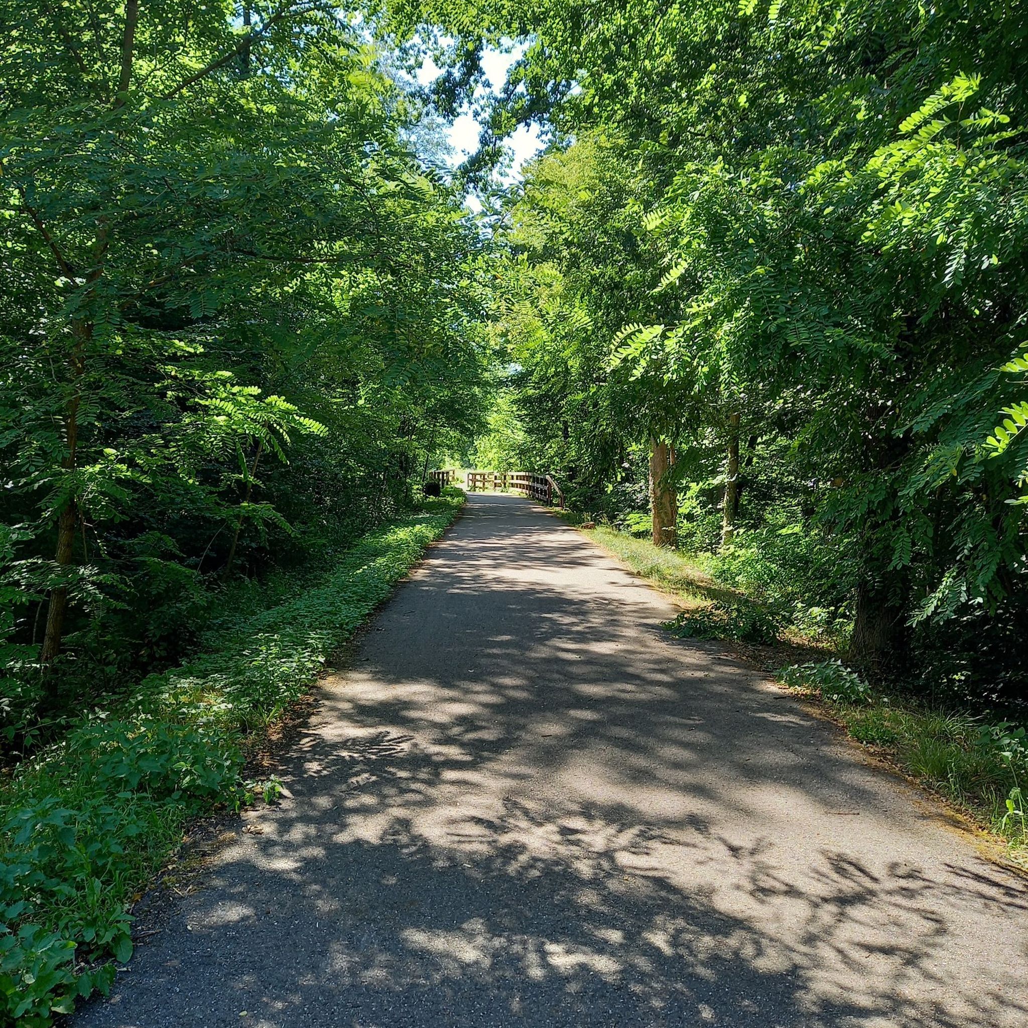
best path quality, shady in the forest. That's fun.
4
1

Alsace became French again between 1648 and 1681, after the Treaties of Westphalia. Under the domination of Louis XIV, the following system was instituted: in Protestant localities where at least seven Catholic families are installed, the choir of the church is assigned to them by order of the King of France. We then speak of simultaneous church by reference to the simultaneum, name of this liturgical regime; the sanctuary becomes mixed and requires the reinstallation of Catholic worship, even in localities with a strong Protestant majority.
4
2

Niederrœdern and the Seltzbach river
2
3
Bike path in the middle of the forest
2
4
Frequently Asked Questions
How many running trails are available around Buhl?
Buhl offers a wide selection of routes for runners, with over 240 trails available. These range from easy paths to more challenging runs, ensuring options for all fitness levels.
What kind of terrain can I expect on the running routes near Buhl?
The running routes around Buhl are characterized by gentle terrain and low elevation changes, making them suitable for various abilities. Many trails follow former railway lines, offering flat and even surfaces, or wind through agricultural areas and local villages. You'll find a mix of easy, moderate, and some more difficult paths.
Are there running routes suitable for families with children in Buhl?
Yes, the gentle terrain and low elevation changes of many routes make them ideal for families. Paths along former railway lines and through agricultural areas are generally flat and easy to navigate, providing a pleasant experience for all ages. There are 23 easy routes available.
Can I bring my dog on the running trails around Buhl?
While the guide data doesn't specify dog-friendly rules for each trail, routes through open countryside and along former railway lines are generally suitable for dogs. It's always recommended to keep your dog on a leash and be mindful of local regulations, especially when passing through agricultural areas or villages.
Are there many circular running routes in the Buhl area?
Yes, several popular routes in Buhl are circular. For example, the Seltz–Walbourg Rail Trail loop from Niederrœdern and the Running loop from Hatten are excellent options for a varied run that brings you back to your starting point.
What are some interesting natural features or landmarks I might see while running in Buhl?
While jogging around Buhl, you can explore various natural and historical points of interest. Notable natural monuments include the Confluence of the Murg and Rhine and the Mouth of the Murg River. You might also encounter historical sites like the Redoubt of the Lauter Line or enjoy views from the Sauer Delta Nature Reserve.
What do other runners enjoy most about jogging in Buhl?
The running routes in Buhl are highly rated by the komoot community, with an average score of 3.96 stars from over 60 reviews. Runners often praise the tranquil environment, the gentle terrain, and the variety of paths that wind through agricultural landscapes and local villages, offering a peaceful outdoor experience.
Are there any easy running routes for beginners in Buhl?
Absolutely. Buhl offers 23 easy running routes, many of which follow flat former railway lines or quiet paths through open countryside. These are perfect for beginners or those looking for a relaxed run without significant elevation changes.
What is a good moderate-distance running route in Buhl?
A popular moderate-distance option is the Church of Saint James the Greater – Niederrödern loop from Niederrœdern. This route covers about 6.4 miles (10.3 km) and takes approximately 1 hour 4 minutes to complete, leading you through local villages and open fields.
Are there any longer running routes for more advanced runners?
While Buhl is known for its gentle terrain, you can combine routes or explore some of the longer moderate trails to extend your run. The Church of Saint James the Greater – Niederrödern loop from Niederrœdern, at over 10 km, provides a good distance, and there are 25 difficult routes available for those seeking a greater challenge.
What are the typical surfaces of the running trails in Buhl?
You'll find a variety of surfaces, including paved sections on former railway lines, gravel paths through agricultural areas, and natural trails through fields and along village roads. The region's focus on low elevation changes means surfaces are generally well-maintained and suitable for running.
Is there public transport access to the running routes in Buhl?
The guide data does not specify direct public transport links to every trailhead. However, given that many routes connect local villages, it's likely that some starting points are accessible via local bus services. It's advisable to check local public transport schedules for specific villages like Niederrœdern or Hatten.
Are there any viewpoints along the running trails in Buhl?
Yes, some routes offer scenic viewpoints, particularly those that traverse open countryside or pass by natural reserves. For instance, the Sauer Delta Nature Reserve is a notable viewpoint in the area, offering expansive views of the landscape.
Most popular attractions around Buhl

Get inspired with the komoot mobile app


Explore more
Browse the best Running Trails & Routes in other regions.
