The best walks and hikes around Mantallot
4.5
(371)
1,399
hikers
77
hikes
Hiking around Mantallot offers trails through gentle river valleys and past tranquil ponds. The region is characterized by its low elevation changes, making it suitable for accessible walking. Paths often follow water features, providing varied scenery without significant climbs. The landscape primarily consists of rural areas with a mix of open fields and some wooded sections.
Best hiking trails around Mantallot
- The most popular hiking route is Jaudy Valley loop from La Roche-Derrien, a 5.3 miles (8.5 km) trail…
Last updated: July 2, 2026
4.8
(12)
31
hikers
8.59km
02:16
80m
80m
Moderate hike. Good fitness required. Easily-accessible paths. Suitable for all skill levels.
4.6
(10)
25
hikers
7.06km
01:54
90m
90m
Easy hike. Great for any fitness level. Easily-accessible paths. Suitable for all skill levels.

Sign up for free
5.0
(4)
26
hikers
5.77km
01:32
60m
60m
Easy hike. Great for any fitness level. Easily-accessible paths. Suitable for all skill levels.
5.0
(2)
18
hikers
4.43km
01:10
30m
40m
Easy hike. Great for any fitness level. Easily-accessible paths. Suitable for all skill levels.
5.0
(1)
9
hikers
5.80km
01:32
50m
50m
Easy hike. Great for any fitness level. Easily-accessible paths. Suitable for all skill levels.
Get access to more routes and recommendations from other explorers.
Sign up for free
Already have an account?
Our route recommendations are based on thousands of hikes, rides, and runs completed by other people on komoot.
Start today with a free account
Your next adventure awaits.
Login or Signup
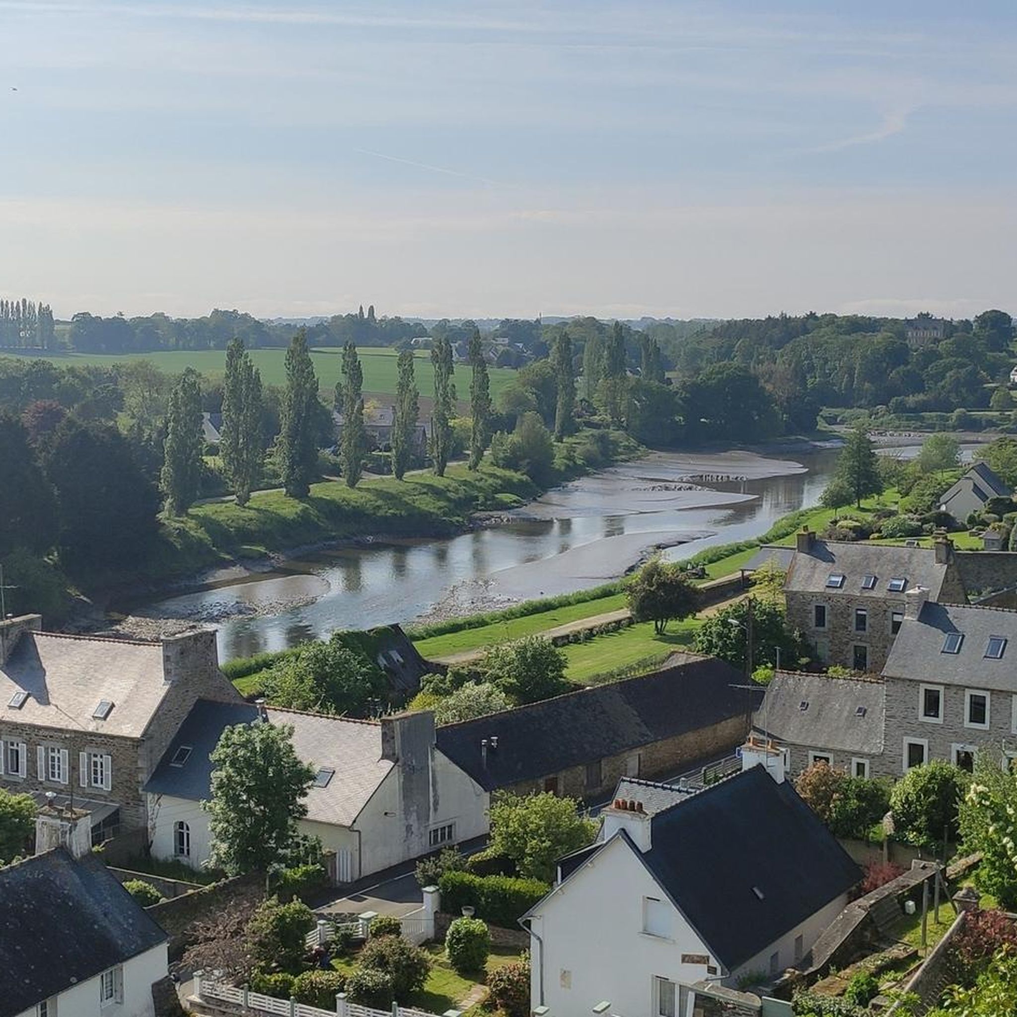
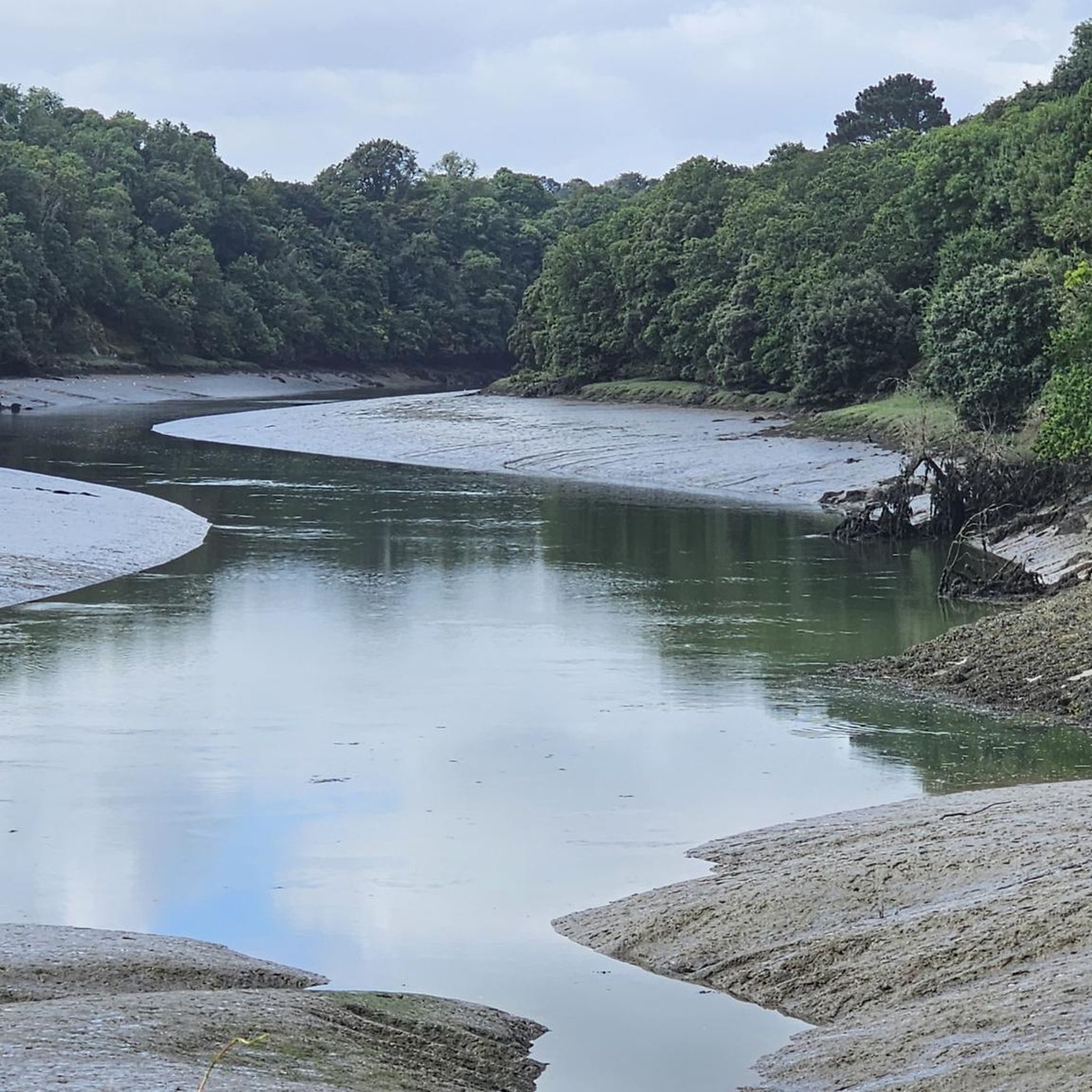



Tips from the Community

Nice hike, but they had to change a little because a bridge (probably because of renovation work) was missing .....
1
0
Nice hike, they had to change a little because a bridge (probably because of renovation work) was missing.
1
0

Even a hike inland is rewarding.
2
0
Frequently Asked Questions
How many hiking trails are available around Mantallot?
Mantallot offers a wide selection of hiking trails, with over 60 routes to explore. These include a good mix of easy and moderate paths, ensuring options for various fitness levels.
Are there easy hikes suitable for beginners or families in Mantallot?
Yes, Mantallot is ideal for beginners and families, with over 35 easy routes. The region is known for its low elevation changes, making trails accessible. A great option is the Jaudy Valley loop from Bonne Nouvelle, an easy 4.4-mile (7.1 km) path that follows the scenic Jaudy Valley.
What kind of scenery can I expect on Mantallot's hiking trails?
The trails around Mantallot primarily feature gentle river valleys, tranquil ponds, and rural landscapes. You'll often find yourself walking through open fields and some wooded sections, with paths frequently following water features like the Jaudy River.
Are there any circular walks in Mantallot?
Many of the hiking routes in Mantallot are circular, offering convenient starting and ending points. For example, the Jaudy Valley loop from La Roche-Derrien is a popular moderate circular trail covering 5.3 miles (8.5 km).
What are some interesting landmarks or attractions near the hiking trails?
While hiking, you can discover several points of interest. Consider visiting the historic Place du Martray or the picturesque Saint-François Footbridge. Further afield, the impressive Tonquédec Castle is also within reach.
What do other hikers enjoy most about Mantallot's trails?
The komoot community highly rates Mantallot's trails, with an average score of 4.5 stars from over 300 reviews. Hikers often praise the region's accessible paths, varied scenery along river valleys and ponds, and the overall peaceful rural atmosphere.
Are Mantallot's hiking trails dog-friendly?
Generally, dogs are welcome on public hiking paths in rural areas like Mantallot, provided they are kept under control, especially near livestock or in nature reserves. Always ensure to clean up after your pet.
What is the best time of year to go hiking in Mantallot?
The spring and autumn months typically offer the most pleasant hiking conditions in Mantallot, with mild temperatures and beautiful natural colors. Summer is also popular, though it can be warmer, while winter hikes are possible but may require appropriate gear for cooler, potentially wetter weather.
Are there any cafes or places to eat near the hiking paths?
While specific cafes directly on the trails are rare, many of the loop routes start or pass through villages like La Roche-Derrien or Langoat, where you can find local establishments for refreshments or a meal before or after your hike.
Are there any longer, more challenging hikes in Mantallot?
While Mantallot is known for its gentle terrain, there are a couple of more challenging routes available for those seeking a bit more adventure. These routes still feature the region's characteristic river valleys and ponds but may include slightly longer distances or more varied terrain.
Is there a hike that focuses on the Langoat pond area?
Yes, for a pleasant walk around the Langoat pond, consider the Martray Square – Langoat pond loop from La Roche-Derrien. This 3.4-mile (5.4 km) trail offers lovely pond-side views and is typically completed in about 1 hour 26 minutes.
Most popular routes around Mantallot
Most popular attractions around Mantallot

Get inspired with the komoot mobile app


Explore more
Browse the best Hikes in other regions.
