The best running trails around Loperhet
4.2
(69)
2,545
runners
35
runs
Jogging routes Loperhet offer diverse terrain across the Plougastel peninsula, situated between the Élorn river and the Roadstead of Brest. The region features varied elevations, ranging from 58 to 162 meters above sea level, providing a mix of flatter and more challenging inclines. Proximity to the Armorique Regional Natural Park and the Vallon du Stang-Alar botanical conservatory contributes to a landscape rich in natural features.
Best jogging routes around Loperhet
- The most popular jogging route is Moulin de Penfoul –…
Last updated: July 8, 2026
4.5
(4)
51
runners
12.4km
01:26
110m
110m
Moderate run. Good fitness required. Mostly paved surfaces. Suitable for all skill levels.
3.0
(1)
24
runners
7.77km
00:53
60m
60m
Moderate run. Good fitness required. Mostly paved surfaces. Suitable for all skill levels.

Sign up for free
24
runners
10.7km
01:18
170m
170m
Moderate run. Good fitness required. Mostly paved surfaces. Suitable for all skill levels.
34
runners
16.6km
01:59
370m
370m
Hard run. Very good fitness required. Mostly paved surfaces. Suitable for all skill levels.
20
runners
27.3km
03:07
380m
380m
Hard run. Very good fitness required. Mostly paved surfaces. Suitable for all skill levels.
Get access to more routes and recommendations from other explorers.
Sign up for free
Already have an account?
Our route recommendations are based on thousands of hikes, rides, and runs completed by other people on komoot.
Start today with a free account
Your next adventure awaits.
Login or Signup
Tips from the Community

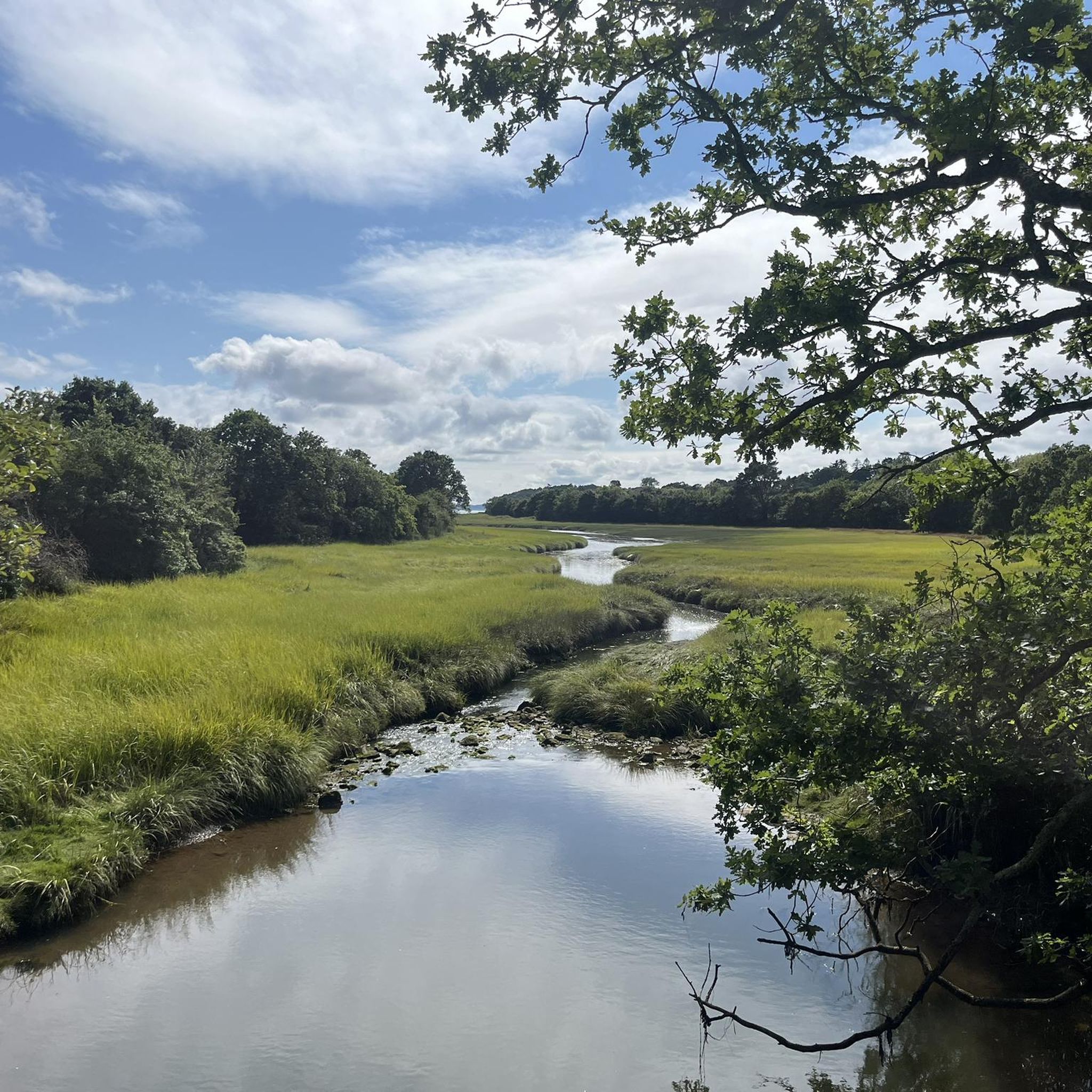
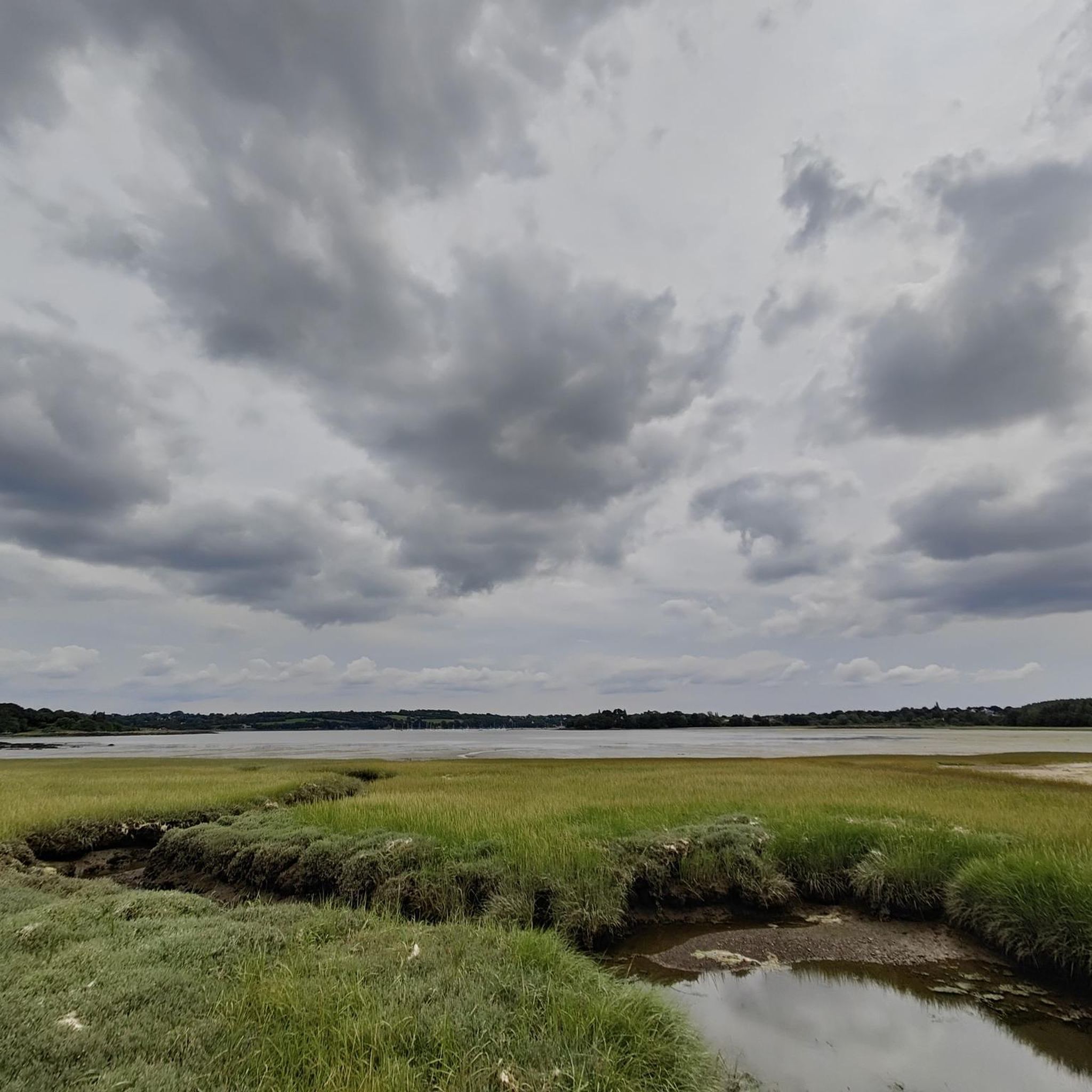
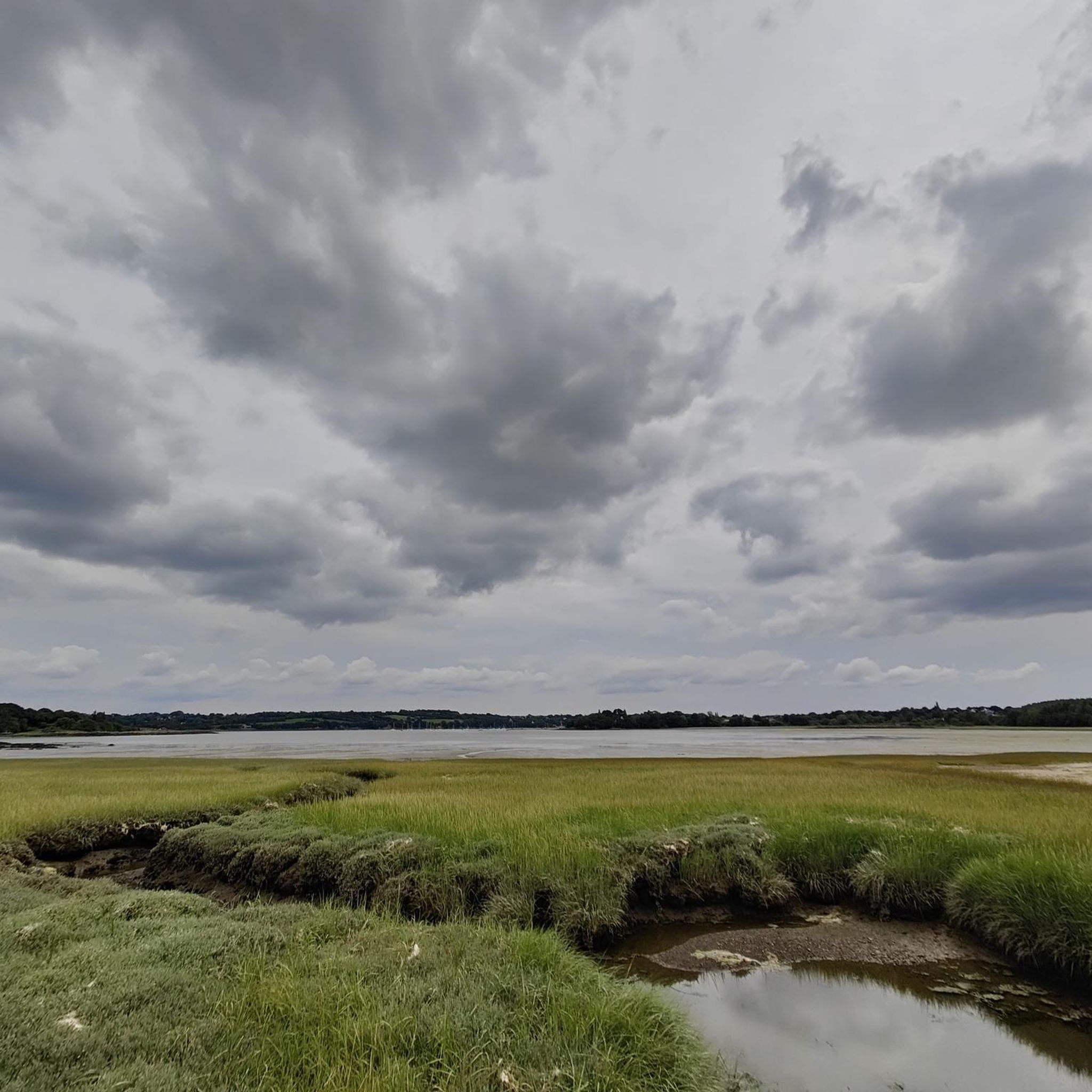
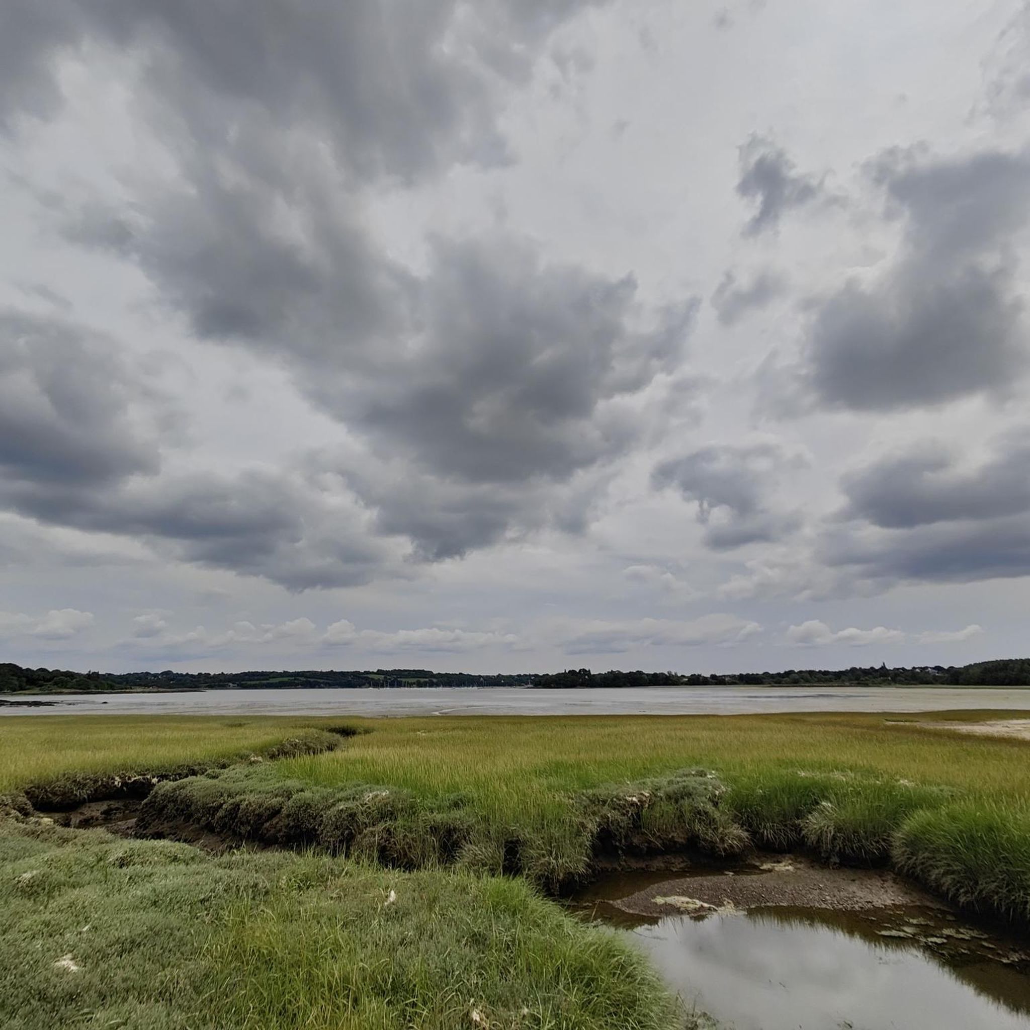
Quiet path along the brackish waters of the mouth of the Elorn, between sea and river.
0
0

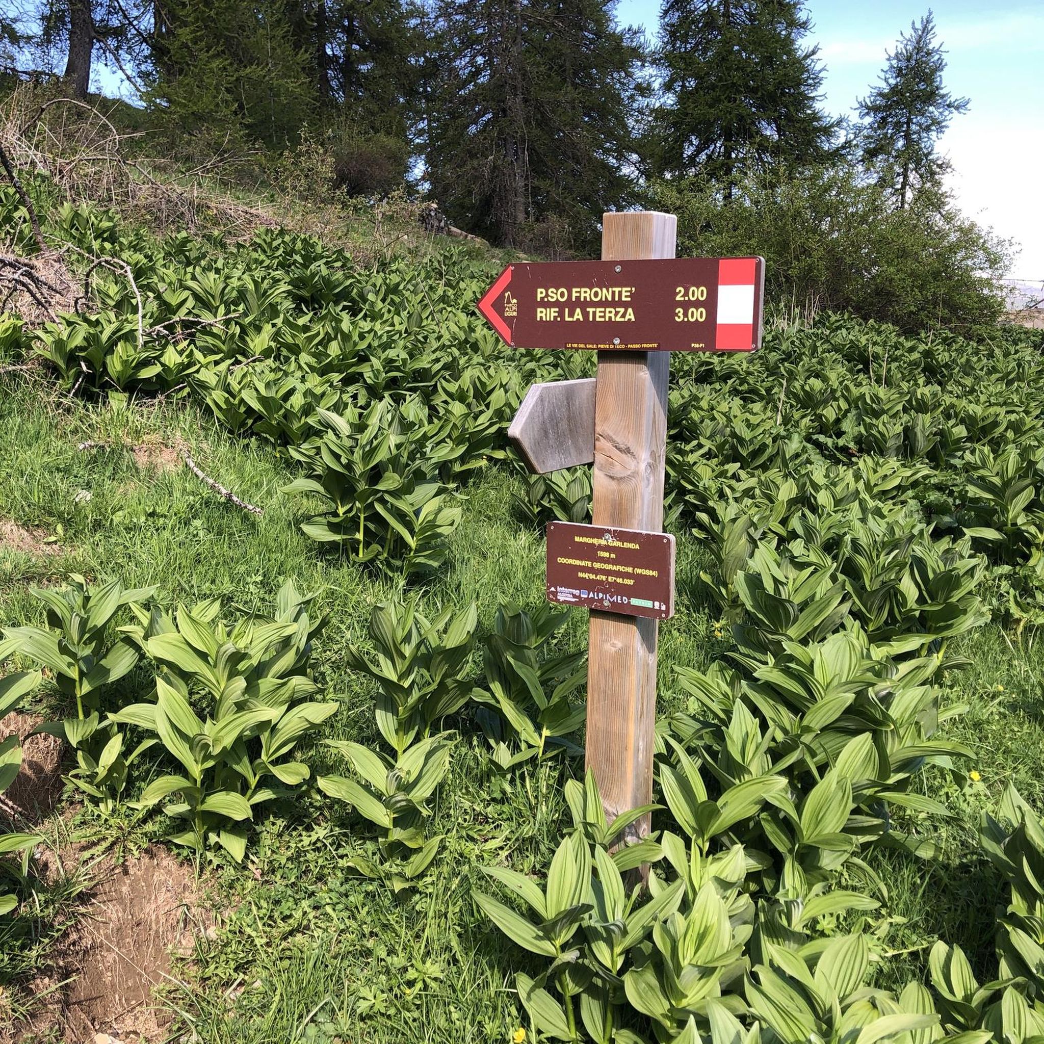
Magic ! A long walk in the forest which leads to the most emblematic rock of the Plougastel-Daoulas peninsula, at the top of which the view is breathtaking.
1
0
Frequently Asked Questions
How many running routes are available around Loperhet?
Loperhet offers a wide selection of running routes, with over 35 trails available. These include a mix of easy, moderate, and difficult options to suit various fitness levels.
Are there any easy jogging routes suitable for beginners or a relaxed run?
Yes, while most routes are moderate, there is at least one easy jogging route available. These paths typically feature gentle terrain, making them ideal for beginners or those looking for a less strenuous run.
What kind of natural features can I expect to see on the running trails in Loperhet?
Jogging routes in Loperhet offer diverse natural features. You can expect coastal views along the Élorn river and the Roadstead of Brest, varied elevations, and access to natural parks. The National Botanical Conservatory of Vallon du Stang-Alar, for example, features a meandering stream, ponds, and even a waterfall amidst diverse tree collections.
Are there any running routes that offer panoramic views?
Absolutely. The historic Albert Louppe Bridge, also known as the Plougastel Bridge, provides magnificent panoramic views of the bay. A route like the Albert Louppe Bridge loop from Kersimon incorporates this scenic section, which is safely accessible to pedestrians and cyclists.
Are there any family-friendly running trails in Loperhet?
While specific 'family-friendly' designations aren't always explicit, routes with mostly paved surfaces and moderate difficulty, such as the Moulin de Penfoul – Pors Donn loop from Loperhet, can be suitable for families. The National Botanical Conservatory of Vallon du Stang-Alar also offers wide, stabilized paths that are pleasant for a family jog.
What do other runners say about the jogging experience in Loperhet?
The running routes in Loperhet are highly rated by the komoot community, with an average score of 4.2 stars from over 60 reviews. More than 2500 runners have used komoot to explore the varied terrain, often praising the diverse landscapes and well-maintained paths.
Are there any circular running routes around Loperhet?
Yes, many of the running routes in Loperhet are designed as loops, offering convenient circular paths. Examples include the Running loop from Coat ar Poulin and the Bas du Bois de Kérérault loop from Gorrequer Traon Elorn, allowing you to start and finish at the same point.
Can I find challenging running trails in Loperhet?
For those seeking a more challenging run, Loperhet offers several difficult routes. The Penfoul River loop from Dirinon-Loperhet, for instance, is a longer and more demanding trail with significant elevation changes, perfect for experienced runners.
Are there any specific landmarks or points of interest along the running routes?
Beyond the natural beauty, you can encounter notable landmarks. The Albert Louppe Bridge is a prominent feature, offering historical significance and stunning views. The National Botanical Conservatory of Vallon du Stang-Alar is also a unique highlight with its diverse plant collections and tranquil setting.
What is the typical terrain like on Loperhet's running trails?
The terrain varies across Loperhet's running trails. You'll find a mix of mostly paved surfaces, as seen on the Moulin de Penfoul – Pors Donn loop, as well as forest trails and paths with varied elevations, ranging from 58 to 162 meters above sea level. This provides a good balance of flatter sections and more challenging inclines.
Is Loperhet close to any larger natural parks for extended running adventures?
Yes, Loperhet is conveniently located just 8 kilometers from the extensive Armorique Regional Natural Park. This proximity offers opportunities for longer running adventures and exploration beyond the immediate Loperhet area, providing even more diverse landscapes and trails.
Most popular attractions around Loperhet

Get inspired with the komoot mobile app


Explore more
Browse the best Running Trails & Routes in other regions.
