The best walks and hikes around La Forêt-Sainte-Croix
4.7
(113)
532
hikers
59
hikes
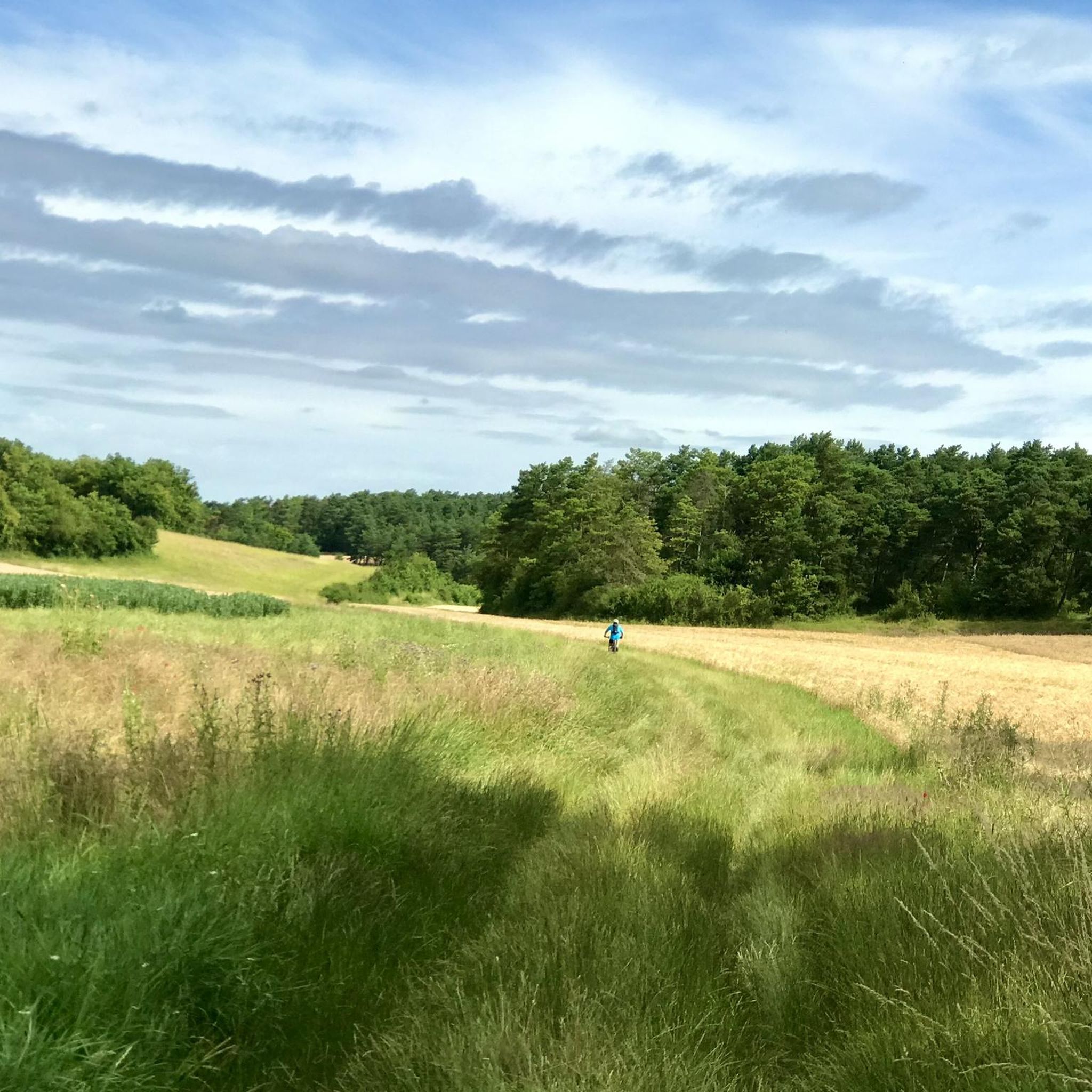
Hiking around La Forêt-Sainte-Croix offers a varied experience through the Essonne department of the Île-de-France region. The area is characterized by a mix of extensive agricultural fields and significant wooded landscapes, situated at elevations between 99 and 144 meters. Trails often traverse open plains, shaded forest paths, and follow river valleys such as the Essonne and Juine, providing diverse ecosystems. This rural setting borders the Beauce plateau and the Gâtinais region, offering a tranquil environment for outdoor activities.
Best hiking trails around La Forêt-Sainte-Croix
- The most popular hiking route is Super nice planted bridge loop from Ormoy-la-Rivière, a 7.6 miles (12.2 km) trail that takes 3 hours 18 minutes to complete. This moderate route explores the local countryside and wooded sections.
- Another top favourite among local hikers is Chemin des roches loop from Bouville, a moderate 6.8 miles (10.9 km) path. This trail features varied terrain, including sections with small rock formations.
- Local hikers also love the The descent of the toadstools loop from Bouville, a 6.0 miles (9.7 km) trail leading through wooded areas and open fields, often completed in about 2 hours 39 minutes.
- Hiking around La Forêt-Sainte-Croix is defined by extensive agricultural fields, significant wooded areas, and river valleys. The network offers options for easy, moderate, and challenging ability levels.
- The routes in La Forêt-Sainte-Croix are highly rated by the komoot community with an average score of 4.7 stars from over 90 reviews. More than 400 hikers have used komoot to explore La Forêt-Sainte-Croix's varied terrain.
Last updated: July 18, 2026
4.5
(2)
20
hikers
12.2km
03:18
160m
160m
Moderate hike. Good fitness required. Easily-accessible paths. Suitable for all skill levels.
5.0
(1)
9
hikers
11.6km
03:06
120m
120m
Moderate hike. Good fitness required. Easily-accessible paths. Suitable for all skill levels.

Sign up for free
4.8
(4)
18
hikers
9.80km
02:41
120m
130m
Moderate hike. Good fitness required. Mostly accessible paths. Sure-footedness required.
5.0
(1)
12
hikers
13.1km
03:32
170m
170m
Moderate hike. Good fitness required. Easily-accessible paths. Suitable for all skill levels.
5.0
(1)
10
hikers
16.0km
04:16
170m
170m
Moderate hike. Good fitness required. Easily-accessible paths. Suitable for all skill levels.
Get access to more routes and recommendations from other explorers.
Sign up for free
Already have an account?
Our route recommendations are based on thousands of hikes, rides, and runs completed by other people on komoot.
Start today with a free account
Your next adventure awaits.
Login or Signup



Tips from the Community

The Beauvais farmhouse dates from the 15th century and the St Martin church from the 12th century.
0
0
Village located in the hollow of dry valleys and its St-Martin Church dating back 1000 years.
0
0

Very pretty little spot for a picnic
1
0
Pretty village with its 11th century church.
0
0


super single style descent between the fir trees and rocks with small technical parts super nice to do absolutely
0
0
Frequently Asked Questions
How many hiking trails are available in La Forêt-Sainte-Croix?
There are over 60 hiking trails in La Forêt-Sainte-Croix, offering a diverse range of experiences through the Essonne department. These routes are suitable for various ability levels, from easy strolls to more challenging treks.
What kind of terrain can I expect on hikes around La Forêt-Sainte-Croix?
Hikes in La Forêt-Sainte-Croix feature a mix of extensive agricultural fields, significant wooded landscapes, and paths following river valleys such as the Essonne and Juine. You'll encounter varied ecosystems and tranquil rural settings bordering the Beauce plateau and the Gâtinais region.
What do other hikers say about the trails in La Forêt-Sainte-Croix?
The trails in La Forêt-Sainte-Croix are highly rated by the komoot community, with an average score of 4.7 stars from over 90 reviews. Hikers often praise the varied terrain, from open fields to shaded forest paths, and the overall tranquil environment.
Are there easy hiking trails suitable for beginners in La Forêt-Sainte-Croix?
Yes, La Forêt-Sainte-Croix offers 16 easy hiking routes, perfect for beginners or those looking for a relaxed walk. These trails typically have minimal elevation gain and are great for enjoying the local scenery at a leisurely pace.
Can I find challenging hikes in La Forêt-Sainte-Croix?
While the region is known for its moderate trails, there are 5 difficult routes available for experienced hikers seeking more strenuous activity. These trails often feature greater distances and more significant elevation changes.
Are there many circular hiking routes in La Forêt-Sainte-Croix?
Many of the trails in La Forêt-Sainte-Croix are circular routes, allowing you to start and end your hike in the same location. For example, the Super nice planted bridge loop from Ormoy-la-Rivière is a popular moderate option.
What are some notable natural features or landmarks to see on the trails?
While hiking, you can explore diverse landscapes including wooded areas and open fields. For specific points of interest, consider visiting the The Butte du Puits geological site or discovering the Small lake in the rocks. The region also features historical religious buildings like the Collégiale Notre-Dame-du-Fort d'Étampes.
Are there any trails that feature interesting rock formations?
Yes, the Chemin des roches loop from Bouville is a moderate 6.8-mile path that features varied terrain, including sections with small rock formations, offering a unique geological interest.
Are the hiking trails in La Forêt-Sainte-Croix suitable for families?
Many of the easy and moderate trails are suitable for families, offering pleasant walks through varied landscapes. The region's mix of open fields and wooded areas provides a safe and engaging environment for children to explore nature.
What is the best time of year to go hiking in La Forêt-Sainte-Croix?
The best time to hike in La Forêt-Sainte-Croix is generally during spring and autumn when the weather is mild and the natural scenery is vibrant. Summer can also be pleasant, especially in shaded wooded areas, while winter offers a different, quieter experience.
Are there any long-distance hiking options in the area?
While most routes are day hikes, some trails, like the Puiselet-le-Marais loop from Valpuiseaux at over 8 miles, offer longer distances for those looking for an extended trek through the rural landscape.
Can I bring my dog on the hiking trails?
Most trails in La Forêt-Sainte-Croix are dog-friendly, allowing you to enjoy the varied landscapes with your canine companion. It's always recommended to keep dogs on a leash, especially when passing through agricultural fields or near wildlife.
Most popular routes around La Forêt-Sainte-Croix
Most popular attractions around La Forêt-Sainte-Croix

Get inspired with the komoot mobile app


Explore more
Browse the best Hikes in other regions.
