The best walks and hikes around Plouescat
4.8
(211)
1,067
hikers
42
hikes
Hiking around Plouescat offers diverse landscapes along Brittany's "Côte des Sables." The region features a 13-kilometer coastline with fine sandy beaches, extensive dune systems like the Keremma dunes, and unique granite rock formations. Inland, trails lead through countryside, small villages, and converted railway lines, providing varied perspectives of the Breton landscape.
Best hiking trails around Plouescat
- The most popular hiking route is Roc'h Men Goubars – Porsmeur Beach loop from Pors Ar Stréat, a 6.7 miles (10.7 km) trail…
Last updated: July 9, 2026
4.8
(14)
54
hikers
10.7km
02:45
50m
50m
Moderate hike. Good fitness required. Easily-accessible paths. Suitable for all skill levels.
4.5
(15)
94
hikers
14.4km
03:41
50m
50m
Moderate hike. Good fitness required. Easily-accessible paths. Suitable for all skill levels.

Sign up for free
4.9
(12)
76
hikers
9.23km
02:21
20m
20m
Moderate hike. Good fitness required. Easily-accessible paths. Suitable for all skill levels.
4.5
(12)
44
hikers
6.90km
01:46
30m
30m
Easy hike. Great for any fitness level. Easily-accessible paths. Suitable for all skill levels.
4.6
(18)
72
hikers
11.1km
02:51
50m
50m
Moderate hike. Good fitness required. Easily-accessible paths. Suitable for all skill levels.
Get access to more routes and recommendations from other explorers.
Sign up for free
Already have an account?
Our route recommendations are based on thousands of hikes, rides, and runs completed by other people on komoot.
Start today with a free account
Your next adventure awaits.
Login or Signup
Other adventures around Plouescat

Tips from the Community


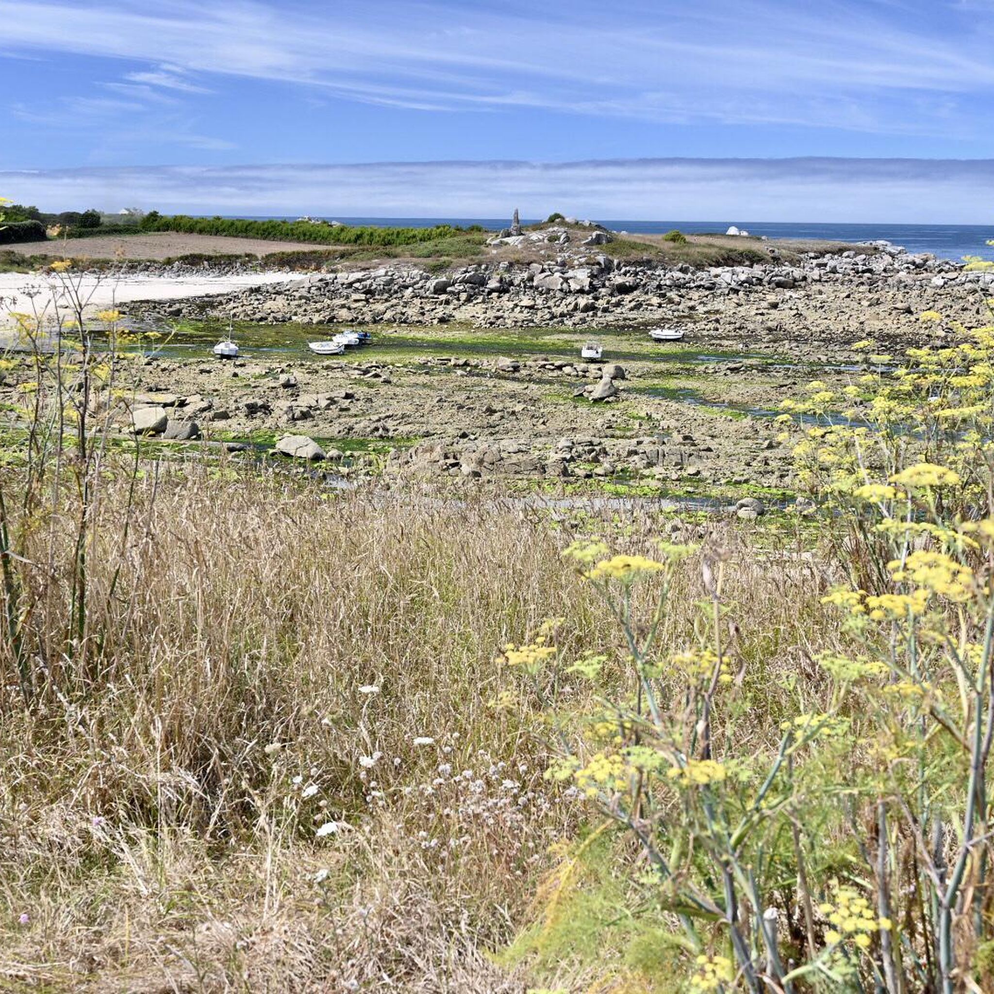
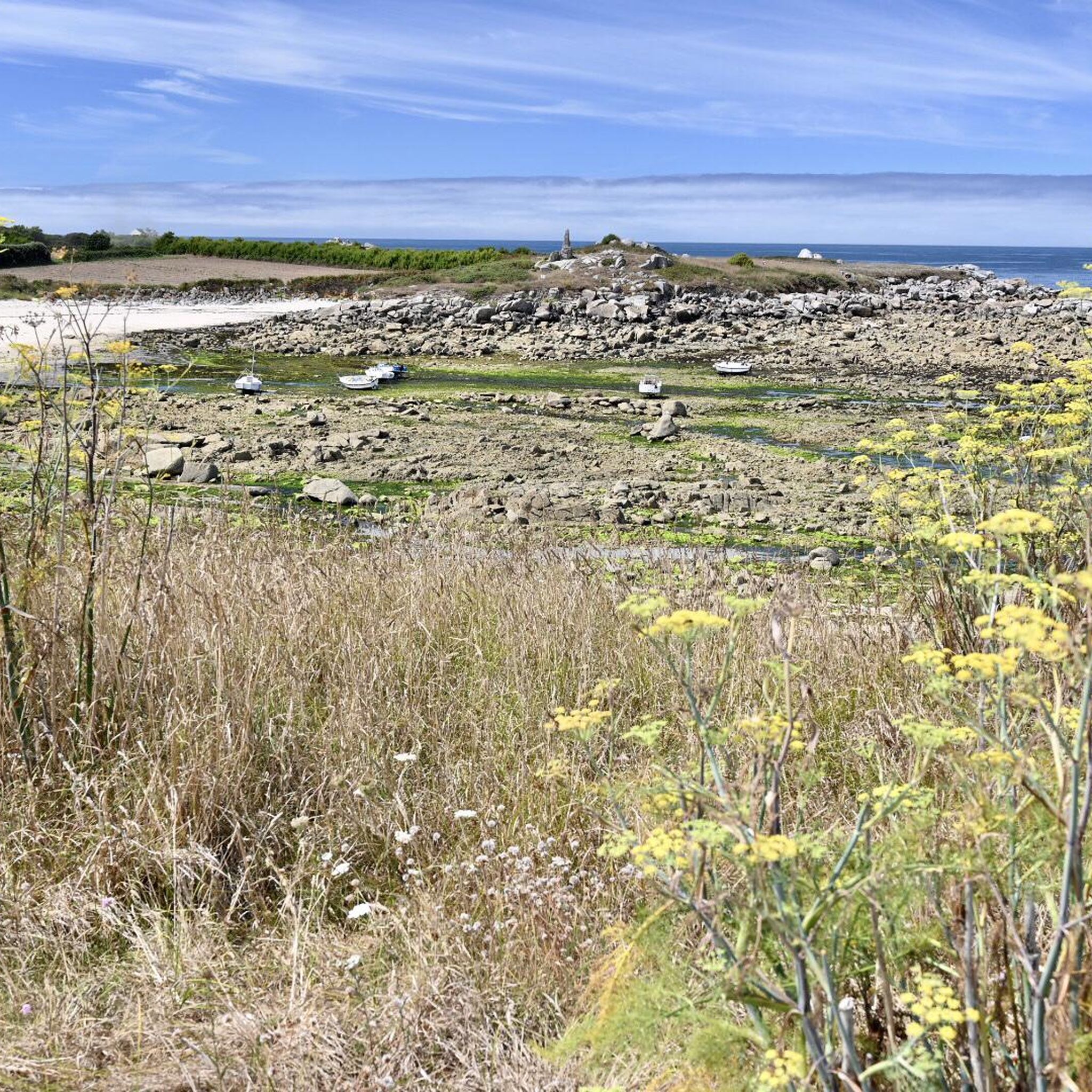
Truly beautiful views of the bay and the headland with dunes extending from Keremma Beach. We were there at high tide and could see how the bay fills with strong currents. The bay is dry at low tide, apparently perfect for sand yachts.
0
0

The Roc‘h Men Goubars, or the shaking rock, is a true curiosity of nature.
0
0

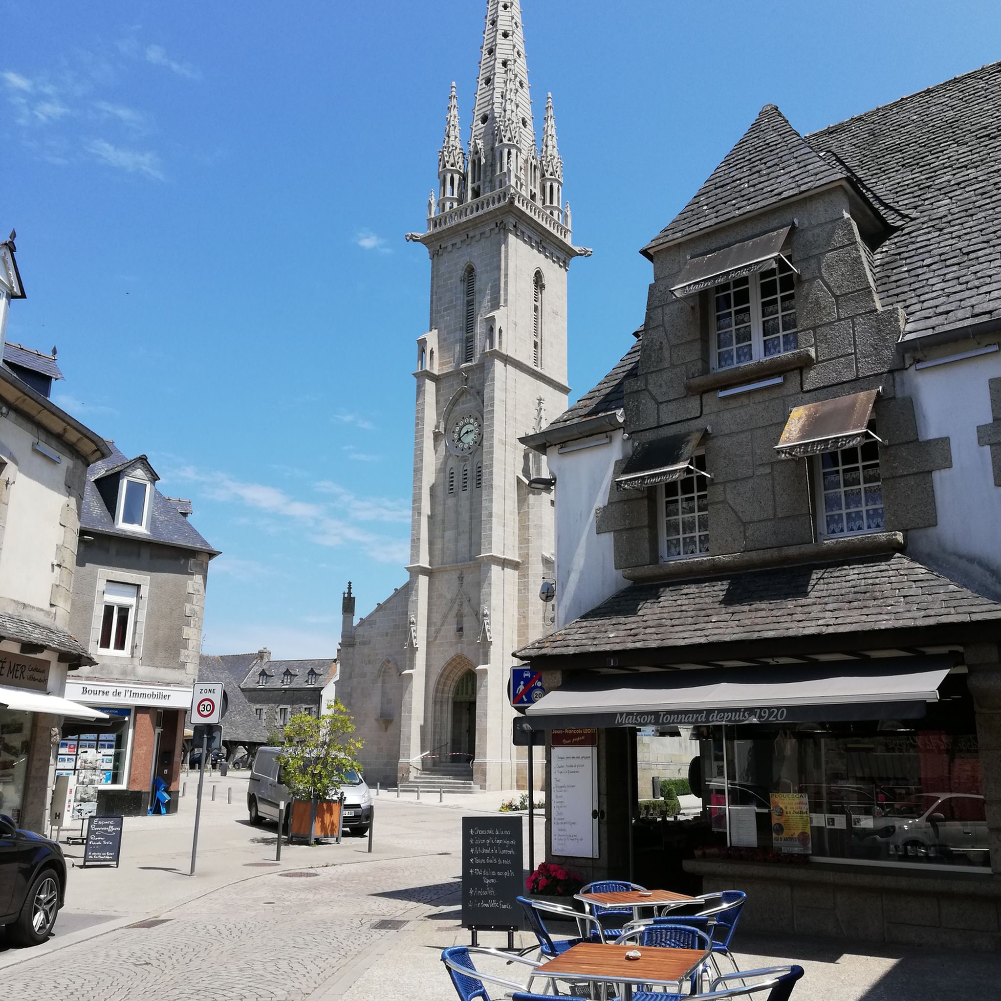
Market hall from the 15th/16th century, the oldest and most representative of the three old halls that exist in Brittany.
1
0

This path can be explored by bike or on foot
1
0

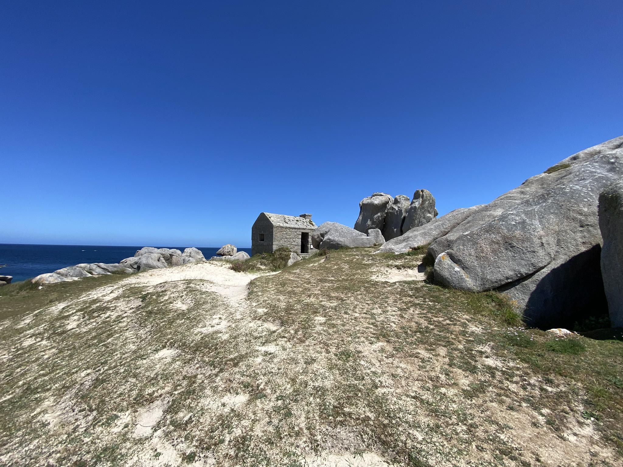
Small house on the Zöllnerpfad, can also be used as a shelter when it rains, as it is open.
0
0

The exclusive location of this house never fails to impress. What must it be like to be there during a storm surge 🤔
0
0
The Circuit des Korrigans is a short hike near Saint Eden with nice paths in the hinterland and the highlight, the Menhir du Camp Louis.
1
0
Frequently Asked Questions
What types of landscapes can I expect to see while hiking in Plouescat?
Plouescat, located on Brittany's "Côte des Sables," offers a diverse range of landscapes. You'll encounter fine sandy beaches, extensive dune systems like the vast Keremma dunes, and impressive granite rock formations sculpted by the sea and wind. Inland, trails lead through the countryside, small villages, and along old railway lines converted into greenways, providing a different perspective of the Breton landscape.
Are there hiking trails suitable for families with children in Plouescat?
Yes, Plouescat offers several easy and family-friendly hiking options. Many coastal paths are relatively flat and accessible. For example, the Menhir of Cam-Luis – Colossus in the Heider loop from Menfig is an easy 6.9 km route that takes about 1 hour 45 minutes, perfect for a leisurely family outing. These trails often provide opportunities to explore beaches and unique rock formations.
Can I bring my dog on the hiking trails in Plouescat?
Generally, dogs are welcome on many hiking trails in Plouescat, especially on the coastal paths and inland routes. However, it's always advisable to keep them on a leash, particularly in protected natural areas like the Keremma dunes, where sensitive flora and birdlife are present. Please also be mindful of local regulations regarding dogs on beaches, which can vary by season.
What historical or natural landmarks can I discover along the hiking routes?
Plouescat's trails are rich with points of interest. You can encounter ancient megaliths such as the Menhir of Cam-Luis and the impressive Menhir of Men Marz. The coastline features unique granite formations like the Dachshund Rock at Crémiou and La Roche Tremblante – Roc'h Men Goubars. You might also spot the Porsmeur Seahorse, a distinctive coastal landmark.
Are there circular hiking routes available in Plouescat?
Yes, many of the hiking routes in Plouescat are designed as circular loops, allowing you to start and end at the same point. Examples include the popular Roc'h Men Goubars – Porsmeur Beach loop from Pors Ar Stréat (10.7 km) and the longer Menhir of Cam-Luis – Roc'h Men Goubars loop from Penn Ar Porz (14.4 km). These loops offer varied scenery without the need for a return trip.
What is the best time of year to go hiking in Plouescat?
Plouescat offers enjoyable hiking throughout much of the year. Spring and autumn provide pleasant temperatures and fewer crowds, making them ideal for exploring the coastal paths and dunes. Summer is popular for its warm weather, though trails can be busier. Even in winter, the mild Breton climate allows for invigorating walks, especially along the dramatic, windswept coastline.
How many hiking trails are there in Plouescat, and what are their difficulty levels?
There are over 40 hiking trails around Plouescat. The routes cater to various fitness levels, with 26 easy trails, 15 moderate trails, and 2 more challenging routes. This variety ensures that both casual walkers and experienced hikers can find suitable options.
What do other hikers say about the trails in Plouescat?
The hiking trails in Plouescat are highly rated by the komoot community, with an average score of 4.8 stars from nearly 200 reviews. Hikers often praise the stunning coastal scenery, the unique granite formations, and the well-maintained paths that offer a blend of sandy beaches, dunes, and historical elements.
Are there any coastal paths that are part of a longer trail?
Yes, a significant portion of Plouescat's coastline is traversed by the GR34 Coastal Path, also known as the Sentier des Douaniers. This famous trail winds along the entire Brittany coast, offering continuous sea views and opportunities to discover the region's heritage and diverse coastal landscapes. It was even voted "Favorite Trail by the French" in 2017.
Where can I find parking for hiking trailheads in Plouescat?
Many popular trailheads and coastal access points in Plouescat offer designated parking areas. For instance, routes like the Porsmeur Seahorse – Porsmeur Beach loop from Plouescat often have convenient parking nearby. It's advisable to check specific route details for precise parking information, but generally, you'll find options close to beaches and village centers.
What kind of wildlife might I encounter on a hike in Plouescat?
Plouescat's diverse habitats, especially the Keremma dunes and Kernic Bay, are home to a variety of wildlife. The dunes are known for their unique flora, including orchids, and attract numerous bird species such as barnacle geese, shelducks, and herons. Kernic Bay is a significant Natura 2000 site, particularly important for its bird populations at low tide.
Are there any attractions near Plouescat that are worth visiting after a hike?
Absolutely! After your hike, you could visit the Pontusval lighthouse for panoramic views, or explore the charming Ménéham Beach. The Covered Market of Plouescat is also a great place to experience local culture and find regional products.
Most popular routes around Plouescat
Most popular attractions around Plouescat

Get inspired with the komoot mobile app


Explore more
Browse the best Hikes in other regions.
