The best running trails around Bacilly
4.3
(110)
5,404
runners
275
runs
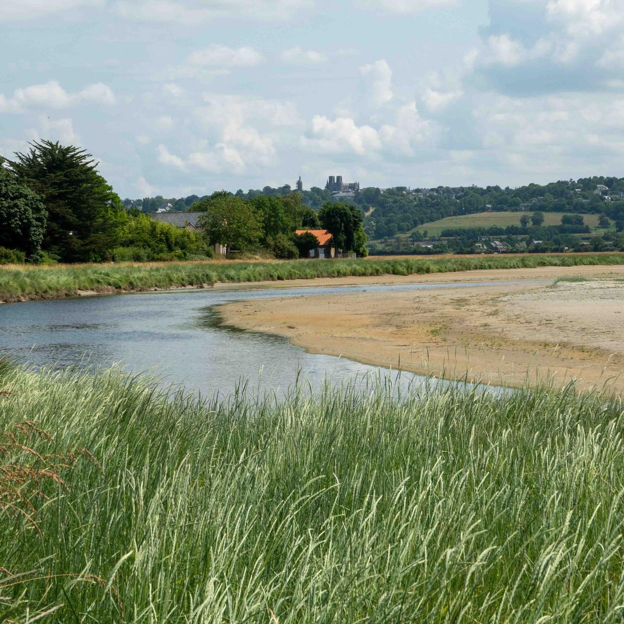
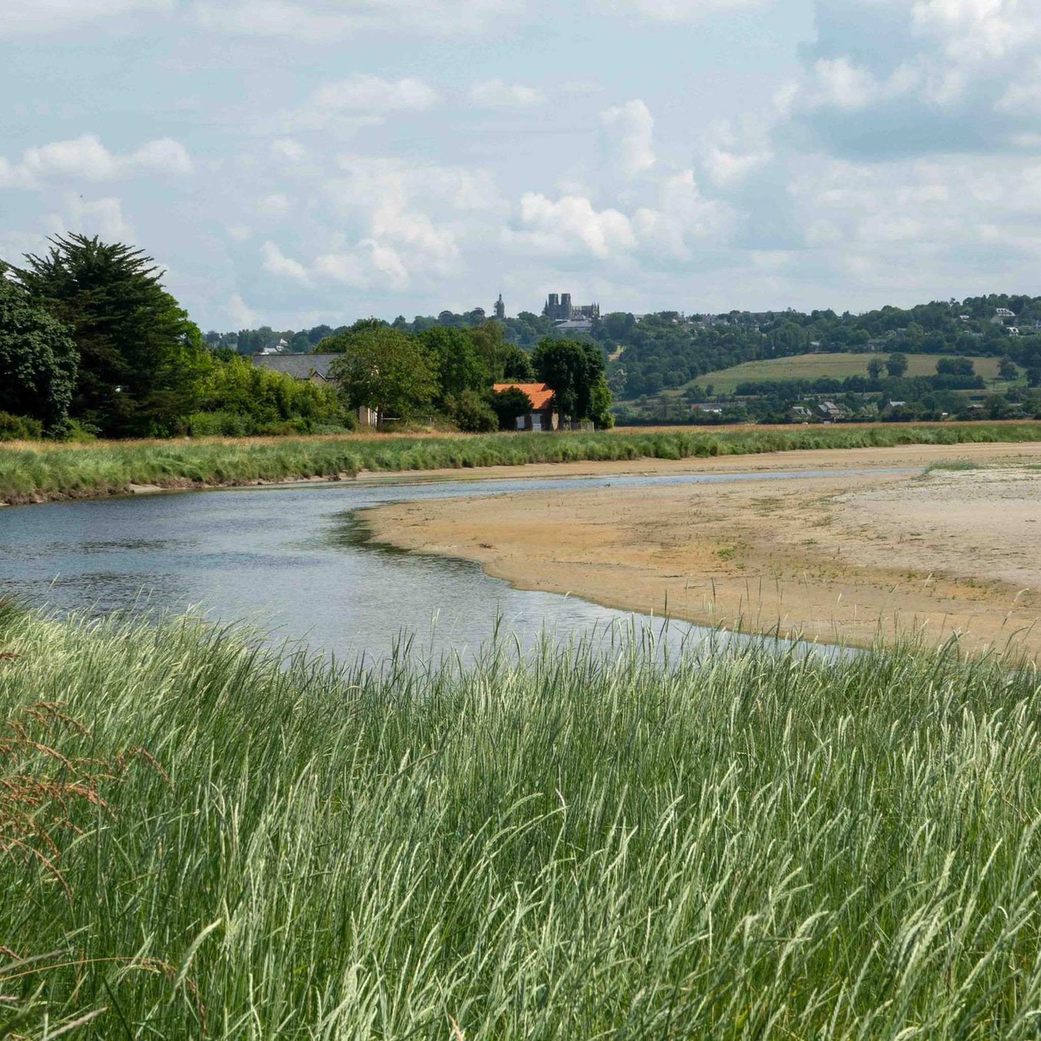
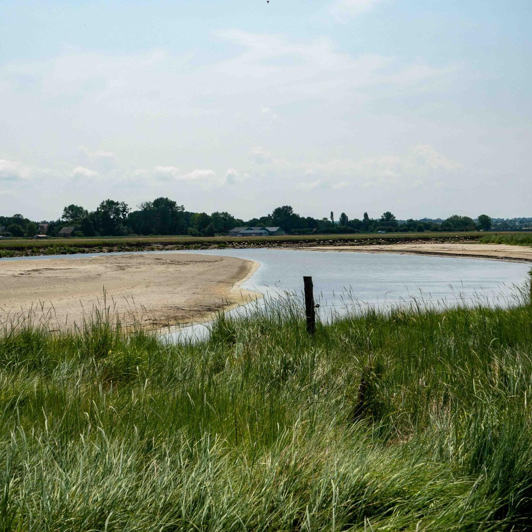
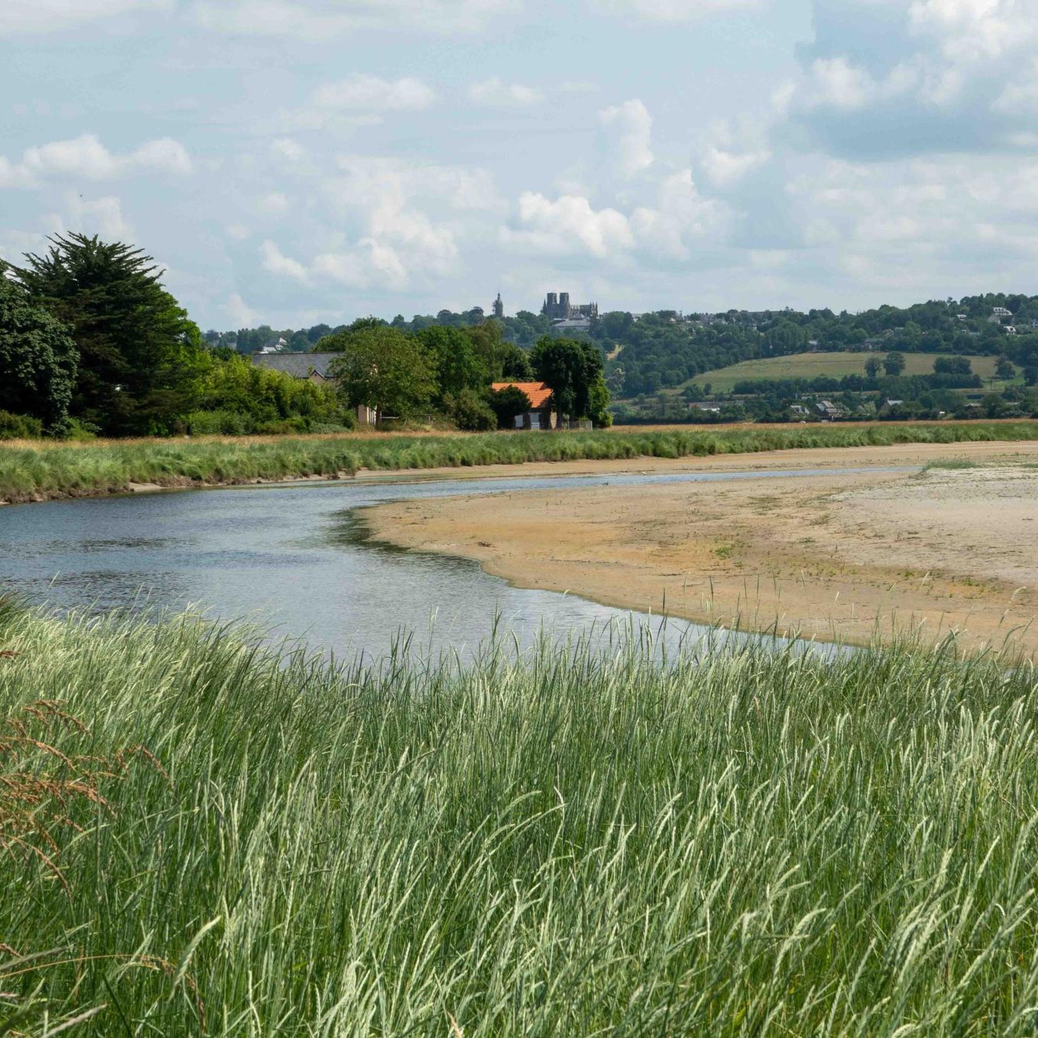
Jogging routes around Bacilly offer a variety of terrain, primarily characterized by coastal paths and views of Mont Saint-Michel Bay. The region features relatively flat landscapes with gentle elevation changes, making it suitable for various running abilities. Many routes traverse open countryside and provide scenic vistas.
Best jogging routes around Bacilly
- The most popular jogging route is View of Mont Saint-Michel Bay – View of Mont Saint Michel loop from Vains, a 5.3 miles (8.6 km) trail that takes…
Last updated: July 5, 2026
22
runners
17.8km
01:59
100m
100m
Hard run. Very good fitness required. Mostly paved surfaces. Suitable for all skill levels.
4.0
(1)
10
runners
Moderate run. Good fitness required. Mostly paved surfaces. Suitable for all skill levels.

Sign up for free
17
runners
43.4km
05:01
400m
400m
Hard run. Very good fitness required. Mostly accessible paths. Some sure footedness required.
7
runners
50.0km
05:35
140m
140m
Hard run. Very good fitness required. Mostly accessible paths. Some sure footedness required.
9
runners
10.7km
01:09
70m
70m
Moderate run. Good fitness required. Mostly paved surfaces. Suitable for all skill levels.
Get access to more routes and recommendations from other explorers.
Sign up for free
Already have an account?
Our route recommendations are based on thousands of hikes, rides, and runs completed by other people on komoot.
Start today with a free account
Your next adventure awaits.
Login or Signup

Tips from the Community

Perched high above the coast of Saint-Jean-le-Thomas, with breathtaking views of the Bay of Mont Saint-Michel, stands the Cabane Vauban – a silent witness to a bygone era. This small stone hut dates back to the 17th century and was built during the reign of the great fortress builder Vauban. It once served as a watchtower, monitoring the coast and controlling smuggling.
1
0
The Cabane Vauban was built in the 17th century and is named after the famous French fortification engineer Sébastien Le Prestre de Vauban, who was responsible for the design and reinforcement of numerous coastal fortifications during the reign of Louis XIV. The hut originally served as a shelter for sentries and customs officers monitoring the coast to detect smugglers or enemy ships early. While there are several similar observation points along the Normandy coast, the Cabane Vauban near Carolles is considered the most well-known and well-preserved.
1
0
Its origins date back to the 6th century, when the future Saint Leonard worked in the region. In 1087, William the Conqueror granted the fief of Vains to the Abbey of Saint-Étienne in Caen, which subsequently founded the priory. The building dates back to the 11th century and has been restored several times over the centuries. Today, the priory serves as a holiday accommodation.
1
0
The Routout farm in Saint-Léonard was acquired by the Conservatoire du Littoral in 1994 and, after extensive renovations, opened as the Maison de la Baie/Relais de Vains in 2001. In 2011, it evolved into the Écomusée de la Baie du Mont-Saint-Michel, incorporating content from the Maison de la Baie/Relais de Courtils. Link: https://ecomusee-baie.manche.fr/lecomusee/histoire-du-site/
1
0
La Roche Torin is a prominent vantage point in the Bay of Mont Saint-Michel. This spot offers a unique view of the bay and is a popular destination for hikers and photographers, especially during strong tides (coefficient over 100). The tidal coefficient is the most important indicator for assessing the dynamics of the bay. A coefficient over 100 indicates spectacular tide conditions and a natural spectacle. Here in the Bay of Mont Saint-Michel, the highest tides in Europe occur, with a tidal range of up to 15 meters between high and low tide. Tidal range Mont Saint-Michel: https://tides4fishing.com/fr/basse-normandie/le-mont-saint-michel#_tidal_coefficient
1
0

A recently renovated Vauban cabin accessible via a small trail that starts in the Vallée des Peintres. Panoramic views of the cliffs of Carolles, Jullouville, and the entire Bay of Granville are offered. Access is also possible by road from Groussey.
0
0

Beautiful view of the Klosterberg and an easy path to ride.
0
0

On the "Mont" there are a variety of stairs of different lengths, heights and gradients. Great for training 👍
0
0
Frequently Asked Questions
Are there easy running routes in Bacilly for beginners?
Yes, Bacilly offers a good selection of easy running routes. There are 29 easy routes available, perfect for those new to running or looking for a relaxed jog. These routes typically feature gentle terrain and shorter distances.
What is the typical length of running trails around Bacilly?
The running trails around Bacilly vary in length. Many popular routes range from 5 km to 13 km. For example, the Running loop from Avranches is about 5.9 km, while the Le Grand Port – View of Mont Saint-Michel Bay loop from Le Grand Port extends to 13.1 km. There are also longer, more challenging options for experienced runners.
Are the running trails in Bacilly dog-friendly?
Generally, many running trails in Bacilly are dog-friendly, especially those traversing open countryside and coastal paths. However, it's always recommended to keep dogs on a leash, especially near livestock or protected natural areas, and to check specific route regulations if available.
Are there family-friendly jogging trails suitable for children in Bacilly?
Yes, the relatively flat landscapes and gentle elevation changes in Bacilly make many routes suitable for families. Shorter, easy routes, such as those around 5-6 km, are ideal for jogging with children. These often provide scenic views without being overly strenuous.
What kind of terrain can I expect on running routes in Bacilly?
Running routes in Bacilly are primarily characterized by coastal paths, open countryside, and paths offering views of Mont Saint-Michel Bay. The terrain is generally flat with gentle elevation changes, making it accessible for various running abilities. You'll encounter a mix of paved and unpaved surfaces.
Are there any circular running routes in Bacilly?
Yes, many of the running routes in Bacilly are designed as loops, offering convenient circular paths. A great example is the View of Mont Saint-Michel Bay – View of Mont Saint Michel loop from Vains, which provides expansive bay views on a circular trail.
What can I see along the jogging routes in Bacilly?
Many running routes offer stunning views of Mont Saint-Michel Bay. You can also encounter various landmarks and natural features. For instance, some trails provide glimpses of the iconic Mont Saint-Michel itself, or pass by viewpoints like Beautiful view of Mont-Saint-Michel (Barrage). The region's open countryside also offers picturesque rural scenery.
What do other runners enjoy the most about jogging in Bacilly?
The running routes in Bacilly are highly rated by the komoot community, with an average score of 4.4 stars from over 100 reviews. Runners frequently praise the stunning coastal views, especially those of Mont Saint-Michel Bay, and the varied yet accessible terrain that suits different fitness levels.
Are there any challenging running trails for advanced runners in Bacilly?
Yes, for more experienced runners seeking a challenge, Bacilly offers 38 difficult routes. An example of a longer, more demanding trail is the La Roche Torin – Treppenpassage loop from Bacilly, which covers nearly 50 km and features more significant elevation changes.
What is the best time of year for running in Bacilly?
The coastal climate of Bacilly generally makes it pleasant for running for much of the year. Spring and autumn offer mild temperatures and beautiful scenery. Summer can be warm, but coastal breezes often provide relief. Winter running is also possible, though conditions may be cooler and wetter.
Are there running routes that offer views of Mont Saint-Michel?
Absolutely. Many running routes in Bacilly are specifically known for their panoramic views of Mont Saint-Michel Bay, with the iconic abbey often visible in the distance. The View of Mont Saint Michel – View of Mont Saint-Michel Bay loop from Ecomusée de la Baie du Mont-Saint-Michel is a prime example, offering direct views of this historic landmark.
How many running routes are available in the Bacilly area?
There are over 250 running routes available in the Bacilly area, catering to a wide range of abilities and preferences. This extensive network ensures plenty of options for every runner.
Most popular attractions around Bacilly

Get inspired with the komoot mobile app


Explore more
Browse the best Running Trails & Routes in other regions.
