The best MTB trails around Beaurieux
4.3
(163)
622
riders
39
rides
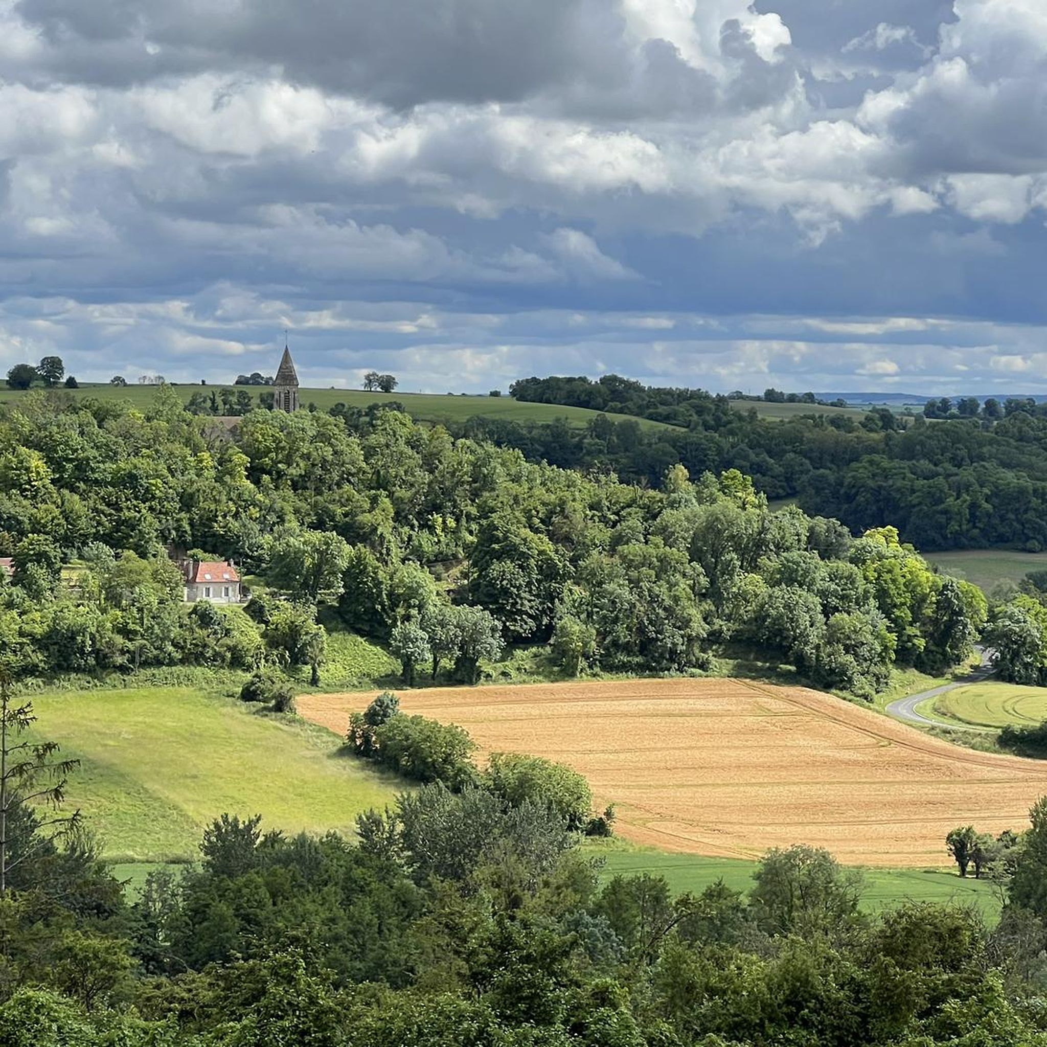
Mountain biking around Beaurieux offers routes through a landscape characterized by forests and river valleys, providing varied terrain for exploration. The region, part of the Hauts-de-France, features a mix of rolling hills and agricultural land, with some areas offering panoramic views. While not a mountainous region, the local topography provides opportunities for mountain bike trails that traverse woodlands and open countryside. These routes often connect historical sites and natural features, making for diverse rides.
Best mountain bike trails around Beaurieux
…Last updated: October 26, 2026
4.6
(13)
33
riders
30.9km
02:27
360m
360m
Moderate mountain bike ride. Good fitness required. Advanced riding skills necessary.
4.6
(5)
34
riders
15.0km
00:54
100m
100m
Easy mountain bike ride.

4.7
(12)
33
riders
32.5km
01:55
180m
180m
Easy mountain bike ride.
5.0
(2)
7
riders
45.4km
03:20
480m
490m
Moderate mountain bike ride. Good fitness required.
3.0
(1)
4
riders
34.1km
02:48
450m
450m
Moderate mountain bike ride. Good fitness required. Advanced riding skills necessary.
Get access to more routes and recommendations from other explorers.
Already have an account?
Our route recommendations are based on thousands of hikes, rides, and runs completed by other people on komoot.
Start today with a free account
Your next adventure awaits.
Tips from the Community

The observation tower, inaugurated on April 16, 2013, overlooks the Plateau de Californie, a strategic site of the battles of the Chemin des Dames. The 20-meter-high, freely accessible tower offers a historical insight into the landscape and recalls the importance of the heights during the war. It also offers visitors who climb it an unparalleled view of the village of Craonne below, but also of the Chemin des Dames and the Champagne plain... The observation tower is topped with a blue beacon that is activated at night, thus forming a monument in the landscape. During the day, it allows one to survey the plain of Reims, while at night, conversely, it is visible from this plain. The structure of the tower consists of a spatially modular wooden Mikado, whose arrangement has been chosen according to the configuration of the terrain and the orientation of the viewpoints. The dimensions of the steps and handrails facilitate the climb and mitigate the feeling of vertigo that may arise. For this structure built amidst trees, wood was the obvious material. Renewable materials were selected: glued laminated timber from pine for the long supports, posts and beams from larch, larch wood for the steps, and tropical woods (Massaranduba, Cumaru, Ipé, Doussié…) for the platforms and railings. These woods, originating from French Guiana, are certified and their extraction is controlled. Source and further information: https://www.chemindesdames.fr/
1
0

Beautiful quiet place for a walk
0
0

Elevated Wooden bridge over the lake which goes under road, views of both sides of lakes. Narrow in places and some wooden sections are not in the best condition.
0
0
A small bridge joining the 2 sections lake and gravel track running behind
0
0
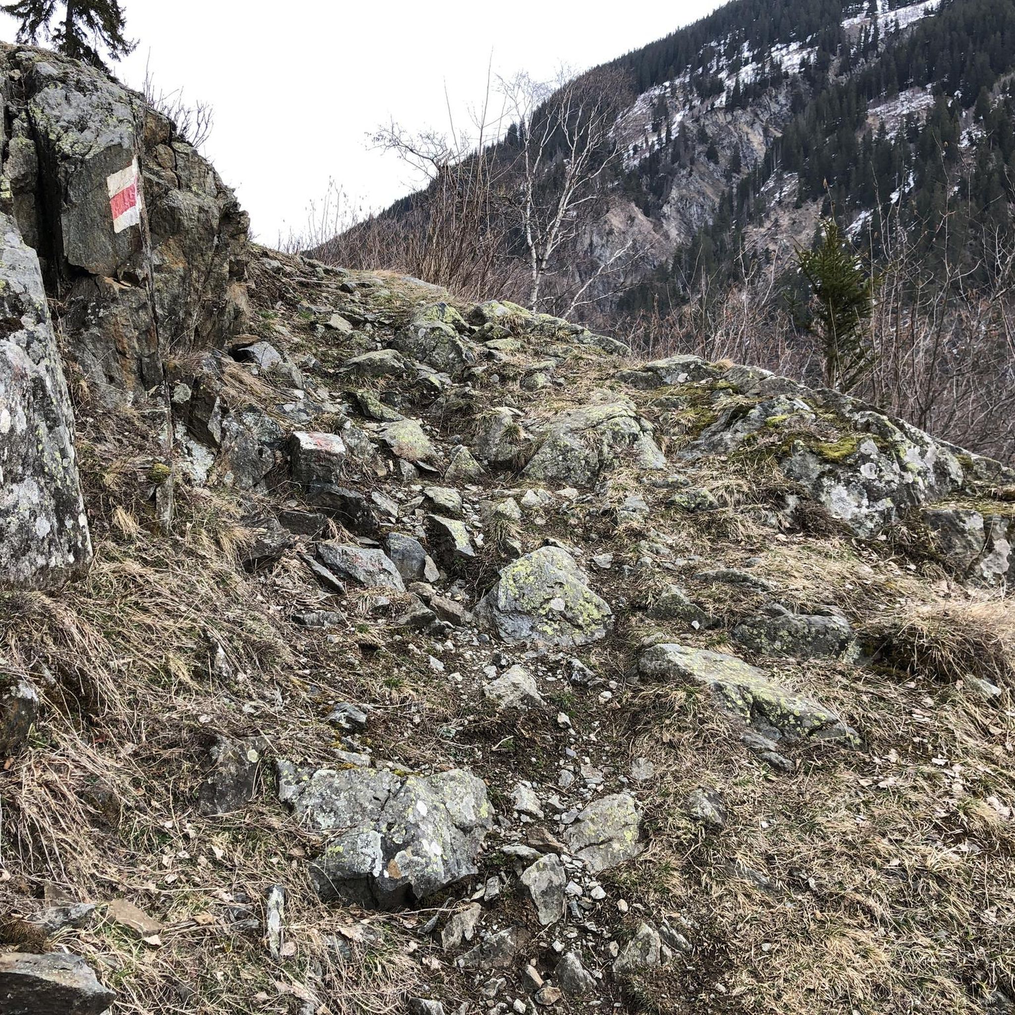
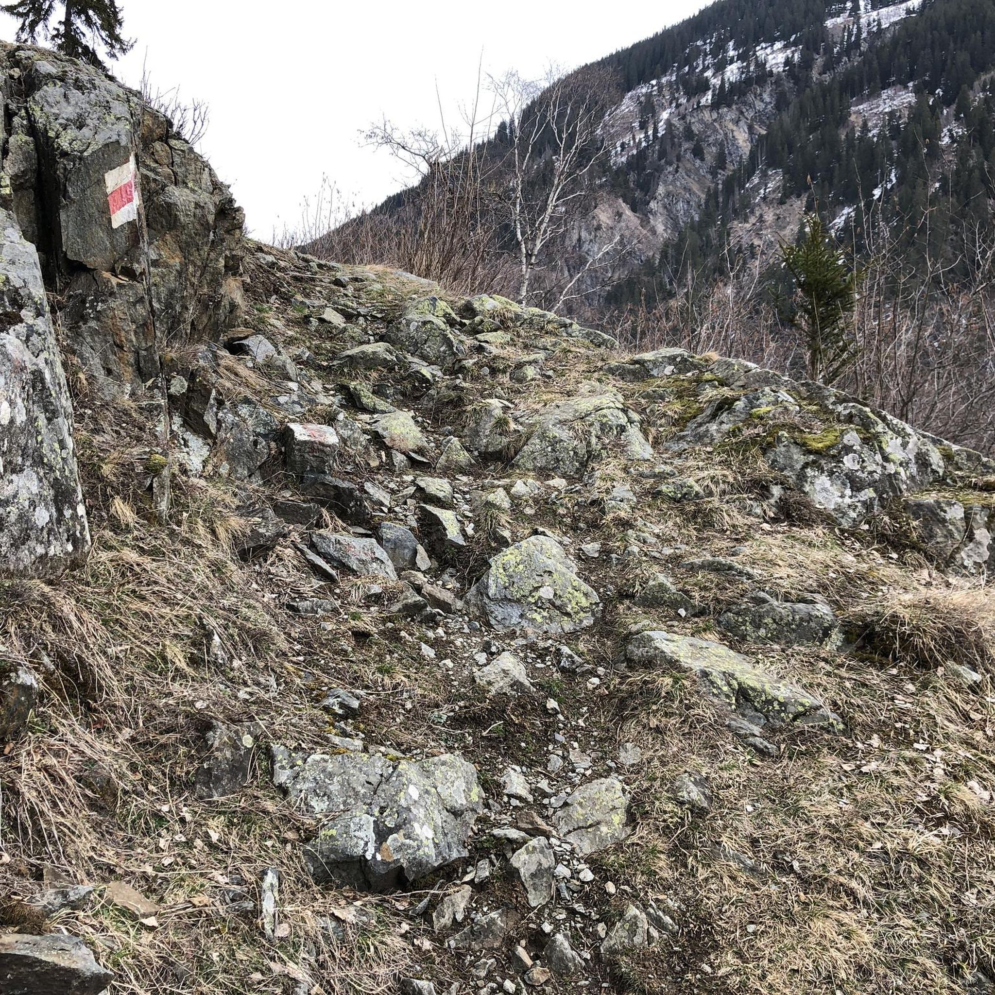
ground is quite soft and when it rains it gets very boggy and may find wheel sink in. The road it meets is highly chewed up by logging vehicles and virtually impossible to ride unless have you wide trail tyres
0
0
Originally, the place invaded by marshes was called Courmanblain , and Saint Bernard installed a first group of Cistercian monks there in 1134, responsible for clearing this space and building the abbey there. Nowadays, it is the remains of the building that you will discover, because due to its proximity to the Chemin des Dames , the abbey suffered very heavy damage during the Nivelle offensive during the First World War .
0
0
Frequently Asked Questions
How many mountain bike trails are available around Beaurieux?
There are over 30 mountain bike trails around Beaurieux, offering a variety of options for different skill levels. You'll find a mix of easy, moderate, and challenging routes to explore.
What kind of terrain can I expect on mountain bike trails near Beaurieux?
The terrain around Beaurieux is characterized by forests and river valleys, with a mix of rolling hills and agricultural land. While not a mountainous region, the trails traverse woodlands and open countryside, often connecting historical sites and natural features. Some areas offer panoramic views.
Are there easy mountain bike trails suitable for beginners or families in Beaurieux?
Yes, Beaurieux offers several easy mountain bike trails suitable for beginners and families. For example, the Vauclair Abbey – Monks' Pond loop from Bouconville-Vauclair is an easy 15 km route with minimal elevation gain, perfect for a relaxed ride.
Are there challenging mountain bike routes for experienced riders?
Absolutely. For experienced riders seeking a challenge, the region offers routes with significant elevation changes. The Fort de Chenay – Vinyard of the Chenay loop from Berry-au-Bac is a difficult 53.5 km trail featuring substantial elevation gain through varied terrain, taking about 4 hours 43 minutes to complete.
What historical sites or landmarks can I see while mountain biking near Beaurieux?
Many mountain bike routes in the area pass by significant historical sites. You can explore places like the Vauclair Abbey Ruins, the Ferme d'Hurtebise War Memorial, or the Napoleon Statue in Craonne. The Vauclair Abbey – Ailles village monument loop from Martigny-Courpierre is a great option to combine riding with historical exploration.
Are there circular mountain bike routes available?
Yes, many of the mountain bike trails around Beaurieux are designed as loops, allowing you to start and finish at the same point. Routes like the Old Craonne Cemetery – Vauclair Abbey loop from Corbeny offer a convenient circular experience through historical sites and woodlands.
What do other mountain bikers say about the trails in Beaurieux?
The mountain bike routes in Beaurieux are highly rated by the komoot community, with an average score of 4.3 stars from over 130 reviews. Riders often praise the diverse terrain, the blend of natural landscapes with historical landmarks, and the options available for different ability levels.
What is the best time of year for mountain biking in Beaurieux?
Spring and autumn generally offer the most pleasant conditions for mountain biking in the Hauts-de-France region, including Beaurieux. The weather is typically mild, and the natural scenery is vibrant. Summer can also be good, but it's advisable to ride earlier in the morning or later in the afternoon to avoid the midday heat.
Are dogs allowed on the mountain bike trails in Beaurieux?
While specific regulations can vary by trail section or protected area, generally, dogs are permitted on most public trails in France, often on a leash. It's always best to check local signage or specific route descriptions for any restrictions before heading out with your dog.
Is parking available at the trailheads?
Many of the mountain bike routes around Beaurieux start from villages or points with designated parking areas. While specific parking details vary per trailhead, you can usually find suitable spots in or near the starting points of the tours. Always check the route details on komoot for suggested parking locations.
Are there any scenic viewpoints along the mountain bike trails?
Yes, the region's topography, characterized by rolling hills and river valleys, offers several points with panoramic views. Some trails, such as the Observation Tower – Vauclair Abbey loop from Cerny-en-Laonnois, are known to provide scenic vistas over the surrounding countryside and woodlands.
Most popular routes around Beaurieux
Most popular attractions around Beaurieux

Get inspired with the komoot mobile app


Explore more
Browse the best MTB trails in other regions.
