The best road cycling routes around Beaurieux
4.2
(54)
1,997
riders
136
rides
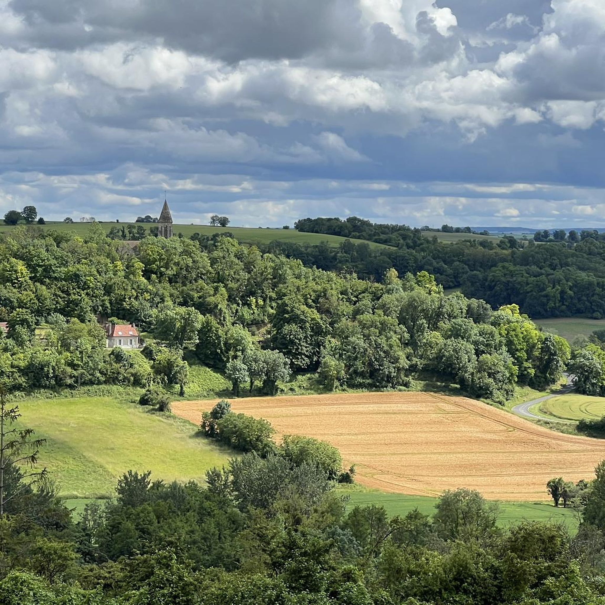
Road cycling routes around Beaurieux traverse a landscape characterized by rolling agricultural fields, interspersed woodlands, and river valleys. The region offers varied terrain suitable for road cyclists, with routes often featuring gentle ascents and descents. The area's topography provides a mix of open stretches and shaded sections, making it suitable for extended rides.
Best road cycling routes around Beaurieux
- The most popular road cycling route is Hermonville – Saint-Hilaire Church loop from Beaurieux, a 35.0 miles (56.4 km) trail…
Last updated: October 22, 2026
5.0
(1)
194
riders
26.5km
01:20
320m
320m
Moderate road ride. Good fitness required. Some segments of this route may be unpaved and difficult to ride.
4.0
(1)
26
riders
45.9km
02:00
240m
240m
Moderate road ride. Some segments of this route may be unpaved and difficult to ride.

5.0
(1)
18
riders
Moderate road ride. Some segments of this route may be unpaved and difficult to ride.
4.5
(2)
9
riders
55.6km
02:27
430m
430m
Moderate road ride. Good fitness required. Some segments of this route may be unpaved and difficult to ride.
9
riders
56.8km
02:24
400m
400m
Moderate road ride. Good fitness required. Mostly well-paved surfaces and easy to ride.
Get access to more routes and recommendations from other explorers.
Already have an account?
Our route recommendations are based on thousands of hikes, rides, and runs completed by other people on komoot.
Start today with a free account
Your next adventure awaits.
Tips from the Community

Beautiful quiet place for a walk
0
0

a silo on the edge of the canal very beautiful at sunset
0
0


Pretty little town up high, with a center full of culture, its church, its castle and its town hall. It is a good starting point with more sites and memorials in and around the city.
0
0

The Nécropole nationale de Cormicy is a French military cemetery from the First World War, located in the municipality of Cormicy, near Reims. The cemetery was created during the war to collect the bodies of the soldiers who died during the fighting on the Chemin des Dames. The cemetery was later expanded to include bodies excavated from other temporary cemeteries in the Vesle valley12. The cemetery has an area of 44,213 m² and contains 14,431 graves, of which 6,945 are in two ossuaries. Among the buried soldiers are two British from the First World War and ten from the Second World War. The cemetery is also called “La Maison Bleue”, after the farm that used to be there.
13
0
The Nécropole nationale de Pontavert is a military cemetery from the First World War, located in the municipality of Pontavert. There are approximately 7,000 fallen soldiers, including 67 British and 54 Russians. The cemetery also contains a monument in memory of the 31st Infantry Regiment, which took part in the attack on the Bois des Buttes and the Ville-au-Bois in April 1917, during the Chemin des Dames offensive. The cemetery is one of the many places of remembrance of the First World War in the Hauts-de-France region.
11
0

The church dates from the middle of the 13th century. Under the Old Regime, the parish came under the diocese of Soissons, Archdeaconry of Christianity and deanery of Vailly). At the end of the 19th century, Mademoiselle Rostan paid large sums to raise the monument damaged by the outrage of the years. It was badly damaged during the withdrawal of German troops at the end of the summer of 1918. The church was restored under the supervision of the architect of the Historic Monuments Lucien Sallez from 1921 to 1925, then from 1930 to 1932, while Émile Brunet and Jean Trouvelot worked on the masonry and the covering of the transept in 1927.
0
0
Frequently Asked Questions
What is the general difficulty level of road cycling routes around Beaurieux?
The road cycling routes around Beaurieux are primarily moderate in difficulty. The region features rolling agricultural fields and river valleys, offering varied terrain with gentle ascents and descents suitable for engaging rides. There are no routes classified as easy or difficult in the komoot guide, making it ideal for cyclists looking for a balanced challenge.
How many road cycling routes are available in the Beaurieux area?
There are over 15 road cycling routes available around Beaurieux. These routes offer a mix of open stretches and shaded sections, traversing agricultural plains, rolling hills, and forested areas.
Are there any circular road cycling routes starting from Beaurieux?
Yes, many routes around Beaurieux are designed as loops. For instance, the Hermonville – Saint-Hilaire Church loop from Beaurieux is a popular 35.0-mile (56.4 km) option, and the Roadbike loop from Beaurieux offers a moderate 28.0-mile (45.1 km) ride through rural landscapes.
What kind of scenery can I expect on road cycling routes near Beaurieux?
Road cycling routes near Beaurieux offer diverse scenery, including rolling agricultural fields, interspersed woodlands, and river valleys. You'll experience a mix of open plains and shaded sections, often passing through small villages and rural landscapes characteristic of the French countryside.
What are some notable landmarks or attractions I might see along the road cycling routes?
While cycling, you might encounter historical sites and monuments. For example, the Hermonville – Cormicy National Necropolis loop from Beaurieux passes near the Cormicy National Necropolis. Other nearby attractions include the Vauclair Abbey Ruins and the Napoleon Statue in Craonne.
Are there routes suitable for families or beginners around Beaurieux?
The routes around Beaurieux are generally classified as moderate. While they feature manageable climbs and varied terrain, there are no routes specifically designated as 'easy' or 'beginner-friendly' in this guide. Cyclists should be comfortable with moderate distances and some elevation changes.
What is the best time of year for road cycling in Beaurieux?
The best time for road cycling in Beaurieux is typically during the spring, summer, and early autumn months. During these seasons, the weather is generally mild and pleasant, making for comfortable riding conditions through the region's agricultural landscapes and woodlands.
Are there opportunities for cafe stops or refreshments along the routes?
Many road cycling routes around Beaurieux pass through small villages. These villages often provide opportunities for cafe stops, bakeries, or small shops where you can refuel and take a break. Planning your route to include these stops can enhance your cycling experience.
What do other road cyclists say about the routes in Beaurieux?
The road cycling routes in Beaurieux are highly rated by the komoot community, with an average score of 4.2 stars from over 40 reviews. Cyclists often praise the varied terrain, the quiet rural roads, and the scenic beauty of the agricultural plains and woodlands.
Is parking available at the starting points of these road cycling routes?
While specific parking information for each route is not detailed, starting points in and around Beaurieux, particularly in villages, typically offer public parking options. It's advisable to check local parking availability when planning your ride.
What is a good moderate-length route for road cycling near Beaurieux?
For a moderate-length ride, consider the Moussy loop from Beaurieux. This route covers 61.4 km (38.2 miles) with moderate elevation, offering a balanced ride through the local countryside.
Most popular attractions around Beaurieux

Get inspired with the komoot mobile app


Explore more
Browse the best Road cycling routes in other regions.
