The best running trails around Plouézec
4.7
(10)
778
runners
58
runs
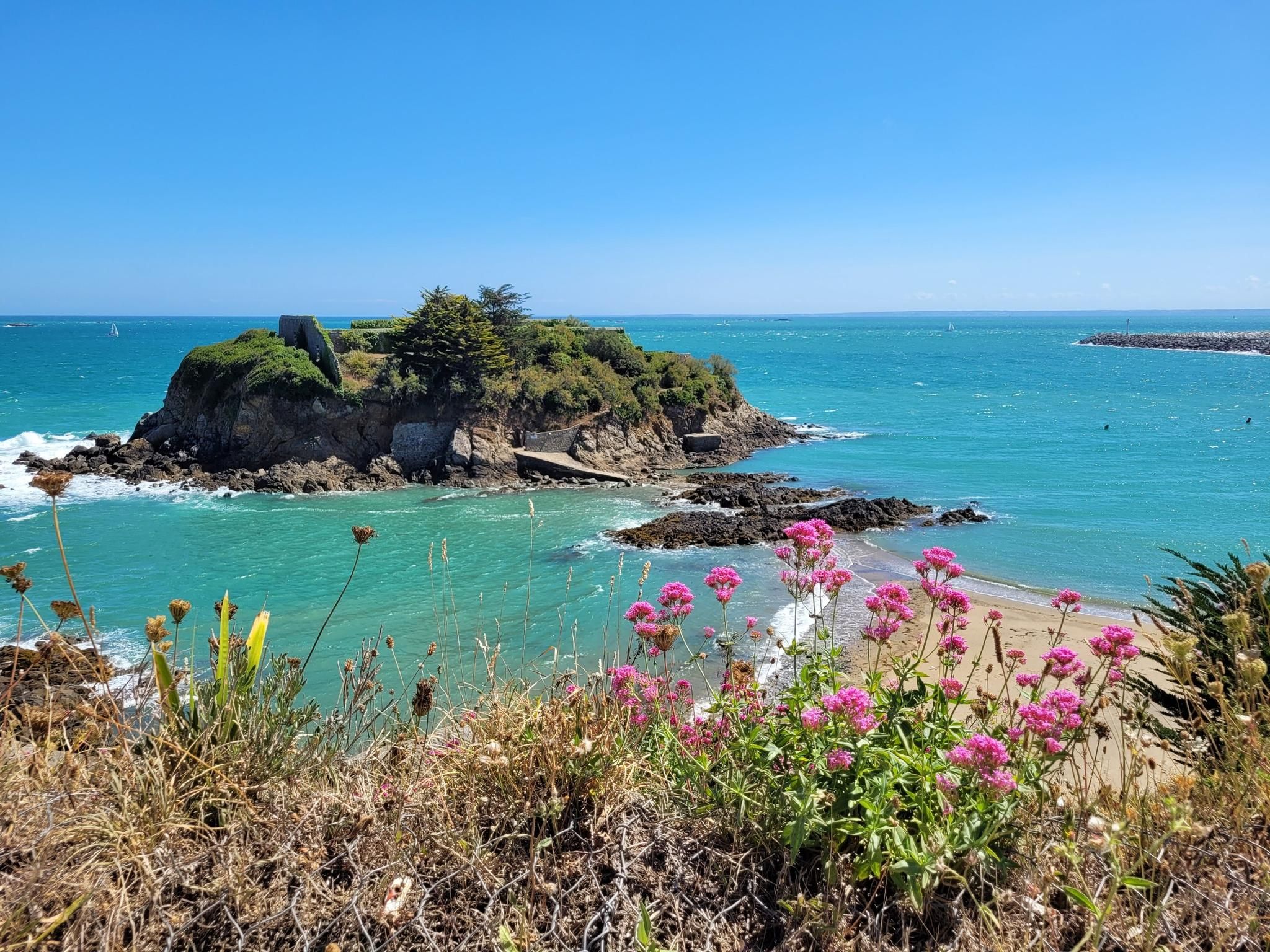
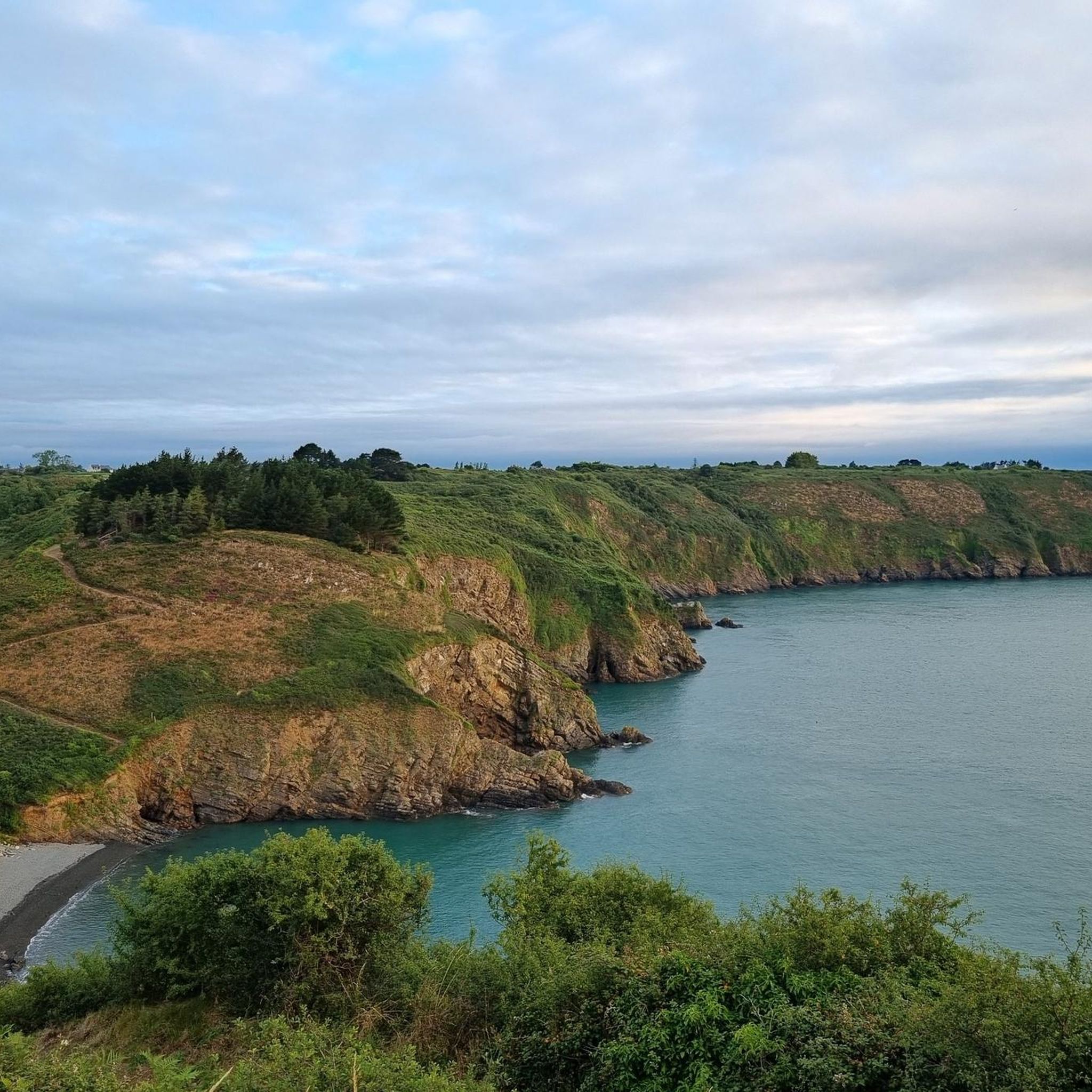
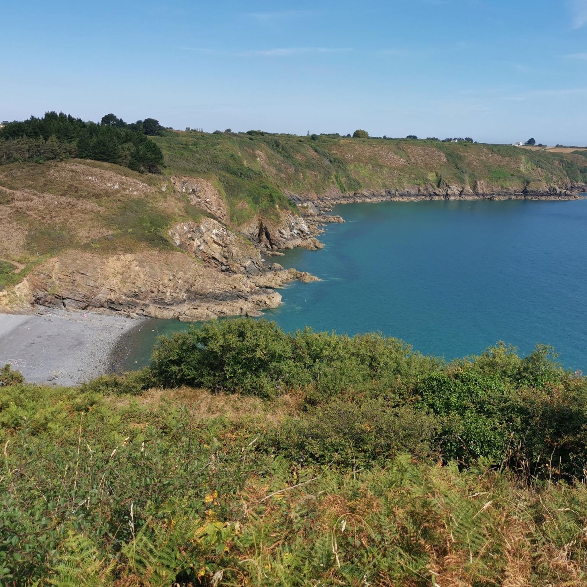
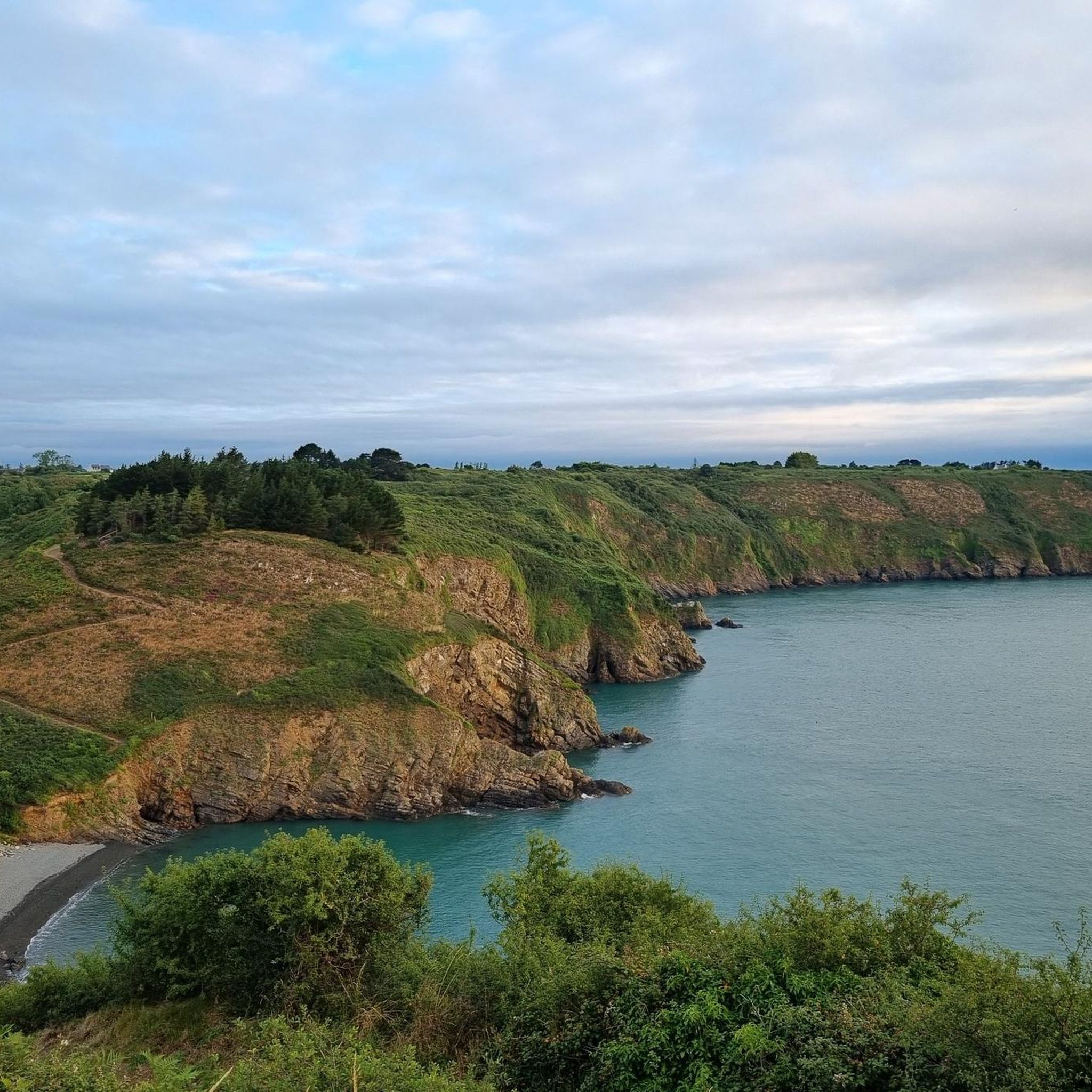
Jogging routes around Plouézec traverse a diverse landscape characterized by 17 kilometers of rugged Atlantic coastline, dramatic cliffs, and a mix of sandy beaches and picturesque coves. Inland, the region features woods, ponds, and wetlands, offering varied terrain for running. The famous GR 34 coastal path, also known as the "Sentier des Douaniers," provides both gentle and challenging sections.
Best jogging routes around Plouézec
- The most popular jogging route is Bonaparte Beach – Plouha Point loop from Plouézec, a 23.2 miles (37.4 km) trail that takes 4 hours 28 minutes to complete. This difficult route offers extensive coastal views and significant elevation changes.
- Another top favourite among local runners is View of Pointe de Minard – Bréhec loop from Phare de L'Ost-Pic, a difficult 9.3 miles (15.0 km) path. This route provides scenic coastal views and rugged terrain around prominent headlands.
- Local runners also love the Beauport Abbey – A varied coastal trail loop from Port Lazo, an 8.9 miles (14.3 km) trail leading through varied coastal landscapes, often completed in about 1 hour 41 minutes.
- Jogging around Plouézec is defined by rugged coastline, dramatic cliffs, and diverse inland routes including woods and wetlands. The network of running trails offers options for different ability levels, from moderate coastal paths to more challenging, longer loops.
- The routes in Plouézec are highly rated by the komoot community with an average score of 4.7 stars from more than 10 reviews. More than 700 runners have used komoot to explore Plouézec's varied terrain.
Last updated: July 5, 2026
74
runners
37.5km
04:30
740m
740m
Hard run. Very good fitness required. Mostly paved surfaces. Suitable for all skill levels.
47
runners
15.3km
01:50
230m
230m
Hard run. Very good fitness required. Mostly paved surfaces. Suitable for all skill levels.

Sign up for free
35
runners
6.49km
00:42
80m
80m
Moderate run. Good fitness required. Mostly paved surfaces. Suitable for all skill levels.
5.0
(1)
33
runners
13.2km
01:23
110m
110m
Moderate run. Good fitness required. Mostly paved surfaces. Suitable for all skill levels.
26
runners
8.61km
01:01
160m
160m
Moderate run. Good fitness required. Mostly paved surfaces. Suitable for all skill levels.
Get access to more routes and recommendations from other explorers.
Sign up for free
Already have an account?
Our route recommendations are based on thousands of hikes, rides, and runs completed by other people on komoot.
Start today with a free account
Your next adventure awaits.
Login or Signup
Other adventures around Plouézec

Tips from the Community

Thank you for these helpful pictures, I'll detach the dog his trailer upon arrival 😛
0
0

If you're not afraid to climb down the 170 steps, you'll find a beautiful and quiet pebble beach, the only drawback being that you have to climb the stairs again later.
0
0

In this case, you'd first drive there, then return via the GR34, which offers great views, and then cycle back to the car. This is at least convenient for the climb from the parking lot.
0
0
You have to descend a good 170 steep steps to reach the bay (and later, of course, back up again). This keeps the number of visitors on the pebble beach manageable. Here, you're still relatively undisturbed. 👍🏼
0
0


The Pointe de Plouha is a beautiful spot in Brittany and is known for its highest cliffs in the region, at 104 meters high. This 14-kilometer stretch of rocky coastline offers breathtaking views, hidden coves, bird nesting sites, an old harbor and a chapel with eerie frescoes. This location also offers historical significance, with the remains of bunkers built to protect a small anchorage, and a picturesque beach called Gwin Zegal, where tree trunks emerge from the water.
2
0

A very beautiful monastery ruin. All descriptions of the individual sights are multilingual, so you can get by very well even without sufficient knowledge of French.
1
0

This place offers beautiful views of the bay of Paimpol. In particular, you can see the tip of Guilben stretching out along its entire length.
0
0
Frequently Asked Questions
How many running routes are available in Plouézec?
Plouézec offers a wide variety of running options, with over 50 routes available. These range from easy paths to more challenging trails, catering to different fitness levels.
Are there easy running routes suitable for beginners in Plouézec?
Yes, Plouézec has several easy running routes perfect for beginners or those looking for a relaxed jog. For example, the "Plouezec-Bréhec" route is an easy 3.966-mile (approximately 6.38 km) path mentioned in the region research, offering a gentle introduction to the area's beauty.
What kind of terrain can I expect on jogging trails in Plouézec?
The jogging trails in Plouézec offer diverse terrain. You'll find rugged Atlantic coastline with dramatic cliffs, sandy beaches, and picturesque coves. Inland, routes traverse woods, ponds, and wetlands. The famous GR 34 coastal path, also known as the "Sentier des Douaniers," provides both gentler sections and more challenging, steeper parts.
Are there long-distance running options for experienced runners in Plouézec?
Absolutely. Experienced runners will find several challenging long-distance routes. A notable option is the Bonaparte Beach – Plouha Point loop from Plouézec, a difficult 23.2-mile (37.4 km) trail with extensive coastal views and significant elevation changes. Another difficult route is the View of Pointe de Minard – Bréhec loop from Phare de L'Ost-Pic, spanning 9.3 miles (15.0 km) with rugged coastal terrain.
Can I find circular running routes in Plouézec?
Yes, many of the running routes in Plouézec are circular, allowing you to start and finish at the same point. Examples include the Bonaparte Beach – Plouha Point loop from Plouézec and the View of Pointe de Minard – Bréhec loop from Phare de L'Ost-Pic, both offering scenic loops.
What are the most scenic running routes in Plouézec?
For breathtaking views, focus on the coastal paths. The "Circuit cliffs" is a 13 km paved route along the coast, offering stunning vistas. The "Cliffs of Plouézec Circuit" is an 8.65 km loop that combines spectacular coastal views with rugged cliffs. Many routes along the GR 34 also provide incredible panoramas over the Bay of Paimpol and towards the Bréhat Archipelago.
Are there any specific landmarks or attractions I can see while jogging in Plouézec?
Yes, several routes pass by notable landmarks. You can run past the historic Beauport Abbey, or enjoy views from prominent headlands like Pointe de Plouha and Pointe de Minard. The restored Mill Craca also offers a picturesque point of interest with views across the bay.
Are the running trails in Plouézec suitable for families?
Many of the easier and moderate coastal paths, especially those near beaches like Sainte-Anne, are suitable for families. These paths often have less challenging terrain and offer opportunities for breaks at scenic spots. Always check the route's difficulty and length to ensure it matches your family's capabilities.
What do other runners say about the trails in Plouézec?
The running routes in Plouézec are highly rated by the komoot community, with an average score of 4.7 stars from more than 10 reviews. Runners often praise the diverse landscapes, from dramatic cliffs to tranquil beaches, and the well-maintained coastal paths that offer invigorating challenges and stunning views.
What are the options for parking near running trails in Plouézec?
Parking is generally available at popular starting points for many routes, especially near beaches, significant viewpoints like Pointe de Plouézec, and trailheads along the GR 34. Specific parking information is often detailed on individual route pages on komoot, so it's best to check the route you plan to run for precise locations.
Is public transport available to access running routes in Plouézec?
While Plouézec is best explored by car for maximum flexibility, some local bus services connect key villages and towns. It's advisable to check local transport schedules in advance, especially if you plan to use public transport to reach specific trailheads or for point-to-point runs.
Can I spot wildlife while jogging in Plouézec?
Yes, Plouézec's diverse natural environments, including its coastline, woods, and wetlands, provide opportunities for wildlife spotting. Along the coast, you might see various seabirds. Inland, especially in areas like La Forêt du Levant, you could encounter local flora and fauna, making for a more immersive running experience.
Most popular attractions around Plouézec

Get inspired with the komoot mobile app


Explore more
Browse the best Running Trails & Routes in other regions.
