The best road cycling routes around Avançon
4.6
(396)
12,439
riders
146
rides
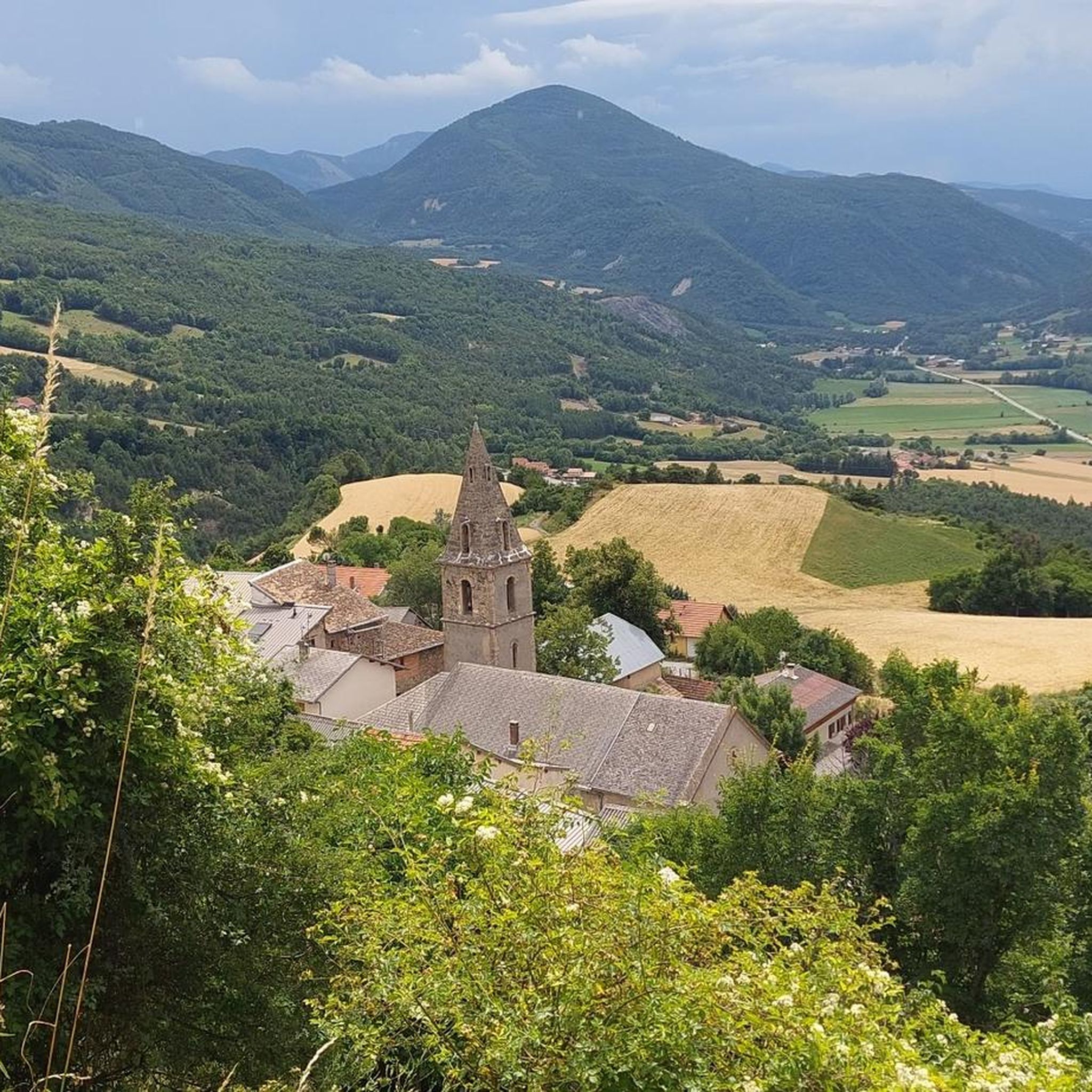
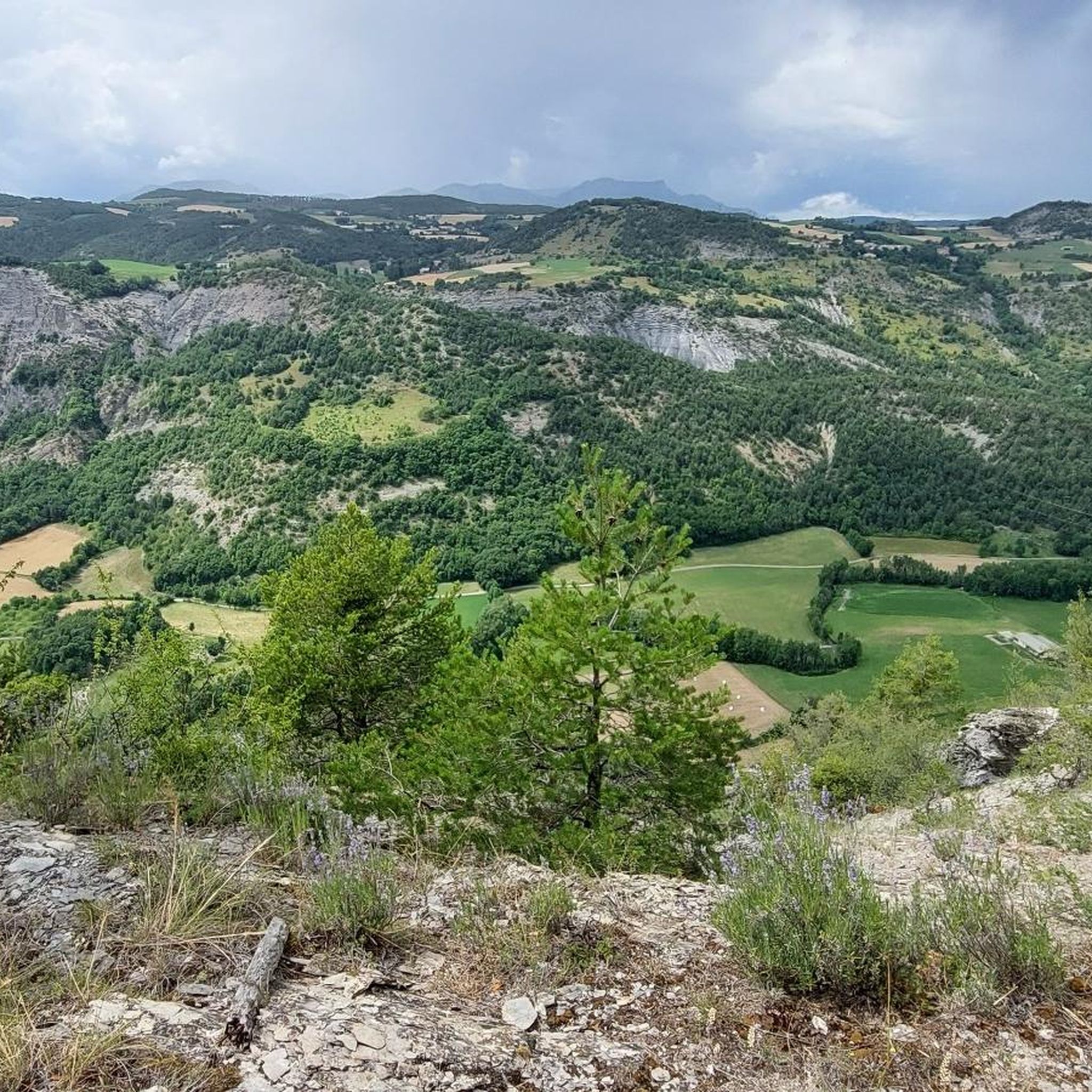
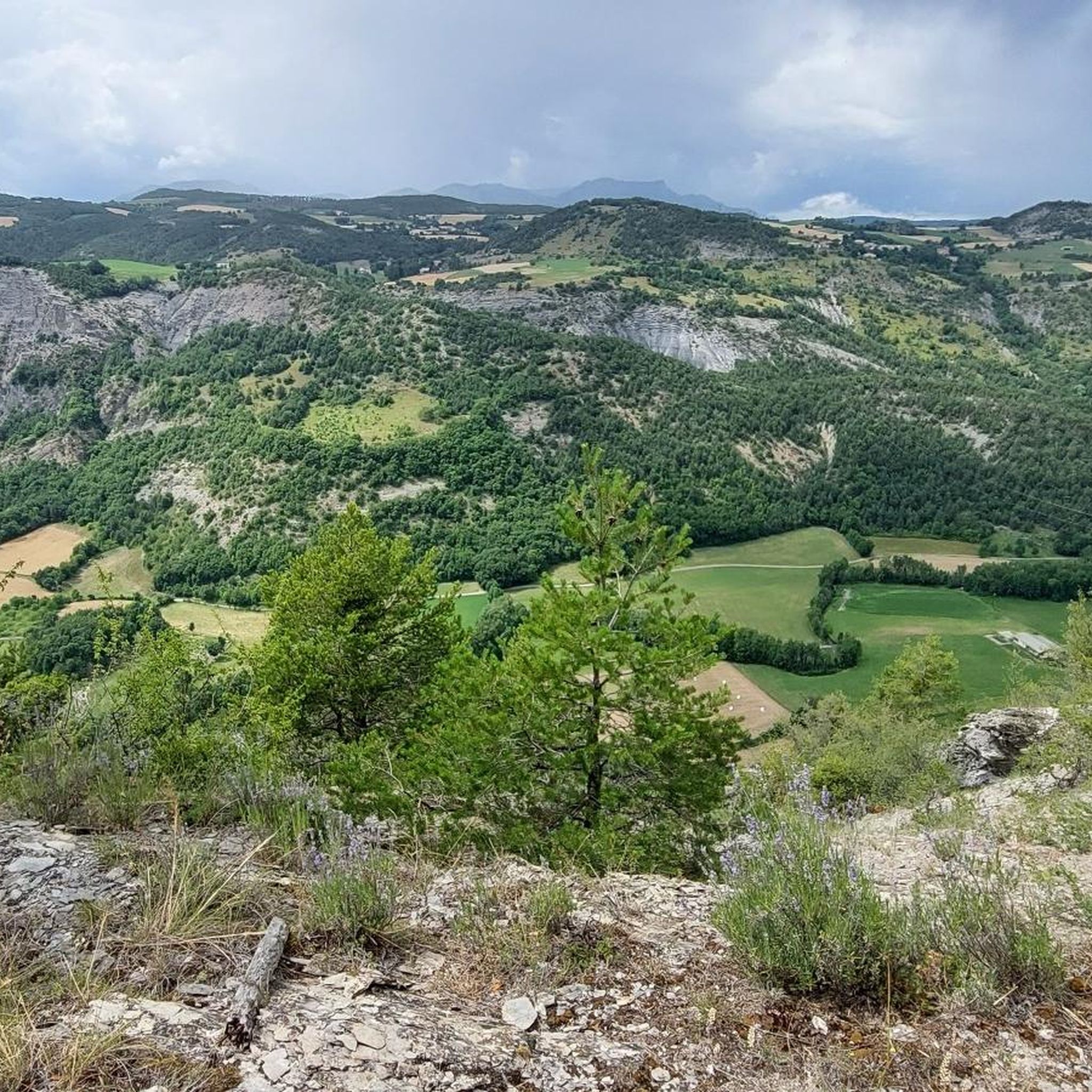
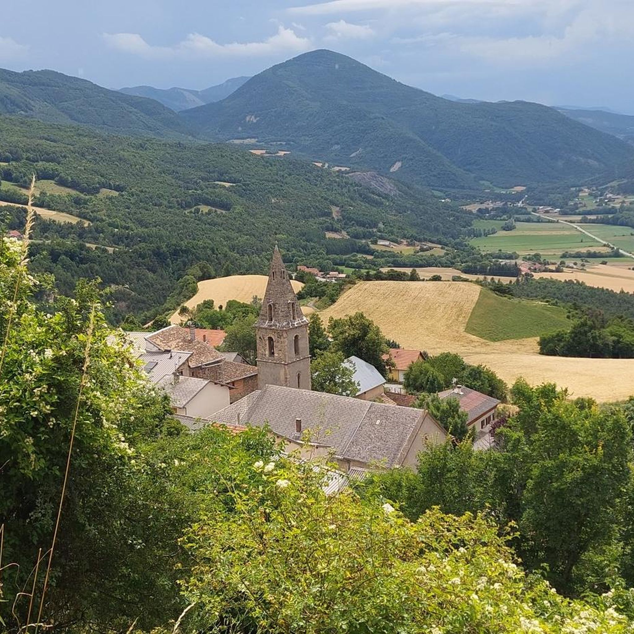
Road cycling around Avançon is characterized by its location in the Hautes-Alpes, offering a diverse mountainous landscape. The Avance Valley features elevations ranging from 600 meters to nearly 2,500 meters, with peaks like Piolit. This topography provides varied terrain for road cyclists, from green hills to more rugged, higher elevations. The region is also influenced by the nearby Serre-Ponçon lake, adding scenic views to many routes.
Best road cycling routes around Avançon
- The most popular road cycling route is Rambaud…
Last updated: July 13, 2026
4.6
(47)
2,038
riders
75.3km
04:09
1,580m
1,580m
Hard road ride. Very good fitness required. Mostly well-paved surfaces and easy to ride.
4.6
(5)
139
riders
41.3km
02:11
790m
790m
Cycle the moderate 25.7-mile Col de Garcignets loop from Espinasses, featuring quiet roads and scenic gorge views.

Sign up for free
4.4
(7)
128
riders
39.7km
02:15
890m
890m
Road cycling the Chorges to Col de Moissière route offers a challenging 24.7-mile climb with stunning Alpine panoramas at the summit.
4.7
(6)
222
riders
46.3km
02:46
1,140m
1,140m
Hard road ride. Very good fitness required. Mostly well-paved surfaces and easy to ride.
4.0
(2)
158
riders
81.0km
04:17
1,450m
1,450m
Hard road ride. Very good fitness required. Mostly well-paved surfaces and easy to ride.
Get access to more routes and recommendations from other explorers.
Sign up for free
Already have an account?
Our route recommendations are based on thousands of hikes, rides, and runs completed by other people on komoot.
Start today with a free account
Your next adventure awaits.
Login or Signup
Tips from the Community

Col de Pontis is a climb located in the Serre Ponçon region. This climb is 5.2 kilometers long, with a positive elevation gain of 507 meters. Col de Pontis has an average gradient of 9.7%. With this gradient, the climb has 521 difficulty points. The highest point is at an altitude of 1,299 meters.
0
0


Beautiful place to stop and enjoy the view of the lake
1
0

Beautiful and useful fountain with fresh water
1
1

From this point you can admire the beautiful Lake Serre Ponçon.
7
0
Exceptional point of view.
20
0
A wonderful view of the lake.
19
0
It is a very complicated climb with asphalt not in good condition. The views are stunning.
19
0
Frequently Asked Questions
How many road cycling routes are available around Avançon?
There are nearly 200 road cycling routes around Avançon documented on komoot, offering a wide range of options for cyclists of all abilities. The komoot community has explored over 180 routes in the area.
What types of terrain can I expect on road cycling routes near Avançon?
Road cycling around Avançon offers diverse terrain, from green hills and shaded forests in the lower Avance Valley to more rugged, higher elevations reaching nearly 2,500 meters. You'll find routes with moderate climbs and significant elevation gains, often featuring winding ascents and exhilarating descents characteristic of the Hautes-Alpes region.
Are there road cycling routes suitable for beginners or families in Avançon?
Yes, while the region is known for challenging alpine passes, there are routes suitable for varying abilities. Komoot lists 5 easy routes and 96 moderate routes, which can be a good starting point for beginners or families looking for less strenuous rides. These often feature gentler gradients and scenic views without extreme climbs.
What are some of the most scenic viewpoints or landmarks along road cycling routes in Avançon?
Many routes offer breathtaking views, especially around Lac de Serre-Ponçon. You can find panoramic vistas from spots like the View of Lac de Serre-Ponçon from Mont Colombis. The Chanteloube Viaduct, partially submerged in the lake, also presents a unique sight. The region's mountainous backdrop, including peaks like Piolit, provides constant scenic beauty.
What is the best time of year for road cycling in Avançon?
The summer months are ideal for road cycling in Avançon, as the weather is generally favorable for tackling the region's mountain passes. During this period, operations like 'Cols réservés' sometimes close legendary mountain roads to motorized traffic, allowing cyclists to enjoy climbs in tranquility. Spring and early autumn can also be pleasant, though higher elevations might still have snow or experience cooler temperatures.
Are there any challenging road cycling routes for experienced cyclists?
Absolutely. Avançon is a premier destination for experienced road cyclists, with 85 difficult routes listed on komoot. The region is renowned for its challenging mountain passes, frequently featured in the Tour de France, such as the Galibier, Lautaret, Izoard, and Agnel. Routes like Saint Apollinaire Viewpoint – View of Lac de Serre-Ponçon loop from La Bâtie-Neuve offer significant elevation gain and panoramic views.
Can I find circular road cycling routes around Avançon?
Yes, many of the road cycling routes around Avançon are designed as loops, allowing you to start and end in the same location. Examples include the Rambaud – Sentinel Pass loop from La Bâtie-Neuve and the Cordeliers Church loop from La Bâtie-Neuve, providing varied terrain and scenic views.
What do other road cyclists say about the routes in Avançon?
The road cycling routes in Avançon are highly rated by the komoot community, with an average score of 4.6 stars from over 380 reviews. Cyclists often praise the diverse mountainous landscape, challenging alpine passes, and scenic lake views, particularly around Lac de Serre-Ponçon. Many appreciate the variety of options for different ability levels.
Are there any specific attractions or points of interest near the road cycling routes?
Beyond the natural beauty, you can explore several attractions. The Serre-Ponçon Dam, one of Europe's largest earthen dams, is a significant landmark. The Chanteloube Viaduct, partially submerged in the lake, is also a unique sight. The area also features authentic villages and the Notre-Dame du Laus Sanctuary, offering cultural interest amidst scenic landscapes.
What is the typical distance and duration for road cycling routes in the Avançon area?
The routes vary significantly in distance and duration. For example, the Rambaud – Sentinel Pass loop from La Bâtie-Neuve is about 44.8 km and takes around 2 hours 36 minutes, while the more challenging Saint Apollinaire Viewpoint – View of Lac de Serre-Ponçon loop from Montgardin covers 47.5 km and typically takes over 2 hours 30 minutes. You'll find options ranging from shorter, moderate rides to longer, more demanding excursions.
Are there opportunities to see lakes or rivers on the road cycling routes?
Yes, the region is rich in water features. Many routes offer stunning views of the expansive Serre-Ponçon lake, one of the largest artificial lakes in France. The Avance River also carves through the valley, and you might encounter other smaller lakes and streams, adding to the picturesque environment of your ride.
Most popular attractions around Avançon

Get inspired with the komoot mobile app


Explore more
Browse the best Road cycling routes in other regions.
