The best walks and hikes around Puy-Saint-Eusèbe
4.4
(2729)
19,495
hikers
331
hikes
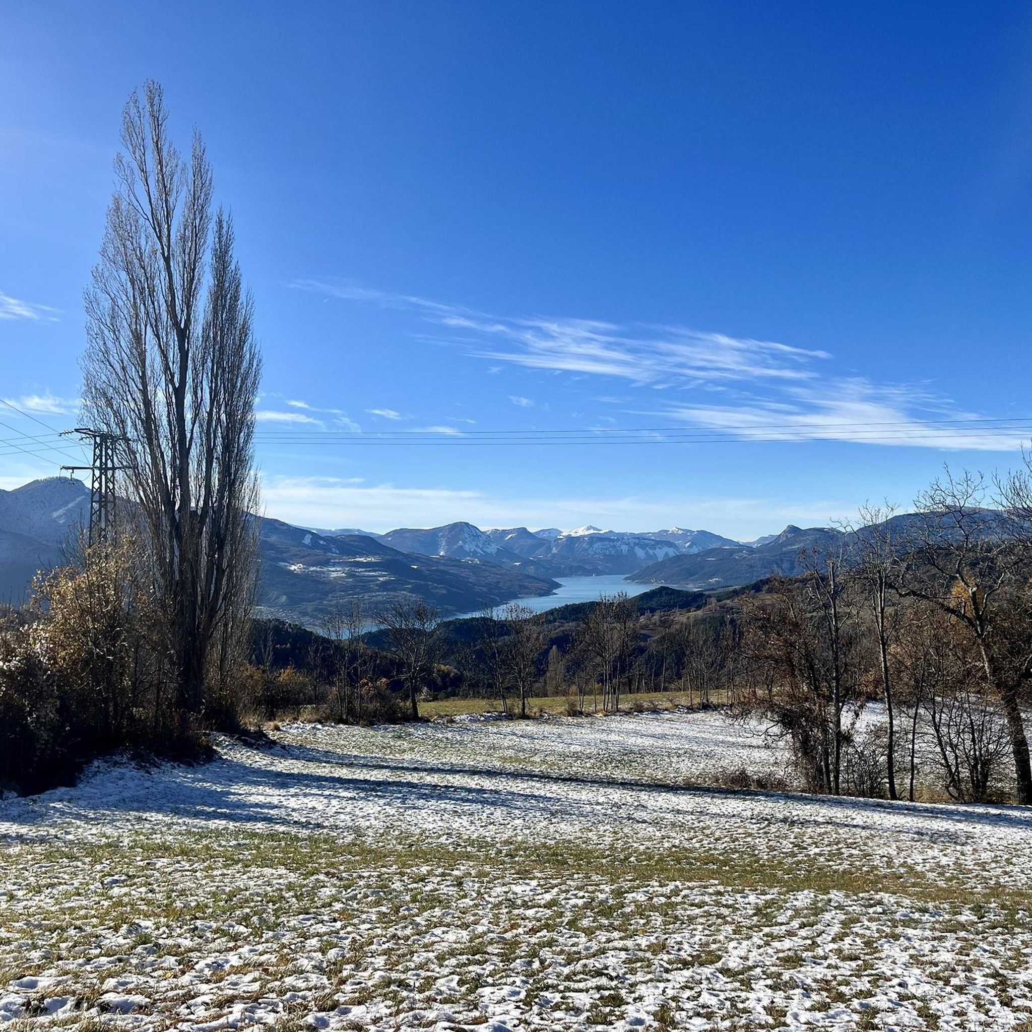
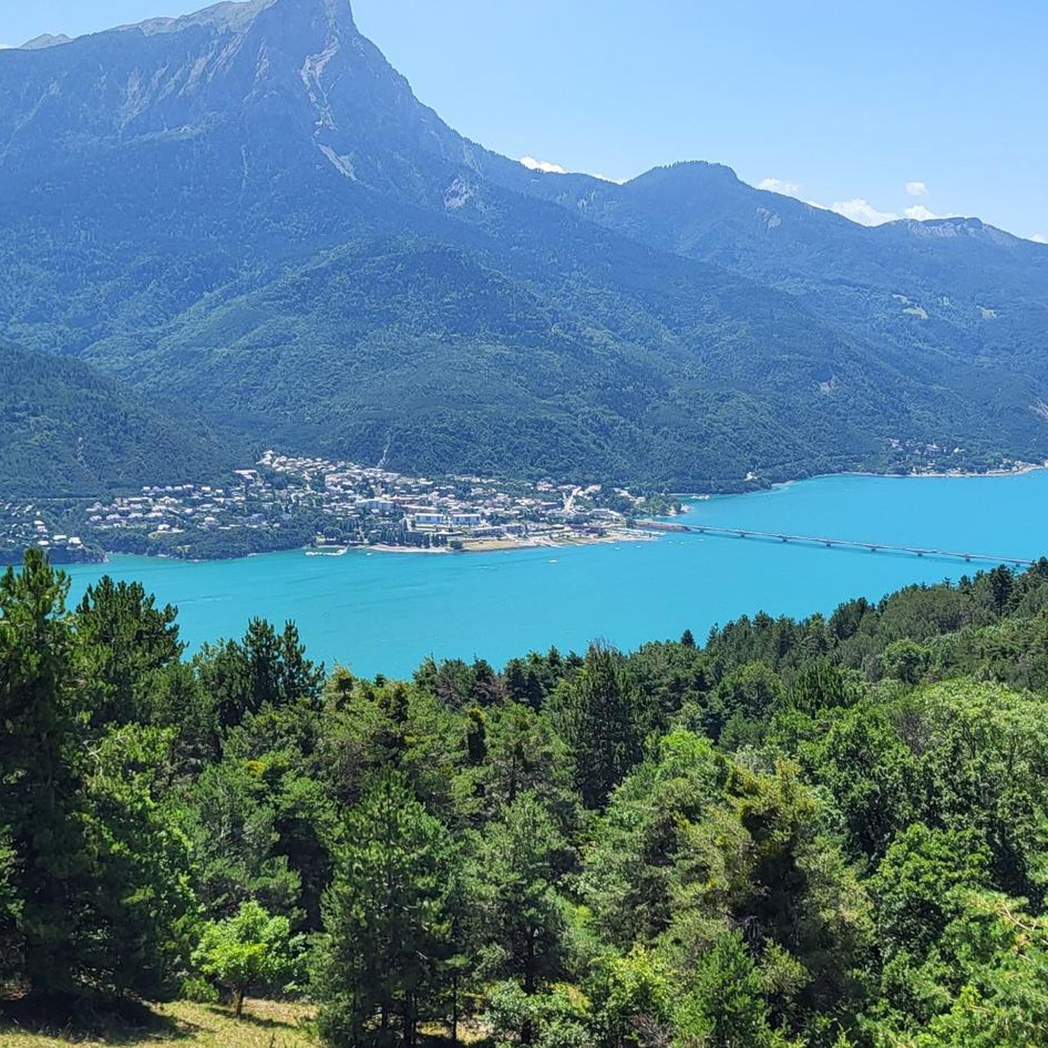
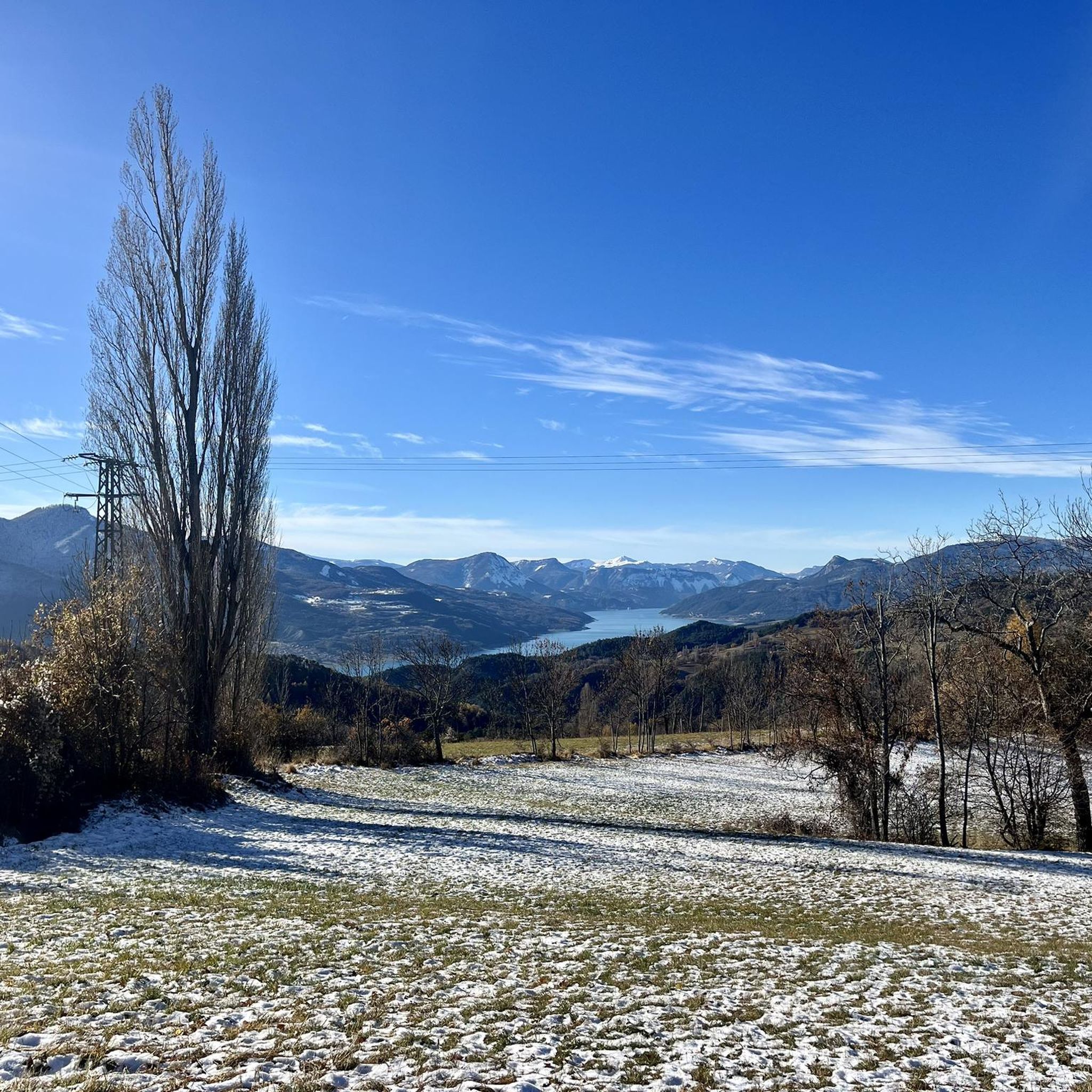
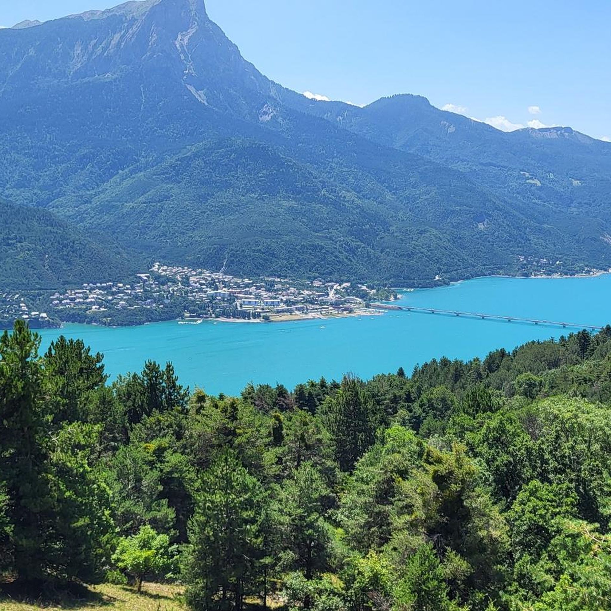
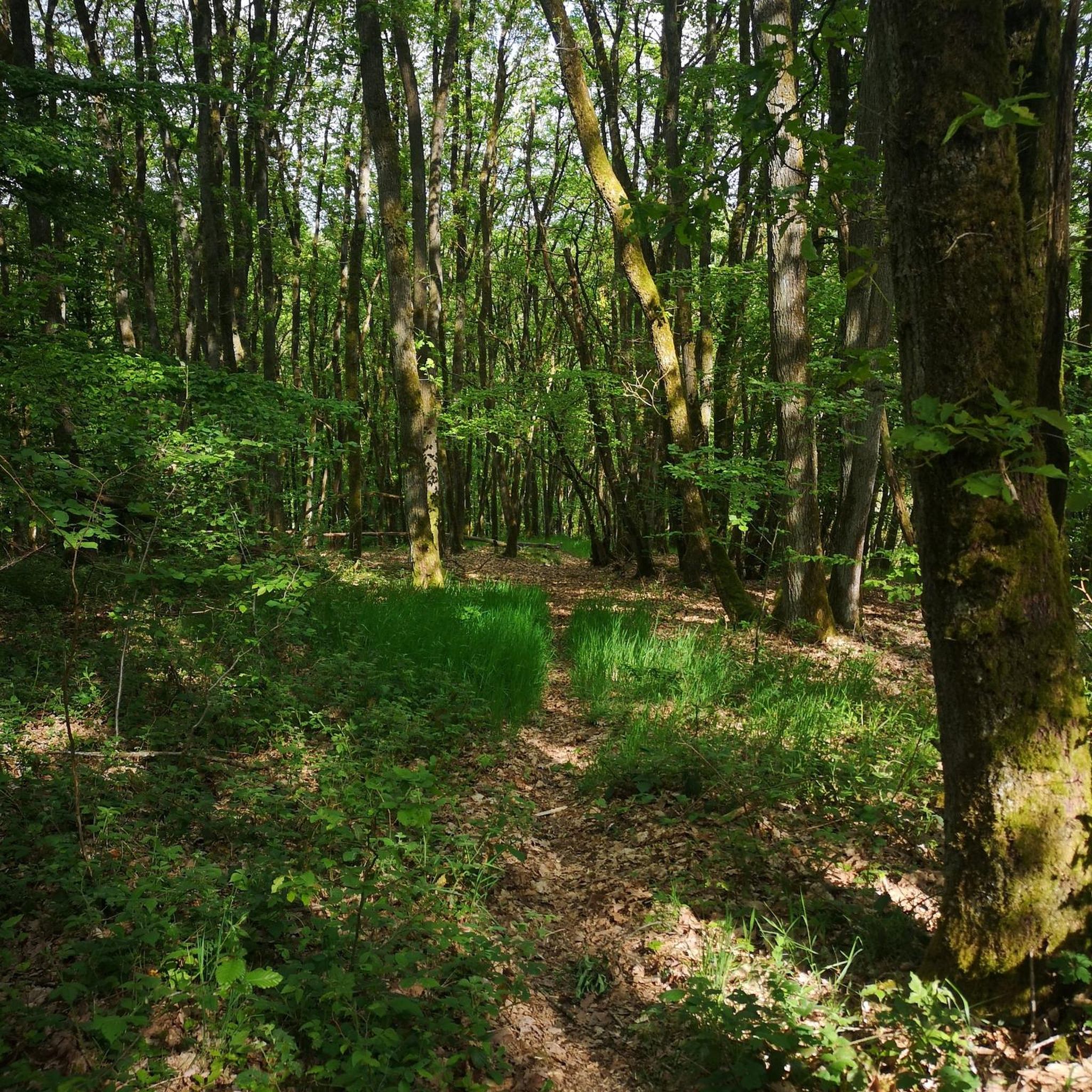
Hiking around Puy-Saint-Eusèbe offers diverse terrain in the Hautes-Alpes region, characterized by its position on the western flank of Mont Guillaume. The area features panoramic views of Lake Serre-Ponçon and the surrounding mountains, including the Pic du Morgon and the Aiguilles de Chabrières. Trails traverse the fragrant Sellette Forest and border the Écrins National Park, providing access to varied landscapes from valleys to peaks. The region's "bocage" landscape includes historic dry stone walls and canals, adding to its unique character.
…Last updated: August 25, 2026
4.6
(7)
81
hikers
6.96km
02:03
200m
200m
Moderate hike. Good fitness required. Easily-accessible paths. Suitable for all skill levels.
4.7
(3)
47
hikers
22.9km
10:23
1,520m
1,520m
Hard hike. Very good fitness required. Sure-footedness, sturdy shoes and alpine experience required.

Sign up for free
4.0
(5)
40
hikers
14.2km
04:23
550m
550m
Moderate hike. Good fitness required. Easily-accessible paths. Suitable for all skill levels.
5.0
(4)
39
hikers
14.8km
05:56
1,100m
1,100m
Hard hike. Very good fitness required. Sure-footedness, sturdy shoes and alpine experience required.
25
hikers
Moderate hike. Good fitness required. Easily-accessible paths. Suitable for all skill levels.
Get access to more routes and recommendations from other explorers.
Sign up for free
Already have an account?
Our route recommendations are based on thousands of hikes, rides, and runs completed by other people on komoot.
Start today with a free account
Your next adventure awaits.
Login or Signup

Tips from the Community

Does anyone know if dogs are allowed?
0
0

The most beautiful panorama in the area!
0
0
Be careful to take the right path to reach the parking lot at the start of the hike and avoid forest paths!
1
0

Very pretty and accessible to all
1
0

VERY DIFFICULT VAE CLIMB SUPERB SUMMIT
0
0

Great trip from the big lake up to the small Lac
0
0

Frequently Asked Questions
How many hiking trails are available around Puy-Saint-Eusèbe?
There are over 320 hiking routes around Puy-Saint-Eusèbe, offering a wide variety of options for all skill levels. This includes more than 100 easy trails, 160 moderate routes, and over 50 challenging hikes.
What makes hiking in Puy-Saint-Eusèbe unique?
Puy-Saint-Eusèbe, a 'balcony village,' offers stunning panoramic views of Lake Serre-Ponçon, the Pic du Morgon, and the Aiguilles de Chabrières. Trails often feature 'balcony passages' overlooking the lake, traverse the fragrant Sellette Forest, and showcase the region's unique 'bocage' landscape with historic dry stone walls and canals. Its proximity to the Écrins National Park also provides access to diverse natural environments.
What do other hikers say about the trails in Puy-Saint-Eusèbe?
The hiking routes in Puy-Saint-Eusèbe are highly rated by the komoot community, with an average score of 4.5 stars from over 2,300 reviews. Hikers frequently praise the 'extremely beautiful tours' and 'wonderful views,' especially those overlooking Lake Serre-Ponçon.
Are there easy hiking trails suitable for beginners or families?
Yes, Puy-Saint-Eusèbe is known for its 'beautiful hikes, easy and rewarding.' There are over 100 easy routes, many of which are suitable for beginners and families. These trails often provide gentle gradients and stunning views without requiring extensive effort. A good example is the View of Lake Serre-Ponçon – Lac de Saint-Apollinaire loop from Saint-Apollinaire, a moderate 7 km route with lovely lake views.
Are there challenging hikes for experienced trekkers?
Absolutely. For experienced hikers, there are over 50 difficult routes available. These trails often feature significant elevation gains and longer distances, leading to more remote areas and even more expansive views. The Panoramic lake view – Morgon peak loop from Savines-le-Lac is a challenging 21.8 km path that ascends towards the Pic du Morgon, offering extensive panoramic vistas.
What kind of terrain can I expect on hikes around Puy-Saint-Eusèbe?
The terrain around Puy-Saint-Eusèbe is diverse. You can expect paths through dense forests like the Sellette Forest, open 'balcony passages' with continuous views of Lake Serre-Ponçon, and trails that traverse the unique 'bocage' landscape characterized by dry stone walls and ancient irrigation channels like the Reyssas Canal. Some routes also venture into more mountainous areas bordering the Écrins National Park.
Are there any circular hiking routes in Puy-Saint-Eusèbe?
Many of the hiking routes in Puy-Saint-Eusèbe are circular, allowing you to start and end at the same point. For instance, the Savines-le-Lac – Panoramic lake view loop from Savines-le-Lac is an 8.6-mile (13.9 km) circular trail that offers varied terrain and beautiful lake views.
What natural features or landmarks can I see along the hiking trails?
Hiking trails around Puy-Saint-Eusèbe offer views of several notable natural features and landmarks. You'll frequently see the vast Lake Serre-Ponçon, the majestic Pic du Morgon, and the distinctive Aiguilles de Chabrières. Some routes pass by Lac de Saint-Apollinaire or offer views of Mount Guillaume. You might also encounter man-made structures like the Chanteloube Viaduct.
Is it possible to hike with dogs in Puy-Saint-Eusèbe?
Generally, dogs are welcome on many trails in the Hautes-Alpes region. However, specific rules can vary, especially when trails enter protected areas like the Écrins National Park where dogs may need to be on a leash or are restricted in certain zones. It's always best to check the specific regulations for each trail or protected area before you go.
What is the best season to hike in Puy-Saint-Eusèbe?
Puy-Saint-Eusèbe offers great hiking opportunities throughout much of the year. Spring and autumn provide pleasant temperatures and vibrant scenery, while summer is ideal for enjoying the lake views and higher mountain trails. Even in winter, some lower-altitude trails remain accessible, offering a different kind of beauty, though conditions should always be checked.
Are there any long-distance trails or multi-day hiking options nearby?
While Puy-Saint-Eusèbe itself is known for day hikes, its proximity to the Écrins National Park opens up possibilities for longer excursions and multi-day treks. The park features an extensive network of trails, including sections of long-distance routes. For example, the Chemin de Marmotte Trail – Abbaye de Boscodon loop from Savines-le-Lac is a challenging 27.5 km route that can be part of a longer adventure.
Are there public transport options to access hiking trailheads?
Public transport options in the mountainous Hautes-Alpes region can be limited, especially to smaller villages like Puy-Saint-Eusèbe and specific trailheads. While some regional bus services connect larger towns like Savines-le-Lac, it's often recommended to have a car for maximum flexibility when accessing various hiking starting points. Always check local bus schedules for the most up-to-date information.
Most popular routes around Puy-Saint-Eusèbe
Most popular attractions around Puy-Saint-Eusèbe

Get inspired with the komoot mobile app


Explore more
Browse the best Hikes in other regions.
