The best running trails around Enchastrayes
4.3
(3)
270
runners
20
runs
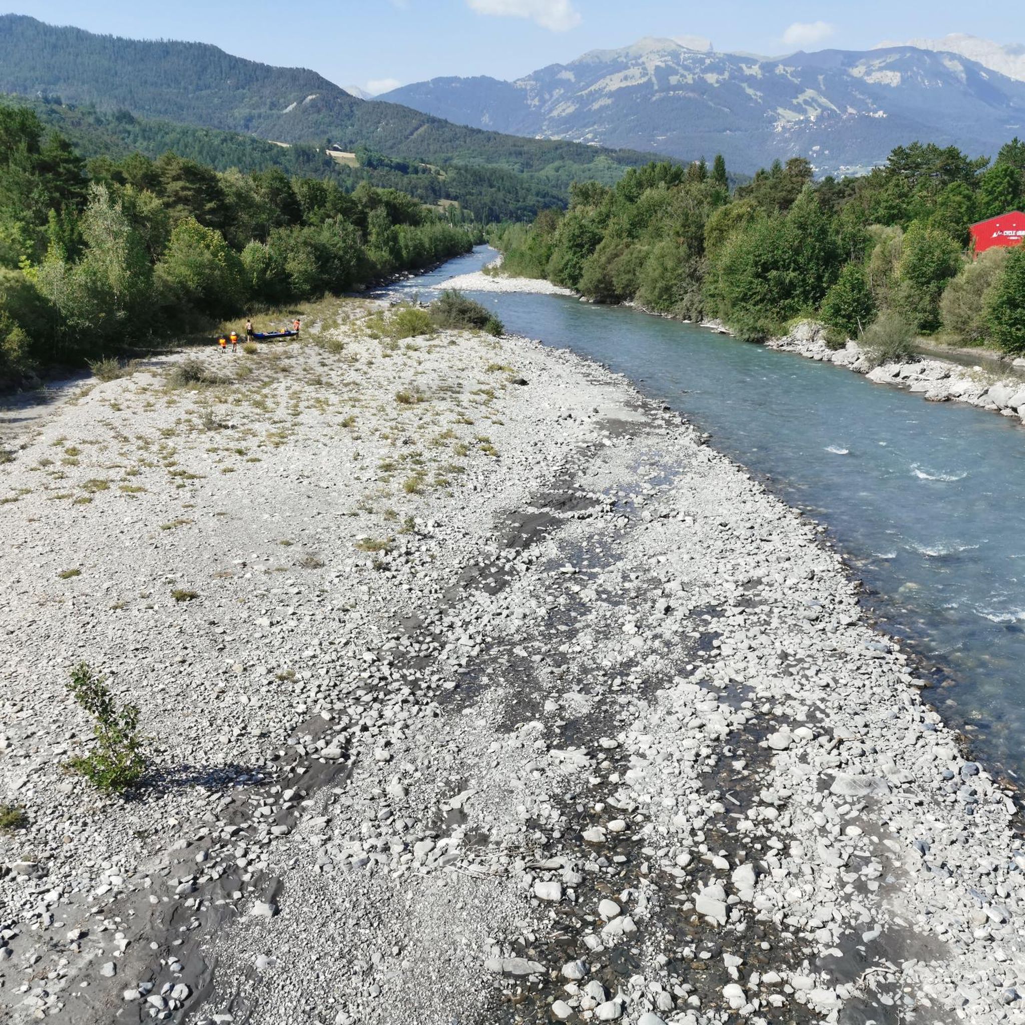
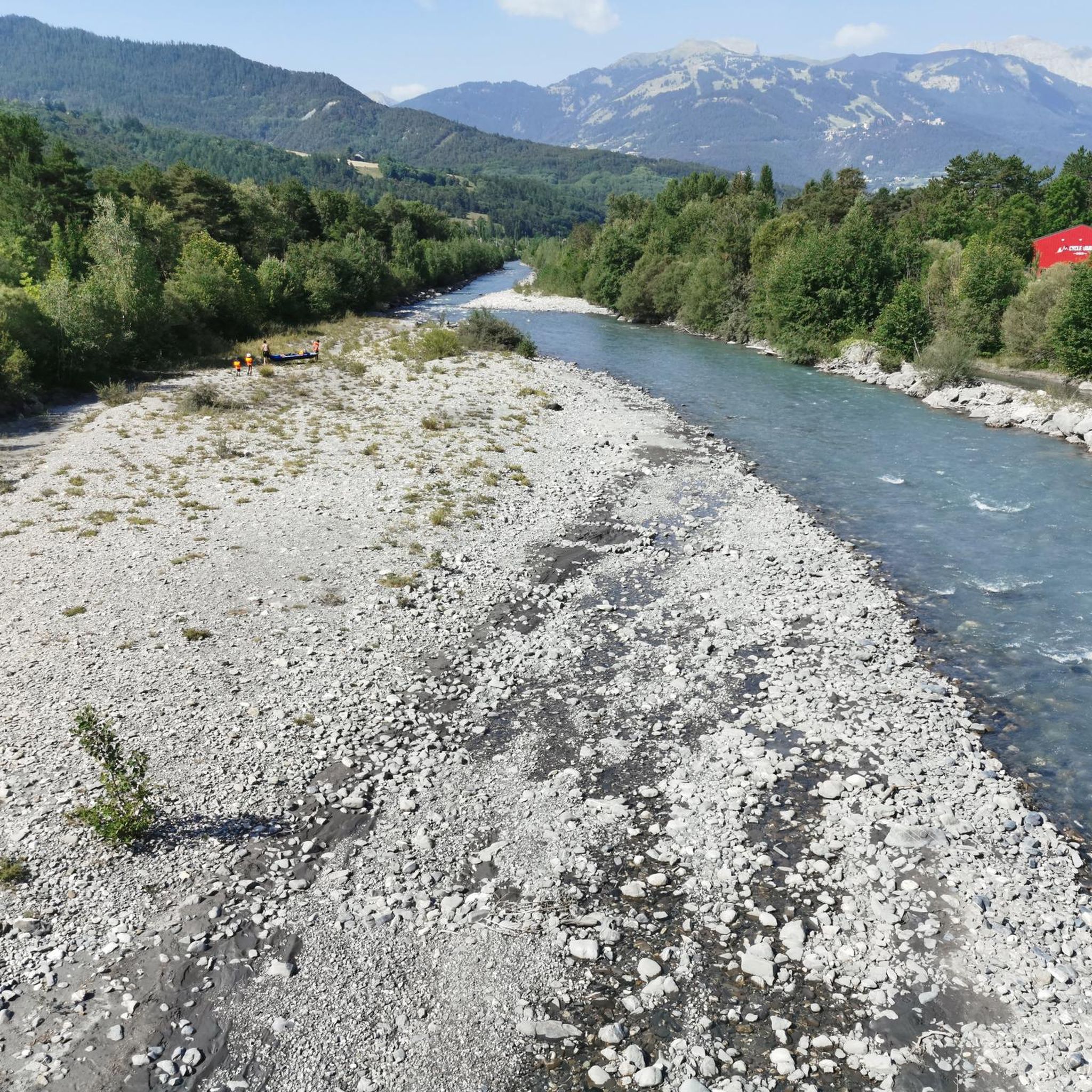
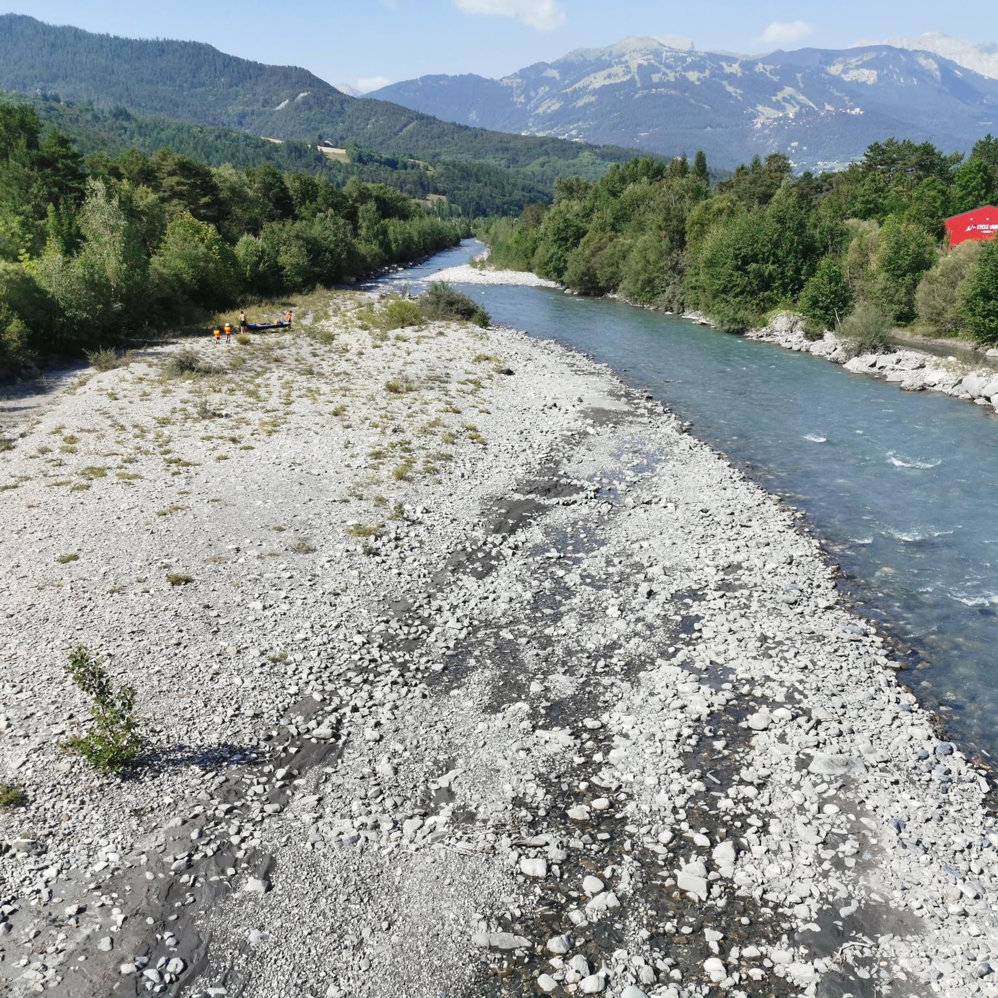
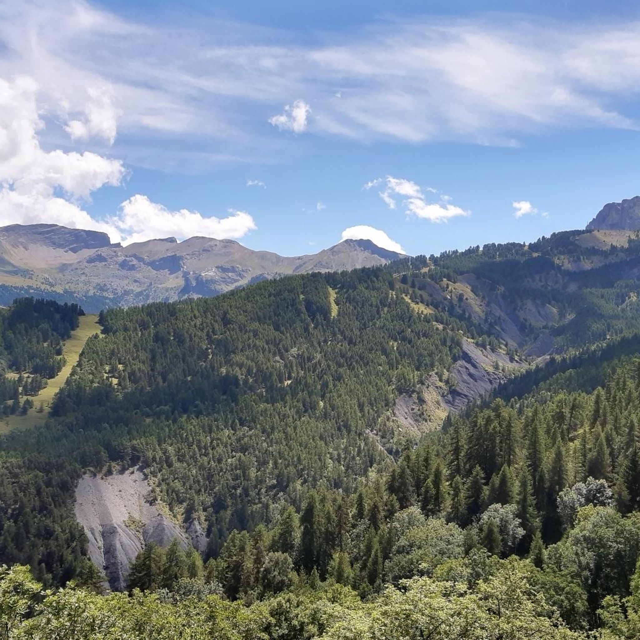
Jogging routes around Enchastrayes are set within the Ubaye Valley in the Alpes-de-Haute-Provence, offering a diverse mountain landscape for runners. The region is characterized by its altitude of 1,450 meters, providing a refreshing climate, and features extensive forests, semi-natural environments, and emblematic peaks like the Chapeau de Gendarme. This area provides a variety of terrain, from valley paths to more challenging mountain ascents, suitable for different running preferences.
Best jogging routes around Enchastrayes
- The most popular jogging route is Chapeau…
Last updated: June 29, 2026
5.0
(1)
40
runners
13.9km
02:25
1,000m
1,000m
Hard run. Very good fitness required. Mostly accessible paths. Some sure footedness required.
49
runners
8.69km
00:55
90m
90m
Moderate run. Good fitness required. Mostly paved surfaces. Suitable for all skill levels.

Sign up for free
25
runners
12.1km
02:13
940m
940m
Hard run. Very good fitness required. Mostly paved surfaces. Suitable for all skill levels.
5.0
(1)
21
runners
8.62km
01:13
390m
390m
Hard run. Very good fitness required. Mostly paved surfaces. Suitable for all skill levels.
3.0
(1)
19
runners
14.8km
01:48
450m
450m
Hard run. Very good fitness required. Mostly paved surfaces. Suitable for all skill levels.
Get access to more routes and recommendations from other explorers.
Sign up for free
Already have an account?
Our route recommendations are based on thousands of hikes, rides, and runs completed by other people on komoot.
Start today with a free account
Your next adventure awaits.
Login or Signup

Tips from the Community

A TRUE GATEWAY TO WILD YET TAMED NATURE AND MAJESTIC MOUNTAIN PASSES
0
0

When it was created in 1878, the Parc de La Sapinière occupied a vast plot of nearly 5 ha that included the current avenue Porfirio Diaz (formerly La Galopine) and its subdivision of villas. The farmhouse of La Sapinière was located on the current site of the residence La Sousta. Having become the property of Antoine Signoret (1895), the Parc de La Sapinière was reduced and divided into lots. The former allée La Galopine became, in September 1907, the avenue Porfirio Diaz, and accommodated no less than four villas including the spectacular Villa Bleue (1929). Reduced to 14,500 m2, its new surface area nevertheless remains one of the largest among the gardens of the villas built on their return from Mexico. Like the parks belonging to the first generation of villas (1870-1890), that of La Sapinière was first and foremost a rustic, nourishing garden, for which the best fruit trees were selected and vegetable plants were gathered in a considerable area: English Reinette apple trees, white court-pendu, chestnut, Bon-Chrétien pear trees, Carmelite lemon, soldier ploughman, Ohio beauty cherry... Access to the farmhouse (also called rustic house) was carefully organized by a head of cultivation who came specially from Grenoble (Pépinières Paul de Mortillet (La Tronche-Isère). "As a border for the path leading to the rustic house, we recommend as rustic plants, if it is partly shaded: ivy and periwinkle especially. For part exposed to the sun: variegated couch grass, ribbon phalaris, blue fescue, vine plumbago, etc. Not forgetting the rose bushes “which also make strong and pretty borders”.
4
0

Beautiful little town with a great pedestrian zone
2
0


Very pleasant, very touristy town.
18
1

The city of Barcelonnette, capital of the Ubaye valley, is located at 1,135 meters above sea level and has a mix of southern and mountainous character. Plaza Manuel, surrounded by beautiful colorful facades, is the nerve center of the historic center. Dominated by the 15th century Cardinalis tower, this highlight of the local atmosphere has pleasant café and restaurant terraces. Around the square, the visit to Barcelonnette continues with a tour of its pedestrian streets full of shops.
1
0


Nice town in the Ubaye valley and base for cycling trips to the Col de la Bonette, Col de la Cayolle and Col du Parpaillon.
0
1
Frequently Asked Questions
How many running routes are available around Enchastrayes?
Enchastrayes offers a wide selection of over 20 running routes, catering to various fitness levels. These trails wind through the stunning Ubaye Valley, providing diverse terrain from gentle valley paths to challenging mountain ascents.
Are there easy or beginner-friendly jogging routes in Enchastrayes?
Yes, while many routes are challenging, there are options suitable for beginners. For a moderate experience, consider the Sapinière Park – Barcelonnette loop from Faucon-de-Barcelonnette, which is about 8.4 km long and features a mix of parkland and urban sections.
What are some challenging running trails for experienced runners in the area?
Experienced runners will find plenty of challenging options. The region is known for its difficult routes, such as the Chapeau de Gendarme loop from Enchastrayes, which covers nearly 12 km with significant elevation gain, offering breathtaking views of the iconic peak.
Are there any circular jogging routes around Enchastrayes?
Many of the running routes in Enchastrayes are designed as loops, allowing you to start and finish in the same location. An example is the Running loop from Enchastrayes, an 8.6 km trail through varied terrain.
What kind of scenery can I expect on the running trails in Enchastrayes?
The trails in Enchastrayes offer magnificent alpine scenery. You'll run through dense forests, along refreshing mountain streams, and often with dramatic backdrops of emblematic peaks like the Chapeau de Gendarme and Pain de Sucre. Many routes provide panoramic views of the Ubaye Valley and its unique geological features.
What are some notable natural landmarks or attractions to see while running?
The region is rich in natural beauty. You might encounter stunning mountain passes like Cayolle Pass or Col de la Bonette. The iconic Gendarme's Hat summit is a prominent feature on some routes, and you can find viewpoints offering vistas of lakes like Lake Allos.
Is Enchastrayes suitable for long-distance running?
Absolutely. The extensive network of trails includes several longer options. For instance, the Chapeau de Gendarme - loop trail in the heart of the Mercantour National Park is nearly 14 km, and the Junction to Sauze loop from Enchastrayes is over 14 km, both offering significant distances and elevation.
What is the best time of year for jogging in Enchastrayes?
The refreshing mountain climate of Enchastrayes, particularly at 1,450 meters altitude, makes it ideal for jogging during the warmer months. Summer offers moderate temperatures perfect for physical activity, and the Le Sauze ski resort transforms into a hub for summer outdoor activities, including trail running.
What do other runners say about the trails in Enchastrayes?
The running routes in Enchastrayes are highly regarded by the komoot community, boasting an average rating of 5.0 stars. Runners frequently praise the stunning natural landscapes, the variety of terrain, and the refreshing mountain environment that makes for an invigorating experience.
Are there any huts or refuges along the running trails for a break?
Yes, the region has several huts and refuges that can serve as points of interest or rest stops. Examples include Refuge du col d’Allos, Refuge de la Pare, and Halte 2000 Restefond. These can be great spots to pause and enjoy the mountain atmosphere.
Can I find a running route around 5k in Enchastrayes?
While many routes are longer, you can find options that are around or slightly above 5k. The Sapinière Park – Barcelonnette loop from Faucon-de-Barcelonnette is 8.4 km, offering a moderate run that could be adapted or partially explored for a shorter distance, or you can look for shorter segments within longer trails.
Most popular routes around Enchastrayes
Most popular attractions around Enchastrayes

Get inspired with the komoot mobile app


Explore more
Browse the best Running Trails & Routes in other regions.
