The best walks and hikes around Saint-Carreuc
4.5
(395)
2,045
hikers
84
hikes
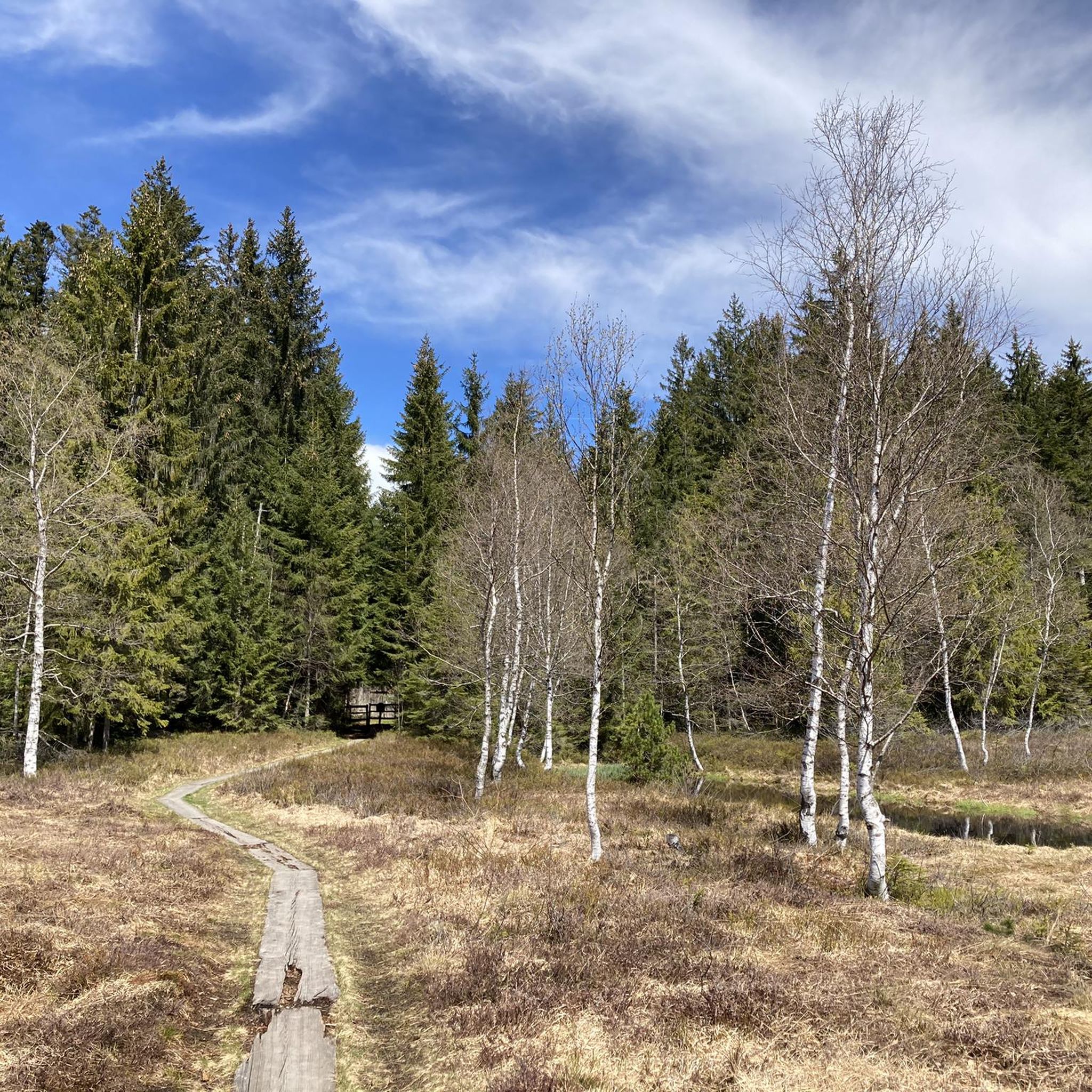
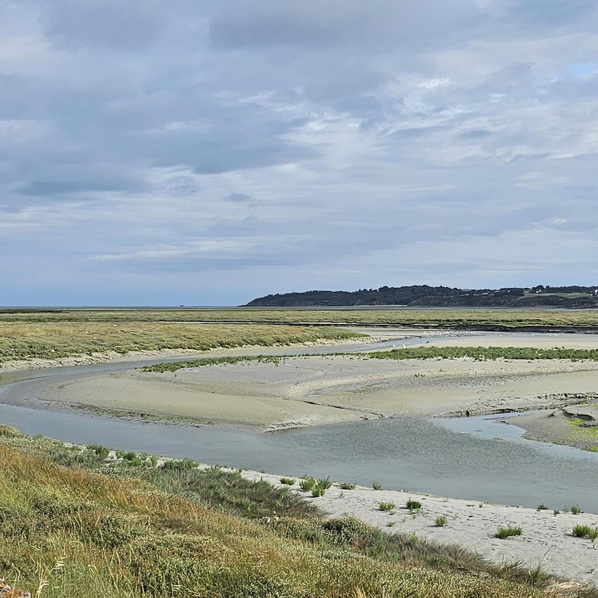
Hiking around Saint-Carreuc offers diverse landscapes, characterized by wooded hills and peaceful valleys traversed by the Urne river and its tributaries. The region is bordered by the Forêt de Lorge to the west and the Landes de Clineuf to the south, providing varied terrain for exploration. Proximity to the Bay of Saint-Brieuc also offers access to dramatic cliffs and coastal paths, enhancing the range of hiking experiences available.
Best hiking trails around Saint-Carreuc
- The most popular hiking route is Cool…
Last updated: July 15, 2026
4.8
(5)
18
hikers
10.0km
02:41
110m
110m
Moderate hike. Good fitness required. Easily-accessible paths. Suitable for all skill levels.
10
hikers
11.5km
03:07
170m
170m
Moderate hike. Good fitness required. Easily-accessible paths. Suitable for all skill levels.

Sign up for free
10
hikers
12.5km
03:24
180m
180m
Moderate hike. Good fitness required. Easily-accessible paths. Suitable for all skill levels.
4.0
(3)
6
hikers
8.80km
02:24
130m
130m
Moderate hike. Good fitness required. Easily-accessible paths. Suitable for all skill levels.
4.0
(1)
3
hikers
15.7km
04:11
180m
180m
Moderate hike. Good fitness required. Easily-accessible paths. Suitable for all skill levels.
Get access to more routes and recommendations from other explorers.
Sign up for free
Already have an account?
Our route recommendations are based on thousands of hikes, rides, and runs completed by other people on komoot.
Start today with a free account
Your next adventure awaits.
Login or Signup

Tips from the Community

This impressive Neolithic menhir has been knocked down and stands tall. It is 5.9 meters long.
2
0

This path borders the Gouët river, which meanders along the mossy rocks, giving to see magical landscapes. If it has rained recently, the path will be muddy. It is therefore necessary to provide appropriate equipment: boots, walking sticks...
1
0
This 5.90 meter high granite menhir is classified as a historical monument. It was erected in the Neolithic.
0
0

Magnificent walk, forest, river, calm, pleasure for the eyes.
0
0

Quite difficult on certain sections but bucolic
0
0


very beautiful rocks in the river that you can also walk on
0
1
Frequently Asked Questions
What kind of terrain can I expect on hikes near Saint-Carreuc?
Hiking around Saint-Carreuc offers a diverse landscape, characterized by wooded hills and peaceful valleys, often traversed by the Urne river and its tributaries. You'll find trails leading through areas like the Forêt de Lorge and the Landes de Clineuf. A unique feature is the Chaos du Gouët, where paths follow the Gouët river through 'magical landscapes' with mossy rocks and river stones, though it can be muddy after rain.
What is the general difficulty level of hiking trails in Saint-Carreuc?
The hiking trails in Saint-Carreuc cater to various fitness levels. Out of nearly 80 routes, you'll find a good mix: 33 are considered easy, 44 are moderate, and there are 2 more challenging trails for experienced hikers. This ensures options for everyone from casual walkers to those seeking a more strenuous outing.
Are there any notable landmarks or natural features to see while hiking around Saint-Carreuc?
Yes, several interesting features await. The 'Balade au Bourg de Paille' route passes the historic Croix du Haut-Bourg and the Château du Plessis. The La Grève des Courses, Saint-Brieuc Bay Nature Reserve is a significant natural monument. You can also explore the unique mossy rock formations along the Chaos du Gouët. For panoramic views, the former Haut-Croc quarry near Saint-Guihen offers glimpses of the distant Bay of Saint-Brieuc on clear days.
Are there any family-friendly hiking options in Saint-Carreuc?
Yes, Saint-Carreuc offers several easy trails suitable for families. The Chaos du Gouët Trail – Cool stone bridge loop from Plaine-Haute is an easy 2.6-mile (4.2 km) path that follows the Gouët river, offering an engaging experience with its unique mossy rocks. The Étang du Plessis also serves as a hub for outdoor activities, with picnic areas and a fitness trail, making it a great starting point for family outings.
Are there any circular hiking routes available in Saint-Carreuc?
Many of the trails around Saint-Carreuc are designed as loops, offering convenient circular walks. For example, the Cool stone bridge – Sainte-Anne du Houlin loop from Saint-Julien is a moderate 8.2-mile (13.2 km) route. Another popular option is the Sainte-Anne du Houlin – Chaos du Gouët Trail loop from Saint-Julien, an easy 4.1-mile (6.5 km) trail.
What is the best time of year to go hiking in Saint-Carreuc?
Saint-Carreuc is enjoyable for hiking throughout much of the year. Spring and autumn offer pleasant temperatures and beautiful scenery, with changing foliage in the wooded areas. Summer is also popular, though trails along the Chaos du Gouët can be muddy after rainfall, so appropriate footwear is always recommended.
Can I bring my dog on the hiking trails in Saint-Carreuc?
While specific regulations can vary by trail, many natural areas and hiking paths in Brittany are generally dog-friendly, especially if your dog is kept on a leash. It's always a good idea to check local signage at trailheads for any specific restrictions, particularly in nature reserves or protected areas.
Are there any viewpoints or scenic overlooks along the trails?
Yes, the region offers several scenic spots. The 'Balade au Bourg de Paille' route provides beautiful viewpoints as it passes through the Plessis estate and into the Landes de Clineuf. On clear days, the former Haut-Croc quarry near Saint-Guihen offers panoramic views that can stretch all the way to the distant Bay of Saint-Brieuc.
What do other hikers enjoy the most about hiking in Saint-Carreuc?
The area is highly rated by the komoot community, with an average score of 4.4 stars from over 360 reviews. Reviewers often praise the diverse landscapes, from peaceful river valleys to the unique mossy rock formations of the Chaos du Gouët, and the well-maintained paths that offer a variety of difficulty levels.
How long do typical hikes around Saint-Carreuc take?
Hiking durations vary depending on the trail and your pace. Easy routes like the Chaos du Gouët Trail – Cool stone bridge loop from Plaine-Haute can be completed in about 1 hour 7 minutes. Moderate trails, such as the Cool stone bridge – Sainte-Anne du Houlin loop from Saint-Julien, typically take around 3 hours 34 minutes. There are options for shorter strolls and longer excursions.
Is there public transport access to hiking trailheads in Saint-Carreuc?
While Saint-Carreuc is a rural commune, public transport options might be limited directly to all trailheads. It's advisable to check local bus schedules for connections to the main village or nearby towns. Many hikers find it most convenient to access trailheads by car, especially for routes starting further afield.
Are there opportunities for wildlife spotting on the trails?
The diverse natural environments around Saint-Carreuc, including wooded areas, river valleys, and proximity to the Bay of Saint-Brieuc, offer good opportunities for wildlife observation. The Bay of Saint-Brieuc, for instance, is a crucial stop for migratory birds, making it a vibrant ecological area. Keep an eye out for local flora and fauna along the riverbanks and in the forests.
Most popular routes around Saint-Carreuc
Most popular attractions around Saint-Carreuc

Get inspired with the komoot mobile app


Explore more
Browse the best Hikes in other regions.
