The 3 Most Amazing Peaks around Ternuay-Melay-Et-Saint-Hilaire
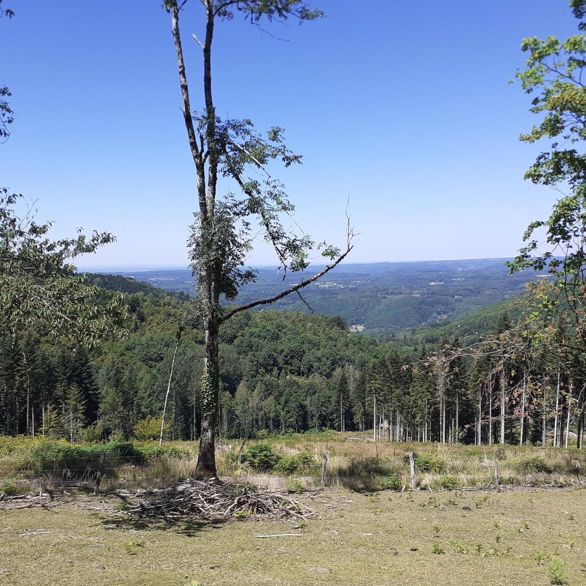
Best mountain peaks around Ternuay-Melay-Et-Saint-Hilaire, a commune located in the Haute-Saône department of Bourgogne-Franche-Comté, France, features elevated areas rather than traditional towering peaks, with altitudes ranging from 345 to 870 meters. The region offers panoramic views, encompassing the unique Plateau des Mille Étangs and glimpses of the distant Ballon de Servance. These locations provide a blend of natural beauty and opportunities for outdoor activities. The area also holds historical significance, particularly at La Montagne de Ternuay.
Best mountain peaks around…
Last updated: October 2, 2026
La Planche des Belles Filles
Highlight • Summit
Translated by Google •
Tip by

Ballon de Servance
Highlight • Summit
The highest point in the Haute-Saône department, the Ballon de Servance is partly …
Translated by Google •
Tip by
Sign up now to discover places like this
Get recommendations on the best single tracks, peaks, & plenty of other exciting outdoor places.
Sailley Refuge and Fountain on the Ballon de Servance
Highlight • Mountain Hut
Translated by Google •
Tip by

Start today with a free account
Your next adventure awaits.
Popular around Ternuay-Melay-Et-Saint-Hilaire

Tips from the Community

The end of the climb is somewhat disappointing. There is nothing marked. No photo opportunity. You have a small parking lot, a closed military road, and a picnic spot well hidden under the trees. At the two yellow signs (mainly for hikers) there is the only indication that you are at the Ballon de Servance and at 1158 m. The climb is "cozy". No cars, completely shaded, a few kilometer markers.
7
0

At the top of the summit!
1
0

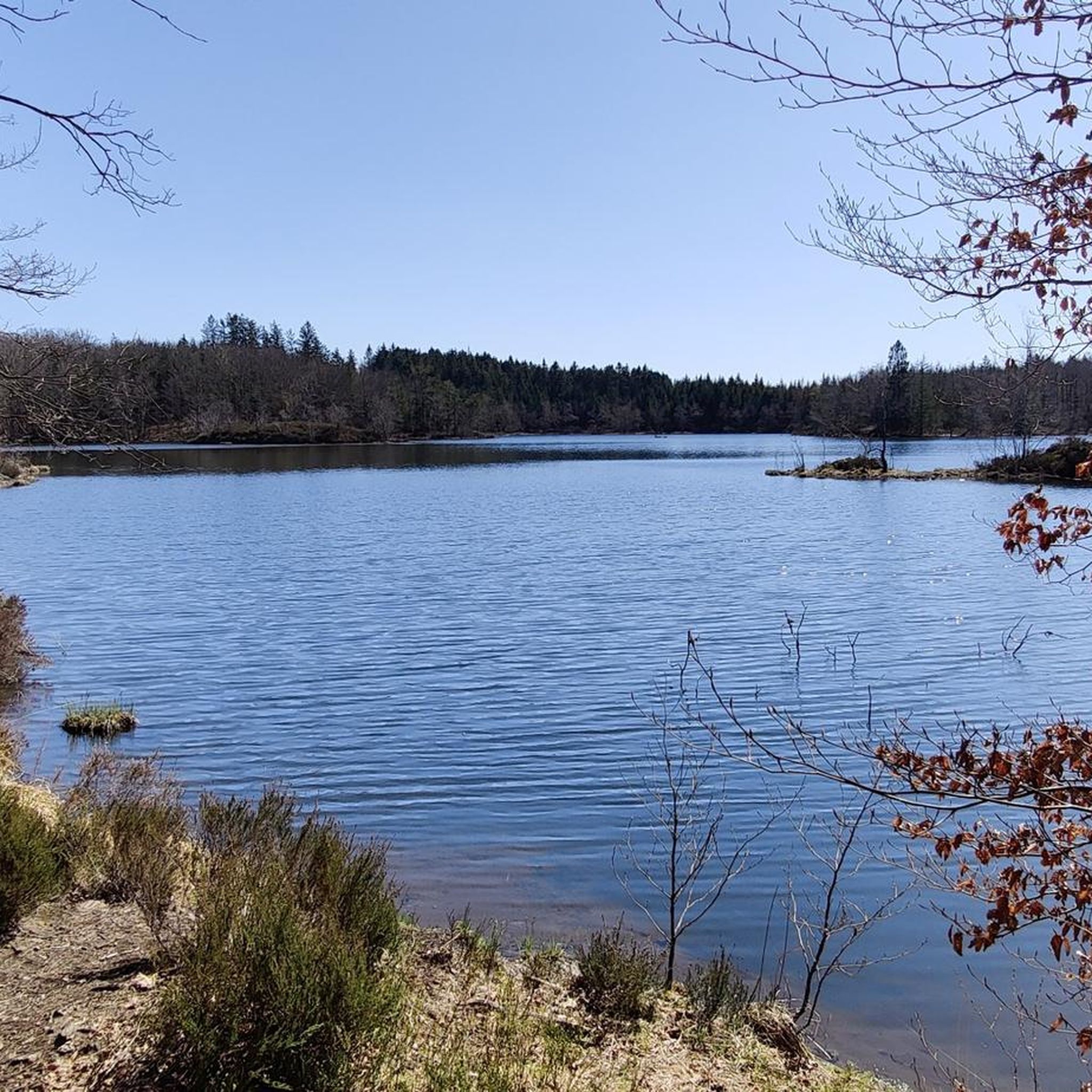
This small, unguarded shelter, called the Salley refuge or Luthier's chalet, has everything a hiker could want: shelter at night; an idyllic setting at Ballon de Servance; a magnificent view of the Ballon d'Alsace; a charming little fountain; and even a stele in memory of American soldiers of the Cold War for the historical aspect.
5
0

In just a few years, this ascent has become, in less than one, an essential summit finish of the Tour de France. And we understand why. The slope is very steep and the landscape on arrival remarkable. The inscriptions on the road and even the encouragement of people encountered along the ascent also contribute to the myth
2
0

The super board deserves its reputation, uneven and stiff, very steep at the end.
1
0

beautiful climb with varied elevations allowing you to make reminders or to rest
1
1

LEGENDARY.. and heavy! Fortunately not too long
3
0

The only road that leads to the summit of Planche-des-Belles-Filles is relatively rarely used by cars. The asphalt in perfect condition and the slopes of more than 25%, however, attract a good number of cyclists. From Plancher-les-Mines, the ascent extends over 7 kilometers, at an average of 8.7% and "walls" at 28%. La Planche-des-Belles-Filles has been the finish line of a stage of the Tour de France 5 times.
7
1
Frequently Asked Questions
What are the most popular elevated areas and peaks around Ternuay-Melay-Et-Saint-Hilaire?
The region features several notable elevated areas. Within the commune, La Montagne de Ternuay offers panoramic views. Nearby, La Planche des Belles Filles is famous for its challenging cycling ascent, and the Ballon de Servance is the highest point in Haute-Saône, offering extensive views.
What kind of views can I expect from the elevated areas in this region?
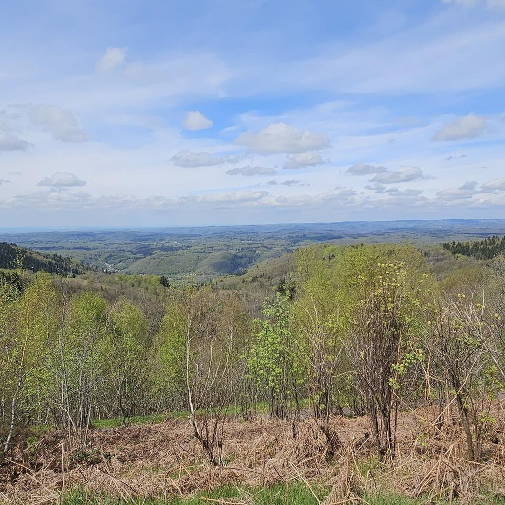
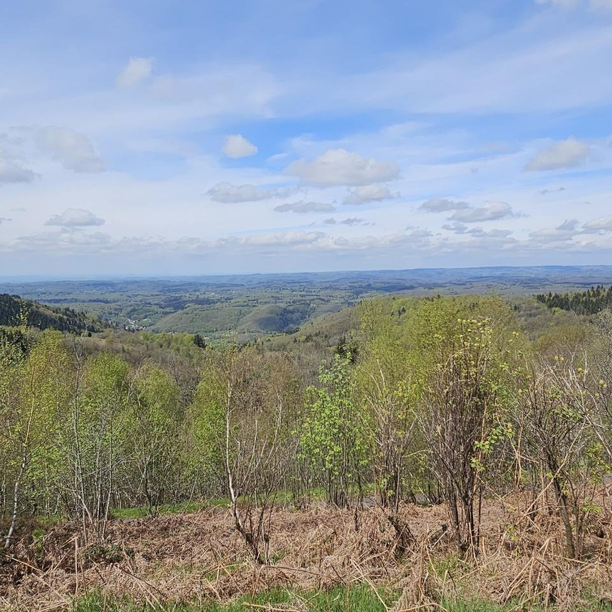
From La Montagne de Ternuay, you can enjoy magnificent panoramic views that include the unique Plateau des Mille Étangs and glimpses of the distant Ballon de Servance. The summit of Ballon de Servance itself provides extensive views across the landscape.
Are there any historical sites on or near the mountain peaks?
Yes, La Montagne de Ternuay holds significant historical importance. It is home to a memorial commemorating a World War II event where local resistance fighters were executed. A stele has been erected at the hamlet of La Montagne in remembrance of these events. Additionally, the Sailley Refuge and Fountain on the Ballon de Servance includes a stele in memory of American soldiers of the Cold War.
What outdoor activities are available near the peaks around Ternuay-Melay-Et-Saint-Hilaire?
The region is excellent for various outdoor activities. You can find numerous cycling routes, including challenging climbs like those around La Planche des Belles Filles. There are also many running trails and general cycling routes. For more details, explore the traffic-free bike rides, cycling routes, and running trails guides for the area.
Is La Planche des Belles Filles suitable for cycling?
Absolutely. La Planche des Belles Filles is internationally recognized as a challenging and iconic finish line for stages of the Tour de France. The ascent from Plancher-les-Mines extends over 7 kilometers with an average gradient of 8.7% and sections reaching 28%. It attracts many cycling enthusiasts looking for a thrilling experience.
Can I hike to the summit of Ballon de Servance?
Yes, the summit of Ballon de Servance is accessible to the public, despite some areas being under military requisition. It rises to 1216 meters and is the highest point in the Haute-Saône department. Be aware that access roads may partially close in winter due to snow.
What is the best time of year to visit the peaks around Ternuay-Melay-Et-Saint-Hilaire?
The best time for hiking and cycling in the Haute-Saône region, including around Ternuay-Melay-Et-Saint-Hilaire, is typically from spring through autumn. During winter, some access roads to higher elevations like Ballon de Servance may be closed due to snow.
Are there family-friendly options for exploring the elevated areas?
While some climbs are challenging, many trails and paths in the elevated areas offer more moderate options suitable for families. Exploring areas like La Montagne de Ternuay can provide enjoyable walks with scenic views without extreme difficulty. Always check specific route details for suitability.
Are there any shelters or refuges available on the trails?
Yes, on the Ballon de Servance, you can find the Sailley Refuge and Fountain (also known as the Salley refuge or Luthier's chalet). This small, unguarded shelter offers a place to rest, an idyllic setting, and a charming little fountain.
What unique natural features can be observed from these elevated areas?
From La Montagne de Ternuay, you can observe the unique landscape of the Plateau des Mille Étangs. The entire region is characterized by its natural beauty, offering diverse flora and fauna typical of the Vosges mountains, especially around Ballon de Servance.
How accessible are the mountain peaks by public transport?
Public transport options directly to the trailheads of these elevated areas can be limited. It is often advisable to use a personal vehicle to reach the starting points for hiking and cycling. Check local transport schedules for the nearest towns and plan accordingly for the final leg of your journey.
Most popular routes around Ternuay-Melay-Et-Saint-Hilaire
Most popular attractions around Ternuay-Melay-Et-Saint-Hilaire

Get inspired with the komoot mobile app


Explore more
See even more amazing summits around Ternuay-Melay-Et-Saint-Hilaire with these guides:
