Top 7 Mountain Passes around Ternuay-Melay-Et-Saint-Hilaire
Best mountain passes around Ternuay-Melay-Et-Saint-Hilaire are situated within a region characterized by its mountainous terrain, forming part of the Vosges mountains. The area features elevations reaching over 1200 meters, offering diverse landscapes of forests and valleys. This geographical setting provides numerous routes for exploring mountain passes. The landscape includes both accessible summits and challenging climbs.
Best mountain passes around Ternuay-Melay-Et-Saint-Hilaire
- The most popular mountain passes is Ballon de Servance, a summit that rises to 1216 meters above sea level.…
Last updated: October 13, 2026
Col des Croix
Highlight • Mountain Pass
Showing Translation
Tip by

Ballon de Servance
Highlight • Summit
The highest point in the Haute-Saône department, the Ballon de Servance is partly …
Translated by Google •
Tip by

Sign up now to discover places like this
Get recommendations on the best single tracks, peaks, & plenty of other exciting outdoor places.
Mont de Fourche Pass
Highlight • Mountain Pass
Translated by Google •
Tip by

Chevrères Pass
Highlight • Mountain Pass
Translated by Google •
Tip by

Col du Ballon de Servance from Plancher-les-Mines
Highlight (Segment) • Mountain Pass
Showing Translation
Tip by
Sign up for free to discover even more mountain passes around Ternuay-Melay-Et-Saint-Hilaire.
Already have an account?
Start today with a free account
Your next adventure awaits.
Popular around Ternuay-Melay-Et-Saint-Hilaire

Tips from the Community

De Col des Croix is a 679-meter-high mountain pass in the French Vogezen massif, located on the border of the Vosges and Haute-Saône departments. The pass forms an accessible connecting road (the D486) between the northern Le Thillot and the southern Servance. At the top, you will find the well-known Le Chalet Snack du Col des Croix, and the road splits towards the D16 (Route des Forts), the route that continues to the higher Ballon de Servance.
6
0
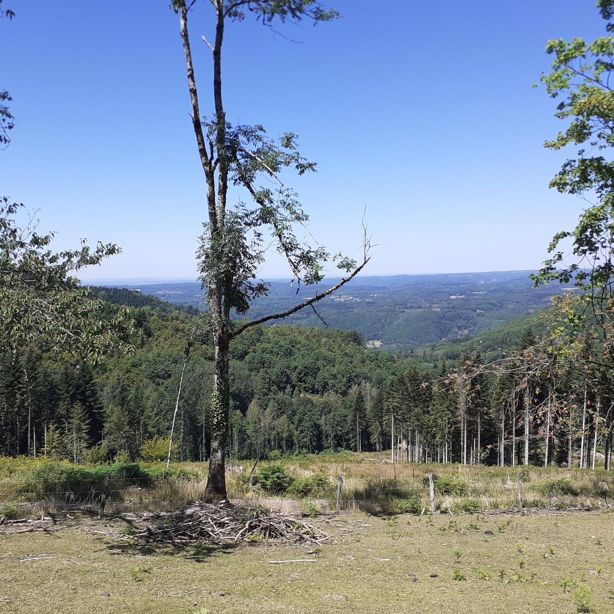
The end of the climb is somewhat disappointing. There is nothing marked. No photo opportunity. You have a small parking lot, a closed military road, and a picnic spot well hidden under the trees. At the two yellow signs (mainly for hikers) there is the only indication that you are at the Ballon de Servance and at 1158 m. The climb is "cozy". No cars, completely shaded, a few kilometer markers.
7
0
From Plancher‑Bas, a long, quiet forest climb begins towards the Ballon de Servance, deep in the Parc naturel régional des Ballons des Vosges. Over more than 18 kilometers, you gain almost 900 meters in altitude, but the real height difference is in the final kilometers: there, stretches of 5 to 12% steadily push you upwards through dense, shady forest. The road is narrow, quiet, and feels purely natural — a climb where you get completely into rhythm. At the top, there is no classic viewpoint, but an open space near the military area: sober, quiet, and precisely for that reason so typical of Servance.
7
0

Very beautiful route, a must-do!
1
0
A small pass after the Ballon de Severance. Refreshment stand with a view.
3
0

Passage of the 2024 Women's Tour de France
1
0

Small collar, easy and pleasant to assemble.
3
0
Beautiful, rather easy passes with a wide and perfectly paved road. Very beautiful laces!
1
0
Frequently Asked Questions
What are some popular mountain passes for cycling in the region?
The region offers several notable passes for cyclists. The Mont de Fourche Pass is known for its fast descent into the Moselle valley and has been part of the Tour de France. Another option is the Col des Croix, which stretches for 4 kilometers from Le Thillot with an average gradient of 4.5% and was also featured in the Tour de France.
Are there challenging mountain passes for experienced hikers or cyclists?
Yes, for those seeking a challenge, the Chevrères Pass offers an epic climb with sections reaching up to 19% gradient. It's described as a beautiful 'goat path' and is known for its demanding nature. The Ascent of Col des Chevrères from Rexelaxert via Miellin is particularly tough from Miellin onwards, with gradients up to 17%.
What is the highest accessible mountain pass in the Ternuay-Melay-Et-Saint-Hilaire area?
The highest accessible point in the Haute-Saône department, located within this region, is Ballon de Servance, which rises to 1216 meters above sea level. While part of the area is used by the army, the summit itself is open to the public.
What kind of views can I expect from the mountain passes?
Many passes offer scenic viewpoints. For instance, the Chevrères Pass provides beautiful views, especially on rainy days when clouds hang between the coniferous forests. The Mont de Fourche Pass also features a viewpoint, offering vistas of the surrounding Vosges landscape.
What is the best time to visit the mountain passes around Ternuay-Melay-Et-Saint-Hilaire?
The best time to visit is generally during the warmer months, from spring to autumn, when the roads are clear and weather conditions are more favorable for outdoor activities. Access roads to higher passes like Ballon de Servance can partially close in winter due to snow, making summer and fall ideal for full exploration.
Are there any less-trafficked mountain passes for a quieter experience?
Yes, the Mont de Fourche Pass is noted for having little traffic, offering a more serene experience. Similarly, the ascent to Ballon de Servance is described as being on a narrow, paved road with very little traffic, allowing visitors to enjoy the lonely nature.
What outdoor activities can I do near these mountain passes?
Beyond exploring the passes themselves, the region offers a variety of outdoor activities. You can find numerous MTB Trails, Running Trails, and Cycling routes throughout Ternuay-Melay-Et-Saint-Hilaire, catering to various difficulty levels.
Are there specific routes for mountain biking near the passes?
Yes, there are several mountain biking routes. For example, you can explore the 'Plateau des mille étangs – Pellevin Pond loop from Écromagny' or the 'Saut de l'Ognon Waterfall – View of Saint Martin Church loop from Servance'. More options are available in the MTB Trails guide for the region.
Can I find running trails that incorporate views of the passes or surrounding nature?
Absolutely. Running trails like the 'View of the Fresse Valley – Chevestraye Pass loop from Fresse' offer scenic experiences. Another option is the 'Grand Rosbeck Pond – Étang Saint-Hilaire loop from Ternuay-Melay-et-Saint-Hilaire'. Discover more in the Running Trails guide.
What do visitors appreciate most about the mountain passes in this area?
Visitors frequently appreciate the diverse landscapes, from accessible summits to challenging climbs. The region is known for its challenging mountain pass hikes, scenic viewpoints, and cycling routes. The komoot community has shown strong engagement, with many upvotes and photos contributed, highlighting the area's natural beauty and outdoor appeal.
Are there any historical connections to the Tour de France in these passes?
Yes, several passes in the region have a history with the Tour de France. The Mont de Fourche Pass has documentation of its inclusion in the race at its summit. Additionally, the Col des Croix was crossed during the Tours de France in both 2014 and 2019.
What are the typical gradients for cycling on these mountain passes?
Gradients vary significantly across the passes. The Col des Croix, for example, has an average gradient of 4.5% over 4 kilometers. However, more challenging climbs like the Chevrères Pass can feature brutal increases of up to 19% in certain sections.
Most popular routes around Ternuay-Melay-Et-Saint-Hilaire
Most popular attractions around Ternuay-Melay-Et-Saint-Hilaire

Get inspired with the komoot mobile app


Explore more
See even more epic mountain passes by checking out these guides around Ternuay-Melay-Et-Saint-Hilaire:
