The best running trails around Les Costes
4.3
(8)
749
runners
54
runs
Jogging routes around Les Costes offer diverse and challenging terrain, characterized by dramatic gorges, scenic mountain passes, and serene lakeside paths. The region features areas like the Gorges de l'Infernet with steep rock formations and the Col du Noyer, providing routes with significant elevation changes. Runners can also find paths along the edge of Saint-Étienne-Cantalès Lake, offering varied surfaces and views. This landscape provides a range of experiences for different running preferences.
Best jogging routes around Les Costes
- The most…
Last updated: July 1, 2026
49
runners
23.6km
03:36
1,180m
1,180m
Hard run. Very good fitness required. Sure-footedness, sturdy shoes and alpine experience required.
11
runners
11.5km
01:35
490m
490m
Hard run. Very good fitness required. Mostly accessible paths. Some sure footedness required.

Sign up for free
4.0
(1)
8
runners
7.83km
00:53
160m
160m
Moderate run. Good fitness required. Mostly accessible paths. Some sure footedness required.
11
runners
26.7km
03:46
1,160m
1,160m
Hard run. Very good fitness required. Mostly paved surfaces. Suitable for all skill levels.
4
runners
7.05km
00:46
110m
110m
Moderate run. Good fitness required. Mostly paved surfaces. Suitable for all skill levels.
Get access to more routes and recommendations from other explorers.
Sign up for free
Already have an account?
Our route recommendations are based on thousands of hikes, rides, and runs completed by other people on komoot.
Start today with a free account
Your next adventure awaits.
Login or Signup
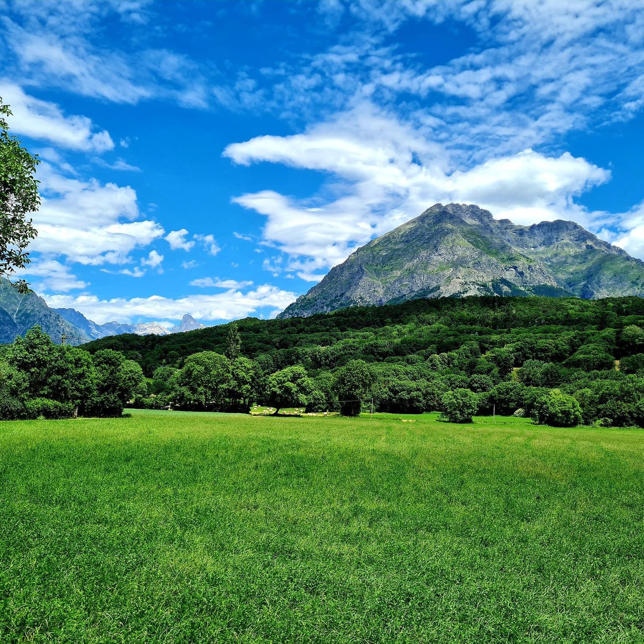
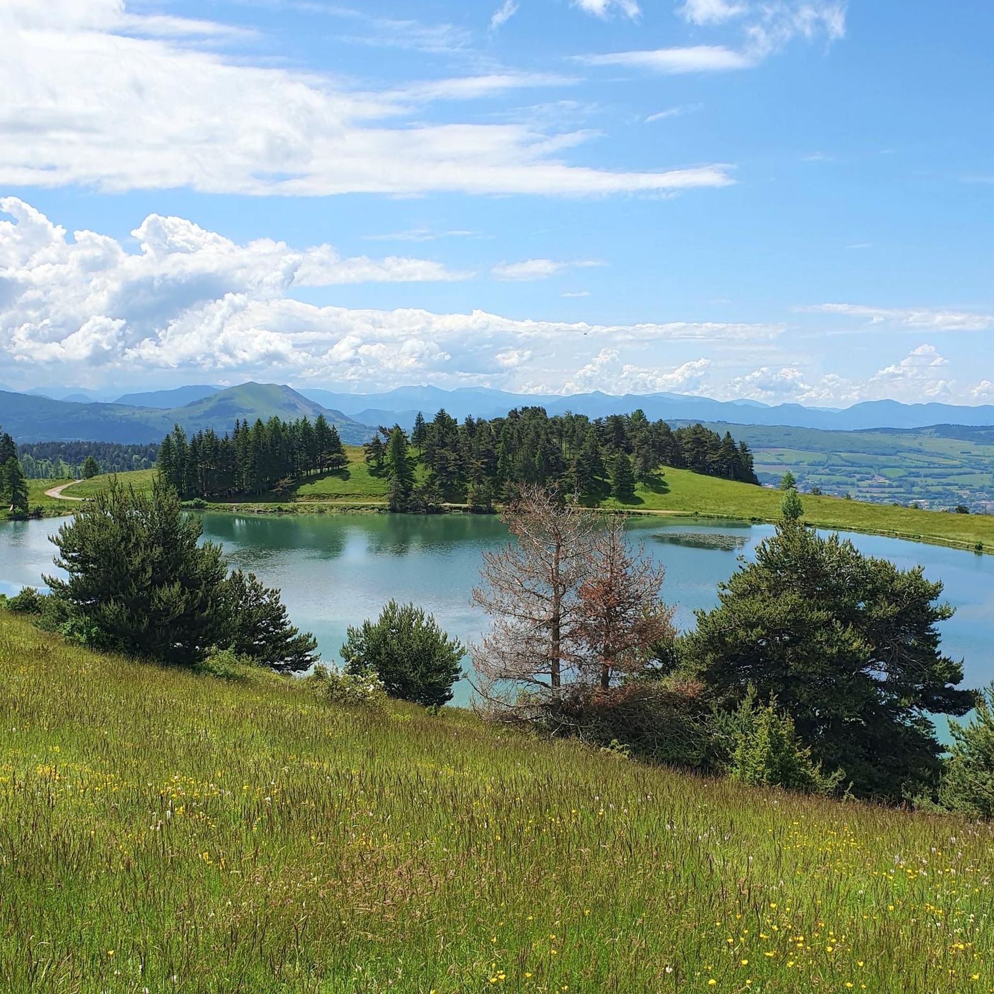
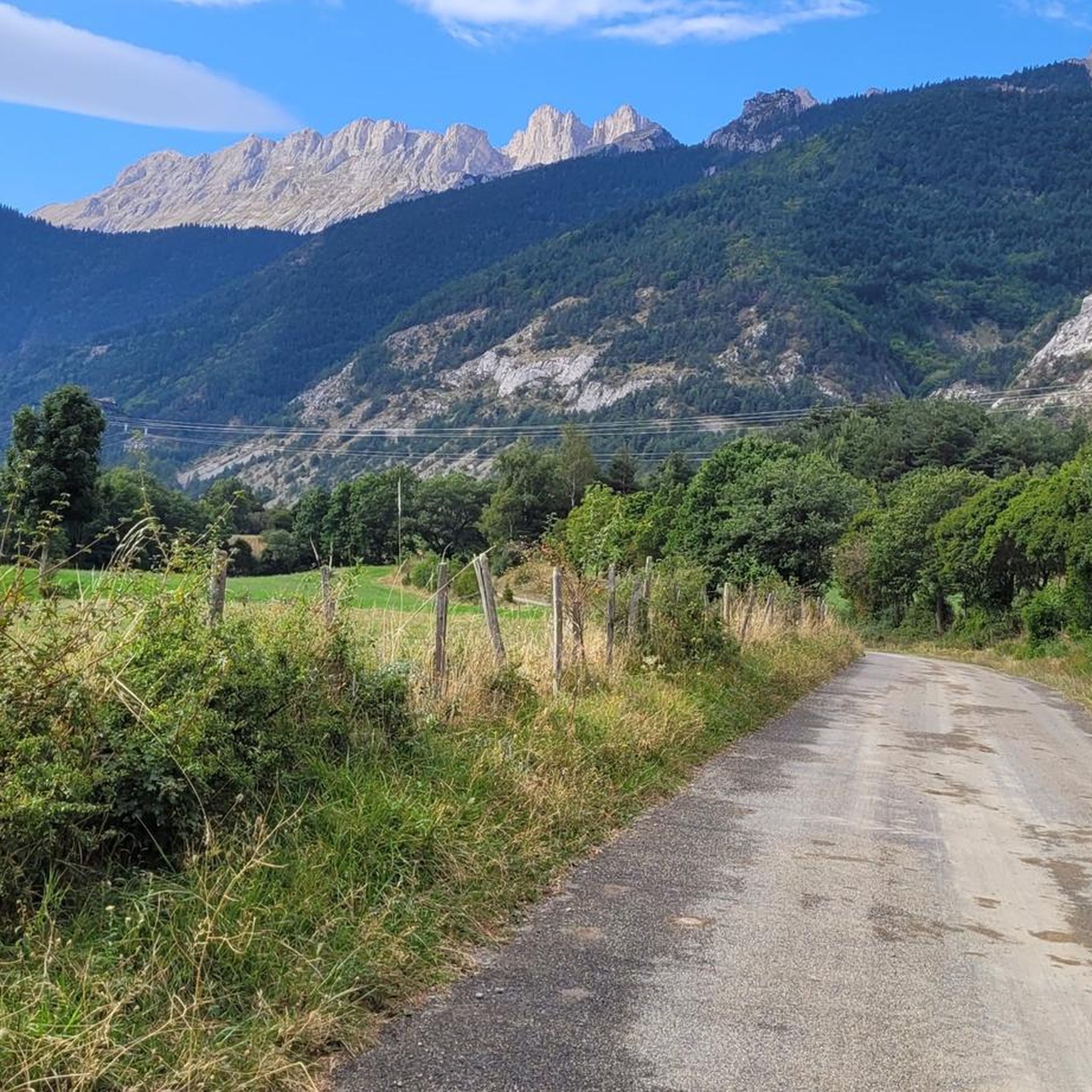
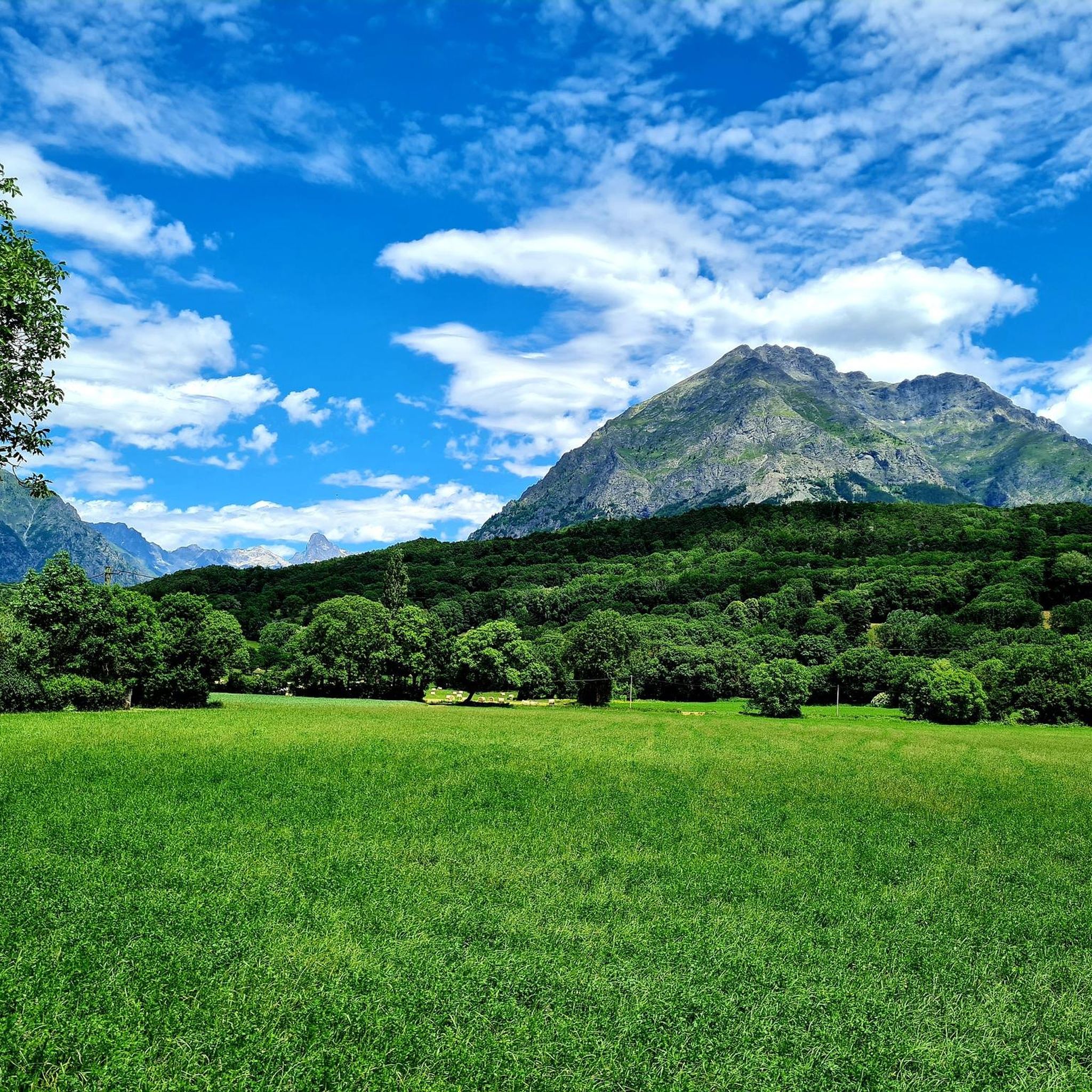
Tips from the Community

At times challenging climb with practically non-existent traffic. Panorama of indescribable beauty.
24
0

Magnificent Switchbacks! Real mountain road. When you arrive from Devoluy, discovering the view of Champsaur is absolutely magnificent. The descent is also very beautiful and fun but beware it remains a pass open to traffic even if the latter remains very light.
0
0

The Col de Noyer is a French mountain pass that separates the valleys of Champsaur and the Dévoluy region, in the Hautes-Alpes department. At an altitude of 1664 m, it is located between the Pic Ponsin and the Tête du Tourneau. It crosses the eastern ridge of the Dévoluy limestone massif.
1
0

Spectacular view. Two different atmospheres on each of the two arrivals, one very mineral, the other more bucolic.
3
0

Low traffic road, very quiet. On the Gapençais side, only one hard ramp (11%), not very long. Magnificent descent on the Dévoluy side, 5* panorama
5
0

Small alpine pass from the Drac valley to the Dévoluy plateau, at the pass a small hut, great view of the Drac valley. Relatively narrow road, little traffic, completely asphalt. More information: https://www.quaeldich.de/paesse/col-du-noyer/
3
0
Frequently Asked Questions
How many running routes are available in Les Costes?
Les Costes offers a wide selection of running routes, with over 50 trails recorded on komoot. These range from easy paths to very challenging mountain runs, catering to various fitness levels.
What kind of terrain can I expect on running trails in Les Costes?
The terrain in Les Costes is incredibly diverse. You'll find dramatic gorges like the Gorges de l'Infernet, challenging mountain passes such as the Col du Noyer, and serene lakeside paths, particularly around Saint-Étienne-Cantalès Lake. Routes can feature steep rock formations, lush vegetation, and significant elevation changes.
Are there running routes suitable for beginners in Les Costes?
Yes, while many routes are moderate to difficult, there are options for beginners. Komoot lists at least one easy running route, and several moderate paths like the Saint-Firmin canal bridge loop from Saint-Firmin, which is 4.9 miles (7.8 km) and takes about 53 minutes, offering a gentler experience.
What do other runners enjoy the most about jogging in Les Costes?
The running routes in Les Costes are highly rated by the komoot community, with an average score of 4.5 stars from over 700 runners. Users often praise the varied terrain, the breathtaking panoramic views, and the opportunity to experience both challenging mountain trails and picturesque lakeside paths.
Are there challenging running routes for experienced runners?
Absolutely. Les Costes is known for its challenging trails. For experienced runners seeking significant elevation gain and demanding terrain, routes like the Col de Saume – Col du Noyer (1664 m) loop from Poligny offer a difficult 16.6 miles (26.7 km) experience with over 1100 meters of ascent.
Can I find running paths near water, like lakes or rivers?
Yes, the region offers beautiful running paths alongside water features. Notably, a trail named 'Les Costes' runs along the edge of Saint-Étienne-Cantalès Lake, providing pleasant lakeside views. Additionally, routes near the Gorges de l'Infernet follow the Souloise River, offering scenic runs through canyons.
Are there any notable landmarks or natural features to see while running in Les Costes?
Many running routes in Les Costes pass by stunning natural features and landmarks. You can encounter the spectacular Infernet Gorge, experience the panoramic views from Col du Noyer (1664 m), or pass through picturesque villages like Villar-Loubière. The Lacs de Pétarel also offer a beautiful natural setting.
Are there circular running routes available in Les Costes?
Yes, many of the running trails in Les Costes are designed as loops, allowing you to start and end at the same point. Examples include the Sentier des Herbeys loop from Saint-Firmin and the N.D. de bois vert loop from Poligny.
Are the running trails in Les Costes accessible by public transport or do they have parking?
While specific public transport details for trailheads are not widely available, many mountain roads in the region, including those leading to popular passes like Col du Noyer, are open to traffic and generally have light usage, suggesting car access and often informal parking opportunities near trail starts. It's advisable to check local information for specific routes.
What is the best time of year for running in Les Costes?
The best time for running in Les Costes generally depends on the elevation. Lower altitude and lakeside routes are pleasant in spring, summer, and autumn. For higher mountain passes and trails, late spring through early autumn (May to October) offers the most favorable conditions, avoiding snow and ice.
Are there family-friendly running routes in Les Costes?
While some trails can be challenging, there are options suitable for families, especially those with older children or those looking for a more leisurely pace. The lakeside path around Saint-Étienne-Cantalès Lake offers a relatively flat and scenic 4 km route, though some parts might have hard surfaces.
Can I bring my dog on the running trails in Les Costes?
Many natural areas in France, including those near national parks like Parc national des Écrins, generally permit dogs on trails, often requiring them to be on a leash. However, specific rules can vary by location and protected areas. It's always best to check local signage or park regulations for the specific trail you plan to run.
Most popular attractions around Les Costes

Get inspired with the komoot mobile app


Explore more
Browse the best Running Trails & Routes in other regions.
