The best running trails around Trébons
4.5
(75)
4,656
runners
213
runs
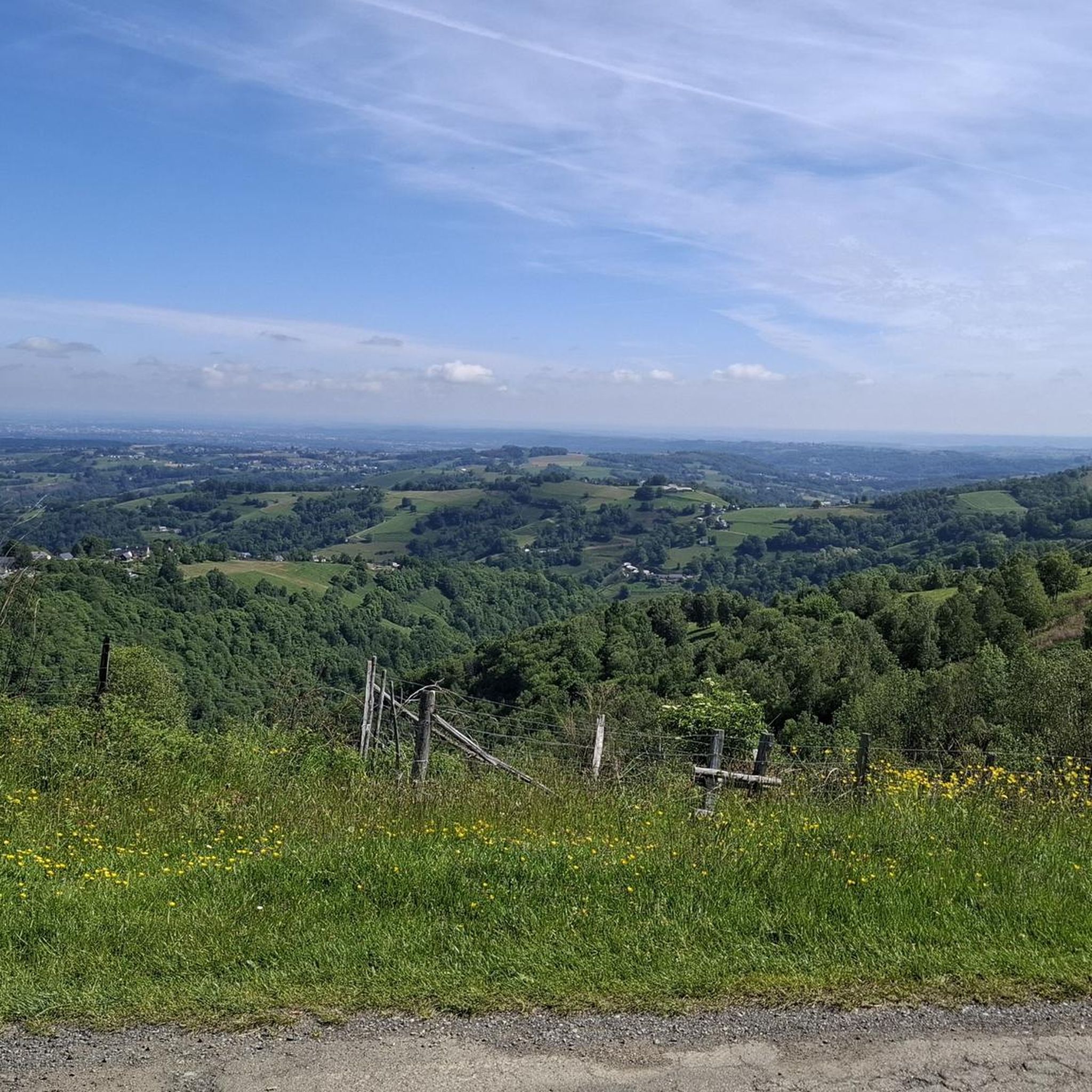
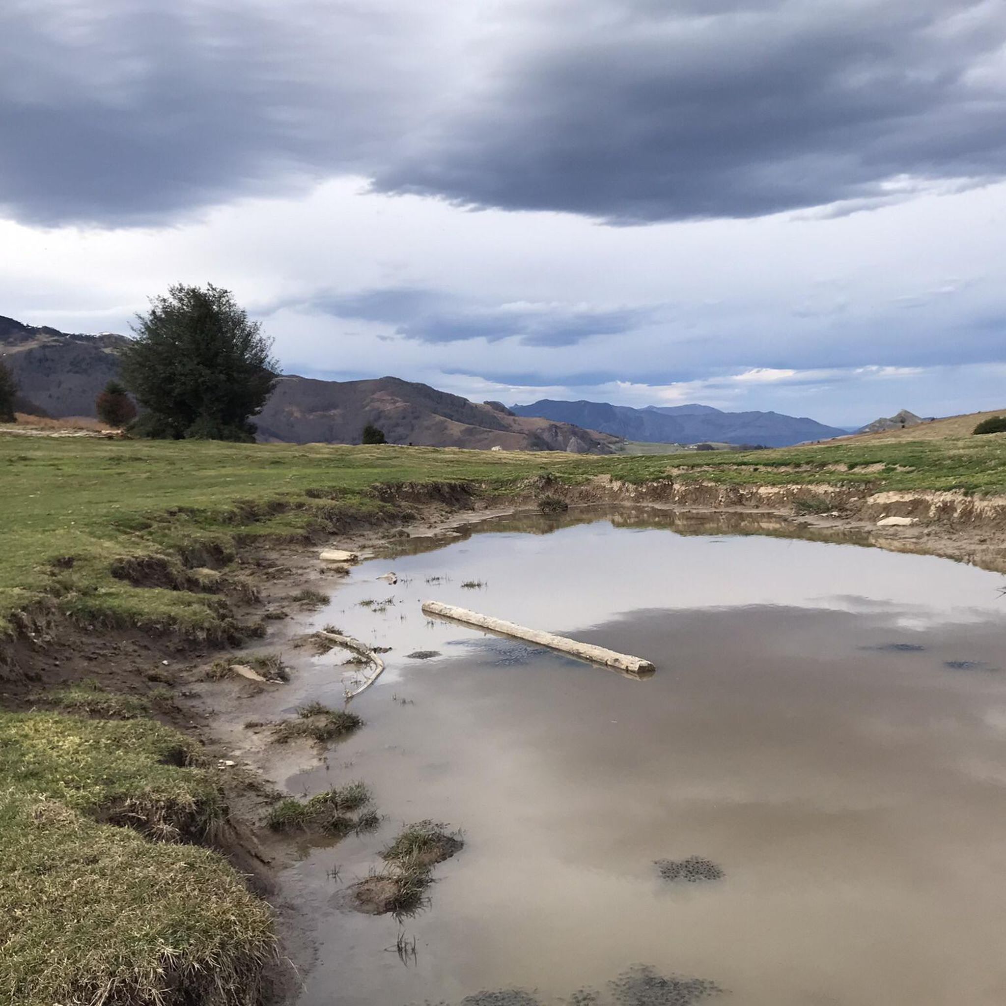
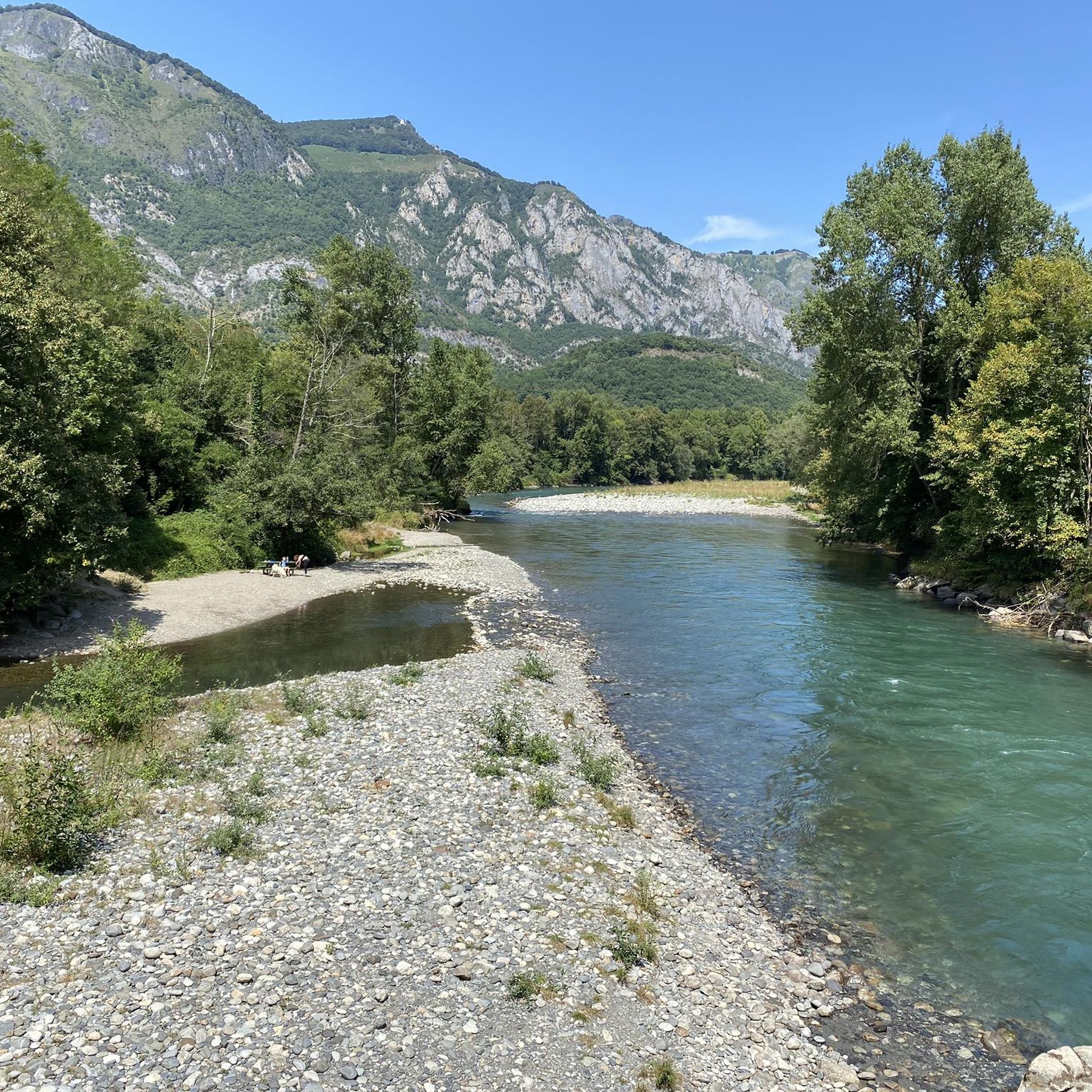
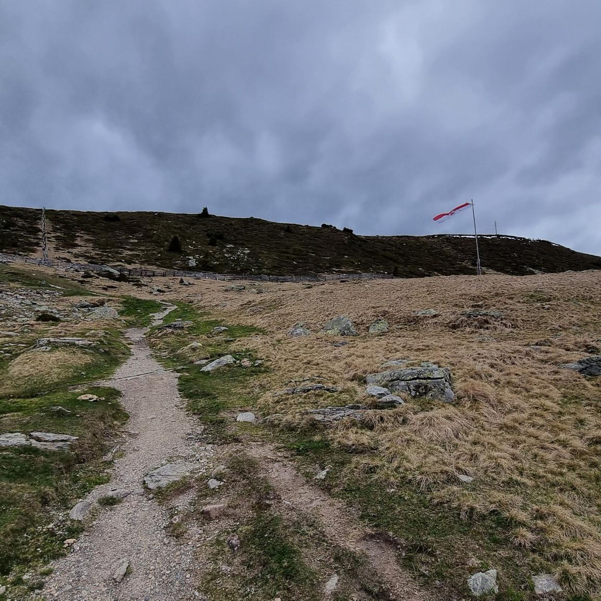
Jogging around Trébons offers access to varied terrain within the Hautes-Pyrénées region of France. The area features a blend of mountainous backdrops and accessible trails, providing opportunities for both leisurely runs and more challenging excursions. The natural setting is characterized by its mountainous terrain, with areas like the western extensions of the Néouvielle and Arbizon massifs contributing to a dynamic running environment. Runners can find paths suited to their preferences, from less mountainous routes to trails with significant elevation gains.
…Last updated: July 4, 2026
64
runners
11.4km
01:23
310m
310m
Hard run. Very good fitness required. Mostly accessible paths. Some sure footedness required.
5.0
(1)
24
runners
6.91km
00:55
230m
230m
Moderate run. Good fitness required. Mostly accessible paths. Some sure footedness required.

Sign up for free
10
runners
9.48km
01:07
270m
270m
Moderate run. Good fitness required. Mostly accessible paths. Some sure footedness required.
8
runners
9.40km
01:01
170m
170m
Moderate run. Good fitness required. Mostly paved surfaces. Suitable for all skill levels.
11
runners
15.2km
01:49
350m
350m
Hard run. Very good fitness required. Mostly paved surfaces. Suitable for all skill levels.
Get access to more routes and recommendations from other explorers.
Sign up for free
Already have an account?
Our route recommendations are based on thousands of hikes, rides, and runs completed by other people on komoot.
Start today with a free account
Your next adventure awaits.
Login or Signup

Tips from the Community

Very worth seeing, you have to see it
0
0

it's totally different from that of the north
0
0

Beautiful old station building and nice use. Unfortunately, a railway cycle path would be much nicer as an alternative to the busy D8.
4
0

Bagnères-de-Bigorre is at the foot of the emblematic Pic du Midi. This spa resort, which dates back to antiquity, is located in a peaceful natural setting. The town is about thirty kilometers from the Col du Tourmalet. The Col d'Aspin, another legend of the Tour de France, is also not far away.
0
0

Passage point to go to Tourmalet, Col d'Aspin or Col de la Hourquette d'Ancizan
0
0

Very nice departure town for the Tourmalet. Located 29 kilometers from the pass, it is 29 kilometers uphill, certainly the first 12 kilometers to reach the official start of the pass offers a slight slope between 3 and 6%, but it will weigh on the legs....
0
0
Frequently Asked Questions
How many running routes are available around Trébons?
There are over 200 running routes in the Trébons area, offering a wide range of options for all abilities. The komoot community has explored these trails extensively, with over 4000 runners using komoot to discover the diverse terrain.
What kind of terrain can I expect on jogging trails near Trébons?
Jogging routes around Trébons feature varied terrain, from less mountainous paths around areas like Bagnères-de-Bigorre to more challenging trails with significant elevation gains. The region is characterized by its mountainous backdrops, including views of the majestic Pic de Midi de Bigorre and Montaigu, providing a dynamic running environment.
Are there any easy running routes for beginners in Trébons?
Yes, Trébons offers several routes suitable for beginners. There are 7 easy running routes available, perfect for those looking for a less strenuous experience while still enjoying the scenic Hautes-Pyrénées foothills.
What do other runners say about the trails in Trébons?
The running routes in Trébons are highly rated by the komoot community, with an average score of 4.6 stars from over 65 reviews. Runners often praise the varied terrain and the beautiful mountainous backdrops that enhance their outdoor experience.
Can I find circular running routes in the Trébons area?
Yes, many of the running routes around Trébons are circular. For example, the Running loop from Ordizan is a popular choice, covering 11.4 km. Another option is the Running loop from Pouzac, which is 6.9 km long and winds through varied terrain.
Are there any notable landmarks or attractions to see while running near Trébons?
While running near Trébons, you can enjoy views of natural features like the Pic de Midi de Bigorre and Montaigu. For specific points of interest, consider exploring areas near Bagnères-de-Bigorre, or highlights such as the Pic du Jer or the Palomières Pass.
Are the running trails in Trébons suitable for families?
While the guide doesn't specifically list 'family-friendly' routes, the presence of 7 easy routes suggests there are options suitable for less experienced runners or families. These trails typically have gentler gradients and shorter distances, making them more accessible.
Is it possible to run with dogs on the trails around Trébons?
The guide does not specify rules regarding dogs on trails. However, in the Hautes-Pyrénées region, it's generally advisable to keep dogs on a leash, especially in natural areas, to protect wildlife and ensure the safety of other trail users. Always check local signage for specific regulations.
Where can I find parking for the running routes in Trébons?
Many running routes in the Trébons area start from villages or towns like Trébons, Ordizan, or Pouzac, where public parking is typically available. For instance, routes like the Running loop from Trébons would likely have parking options within the village itself.
What is the best time of year to go running in Trébons?
The Hautes-Pyrénées region offers fresh air and inspiring vistas, making it enjoyable for running across many seasons. While specific seasonal conditions are not detailed, spring and autumn generally provide pleasant temperatures for outdoor activities. Summer can be warm, especially at lower elevations, while winter may bring snow to higher mountainous areas.
Are there any long-distance running options in Trébons?
Yes, Trébons offers routes for longer runs. For example, the Rocher de la Peyrie – Cloître Saint-Jean loop from Pouzac is a challenging 14.75 km trail, providing a good option for those looking for a more extended workout.
How accessible are the running routes in Trébons by public transport?
Trébons is located in the Hautes-Pyrénées, and while specific public transport links directly to trailheads are not detailed, towns like Bagnères-de-Bigorre are within reach and often serve as hubs for local transport. It's recommended to check local bus schedules for connections to the starting points of your chosen routes.
Most popular attractions around Trébons

Get inspired with the komoot mobile app


Explore more
Browse the best Running Trails & Routes in other regions.
