The best walks and hikes around La Flachère
4.5
(1319)
12,346
hikers
318
hikes
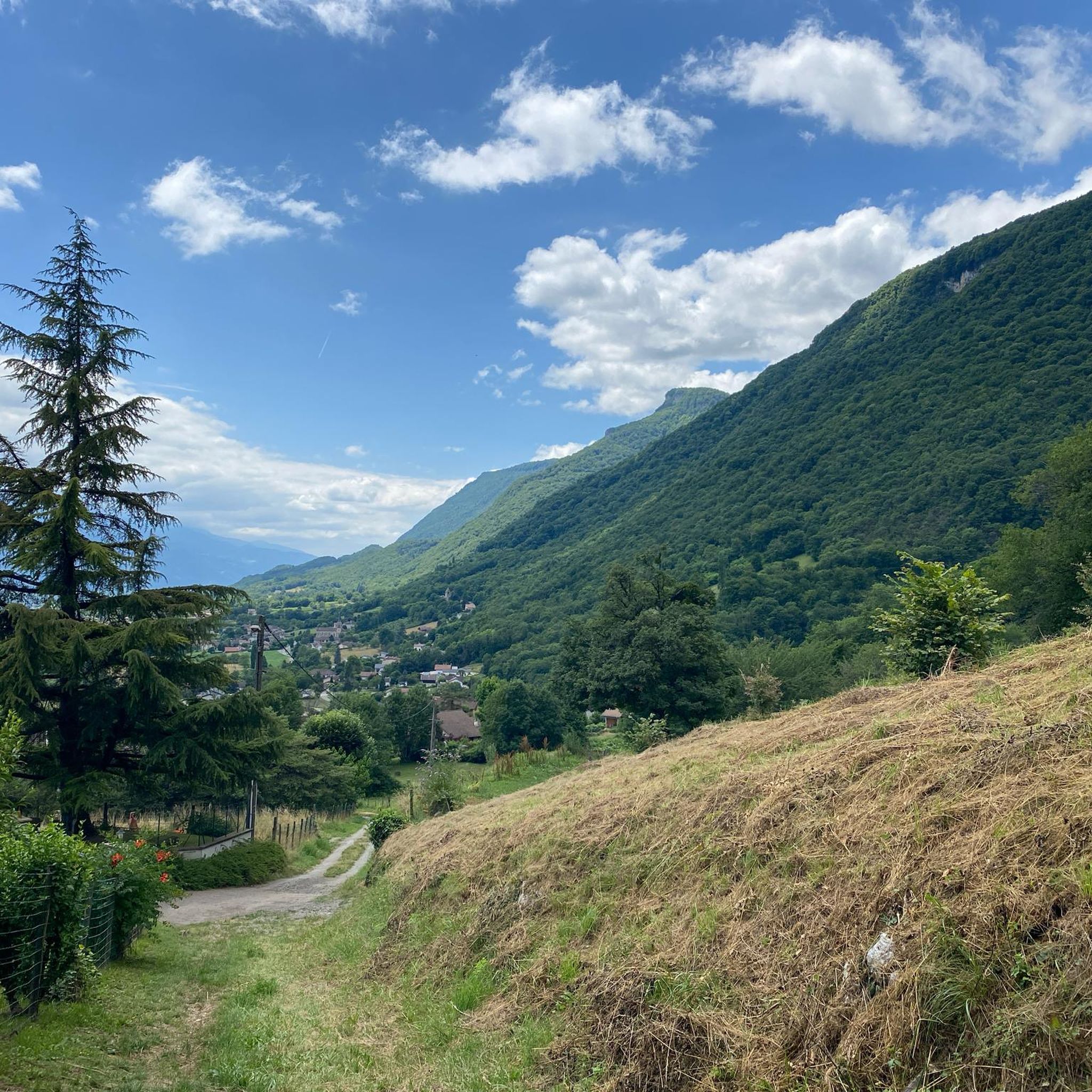
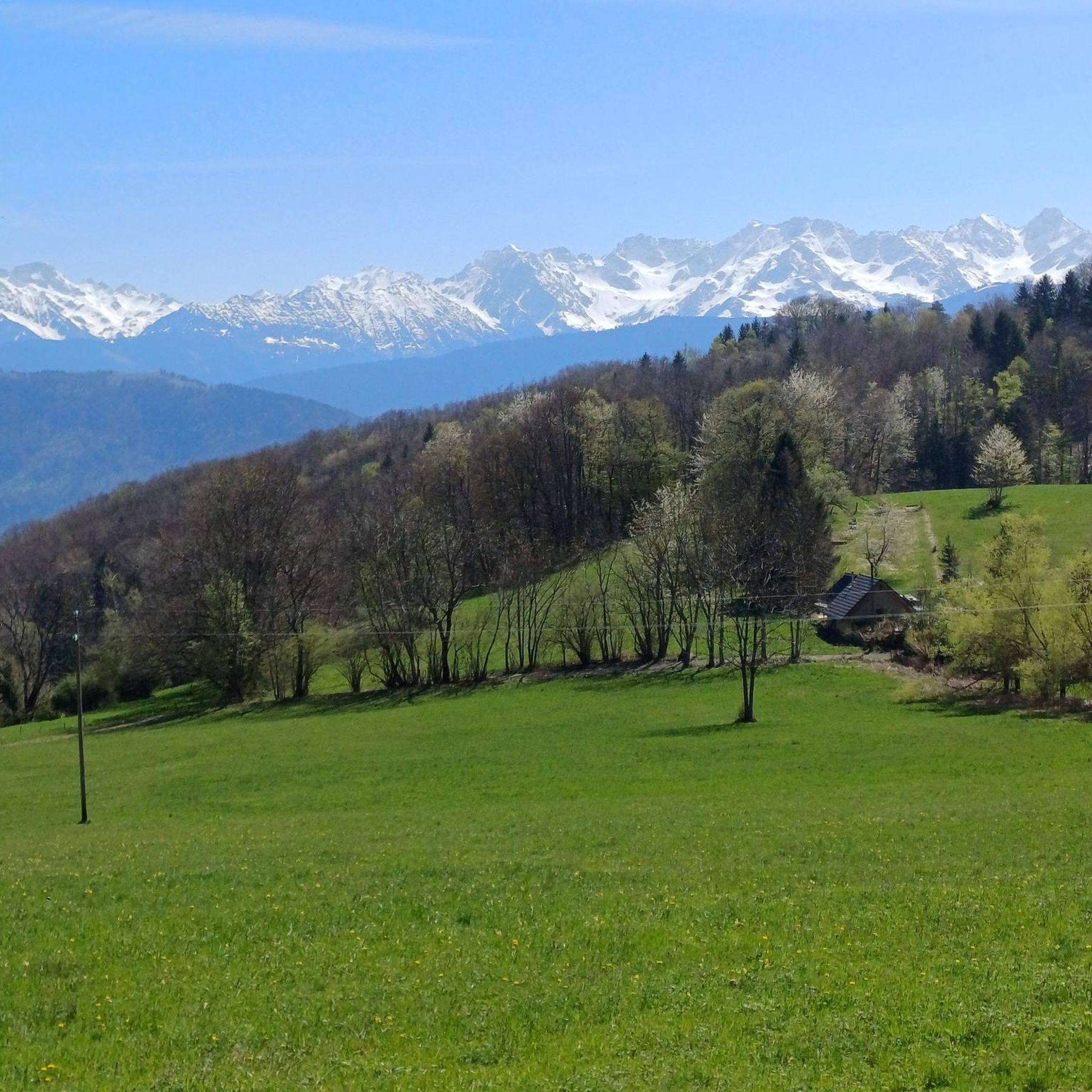
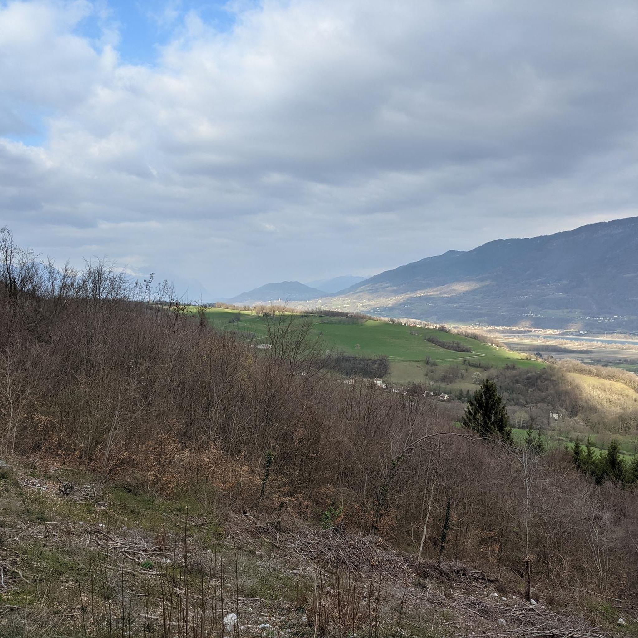
Hiking around La Flachère offers access to diverse natural landscapes within the Isère department of France. The region is characterized by its proximity to the Chartreuse, Vercors, and Écrins Natural Parks, featuring limestone cliffs, dense forests, deep gorges, and alpine meadows. An extensive network of trails caters to various hiking experiences, from gentle walks to challenging ascents. This area provides a rich environment for outdoor activities, with varied terrain and elevation changes.
Best hiking trails around La Flachère
- The most…
Last updated: July 1, 2026
4.8
(28)
166
hikers
3.56km
01:41
260m
240m
Hard hike. Great for any fitness level. Sure-footedness, sturdy shoes and alpine experience required.
4.5
(14)
178
hikers
9.51km
05:05
870m
870m
Hard hike. Very good fitness required. Mostly accessible paths. Sure-footedness required.

Sign up for free
4.7
(63)
480
hikers
5.58km
02:30
340m
340m
Hard hike. Good fitness required. Sure-footedness, sturdy shoes and alpine experience required.
4.3
(3)
85
hikers
3.39km
01:43
260m
260m
Hard hike. Great for any fitness level. Sure-footedness, sturdy shoes and alpine experience required.
5.0
(3)
15
hikers
Hard hike. Good fitness required. Sure-footedness, sturdy shoes and alpine experience required.
Get access to more routes and recommendations from other explorers.
Sign up for free
Already have an account?
Our route recommendations are based on thousands of hikes, rides, and runs completed by other people on komoot.
Start today with a free account
Your next adventure awaits.
Login or Signup
Tips from the Community

Partially steeper ascent, but the critical sections are secured with ropes, footholds or steps. Good footwear important
0
0

They are more beautiful in winter than in summer
1
0
The Gouille Michel waterfall is the first and most accessible of the Alloix waterfalls.
0
0
It is one of the waterfalls of the Alloix, not the highest, but one of the most beautiful.
0
0
pretty waterfall, but you should not stop halfway, and continue to the Grande Cascade
0
0
It's a very small village, next to St Vincent de Mercuse. I didn't see a fountain.
0
0
To be done in dry weather, route that can be dangerous in wet weather. A good part of the route is on the T3 side: difficult. A good pair of hiking boots and good experience are necessary
0
0
The hiking trail along the stream is not in very good condition. Falling rocks and trees obstruct the path. Progress is sometimes tricky. I recommend reaching the large waterfall via the northernmost path, and then turning around.
0
0
Frequently Asked Questions
How many hiking trails are available around La Flachère?
La Flachère offers an extensive network of over 300 hiking routes. These trails cater to various skill levels, with approximately 64 easy walks, 150 moderate routes, and 88 more challenging treks, ensuring options for every hiker.
Are there any family-friendly hiking options near La Flachère?
Yes, the region provides numerous family-friendly walks, especially within the Chartreuse and Vercors Regional Natural Parks. Many trails are designed to be accessible, allowing families to enjoy the natural beauty. Look for routes marked as 'easy' for the most suitable options.
Can I find trails with waterfalls around La Flachère?
Absolutely! The area is known for its beautiful waterfalls. A popular choice is The Alloix waterfalls - loop in the Chartreuse Regional Natural Park, which explores the natural beauty of the Chartreuse Regional Natural Park and features impressive cascades. Another option is the Cirque of Saint-Même, famous for its four waterfalls, including the Sources waterfall and Grande cascade, offering easy, scenic walks.
What kind of terrain can I expect on hikes near La Flachère?
Hiking around La Flachère offers incredibly diverse terrain. You'll encounter limestone cliffs, dense forests, verdant meadows, and deep river valleys. Trails can range from cool undergrowth to alpine pastures, with some routes featuring rocky paths and even elements like ladders or handrails in more challenging sections, particularly in the Chartreuse and Vercors massifs.
Are there any circular hiking routes available?
Yes, many routes around La Flachère are designed as loops, allowing you to start and end at the same point. For example, the Border France - Savoie – Croix de l'Alpe loop from Sainte-Marie-du-Mont offers a challenging circular path with great views. Another option is the Montalieu Village – Gouille Waterfall loop from Sainte-Marie-d'Alloix, which combines village surroundings with a waterfall visit.
What are some notable landmarks or viewpoints I can discover on a hike?
The region is rich in stunning viewpoints and natural landmarks. You can hike to peaks like Crêt du Poulet or La Roche Veyrand for panoramic vistas. The iconic Mont Granier in the Chartreuse massif also offers breathtaking 360° views. Don't miss the View of Lake Saint-André and the Belledonne Range for a picturesque outlook.
What do other hikers say about the trails around La Flachère?
The hiking trails around La Flachère are highly regarded by the komoot community, with an average rating of 4.5 stars from over 1,200 reviews. Hikers often praise the diverse landscapes, from dense forests to impressive limestone cliffs, and the well-maintained paths that lead to stunning natural features like waterfalls and panoramic viewpoints.
Are there any moderate difficulty hikes that offer great views?
Certainly. For a rewarding moderate hike with scenic vistas, consider the View of the Grand Manti loop from Sainte-Marie-du-Mont. This route provides beautiful views and is a great option for those looking for a less strenuous but still engaging experience.
What is the best time of year to go hiking in La Flachère?
The best time for hiking around La Flachère is generally from spring to autumn. Spring brings vibrant wildflowers and pleasant temperatures, while autumn offers stunning foliage. Summer is also popular, but higher elevations can be cooler. Winter hiking is possible, especially on lower trails, but requires appropriate gear and awareness of snow conditions, particularly in the higher reaches of the Chartreuse, Vercors, and Écrins parks.
Are there any longer, more challenging hikes available?
Yes, for experienced hikers seeking a challenge, there are many difficult routes. The region's proximity to the Chartreuse, Vercors, and Écrins National Parks means you can find demanding alpine treks. An example is the Montalieu Village – Charbonnière Waterfall loop from Saint-Vincent-de-Mercuze, which is a longer, difficult route offering a substantial day out.
Is it possible to access hiking trails near La Flachère using public transport?
While specific public transport details for every trailhead can vary, the Isère department has a regional transport network. Many villages and towns bordering the natural parks, which serve as starting points for hikes, are accessible by bus. It's advisable to check local bus schedules for specific routes and stops closest to your desired trailhead.
Are dogs allowed on the hiking trails around La Flachère?
Generally, dogs are welcome on many hiking trails in the region, especially in the Regional Natural Parks like Chartreuse and Vercors, provided they are kept on a leash. However, specific rules may apply in certain protected areas or nature reserves, so it's always best to check local signage or park regulations for the particular trail you plan to hike.
Most popular routes around La Flachère
Most popular attractions around La Flachère

Get inspired with the komoot mobile app


Explore more
Browse the best Hikes in other regions.
