The best walks and hikes around Cras
4.4
(262)
1,633
hikers
104
hikes
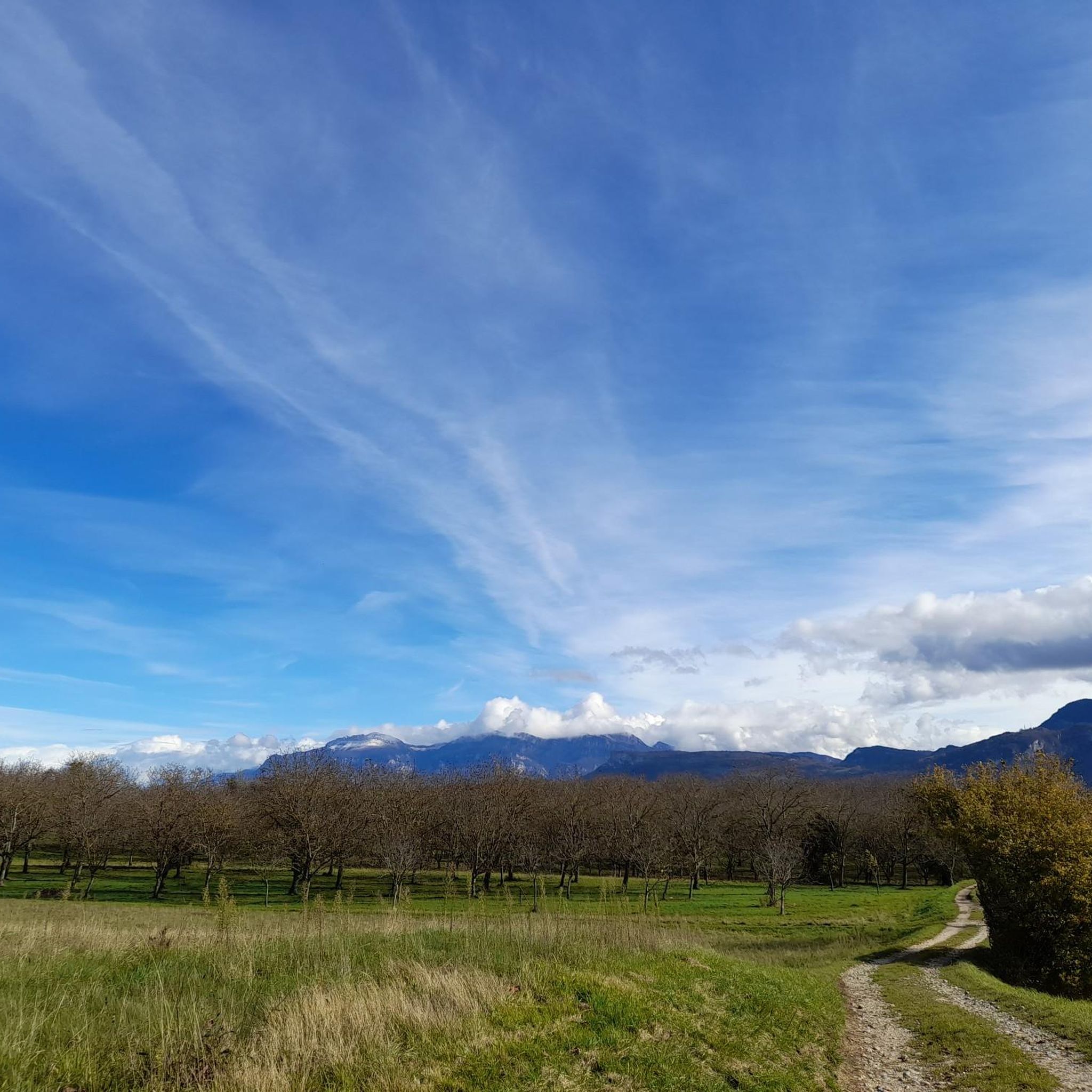
Hiking around Cras offers access to varied terrain, characterized by hilly landscapes and specific natural features such as gorges and passes. The region includes routes with notable elevation changes, indicating a mix of ascents and descents. Trails often lead through areas with distinct landmarks, including sculptures and named geographical points like Col de Châtain.
Best hiking trails around Cras
- The most popular hiking route is Sculptures aux 4 vents Trail, an easy 3.1 miles (5.0 km) trail that takes…
Last updated: July 1, 2026
4.8
(26)
154
hikers
4.96km
01:26
130m
130m
Easy hike. Great for any fitness level. Easily-accessible paths. Suitable for all skill levels.
4.0
(4)
24
hikers
8.00km
02:36
350m
350m
Moderate hike. Good fitness required. Easily-accessible paths. Suitable for all skill levels.

Sign up for free
5.0
(2)
13
hikers
5.66km
01:40
160m
150m
Moderate hike. Great for any fitness level. Mostly accessible paths. Sure-footedness required.
4.0
(2)
19
hikers
9.38km
02:53
330m
330m
Moderate hike. Good fitness required. Easily-accessible paths. Suitable for all skill levels.
4.3
(3)
7
hikers
13.3km
03:59
390m
390m
Moderate hike. Good fitness required. Easily-accessible paths. Suitable for all skill levels.
Get access to more routes and recommendations from other explorers.
Sign up for free
Already have an account?
Our route recommendations are based on thousands of hikes, rides, and runs completed by other people on komoot.
Start today with a free account
Your next adventure awaits.
Login or Signup



Tips from the Community

Vatillieu is a very beautiful village on a small hill that offers a very nice viewpoint
0
0
One of the most beautiful sculptures on the trail
0
0
It is the most beautiful sculpture on the 'sentier des statues aux 4 vents' trail
0
0


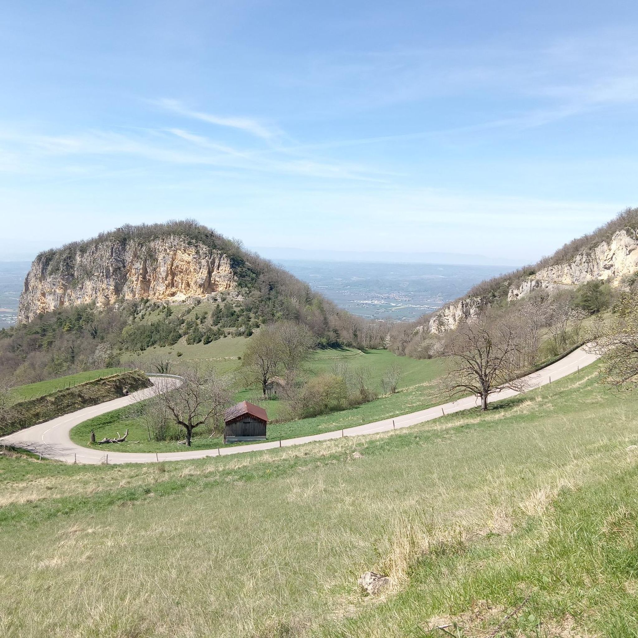
The Col de Chatain from Tullins is 7.23 km long with a total drop of 469 m. The average gradient is 6.49% with maximum gradients of 12%.
2
0

Spice up your run with these amazing sculptures that will keep you interested throughout your run.
2
0

An easy trail to do with children, offering a magnificent view of the Vercors, the Chartreuse and even Belledonne! The sculptures are judiciously placed and exploit the panorama brilliantly.
1
0
Frequently Asked Questions
How many hiking trails are available around Cras?
There are over 80 hiking routes available around Cras, catering to various skill levels. You'll find a good mix of easy, moderate, and challenging trails to explore.
What types of landscapes can I expect on hikes around Cras?
Hiking around Cras features predominantly hilly terrain, with routes often traversing gorges and mountain passes. You'll encounter varied landscapes, including areas with artistic installations and notable geographical points like Col de Châtain.
Are there any easy hiking trails suitable for beginners or families?
Yes, Cras offers several easy trails. For instance, the Sculptures aux 4 vents Trail is an easy 3.1-mile (5.0 km) path that takes about 1 hour 25 minutes to complete, featuring artistic installations in nature. There are 18 easy routes in total.
What are some popular moderate hiking options around Cras?
Many hikers enjoy moderate routes in the area. The Sculpture of a Climbing Figure – Levant Dominant loop from Vatilieu is a popular moderate 6.9-mile (11.1 km) path with significant elevation gain. Another favorite is the Col de Châtain (684 m) loop from Morette, a 4.9-mile (7.9 km) trail leading through hilly terrain to a mountain pass.
What do other hikers say about the trails around Cras?
The hiking routes around Cras are highly regarded by the komoot community, holding an average rating of 4.5 stars from over 250 reviews. Hikers often praise the varied terrain and the unique features like sculptures and mountain passes.
Are there any circular walks available?
Yes, many of the trails around Cras are designed as loops. Examples include the Sculpture of a Climbing Figure – Levant Dominant loop from Vatilieu and the Col de Châtain (684 m) loop from Morette, offering convenient starting and ending points.
What kind of attractions or landmarks can I find near the hiking trails?
Beyond the trails themselves, you can explore several interesting points. Nearby attractions include the Écouges Tunnel and Mortier Tunnel. For those interested in mountain passes, you can find the Col de Châtain (684 m) and Toutes Aures Pass.
Are there any huts or refuges along the routes?
Yes, for those looking for a stop or shelter, you can find the Camp des Carteaux Cabin and the Gève Refuge in the vicinity of the hiking trails.
How long do hikes around Cras typically take?
Hike durations vary depending on the route and your pace. Easy trails like the Sculptures aux 4 vents Trail can be completed in about 1 hour 25 minutes, while moderate loops such as the Col de Châtain (684 m) loop from Morette might take around 2 hours 35 minutes. Longer moderate routes can extend to over 3 hours.
Are there any trails that pass through gorges?
Yes, the region is characterized by gorges. The Roches Corbière gorge – Étangs de la Troussatière loop from Morette is a moderate 3.5-mile (5.7 km) trail that specifically highlights a gorge as a natural feature.
What is the most challenging hike available in the Cras area?
While the guide focuses on easy and moderate routes, there are 10 difficult trails available for experienced hikers. These routes typically involve significant elevation changes and longer distances, offering a more strenuous experience.
Most popular attractions around Cras

Get inspired with the komoot mobile app


Explore more
Browse the best Hikes in other regions.
