The best running trails around Bouyon
4.6
(45)
3,531
runners
173
runs
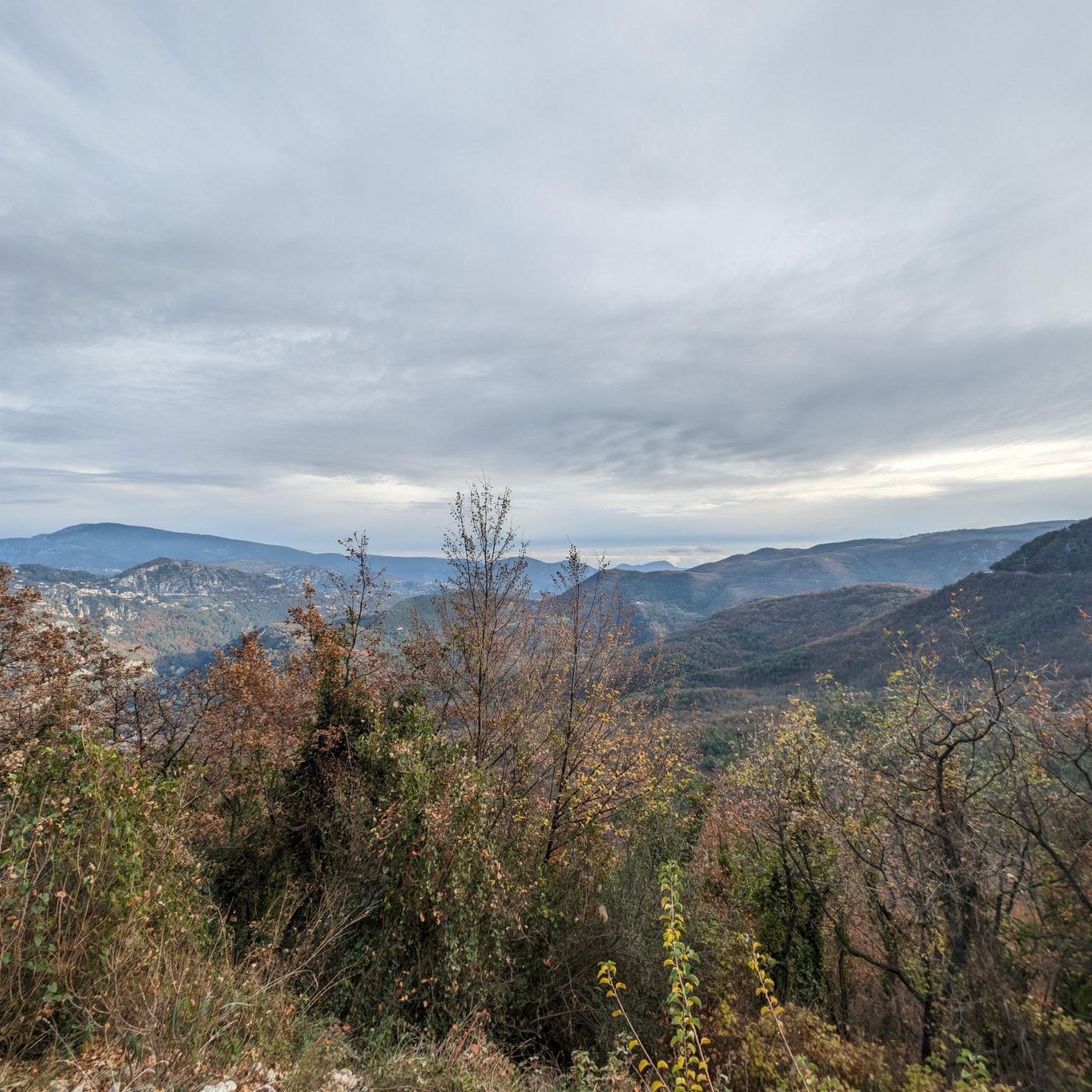
Jogging around Bouyon, located in the Alpes-Maritimes department of southeastern France, offers access to the diverse landscapes of the Préalpes. The region is characterized by mountainous terrain, featuring valleys, deep canyons, and forests, providing varied running routes. Joggers can experience panoramic views of the Alps and the surrounding natural environment. This area provides a natural setting for an active lifestyle, with numerous trails suitable for running.
Best jogging routes around Bouyon
- The most popular jogging route is Mouton d'Anou Loop…
Last updated: June 29, 2026
2
runners
10.3km
01:19
290m
300m
This difficult 6.4-mile running loop from Bézaudun-les-Alpes to Mouton d'Anou offers panoramic views of the Mercantour and Mediterranean Sea
71
runners
4.69km
00:30
30m
20m
Easy run. Great for any fitness level. Mostly paved surfaces. Suitable for all skill levels.

Sign up for free
28
runners
21.3km
03:09
1,200m
1,200m
Hard run. Very good fitness required. Mostly accessible paths. Some sure footedness required.
23
runners
8.38km
01:09
370m
370m
Hard run. Very good fitness required. Mostly paved surfaces. Suitable for all skill levels.
51
runners
3.82km
00:24
20m
10m
Easy run. Great for any fitness level. Mostly paved surfaces. Suitable for all skill levels.
Get access to more routes and recommendations from other explorers.
Sign up for free
Already have an account?
Our route recommendations are based on thousands of hikes, rides, and runs completed by other people on komoot.
Start today with a free account
Your next adventure awaits.
Login or Signup
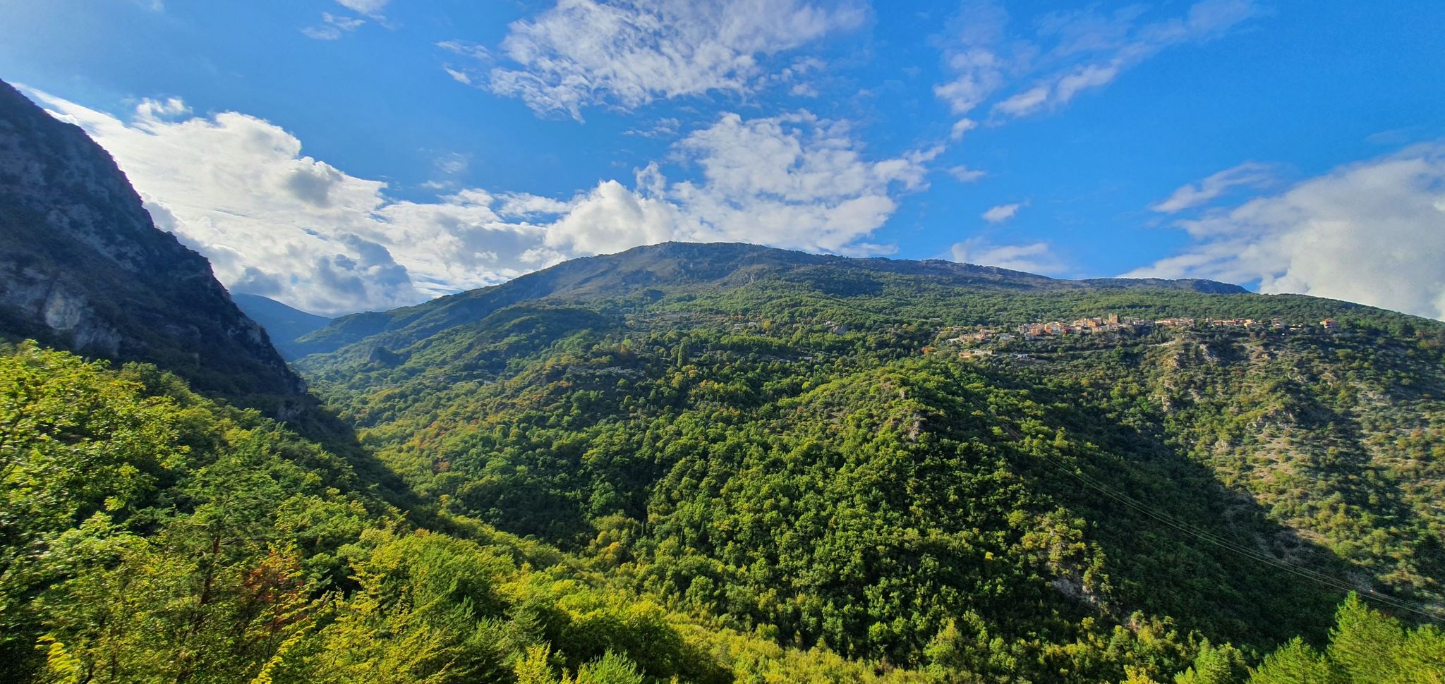
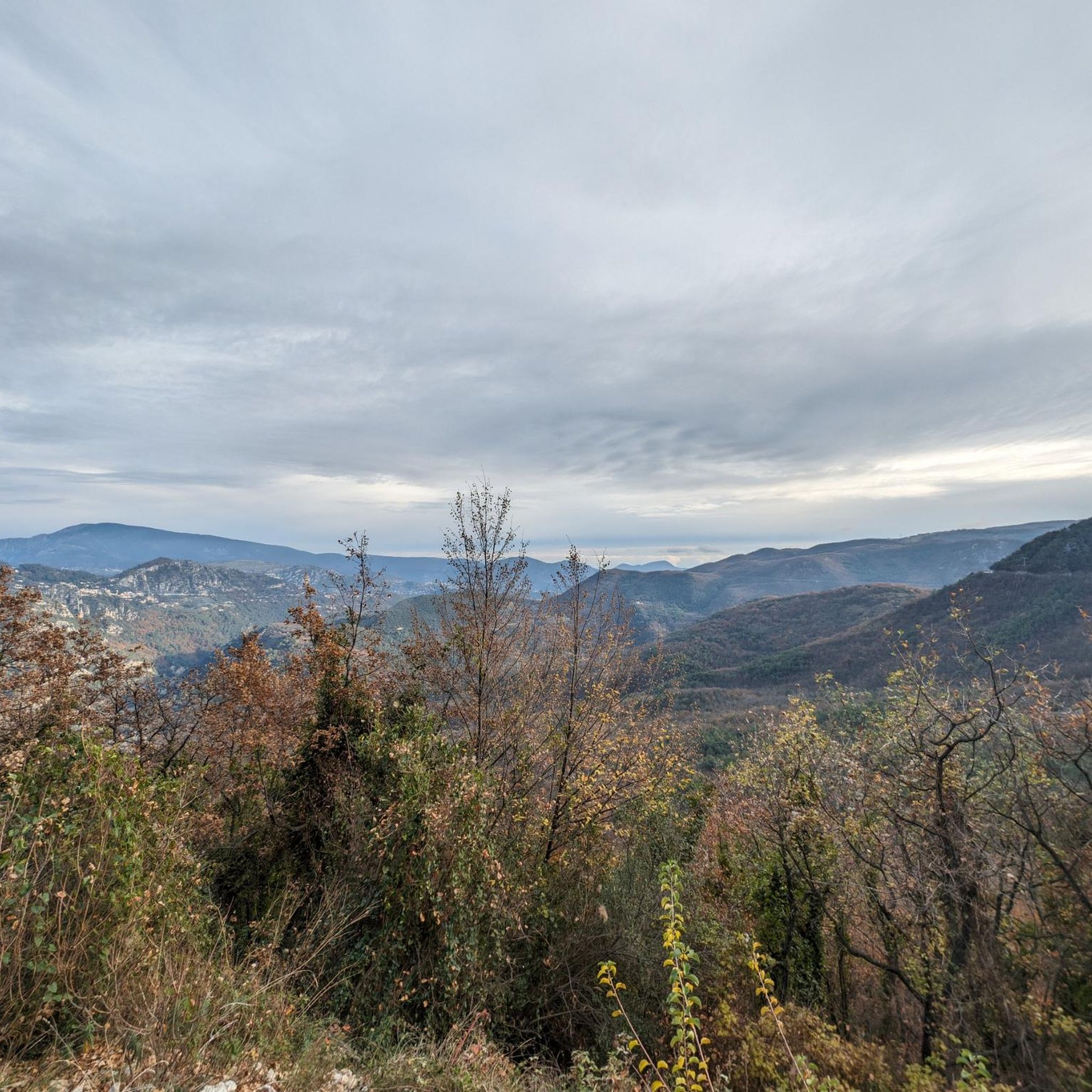
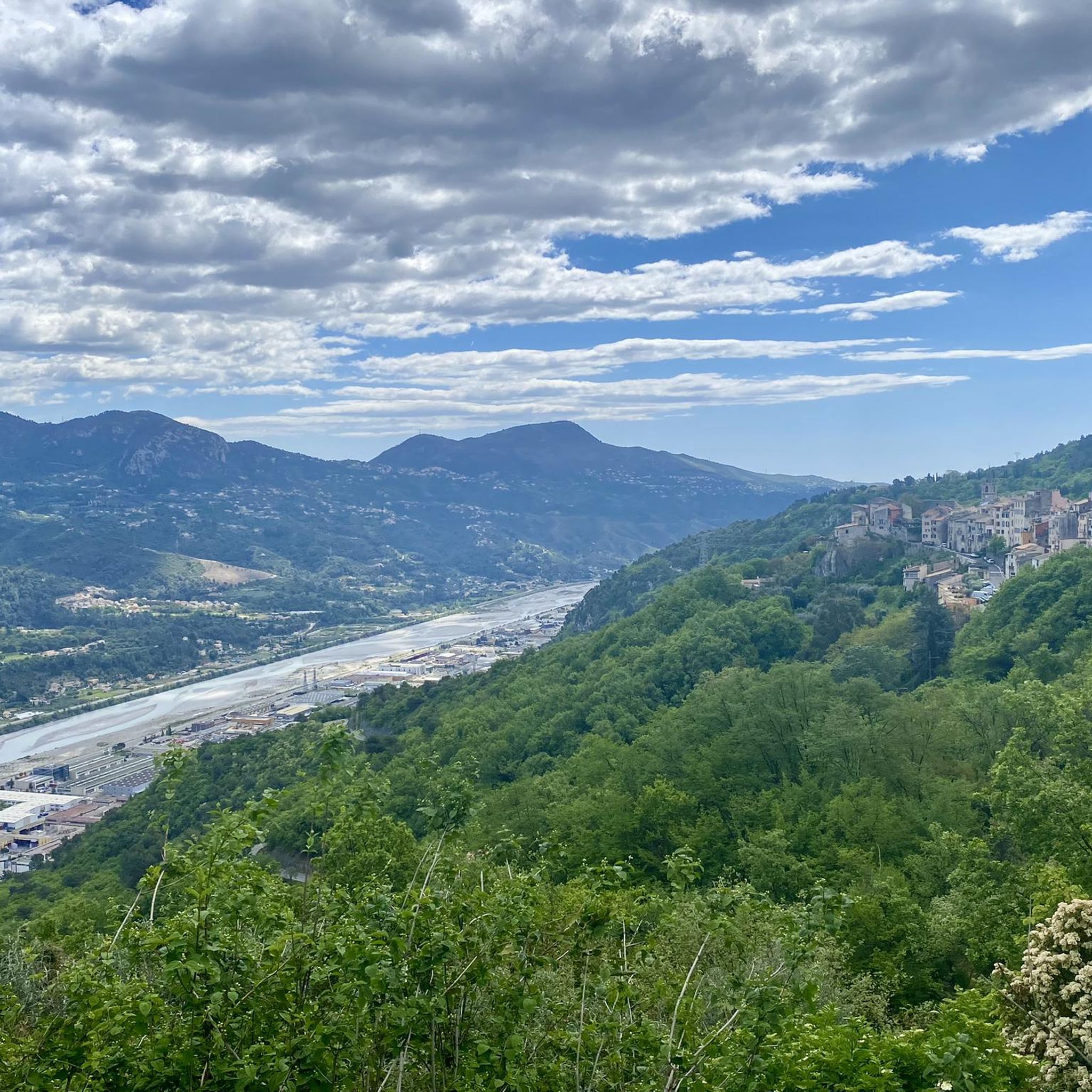
Other adventures around Bouyon

Tips from the Community

If you leave from the Var valley, approximately 450m of elevation gain await you to reach Gilette, on a road in good condition but busy. The view at the top is very beautiful over the valley but also over the Château de Gilette and the surrounding mountains. The village may be a crossing point to reach the villages of the Estéron valley, or even for an ascent of Mont Vial, much higher.
0
0

A picturesque little village overlooking the Var and Esteron valleys and perched high between Carros and Bouyon. Beautiful little streets, old stone buildings and central arcades give this town a lot of charm!
1
1

You will regularly see local cyclists stop for a break in this village. The views are also splendid.
2
1

Belvedere of the village of Gilette, perched on a rocky outcrop overlooking the Estéron and Var valleys. Great views!
1
0

Away from the crowds, Mouton d'Anou is a tranquil, off-the-beaten-path peak that does not disappoint once reached with its views of the Cote d'Azur and the Massif du Cheiron.
4
0


This little village is superb, but it has to be earned by bike!!
0
0

Great boulangerie in Gilette... the best a man can get?
0
0
Frequently Asked Questions
How many running routes are available around Bouyon?
There are over 150 running routes around Bouyon, offering a wide variety of options for all skill levels. These include 7 easy routes, 46 moderate routes, and 104 difficult routes, ensuring there's something for every runner.
What kind of terrain can I expect on running trails near Bouyon?
The terrain around Bouyon is characterized by the spectacular landscapes of the Préalpes. You can expect mountainous paths, valleys, deep canyons, and forests. This varied topography provides diverse and often challenging routes, with opportunities for panoramic views of the Alps.
Are there any easy or beginner-friendly running routes in Bouyon?
Yes, there are several easy running routes suitable for beginners. One popular option is the Lake Broc loop from Le Broc, which is an easy 2.8-mile (4.5 km) path with minimal elevation gain, perfect for a gentle run.
What do other runners enjoy most about jogging in Bouyon?
The running routes around Bouyon are highly rated by the komoot community, with an average score of 4.6 stars from over 40 reviews. Runners frequently praise the diverse terrain, the stunning panoramic views of the Alps, and the peaceful natural environment that allows them to revitalize themselves.
Are there any circular running routes around Bouyon?
Yes, many of the running routes around Bouyon are circular. For example, the Mouton d'Anou Loop is a challenging 6.4-mile (10.3 km) circular trail, and the Lake Broc loop from Le Broc offers an easy circular path.
Are the running trails around Bouyon suitable for families?
While the region offers many challenging routes, there are also options suitable for families. The easier trails, such as the Lake Broc loop from Le Broc, provide a gentle experience that can be enjoyed by families looking for a less strenuous run or walk.
Can I bring my dog on the running routes in Bouyon?
Many natural paths and trails in the Préalpes region are generally dog-friendly, but it's always advisable to check local regulations or specific trail signage. Given the area's focus on outdoor activities like hiking, it's likely many routes are suitable for well-behaved dogs on a leash.
Are there any scenic viewpoints or landmarks along the running routes?
Absolutely! The region is known for its magnificent panoramic views of the Alps. You might encounter notable features like the Col de Vence or the Mouton d'Anou summit, which offer breathtaking vistas. The Gilette Viewpoint loop from Bouyon specifically highlights a scenic outlook.
What is the best time of year to go running in Bouyon?
Bouyon's location in the Préalpes means it offers varied conditions. Spring and autumn generally provide pleasant temperatures for running. Summers can be warm, especially at lower elevations, while winters can bring colder weather and potentially snow in higher mountainous areas. Always check the local weather forecast before heading out.
Are there running routes with parking available near Bouyon?
Many trailheads in and around Bouyon, especially those serving popular outdoor activities, typically have designated parking areas. For specific routes, it's recommended to check the route details on komoot, as parking information is often included by other users.
Are there any cafes or places to rest near the running trails?
Bouyon is a charming village, and while specific cafes directly on every trail might be limited, you can find amenities within the village itself or in nearby towns like Le Broc or Saint-Martin-du-Var. Planning your run to start or end near these villages would allow for refreshment stops.
How accessible are the running routes by public transport?
Bouyon is a tranquil village, and public transport options directly to specific trailheads might be limited. It's located about 30 km northwest of Nice. For detailed public transport information, it's best to consult local bus schedules or regional transport services for connections from larger hubs in the Alpes-Maritimes department.
Most popular attractions around Bouyon

Get inspired with the komoot mobile app


Explore more
Browse the best Running Trails & Routes in other regions.
