The best walks and hikes around Gillois
4.4
(1256)
7,028
hikers
194
hikes
Hiking around Gillois offers diverse terrain within the Jura region of France. The area features a landscape of mountains, dense forests, and dramatic limestone formations. Hikers can explore rolling hills, deep steephead valleys, and river gorges, with the Jura Mountains providing varied elevation changes. The region is characterized by its natural features, including numerous waterfalls and the Ain River.
Best hiking trails around Gillois
- The most popular hiking route is La Source de l'Ain — loop by Doye, a…
Last updated: July 6, 2026
4.6
(59)
379
hikers
9.61km
02:45
240m
230m
Moderate hike. Good fitness required. Easily-accessible paths. Suitable for all skill levels.
4.7
(56)
343
hikers
6.47km
01:50
140m
140m
Easy hike. Great for any fitness level. Easily-accessible paths. Suitable for all skill levels.

Sign up for free
3.9
(8)
108
hikers
4.12km
01:08
70m
70m
Easy hike. Great for any fitness level. Easily-accessible paths. Suitable for all skill levels.
4.7
(6)
52
hikers
15.3km
04:44
420m
420m
Moderate hike. Good fitness required. Mostly accessible paths. Sure-footedness required.
4.0
(6)
46
hikers
5.30km
01:27
90m
90m
Easy hike. Great for any fitness level. Easily-accessible paths. Suitable for all skill levels.
Get access to more routes and recommendations from other explorers.
Sign up for free
Already have an account?
Our route recommendations are based on thousands of hikes, rides, and runs completed by other people on komoot.
Start today with a free account
Your next adventure awaits.
Login or Signup
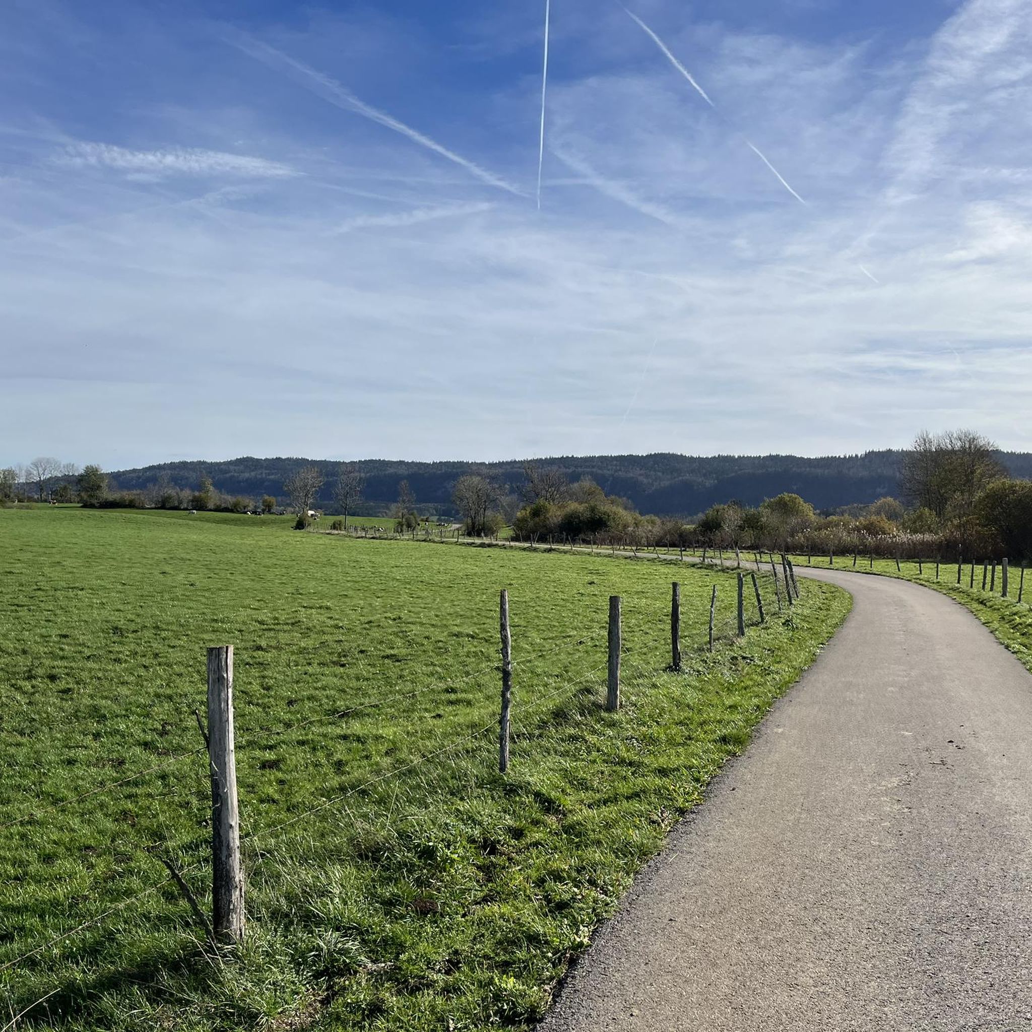
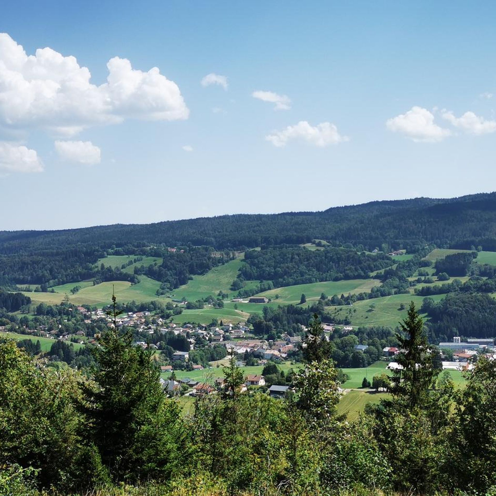
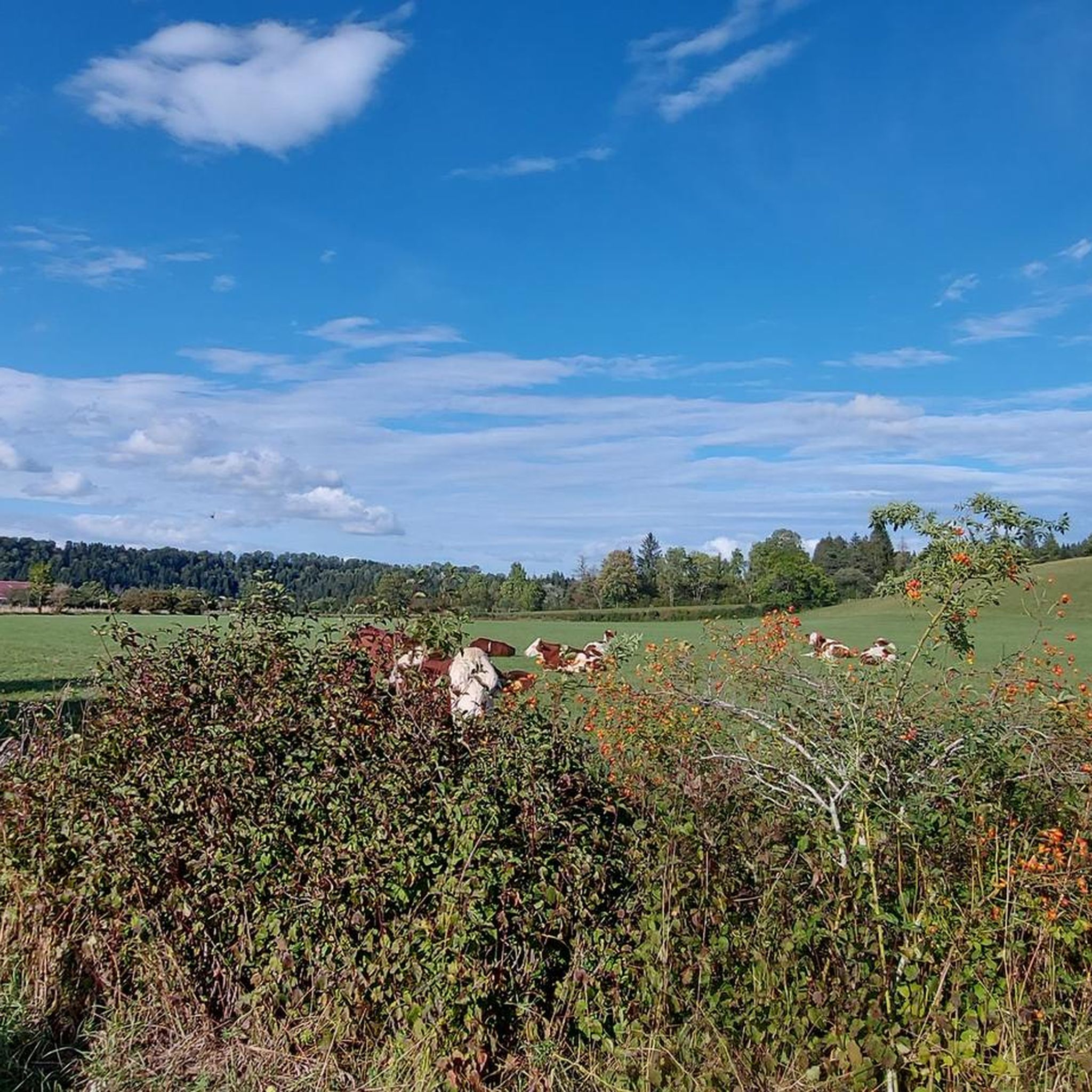
Tips from the Community

View of a magnificent waterfall from the bridge.
0
0


A short walk through the footbridges and belvederes that line the Ain after its departure, magnificent scenery
0
0

Several million years ago, the Ain was lost underground, in a labyrinth of cavities, an underground gallery called "losses". Over time, the work of water erosion has done its work, and has nibbled the limestone and destroyed the vault of the underground gallery. It remains today a unique natural site where water makes its way between rocky piles and stone remains.
0
0
The Serpentine, (first tributary of the Ain river whose source is located a little higher) forms a small lake near the ruins of a mill. It is from a cornice that this beautiful natural waterfall 15 meters high comes to life when the water level is sufficient.
1
0

Very impressive, about 1 km walk from the parking lot nearby, swimming not possible and not recommended
0
0

Ain Falls
0
0

At the source of the Ain, you will find footbridges and interpretation panels to help you navigate and understand the site. A beautiful and relaxing place to take a break from your run.
2
0
Frequently Asked Questions
How many hiking trails are available around Gillois?
There are over 190 hiking trails around Gillois, offering a wide range of options for different skill levels and preferences. You can find routes through diverse landscapes, from forests to river gorges.
What kind of terrain can I expect on hikes around Gillois?
Hikes around Gillois feature a diverse landscape within the Jura region. You'll encounter gently rolling hills, dense spruce forests, pastures, and impressive limestone cliffs. The area is also characterized by deep steephead valleys, river gorges, and numerous waterfalls, providing varied elevation changes and scenic views.
What natural landmarks or attractions can I see while hiking near Gillois?
The region around Gillois is rich in natural attractions. You can explore the dramatic Langouette Gorges, where the Saine River carves its way through a canyon. Other notable sights include the Bief de la Ruine Waterfalls and the Moulin du Saut Waterfall. The Nozeroy settlement also offers historical interest.
Are there any notable waterfalls to visit on hikes around Gillois?
Yes, the Jura region near Gillois is famous for its waterfalls. You can visit the Langouette Gorges with its impressive cascades, the Bief de la Ruine Waterfalls, and the Moulin du Saut Waterfall. The magnificent Billaude Waterfall, a double waterfall plunging 28 meters, is also a must-see, with a well-maintained path to its base.
What do other hikers enjoy most about the trails around Gillois?
The trails around Gillois are highly rated by the komoot community, with an average score of 4.4 stars from over 1,100 reviews. Hikers often praise the diverse terrain, the beauty of the limestone cliffs and dense forests, and the refreshing experience of hiking along river gorges and past waterfalls.
Are there family-friendly hiking options in Gillois?
Yes, Gillois offers many easy trails suitable for families. There are 75 easy routes, many of which are relatively short and feature gentle elevation changes. For example, the 3.9-mile Maillys Falls – Ain Spring loop from Conte is an easy path featuring waterfalls and river springs, perfect for a family outing.
Are dogs allowed on the hiking trails around Gillois?
While many trails in the Jura region are dog-friendly, it's always recommended to keep dogs on a leash, especially in areas with wildlife or near livestock. Specific rules may apply within the Haut-Jura Regional Nature Park, so checking local signage is advisable.
Are there challenging hikes around Gillois for experienced hikers?
Yes, for experienced hikers seeking a challenge, there are 12 difficult routes around Gillois. These trails typically feature greater distances and more significant elevation gains, traversing rugged terrain and offering rewarding views of the Jura landscape.
What is the best time of year to hike in Gillois?
The spring and summer months are ideal for hiking in Gillois, when the weather is pleasant and alpine flowers bloom in the meadows. In winter, the Jura Mountains transform, offering opportunities for snowshoeing and cross-country skiing, with frozen waterfalls creating a magical spectacle.
Are there circular hiking routes available near Gillois?
Yes, many of the hiking routes around Gillois are circular, allowing you to start and end at the same point. For instance, La Source de l'Ain — loop by Doye is a popular 6.0-mile circular trail exploring the source of the Ain River.
Are there options for public transport to reach hiking trailheads near Gillois?
Public transport options in rural areas like Gillois can be limited. While some larger towns in the Jura region may have bus or train services, reaching specific trailheads often requires a car. It's advisable to check local transport schedules in advance if you plan to rely on public transport.
Are there any specific rules or permits required for hiking in the Haut-Jura Regional Nature Park near Gillois?
Generally, no specific permits are required for day hiking in the Haut-Jura Regional Nature Park. However, visitors are expected to respect park regulations, such as staying on marked trails, not disturbing wildlife, and packing out all trash. Camping rules and specific access restrictions may apply in certain sensitive areas.
Most popular attractions around Gillois

Get inspired with the komoot mobile app


Explore more
Browse the best Hikes in other regions.
