The best cycling routes around Gillois
4.6
(159)
2,362
riders
172
rides
Touring cycling routes around Gillois are set within the Jura department of eastern France, characterized by its elevated plateaus, river valleys, and extensive forests. The region features a landscape of rolling agricultural land, meadows, and woodlands, with varied elevations ranging from approximately 690 meters to 957 meters. This terrain provides a mix of gradual inclines and more challenging ascents, making it suitable for diverse touring cycling experiences. Natural features like the Source of the Ain River and the Pertes de…
Last updated: July 7, 2026
5.0
(3)
66
riders
60.1km
03:55
860m
860m
Hard bike ride. Very good fitness required. Mostly paved surfaces. Suitable for all skill levels.
4.3
(3)
39
riders
20.7km
01:53
270m
270m
Moderate bike ride. Good fitness required. Mostly paved surfaces. Suitable for all skill levels.

Sign up for free
5.0
(1)
16
riders
80.6km
05:11
960m
960m
Hard bike ride. Very good fitness required. Mostly paved surfaces. Suitable for all skill levels.
8
riders
28.2km
01:47
350m
350m
Moderate bike ride. Good fitness required. Mostly paved surfaces. Suitable for all skill levels.
2
riders
23.0km
01:31
380m
380m
Moderate bike ride. Good fitness required. Mostly paved surfaces. Suitable for all skill levels.
Get access to more routes and recommendations from other explorers.
Sign up for free
Already have an account?
Our route recommendations are based on thousands of hikes, rides, and runs completed by other people on komoot.
Start today with a free account
Your next adventure awaits.
Login or Signup
Tips from the Community

/!\ Crossing prohibited /!\
0
0

Magnificent view of the Bief de la Ruine waterfall and a bridge of the former railway line.
7
0
Lacs de Maclu are two adjacent lakes in the western part of the French Jura, in the Jura department of Franche-Comté. They are located at an elevation of 779 m in a depression in the High Jura, in the region of the Five Lakes near Le Frasnois, about 12 km south of Champagnole. The Petit Maclu, located to the northeast, has an area of 5 hectares, a length of about 500 m, and a maximum width of about 120 m. Its greatest depth is 11 m. It lies entirely within the municipal territory of Le Frasnois.
6
0

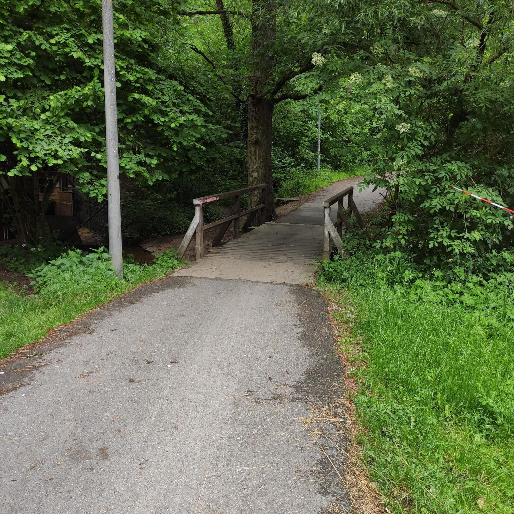
Easy, shaded path, perfect for cooling off in hot weather.
0
0


Chaux-Neuve is a small town in the Doubs region that hosts an international Nordic Combined World Cup event every year. To the south of the town, you can't miss these three large ski jumps, the largest of which rises to 118 meters.
0
0


On most maps it is called "Lac d’Ilay". The other name probably comes from the small island "Île de la Motte" which is located in the lake.
1
0
Frequently Asked Questions
How many touring cycling routes are available around Gillois?
There are nearly 180 touring cycling routes around Gillois, catering to various skill levels. You'll find 10 easy routes, 83 moderate routes, and 86 difficult routes, offering diverse options for every touring cyclist.
What kind of terrain can I expect on touring cycling routes near Gillois?
The terrain around Gillois is characterized by elevated plateaus, river valleys, and extensive forests within the Jura department. You can expect a mix of rolling agricultural land, meadows, and woodlands, with varied elevations ranging from approximately 690 meters to 957 meters. This provides both gradual inclines and more challenging ascents.
Are there any family-friendly touring cycling routes around Gillois?
Yes, there are 10 easy touring cycling routes around Gillois that are suitable for families or those looking for a more relaxed ride. These routes typically feature gentler inclines and traverse scenic rural landscapes, allowing for an enjoyable experience for all ages.
What natural attractions can I see along the touring cycling routes?
Many routes offer stunning natural sights. You can explore the intriguing Langouette Gorges, witness the beautiful Bief de la Ruine Waterfalls, or visit the Ain Spring, where the Ain River originates. The area is rich in river features and geological phenomena.
Are there any circular touring cycling routes in the Gillois area?
Yes, many routes around Gillois are designed as loops, allowing you to start and finish in the same location. For example, the moderate Syam Castle and Ironworks – Pertes de l'Ain loop from Sirod explores river features and rural landscapes, while the difficult Nozeroy – Clock Tower loop from Sirod takes you through agricultural land and small villages.
What do other touring cyclists enjoy most about cycling in Gillois?
The area is highly rated by the komoot community, with an average score of 4.5 stars from over 100 reviews. Touring cyclists often praise the varied terrain, from high plateaus to river valleys, and the opportunity to explore charming villages and natural landmarks like the Source of the Ain River.
Can I find challenging touring cycling routes near Gillois?
Absolutely. Gillois is an excellent base for challenging rides, with 86 difficult routes available. These routes often feature significant elevation gains and longer distances, such as the Mouthe – Chaux-Neuve loop from Conte, a 60 km trail traversing high plateaus and forested sections, or the even longer Chapelle-des-Bois – Bief de la Ruine Tunnel loop from Conte.
What is the best time of year to go touring cycling in Gillois?
The Jura region experiences significant rainfall throughout the year, with harsh winters and moderate sunshine. The most pleasant times for touring cycling are typically from late spring to early autumn (May to October), when temperatures are milder and the landscape is lush. Winters can be challenging due to snow and colder conditions.
Are there any routes that pass by historical sites or points of interest?
Yes, some routes combine natural beauty with cultural exploration. For instance, the Syam Castle and Ironworks – Pertes de l'Ain loop from Sirod allows you to discover historical sites alongside natural wonders. The region also features small villages like Nozeroy, which has a notable clock tower, as seen on the Nozeroy – Clock Tower loop from Sirod.
Are there any moderate touring cycling routes for intermediate riders?
Yes, there are 83 moderate touring cycling routes around Gillois, perfect for intermediate riders looking for a balanced challenge. An example is the Cerniébaud – Nozeroy loop from La Favière, which offers a good mix of distance and elevation without being overly strenuous.
What are the general elevation changes like on touring routes in this area?
The routes around Gillois feature varied elevation changes. While the region is on a high plateau averaging 860 meters, individual routes can have significant ascents and descents. For example, the Mouthe – Chaux-Neuve loop from Conte involves over 860 meters of elevation gain, providing a substantial workout.
Most popular attractions around Gillois

Get inspired with the komoot mobile app


Explore more
Browse the best Cycling routes in other regions.
