The best walks and hikes around Saint-Laurent-Du-Var
4.5
(1812)
14,498
hikers
14
hikes
Hiking around Saint-Laurent-Du-Var offers access to diverse landscapes along the French Riviera. The region features coastal paths, the Var River and its banks, and nearby inland hills of the Alpes-Maritimes department. Trails range from flat seaside promenades to more challenging routes with moderate elevation changes. This variety provides options for different fitness levels and preferences.
Best hiking trails around Saint-Laurent-Du-Var
- The most popular hiking route is Promenade de la plage – Cagnes-sur-Mer Beach loop from Saint-Laurent-du-Var, a 5.2 miles…
Last updated: October 25, 2026
4.7
(9)
297
hikers
Moderate hike. Good fitness required. Easily walkable paths.
5.0
(2)
47
hikers
9.10km
02:18
20m
20m
Moderate hike. Good fitness required. Easily walkable paths.

5.0
(8)
45
hikers
Hard hike. Very good fitness required. Easily walkable paths.
4.3
(3)
22
hikers
Hard hike. Very good fitness required. Easily walkable paths.
14
hikers
Moderate hike. Good fitness required. Easily walkable paths.
Get access to more routes and recommendations from other explorers.
Already have an account?
Our route recommendations are based on thousands of hikes, rides, and runs completed by other people on komoot.
Start today with a free account
Your next adventure awaits.

Tips from the Community


Especially at major intersections, stick to the speed limits for cyclists, as police are often there to check your speed.
1
0

Historically, this port was the largest fishing port in the Alpes-Maritimes in the 1920s and 1930s, and it still maintains a professional fishing industry today. Cros-de-Cagnes is known for its fishing village and maritime traditions. You can even find a Cros de Cagnes Fishermen's Market located on Rue du Capitaine de Frégate Vial, where you can buy fresh fish and seafood directly from local fishermen. This market is generally open from Tuesday to Sunday mornings. There are also initiatives to preserve maritime heritage, such as the restoration of the Sainte-Thérèse lobster boat, a traditional fishing boat. For those interested in learning how to fish or taking a sea trip, there are opportunities for boat trips or fishing trips, particularly from nearby Saint-Laurent-du-Var.
0
0

This path allows you to avoid red lights, but is also popular with rental bikes and golf carts. Beware of children who may mistake the path for a playground.
0
0


Sea view from start to finish, very easy and safe route
0
0

The large statue next to Fort Carré, on the stadium in Antibes, is an impressive sculpture often referred to as **"Le Marin"**. Here are some key aspects of the statue: ### Features of "Le Marin": 1. **Artist**: The statue was created by French artist **Alfredo Garcia**. He is known for his large, expressive sculptures that often explore the relationship between man and nature. 2. **Theme**: "Le Marin" is a tribute to the sailors and maritime tradition of Antibes. The statue symbolizes the city's connection to the sea and the important role the navy has played in the region's history. 3. **Appearance**: The statue shows a large figure standing in a dynamic pose, often with an emphasis on strength and movement. The detailed finish and size make it a striking feature of the area. 4. **Location**: Located near Fort Carré and the stadium, the statue provides a beautiful backdrop for visitors exploring the area. It is a popular spot for photos. 5. **Cultural Significance**: The statue is not only a work of art, but also a cultural symbol that reflects the rich maritime history of Antibes. It strengthens the connection between the city and its naval heroes. This statue is an important part of the cultural landscape of Antibes and contributes to the artistic and historical atmosphere of the city.
3
0
The **Governor's House** in **Fort Carré** in Antibes is a historic building that is part of the fort itself, which dates back to the 17th century. Here are some key aspects of this house and the fort: ### Features of the Governor's House and Fort Carré: 1. **History**: Fort Carré was built between 1698 and 1703 and served as a strategic defense post for the city of Antibes. The fort has served various military functions over the years. 2. **Architecture**: The fort is designed in the shape of a square and has thick walls and bastions, which gives it an imposing appearance. The Governor's House is usually sober and functional, in line with the military architecture of the time. 3. **Strategic Location**: The fort is located on a hill and offers beautiful views over the Bay of Antibes and the city. This made it an excellent place for defense and surveillance. 4. **Current Use**: Today, Fort Carré is open to the public and guided tours are available. The Governor's House can sometimes be part of these tours, and visitors can learn more about the history of the fort and its role in the defense of the region. 5. **Cultural Significance**: Fort Carré and the Governor's House are important cultural and historical monuments in Antibes and attract many visitors each year who are interested in history and architecture. The Governor's House and Fort Carré are therefore not only of historical importance, but also a beautiful place to enjoy the view and the surroundings.
3
0
Frequently Asked Questions
How many hiking trails are available around Saint-Laurent-Du-Var?
There are 16 hiking trails around Saint-Laurent-Du-Var, offering a diverse range of experiences. These include 9 easy routes, 5 moderate, and 2 difficult trails, catering to various fitness levels.
What types of landscapes can I expect to see while hiking in Saint-Laurent-Du-Var?
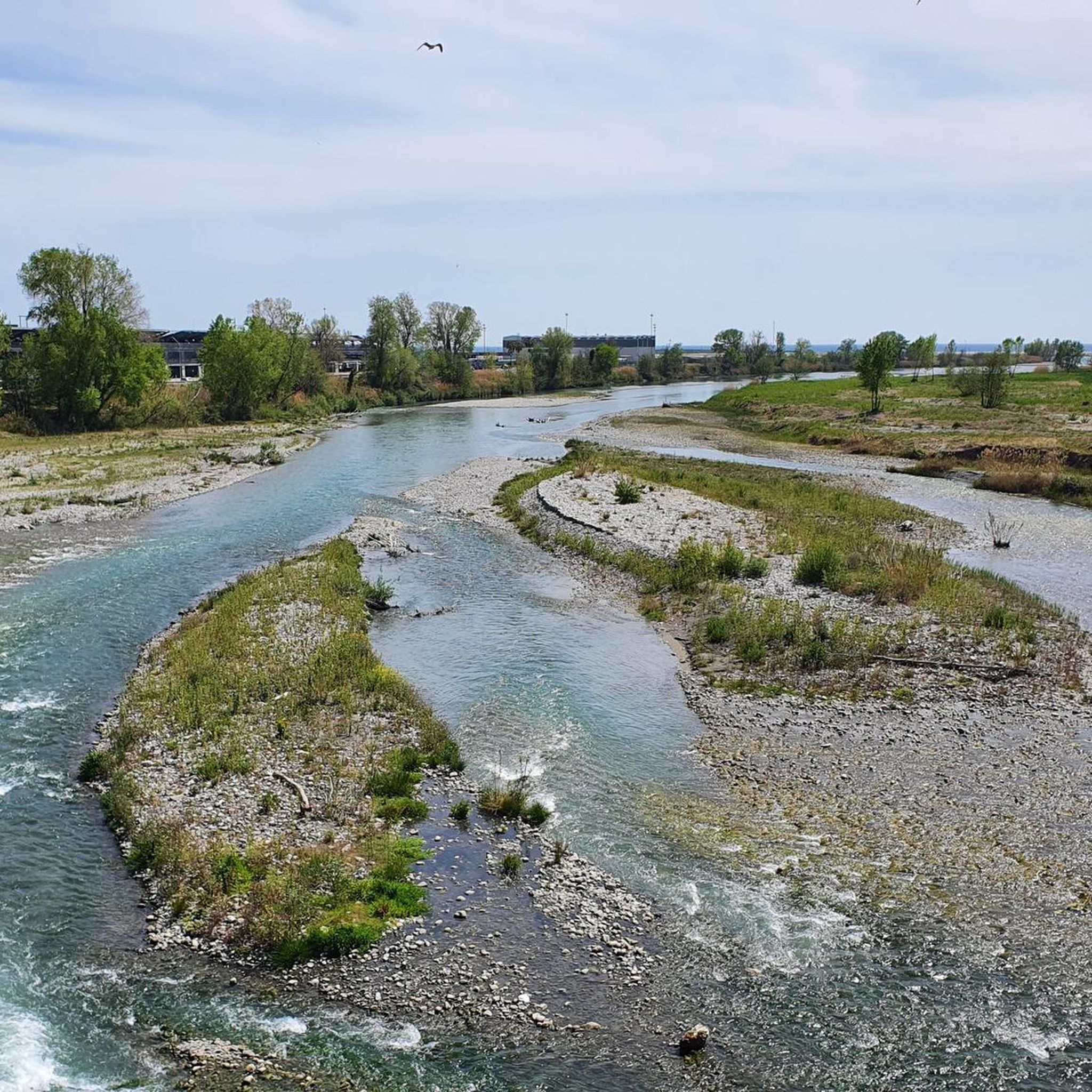
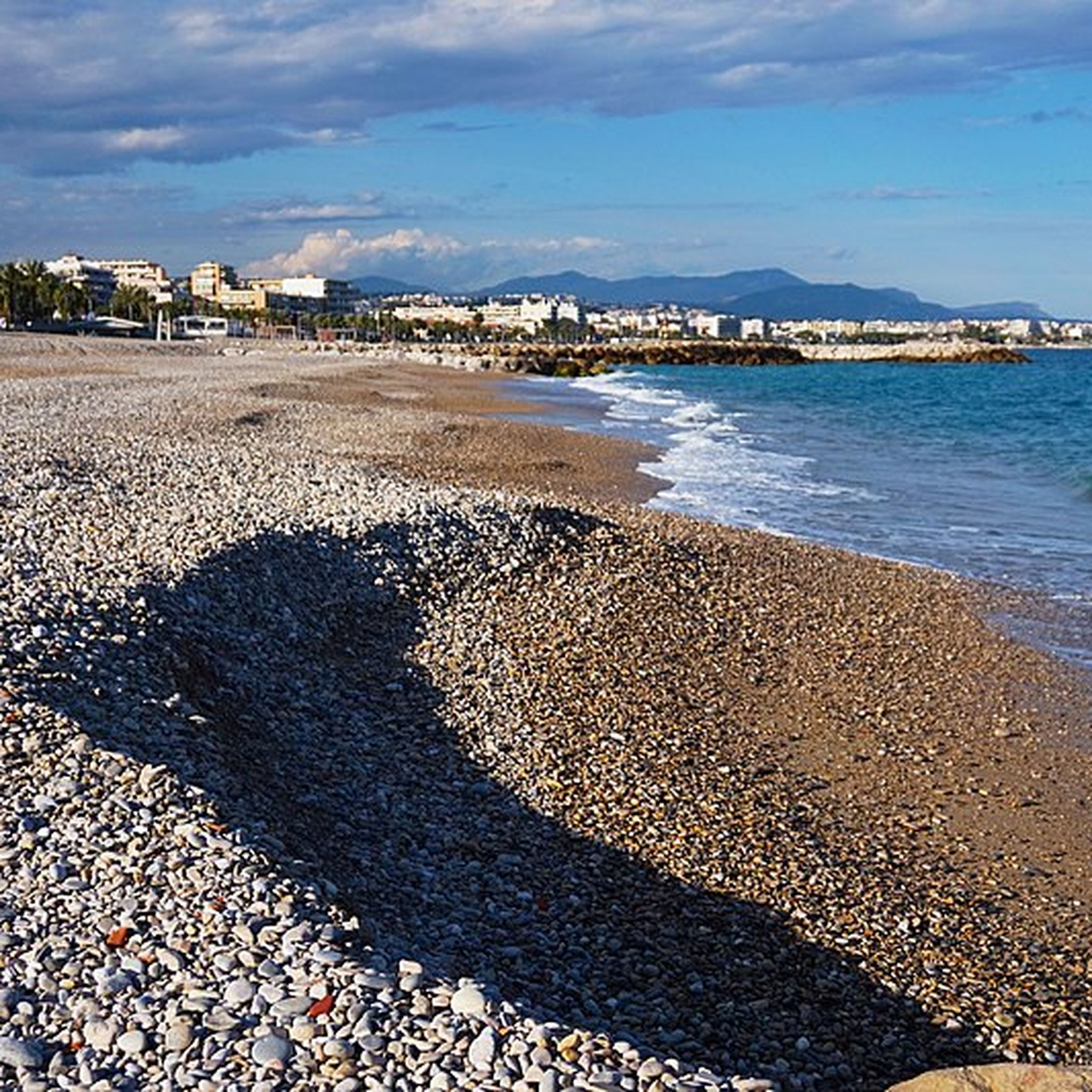
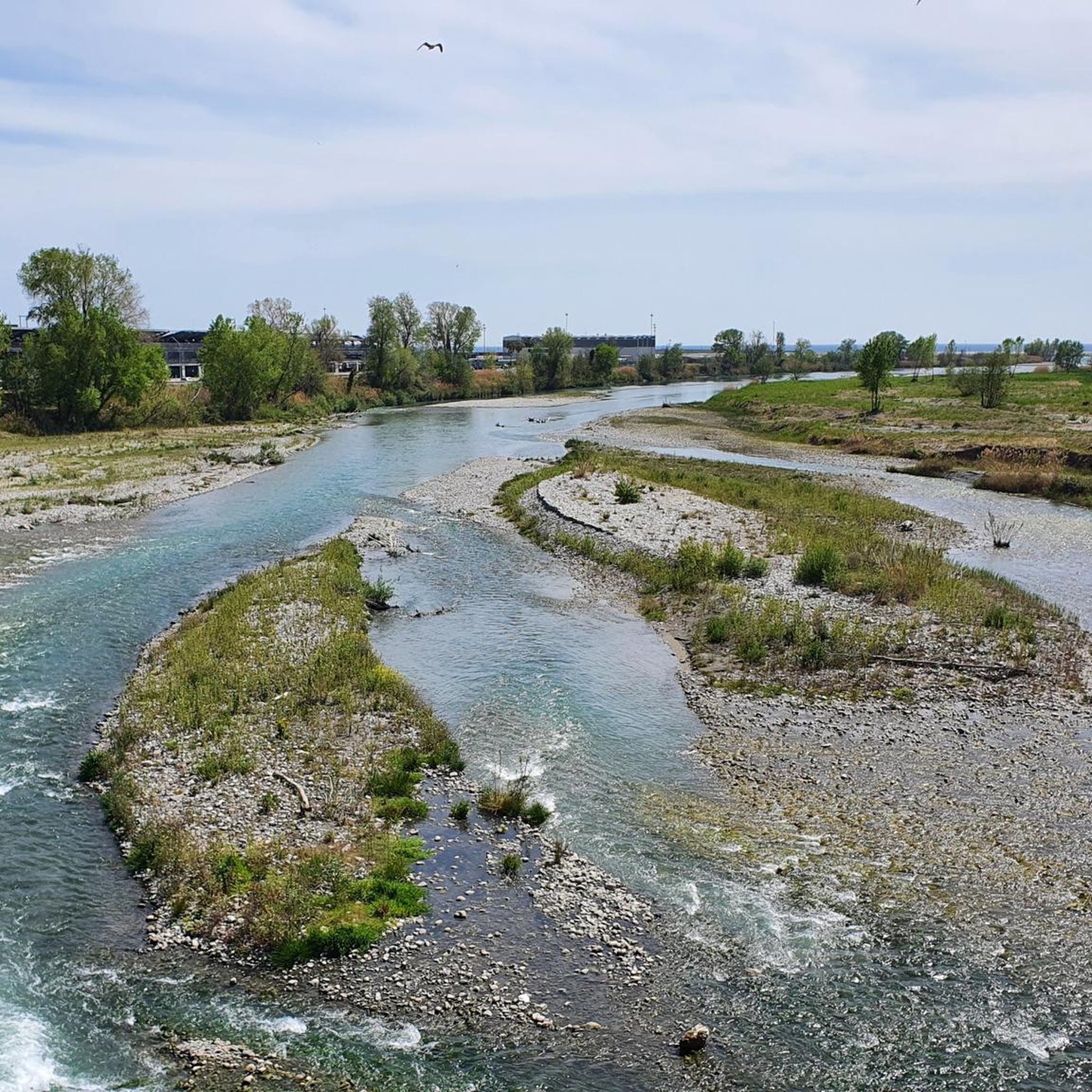
Hiking in Saint-Laurent-Du-Var offers a mix of Mediterranean coastal paths, tranquil walks along the Var River, and access to the foothills of the Alpes-Maritimes. You can enjoy seaside promenades, explore natural sanctuaries rich in flora and fauna, or venture into more rugged terrain with mountain views further inland.
Are there any easy, family-friendly walks in Saint-Laurent-Du-Var?
Yes, Saint-Laurent-Du-Var offers several easy walks suitable for families. For a gentle coastal stroll, consider the Promenade de la plage – Cagnes-sur-Mer Promenade loop, which is 3.6 km long and takes less than an hour. The Parc Départemental des Rives du Var also provides accessible paths for a tranquil experience.
Can I find circular hiking routes in the area?
Yes, many routes around Saint-Laurent-Du-Var are circular. Popular options include the Promenade de la plage – Cagnes-sur-Mer Beach loop (8.3 km, moderate) and the Promenade de la plage – Marina de Villeneuve-Loubet loop (10.0 km, moderate), both offering coastal scenery.
What are the best seasons for hiking in Saint-Laurent-Du-Var?
The French Riviera generally offers pleasant hiking conditions for much of the year. Spring and autumn are ideal, with mild temperatures and less crowded trails. Summer can be warm, especially on coastal paths, so early morning or late afternoon hikes are recommended. Winter offers cooler, crisp air, perfect for longer walks, particularly inland.
Are there any notable viewpoints or natural features to discover on the trails?
Absolutely. The region provides diverse natural features. Coastal paths offer expansive views of the Mediterranean Sea. The Var River banks are home to an ornithological area with over 260 bird species. For panoramic vistas, consider trails leading to peaks like Pic de la Colle, which offers 360-degree views. You might also encounter the Castle Waterfall near some routes.
What do other hikers say about the trails in Saint-Laurent-Du-Var?
The hiking routes in Saint-Laurent-Du-Var are highly rated by the komoot community, with an average score of 4.6 stars from nearly 1,600 reviews. Over 14,000 hikers have used komoot to explore the varied terrain, often praising the accessible coastal walks and the diverse natural beauty.
Are there any historical sites or attractions near the hiking trails?
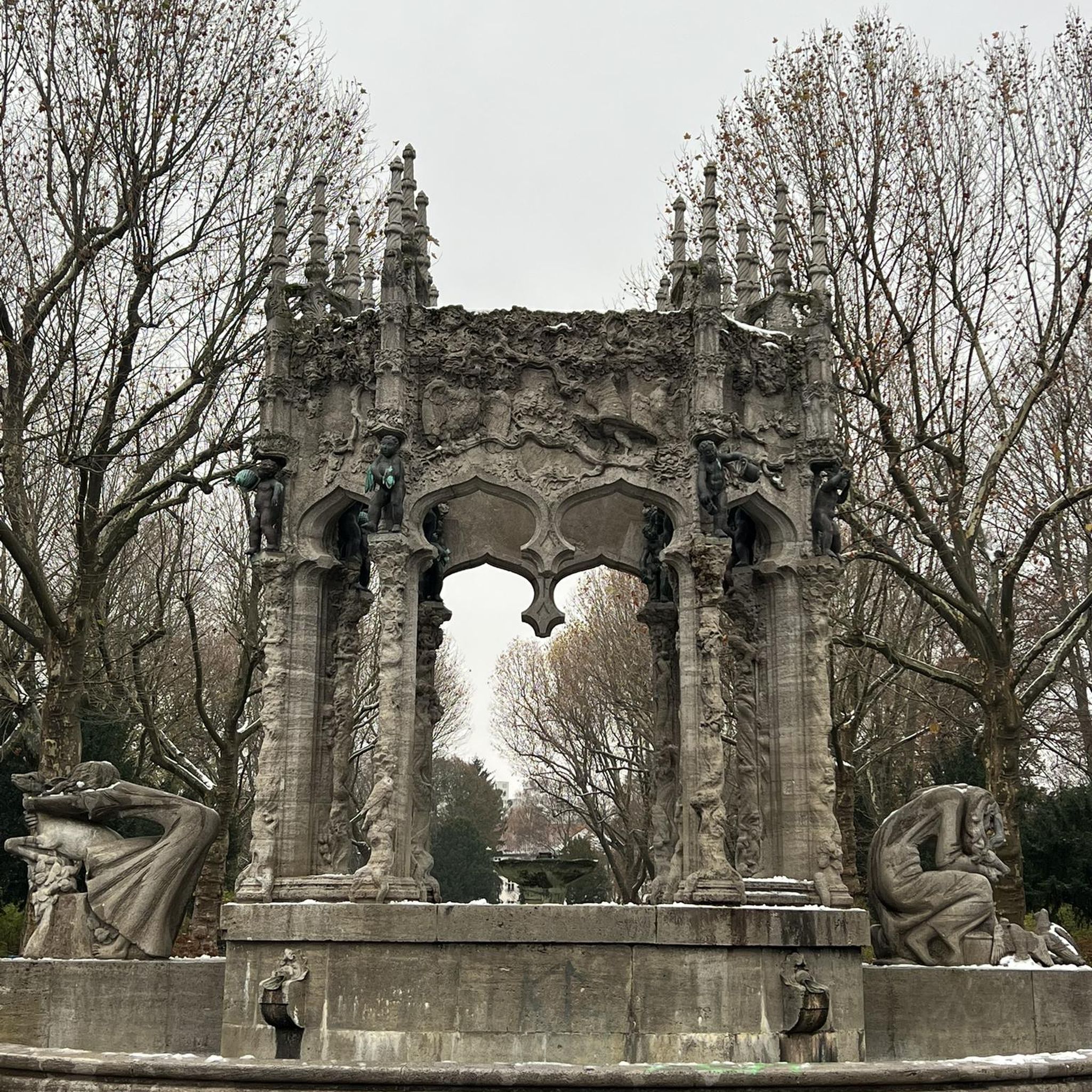
Yes, you can combine your hike with cultural exploration. The historic Old Village of Saint-Laurent-Du-Var is worth a visit. Further afield, you can find historical sites like Fort du Mont Alban or Fort du Mont Chauve d'Aspremont. The Promenade des Anglais, while a popular walking path itself, is also a landmark.
Are there any longer, more challenging hikes available?
For those seeking a more demanding experience, the Promenade des Anglais – Port of Nice loop is a difficult 27.3 km path. This route extends along the coastline towards Nice, offering a significant distance with minimal elevation gain, making it a good option for endurance.
Are there opportunities for other outdoor activities alongside hiking?
Beyond hiking, Saint-Laurent-Du-Var's coastal location allows for various water activities such as sea excursions, stand-up paddleboarding, and swimming at beaches like Cousteau Beach. The Parc Départemental des Rives du Var also features cycling paths, and the wider region offers opportunities for climbing and horse riding.
What is the typical terrain like on the trails around Saint-Laurent-Du-Var?
The terrain varies significantly. Coastal paths are generally flat and paved or well-maintained, suitable for easy walks. Trails along the Var River are often natural paths through parkland. Inland routes, particularly those heading towards the Alpes-Maritimes foothills, can involve more rugged terrain, moderate elevation changes, and rocky sections.
Can I find trails that pass by shopping areas or amenities?
Yes, some routes are conveniently located near amenities. For instance, the Cap3000 loop takes you near the Cap 3000 shopping center, which is also close to an ornithological area at the mouth of the Var River, offering a blend of nature and convenience.
Most popular routes around Saint-Laurent-Du-Var
Most popular attractions around Saint-Laurent-Du-Var

Get inspired with the komoot mobile app


Explore more
Browse the best Hikes in other regions.
