The best road cycling routes around Arandas
4.5
(108)
2,342
riders
79
rides
Road cycling routes around Arandas, Jalisco, are situated on the Mesa Central at an elevation of approximately 6,762 feet (2,061 meters), presenting a hilly environment with varied topography. The region is characterized by extensive blue agave fields that stretch across rolling red-clay hills, creating a unique visual landscape. This elevated position provides opportunities for both climbs and descents, with soil in some areas displaying distinctive red and orange adobe-like colors. The pastoral environment offers a tranquil setting for road cyclists.
…Last updated: October 7, 2026
4.6
(14)
56
riders
35.6km
02:02
830m
830m
Moderate road ride. Good fitness required. Mostly well-paved surfaces and easy to ride.
5.0
(1)
37
riders
31.0km
01:32
440m
440m
Moderate road ride. Good fitness required. Mostly well-paved surfaces and easy to ride.

17
riders
Moderate road ride. Good fitness required. Mostly well-paved surfaces and easy to ride.
18
riders
50.7km
02:21
590m
590m
Moderate road ride. Good fitness required. Mostly well-paved surfaces and easy to ride.
7
riders
96.7km
05:42
2,400m
2,400m
Hard road ride. Very good fitness required. Mostly well-paved surfaces and easy to ride.
Get access to more routes and recommendations from other explorers.
Already have an account?
Our route recommendations are based on thousands of hikes, rides, and runs completed by other people on komoot.
Start today with a free account
Your next adventure awaits.
Tips from the Community

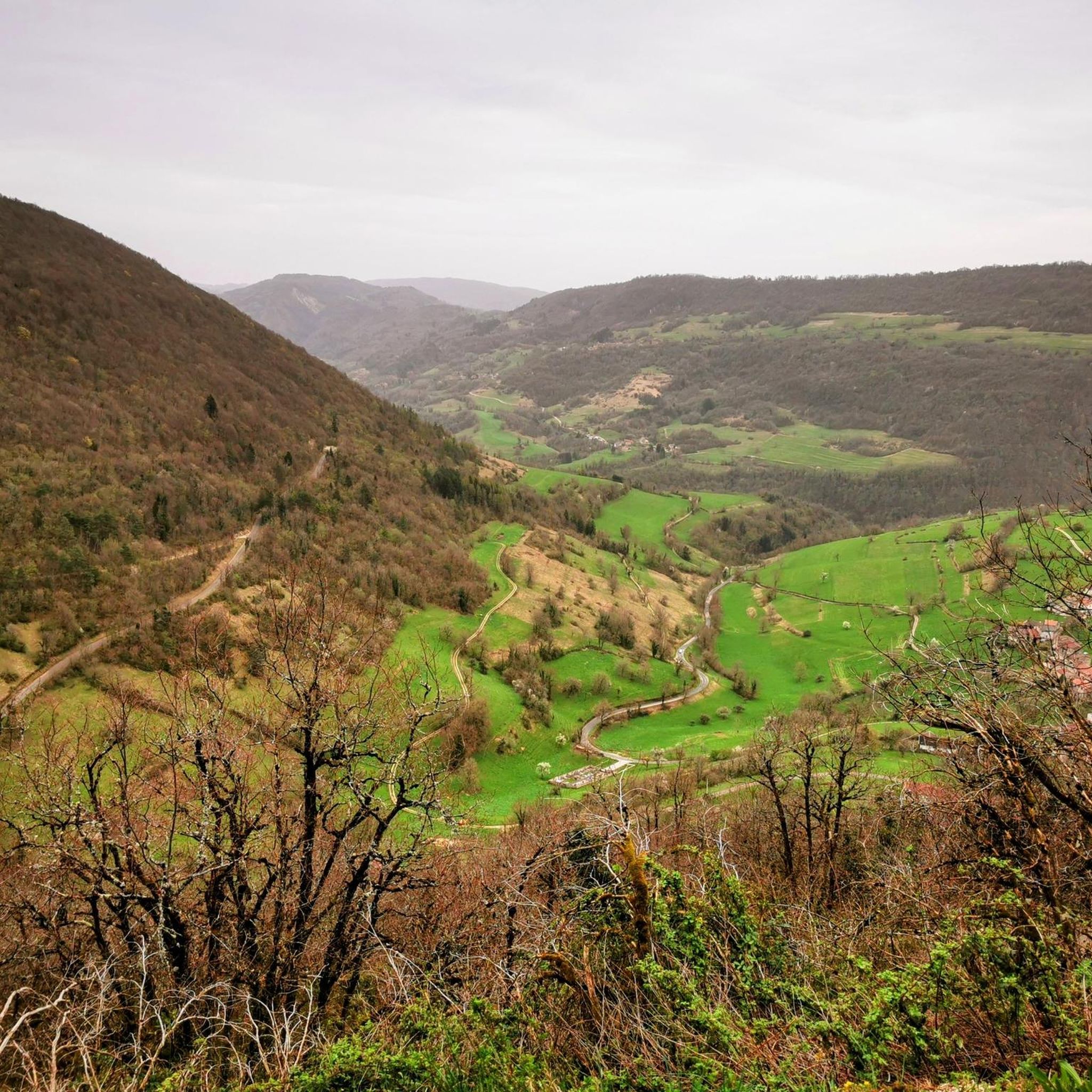
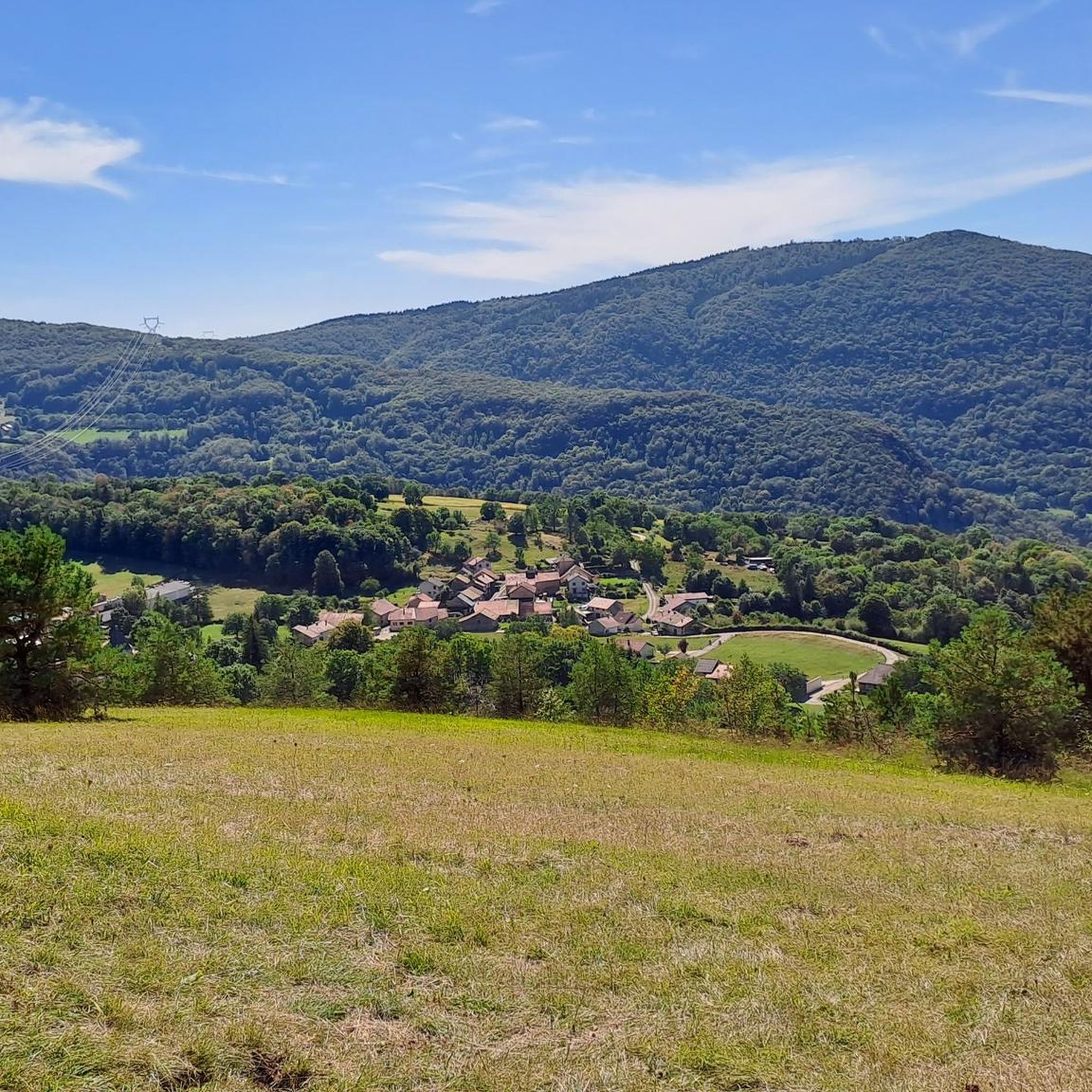
The commune of Vertrieu, located in the department of Isère within the Balcons du Dauphiné, has the unique particularity of housing two major historical buildings: the Château Vieux (or Maison-Forte) and the Château Neuf (or Château Moderne).
0
0
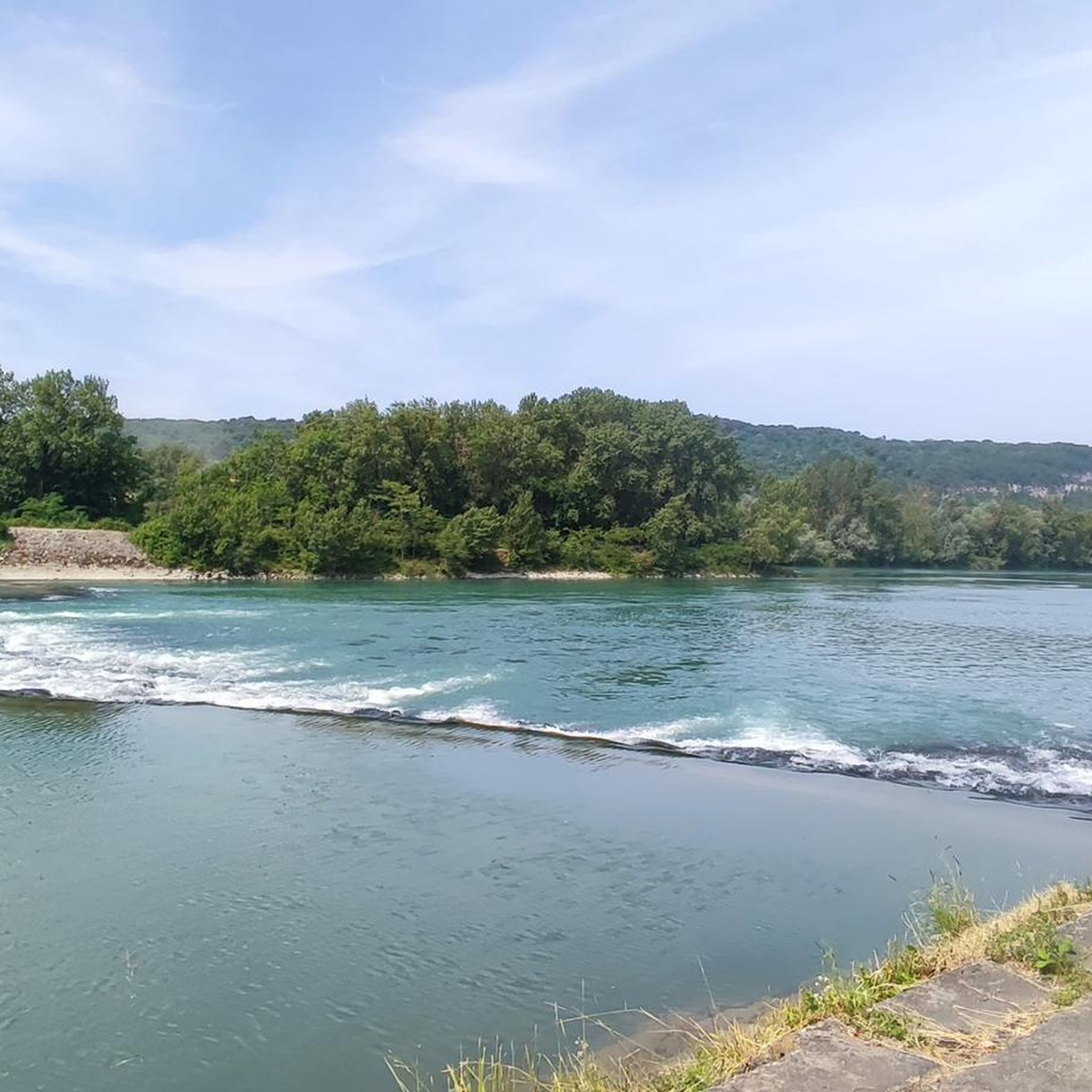
The Sault-Brénaz dam (also called Villebois dam or Sault-Brénaz facility) is an important hydroelectric infrastructure located on the Rhône River. It is situated on the border between the departments of Ain and Isère, mainly near the communes of Sault-Brénaz and Villebois. Commissioned in 1986, this structure was the last major facility built by the Compagnie Nationale du Rhône (CNR) on the upper Rhône.
0
0

cycle path very busy in good weather
1
0

Here is the route for the ascent of the Col du Cruchon starting from Corcelles
1
0
A short climb that allows you to switch between the two villages, on one side the Albarine Green Way, on the other the start of the climb towards the Col de Porte!
1
0

Very cozy, quiet and romantic lodge, on the water and under the stars...
0
0
Superb road which opens onto an open plateau at an altitude of 800 m, an extremely peaceful passage!
0
0

Spectacular! One of the most beautiful views in the region. Incredible sunset.
0
0
Frequently Asked Questions
How many road cycling routes are available around Arandas?
There are over 80 road cycling routes around Arandas, offering a wide range of options for different skill levels. The komoot community has explored more than 1,500 of these routes.
What kind of terrain can I expect when road cycling in Arandas?
Arandas is situated on the Mesa Central at an elevation of approximately 2,061 meters (6,762 feet), so you can expect varied topography with both challenging climbs and rewarding descents. The routes often wind through extensive blue agave fields and a pastoral environment, providing scenic views and quieter roads.
Are there road cycling routes suitable for beginners in Arandas?
Yes, Arandas offers 5 easy road cycling routes, perfect for beginners or those looking for a more relaxed ride. These routes allow you to enjoy the unique landscapes without excessive challenge.
Where can I find challenging road cycling routes in Arandas?
For experienced riders seeking a challenge, Arandas features 14 difficult road cycling routes. These routes often include significant elevation gains, such as the demanding Portes Pass – Col de Fay loop from Saint-Rambert-en-Bugey, which covers over 97 km with substantial climbing.
What makes road cycling in Arandas unique?
The region's unique blend of cultural richness and natural beauty sets it apart. Cyclists can ride through vast blue agave fields, which are central to tequila production, offering a picturesque backdrop. The area's pastoral environment and varied elevation also contribute to a distinctive cycling experience.
What do other road cyclists enjoy most about road cycling in Arandas?
The area is highly rated by the komoot community, with an average score of 4.6 stars from over 77 reviews. Cyclists often praise the scenic routes through the agave fields, the varied elevation that offers both climbs and descents, and the overall pastoral environment that provides a peaceful riding experience.
Are there any loop road cycling routes in Arandas?
Yes, many of the road cycling routes in Arandas are loops, allowing you to start and finish at the same point. An example is the Plateau de Thézillieu – Delicious stage loop from Belley, which offers a moderate ride through varied terrain.
What natural features can I see along the road cycling routes?
Beyond the iconic agave fields, you can explore several natural attractions. The region features various mountain passes like Petit Pertuis Pass and Col de Ballon (929 m), offering stunning views. There are also several lakes, such as Lac Bleu on the Gardon, which can be incorporated into your ride.
Are there any cultural landmarks or points of interest to explore while cycling in Arandas?
Absolutely. Arandas is rich in culture. You can cycle past numerous tequila distilleries nestled within the agave fields, offering a glimpse into the region's famous industry. The town itself boasts architectural sites like the Parroquia de San José Obrero and the Church of Sta. Maria De Guadalupe, providing opportunities for cultural immersion during your ride.
What is the best time of year for road cycling in Arandas?
While specific seasonal details for cycling are not extensively documented, the pastoral environment and varied elevation suggest that spring and autumn might offer the most comfortable temperatures for cycling. It's always advisable to check local weather forecasts closer to your visit.
Are there any routes that feature significant climbs?
Yes, given Arandas's location on the Mesa Central at over 2,000 meters elevation, many routes include significant climbs. For example, the Col de Portes (1010 m) – Portes Pass loop from Bénonces involves over 800 meters of elevation gain, providing a substantial climbing experience.
Can I find routes that are a moderate challenge?
Yes, the majority of road cycling routes in Arandas are classified as moderate, with 64 such options available. These routes offer a good balance of distance and elevation, like the Col de Ballon (929 m) – Col du Ballon loop from Belley, which is a popular choice for a balanced ride.
Most popular attractions around Arandas

Get inspired with the komoot mobile app


Explore more
Browse the best Road cycling routes in other regions.
