The best walks and hikes around Contrevoz
4.5
(675)
3,970
hikers
152
hikes
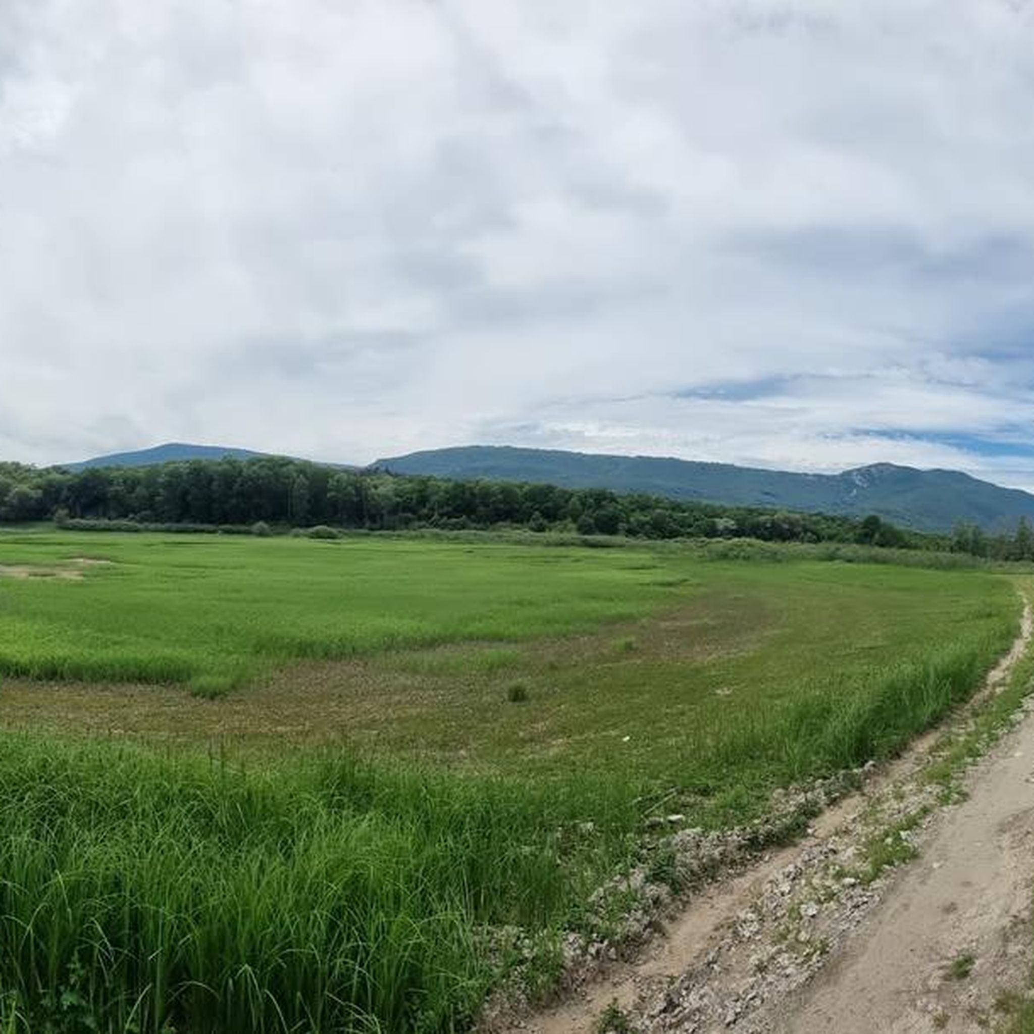
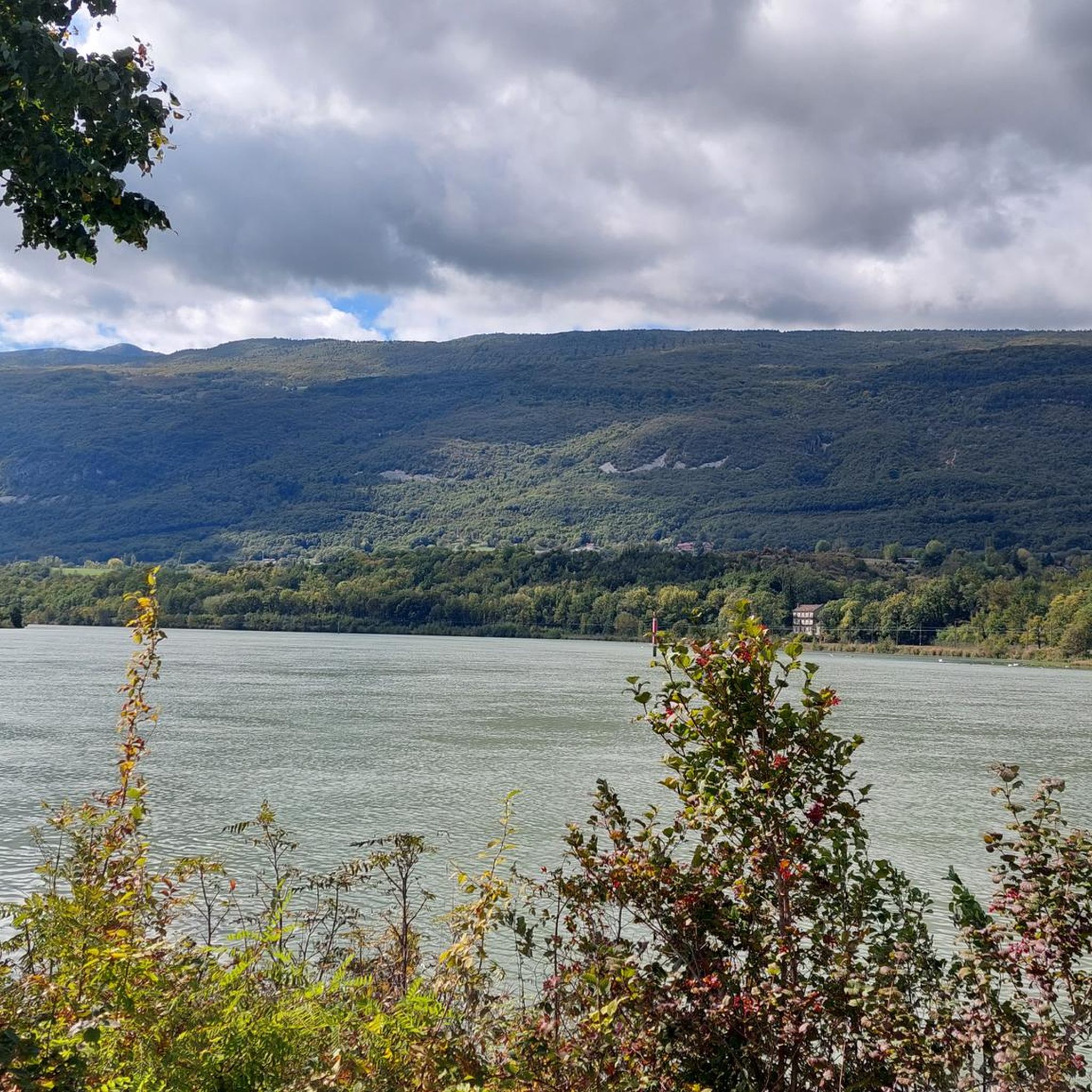
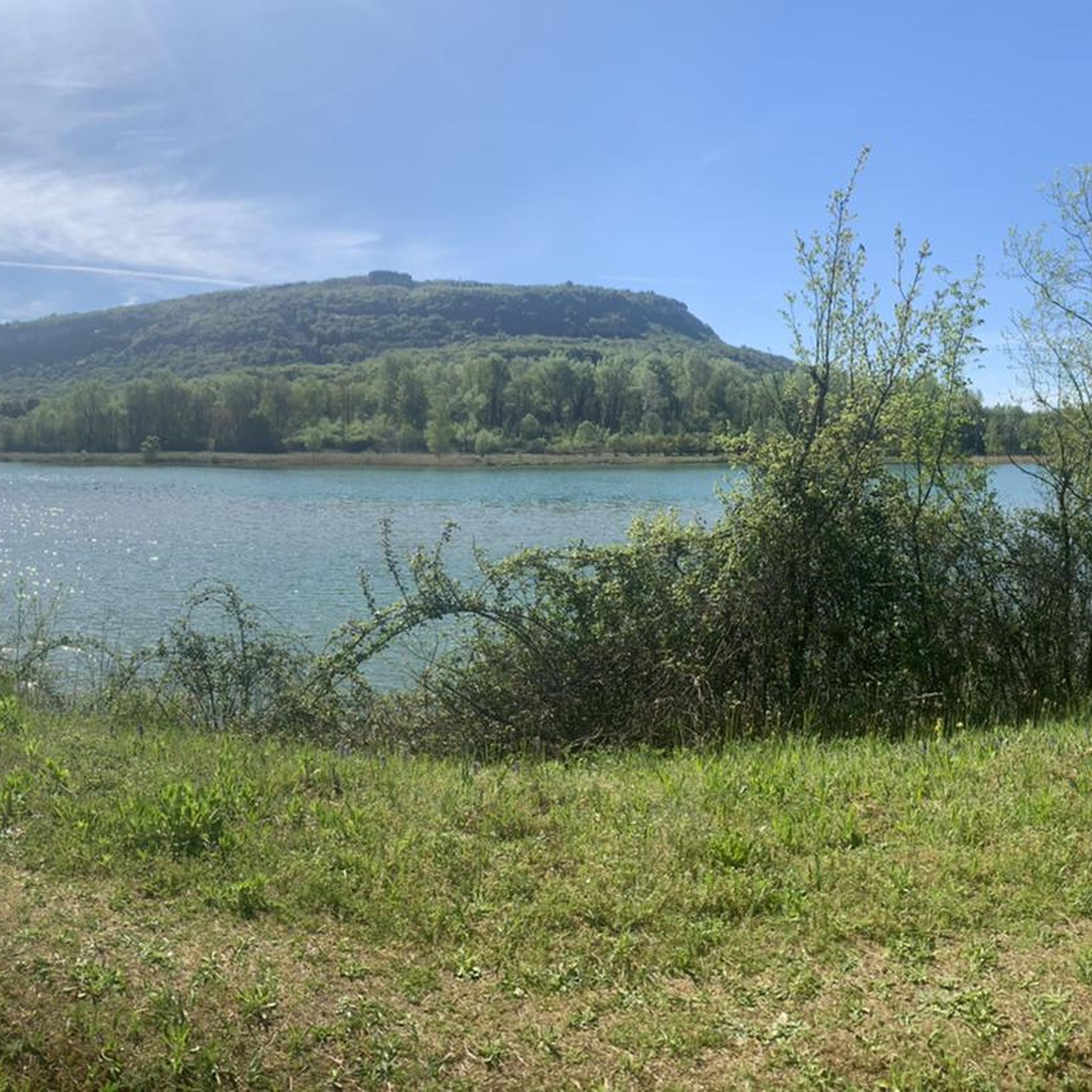
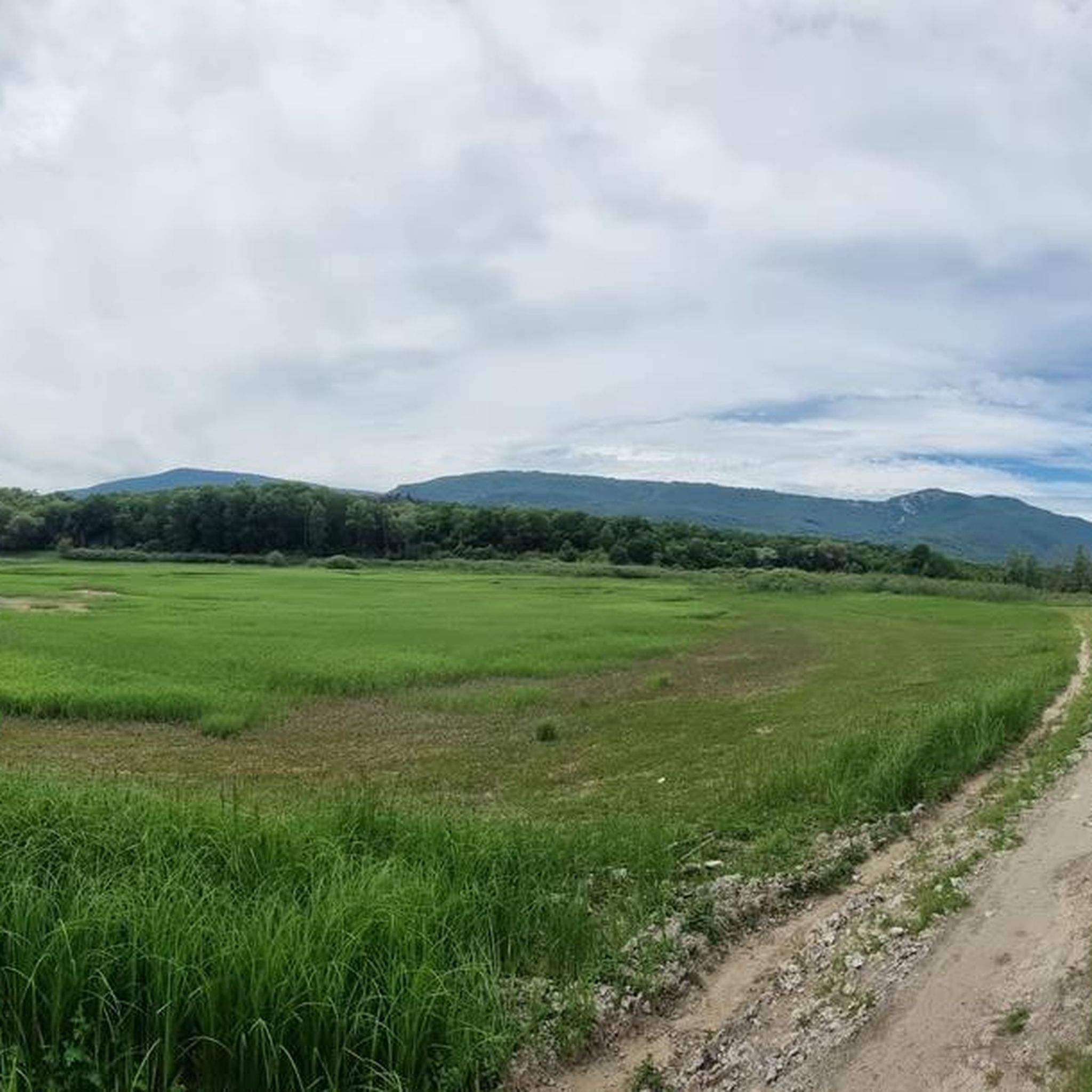
Hiking around Contrevoz offers access to the preserved natural environment of the Bugey region, characterized by a balance of plains and mountains. The area features diverse landscapes including forests, panoramic viewpoints, and areas of significant biological richness. The highest point, Mollard de Don, provides expansive views of the surrounding Rhône plains and the Bugey. Geological points of interest are present along many of the routes.
Best hiking trails around Contrevoz
- The most popular hiking route is Le col du Petit…
Last updated: June 27, 2026
3.4
(9)
51
hikers
8.71km
02:28
150m
150m
Hard hike. Good fitness required. Sure-footedness, sturdy shoes and alpine experience required.
5.0
(3)
24
hikers
6.78km
02:04
230m
230m
Moderate hike. Good fitness required. Easily-accessible paths. Suitable for all skill levels.

Sign up for free
4.0
(2)
15
hikers
4.39km
01:20
150m
150m
Easy hike. Great for any fitness level. Easily-accessible paths. Suitable for all skill levels.
4.0
(8)
12
hikers
5.26km
01:25
70m
70m
Easy hike. Great for any fitness level. Easily-accessible paths. Suitable for all skill levels.
4.3
(3)
5
hikers
10.2km
02:50
190m
180m
Moderate hike. Good fitness required. Easily-accessible paths. Suitable for all skill levels.
Get access to more routes and recommendations from other explorers.
Sign up for free
Already have an account?
Our route recommendations are based on thousands of hikes, rides, and runs completed by other people on komoot.
Start today with a free account
Your next adventure awaits.
Login or Signup

Tips from the Community

Officially referenced pass and completely passable by road bike!
1
0

The site includes several waterfalls, the main one being 32 meters high. Simply magnificent. https://cascadesdefrance.fr/listing/cascade-des-dards-cheignieu-la-balme-ain/
0
0

Great hike with magical landscapes, however, there is a big downside on the last 3 kilometers on the departmental road with heavy rolling. Avoid with children who are too small and not used to hiking. Some passages are not easy, do not leave without suitable equipment (especially shoes)
0
0

Nice lake with a small beach. Don't forget your bathing suit. There is also a nice playground for the children.
0
0

The pass, located at an altitude of 1,050 meters, offers you a magnificent view of the Alps and the Rhône valley. Like most of the peaks in this region, it sometimes allows you to see Mont Blanc.
2
0
The pass is located at 1050 m and offers you a magnificent view of the Alps and the Rhone Valley. As with most peaks in this region, Mont-Blanc is sometimes visible from here.
2
0

Very nice view of Mont blanc + a 20 minute walk in the Sportif trail
1
0

The cross is close to a magnificent view of the large dovecote and around
1
0
Frequently Asked Questions
How many hiking trails are available around Contrevoz?
There are over 140 hiking trails around Contrevoz, offering a wide range of options for different skill levels and preferences. The komoot community has explored these routes over 3600 times.
What types of landscapes can I expect to see while hiking in Contrevoz?
Contrevoz is nestled in the Bugey region, offering a diverse mix of plains and mountains. You'll encounter preserved natural environments, including extensive forests, panoramic viewpoints, and areas of significant biological richness. The highest point, Mollard de Don, provides expansive views of the Rhône plains and the Bugey.
Are there any easy hiking trails suitable for beginners in Contrevoz?
Yes, Contrevoz offers a good selection of trails suitable for beginners. There are 44 easy routes available, allowing you to enjoy the natural beauty without strenuous effort. These trails often explore the local heritage and natural features at a gentle pace.
Are there any circular hiking routes around Contrevoz?
Many of the trails around Contrevoz are designed as loops, allowing you to start and end at the same point. For example, the Le col du Petit Perthuis – loop is a popular moderate circular route that explores the area around the Petit Perthuis pass.
What are the best times of year to go hiking in Contrevoz?
The best times to visit Contrevoz for hiking are spring (March to June) for its flowering landscapes and mild climate, and summer (July and August) for enjoying outdoor activities in warmer temperatures. These seasons offer ideal conditions to explore the region's diverse flora and fauna.
Are there any waterfalls or significant natural features to discover on the trails?
Yes, the area around Contrevoz is rich in natural features. You can find several waterfalls, such as the Brive Waterfall, Cerveyrieu Waterfall, and Claire Fontaine Waterfall. The Cascade des Dards – Lake Virieu loop from Pugieu specifically features a waterfall and a lake, offering varied scenery. The region also boasts areas like Creux de Vau, Lac de Chailloux, and Bois de Beauretour, known for their biological richness.
What historical or cultural landmarks can be found along the hiking trails?
Along the hiking routes, you can discover several points of interest that highlight the local heritage. These include the old Carrière de Charmieu quarry, the historic Chapelle Sainte-Anne, and the communal Four banal de Meyrieu. The Mairie de Contrevoz (town hall) is also a notable architectural landmark in the village.
What do other hikers enjoy most about the trails in Contrevoz?
The trails in Contrevoz are highly rated by the komoot community, with an average score of 4.5 stars from over 600 reviews. Hikers often praise the diverse terrain of the Bugey region, the quiet forests, and the stunning mountain views. The well-marked paths and variety of difficulty levels also contribute to a positive hiking experience.
Are there any challenging hikes for experienced hikers in Contrevoz?
Yes, for experienced hikers seeking a challenge, there are 15 difficult routes available. An example is the La Croix de la Roche – Petit Pertuis Pass loop from Innimond, which covers over 20 km and involves significant elevation changes, offering a rewarding experience for those looking for a longer, more demanding trek.
Can I find trails that offer panoramic views of the region?
Absolutely. The Mollard de Don, the highest point in the commune, offers majestic landscapes and panoramic views of the surrounding area, including the Rhône plains and the Bugey region. Many trails, such as the Panorama of the Bugey – Petit Pertuis Pass loop from Innimond, are specifically designed to showcase these breathtaking vistas.
Are there opportunities to see wildlife or unique flora while hiking?
Yes, the preserved natural environment of Contrevoz is home to diverse flora and fauna. Along the hiking trails, you might discover wild orchids and observe local forest animals, adding to the area's rich biological appeal. The Creux de Vau, Lac de Chailloux, and Bois de Beauretour areas are particularly noted for their significant biological richness.
Most popular routes around Contrevoz
Most popular attractions around Contrevoz

Get inspired with the komoot mobile app


Explore more
Browse the best Hikes in other regions.
