The best running trails around Conand
4.1
(53)
3,388
runners
234
runs
Jogging routes around Conand offer a diverse range of terrain for runners. The region features a mix of river valleys, greenways, and more challenging hilly sections. Elevations vary, providing options from relatively flat paths to routes with significant climbs. This varied landscape ensures a range of running experiences for different fitness levels.
Best jogging routes around Conand
- The most popular jogging route is Ferme Le Bessey loop from Villebois, a 12.0 miles (19.3 km) trail that takes 2 hours…
Last updated: July 1, 2026
5.0
(1)
101
runners
19.3km
02:38
630m
630m
Hard run. Very good fitness required. Sure-footedness, sturdy shoes and alpine experience required.
3.5
(2)
72
runners
13.6km
01:30
90m
90m
Moderate run. Good fitness required. Mostly paved surfaces. Suitable for all skill levels.

Sign up for free
17
runners
17.7km
02:43
970m
970m
Hard run. Very good fitness required. Mostly paved surfaces. Suitable for all skill levels.
19
runners
10.5km
01:06
70m
70m
Moderate run. Good fitness required. Mostly paved surfaces. Suitable for all skill levels.
5.0
(1)
14
runners
20.7km
02:30
520m
520m
Hard run. Very good fitness required. Mostly paved surfaces. Suitable for all skill levels.
Get access to more routes and recommendations from other explorers.
Sign up for free
Already have an account?
Our route recommendations are based on thousands of hikes, rides, and runs completed by other people on komoot.
Start today with a free account
Your next adventure awaits.
Login or Signup
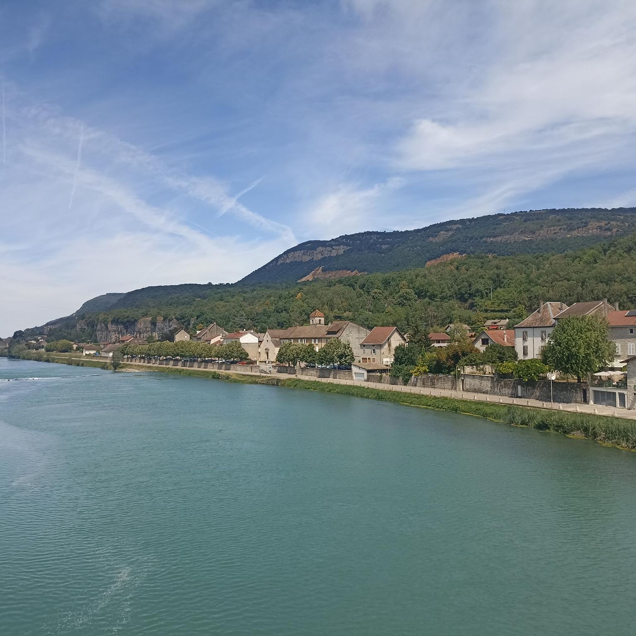
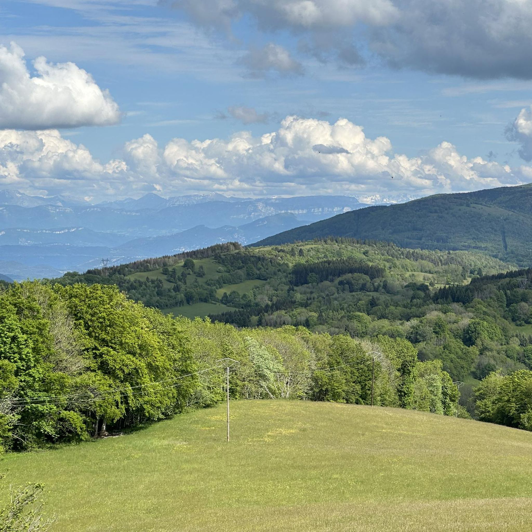
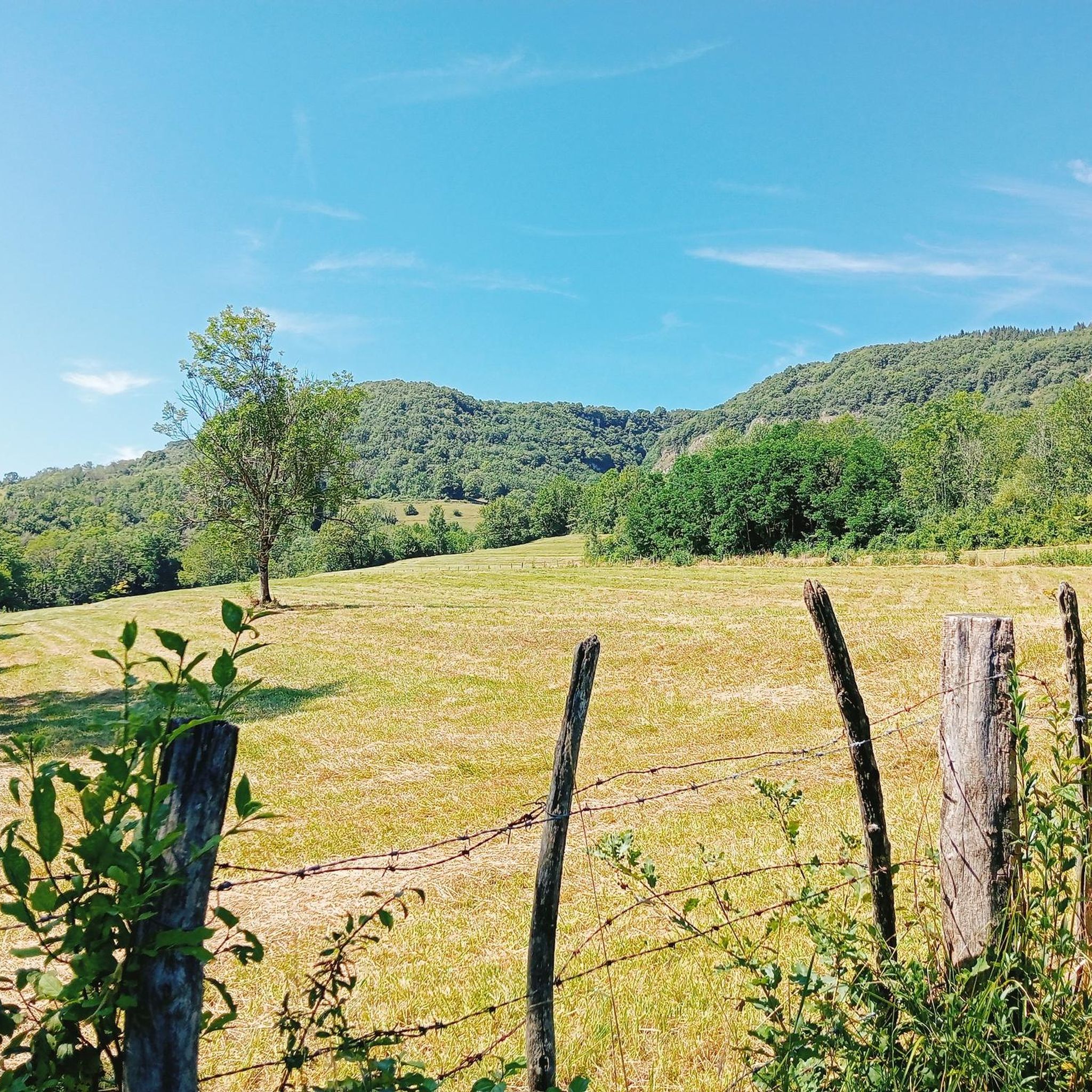
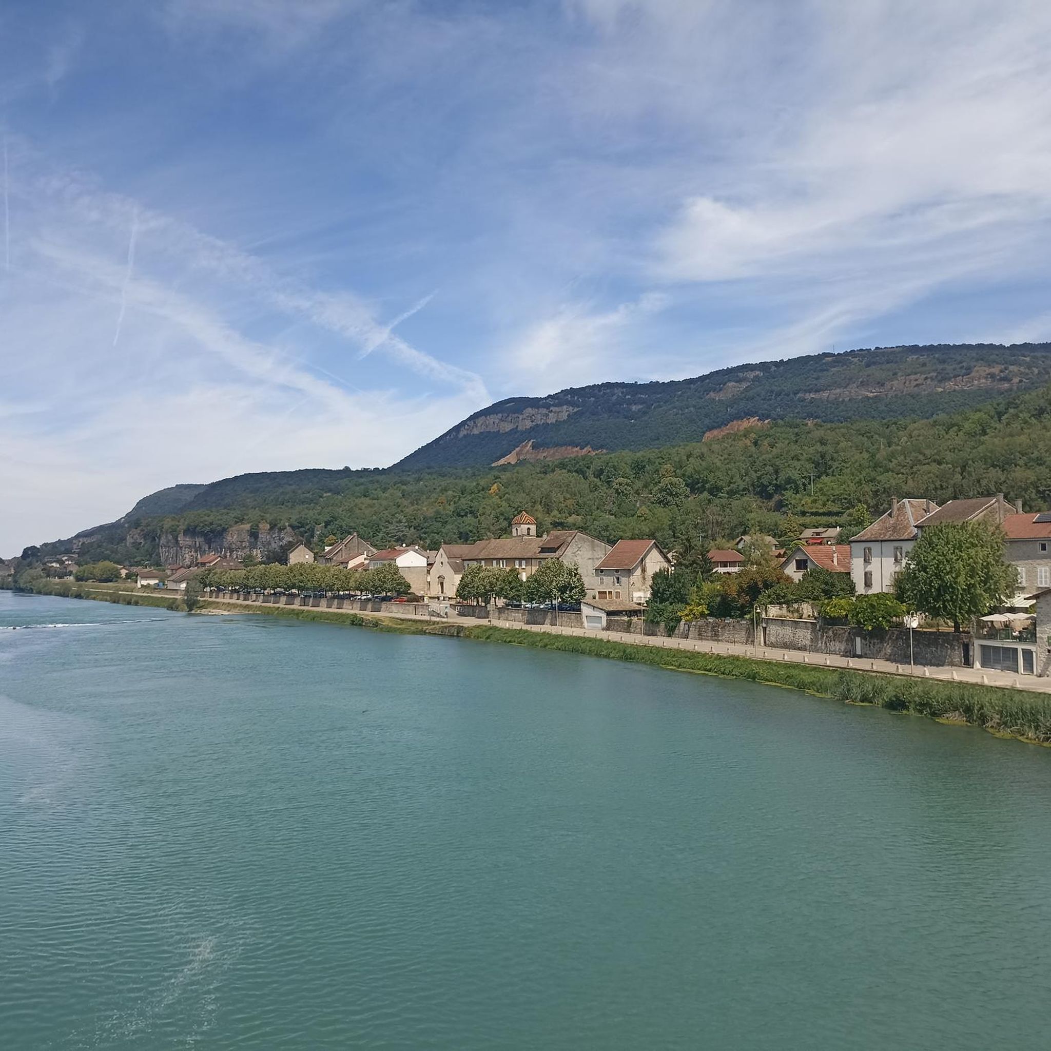
Tips from the Community

Great road in a beautiful area. Lots of hikers and joggers.
0
0

Officially referenced pass and completely passable by road bike!
1
0
A very pleasant greenway along the Albarine River and the railway line! Ideal for connecting two different starting points for the ascent of the famous Col de Portes.
1
0

The pass, located at an altitude of 1,050 meters, offers you a magnificent view of the Alps and the Rhône valley. Like most of the peaks in this region, it sometimes allows you to see Mont Blanc.
2
0
The pass is located at 1050 m and offers you a magnificent view of the Alps and the Rhone Valley. As with most peaks in this region, Mont-Blanc is sometimes visible from here.
2
0

short break, pause to start the long climb.
0
0

Very nice view of Mont blanc + a 20 minute walk in the Sportif trail
1
0

The cross is close to a magnificent view of the large dovecote and around
1
0
Frequently Asked Questions
How many running routes are available in the Conand region?
The Conand region offers a wide selection of running routes, with over 200 trails documented on komoot. This includes a mix of easy, moderate, and difficult options to suit various fitness levels.
What kind of terrain can I expect on jogging trails around Conand?
Jogging routes in Conand feature diverse terrain, ranging from relatively flat paths along river valleys and greenways to more challenging hilly sections with significant elevation gains. You'll find a mix of landscapes, ensuring varied running experiences.
Are there any easy or beginner-friendly running routes in Conand?
Yes, for those looking for an easier run, Conand has 15 routes classified as easy. These typically follow gentler gradients, often along greenways or river paths, providing a pleasant experience for beginners or those seeking a relaxed jog.
What do other runners enjoy most about the trails in Conand?
The running trails in Conand are highly regarded by the komoot community, holding an average rating of 4.2 stars from over 40 reviews. Runners frequently praise the varied terrain, scenic beauty, and the options available for different ability levels, from gentle greenways to challenging ascents.
Are there any circular running routes in the Conand area?
Yes, many of the running routes in Conand are designed as circular loops, allowing you to start and finish at the same point. For example, the difficult 17.7 km route, Via ferrata - Guinguette loop from Tenay/Hauteville, offers a challenging circular experience.
What are some scenic points of interest or landmarks I might see while running in Conand?
While jogging in Conand, you can encounter various natural features and landmarks. The region is home to several beautiful lakes, such as Lac Bleu on the Gardon and Vallée Bleue Lake. You might also cross mountain passes like Petit Pertuis Pass or Evosges Pass, offering elevated views.
Are there any longer, more challenging running routes for experienced runners?
Absolutely. Conand offers 95 difficult running routes, many of which feature substantial elevation gain and longer distances. An example is the 20.7 km Petit Pertuis Pass – La Croix de la Roche loop from Ordonnaz, which provides a demanding and rewarding run.
Can I find running routes that are suitable for families or those with children?
While specific 'family-friendly' designations aren't always available, routes classified as 'easy' or 'moderate' with less elevation gain are generally more suitable for families. Look for greenway sections or river valley paths, which tend to be flatter and safer for younger runners.
Are there any running routes in Conand that are particularly good for dog owners?
Many trails in the Conand region are suitable for running with dogs, especially those that traverse natural landscapes away from busy roads. It's always advisable to keep your dog on a leash and check local regulations for specific areas, particularly around nature reserves or agricultural land.
What is the typical length of running trails in Conand?
The running trails in Conand vary significantly in length. You'll find shorter routes perfect for a quick jog, as well as longer, more challenging trails extending over 20 kilometers. For instance, the Petit Pertuis Pass – La Croix de la Roche loop from Ordonnaz is over 20 km long.
What is the best time of year to go running in Conand?
The best time to go running in Conand largely depends on your preference for weather and trail conditions. Spring and autumn generally offer pleasant temperatures and beautiful scenery. Summer can be warm, making early morning or late evening runs ideal, while winter might present colder conditions and potentially snowy or icy trails, especially at higher elevations.
Most popular attractions around Conand

Get inspired with the komoot mobile app


Explore more
Browse the best Running Trails & Routes in other regions.
