The best running trails around Conzieu
4.2
(59)
1,922
runners
132
runs
Jogging around Conzieu offers diverse natural landscapes within France's Ain department and the Auvergne-Rhône-Alpes region. The area features varied terrain, including green landscapes, natural paths, and forests, with altitudes ranging from 311m to 1020m. Runners can expect undulating relief, combining forest passages, small valleys, and ridge paths, providing both ascents and descents. The Gland river and proximity to Montagne de Tentanet also offer scenic running opportunities.
Best jogging routes around Conzieu
- The most popular jogging route is Lac d'Armaille –…
Last updated: October 14, 2026
4.3
(3)
6
runners
10.2km
01:15
180m
180m
Moderate run. Good fitness required. Mostly accessible paths. Some sure footedness required.
22
runners
12.8km
01:35
520m
520m
Hard run. Very good fitness required. Mostly paved surfaces. Suitable for all skill levels.

15
runners
Hard run. Very good fitness required. Sure-footedness, sturdy shoes and alpine experience required.
4.0
(1)
17
runners
22.6km
02:53
770m
770m
Hard run. Very good fitness required. Sure-footedness, sturdy shoes and alpine experience required.
12
runners
27.0km
03:19
900m
900m
Hard run. Very good fitness required. Sure-footedness, sturdy shoes and alpine experience required.
Get access to more routes and recommendations from other explorers.
Already have an account?
Our route recommendations are based on thousands of hikes, rides, and runs completed by other people on komoot.
Start today with a free account
Your next adventure awaits.
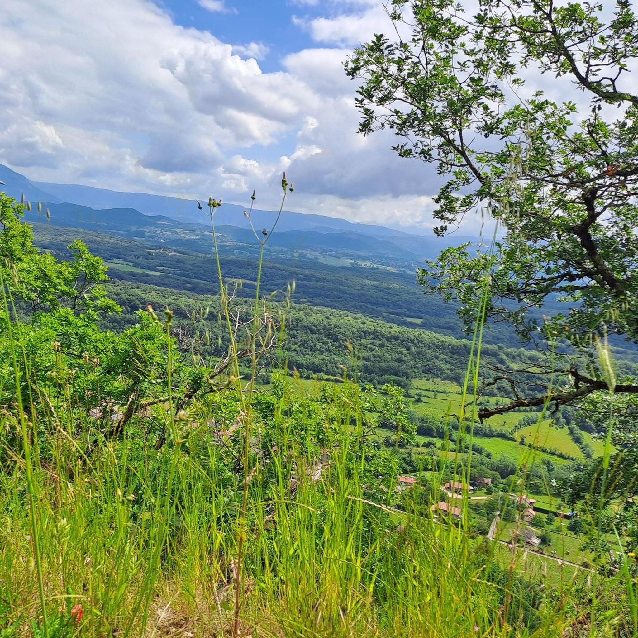
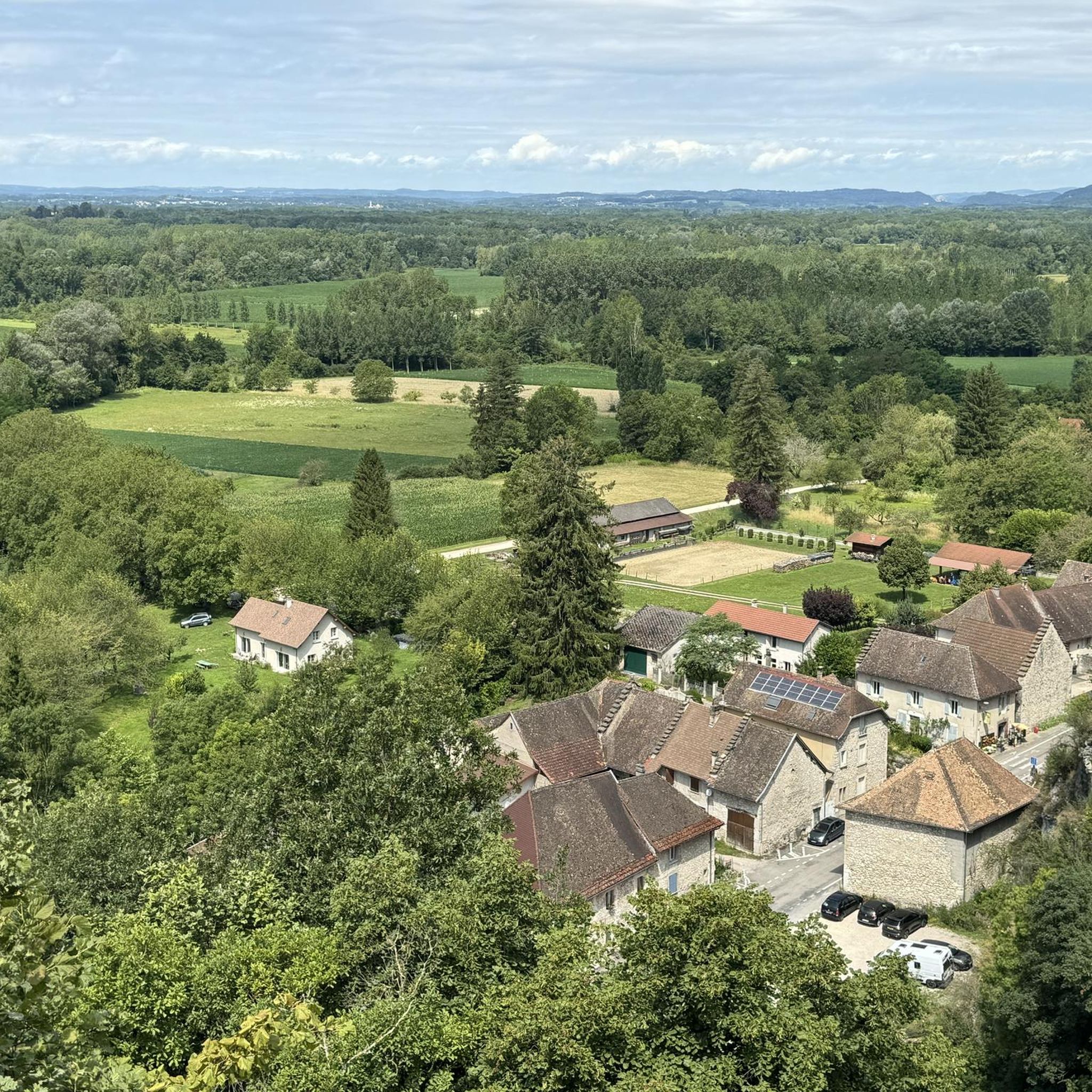
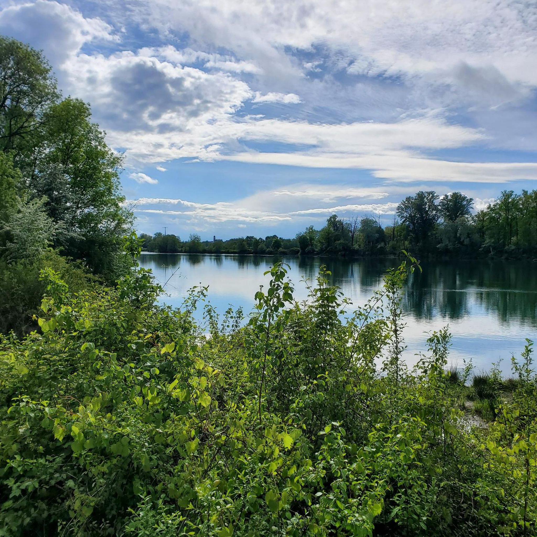

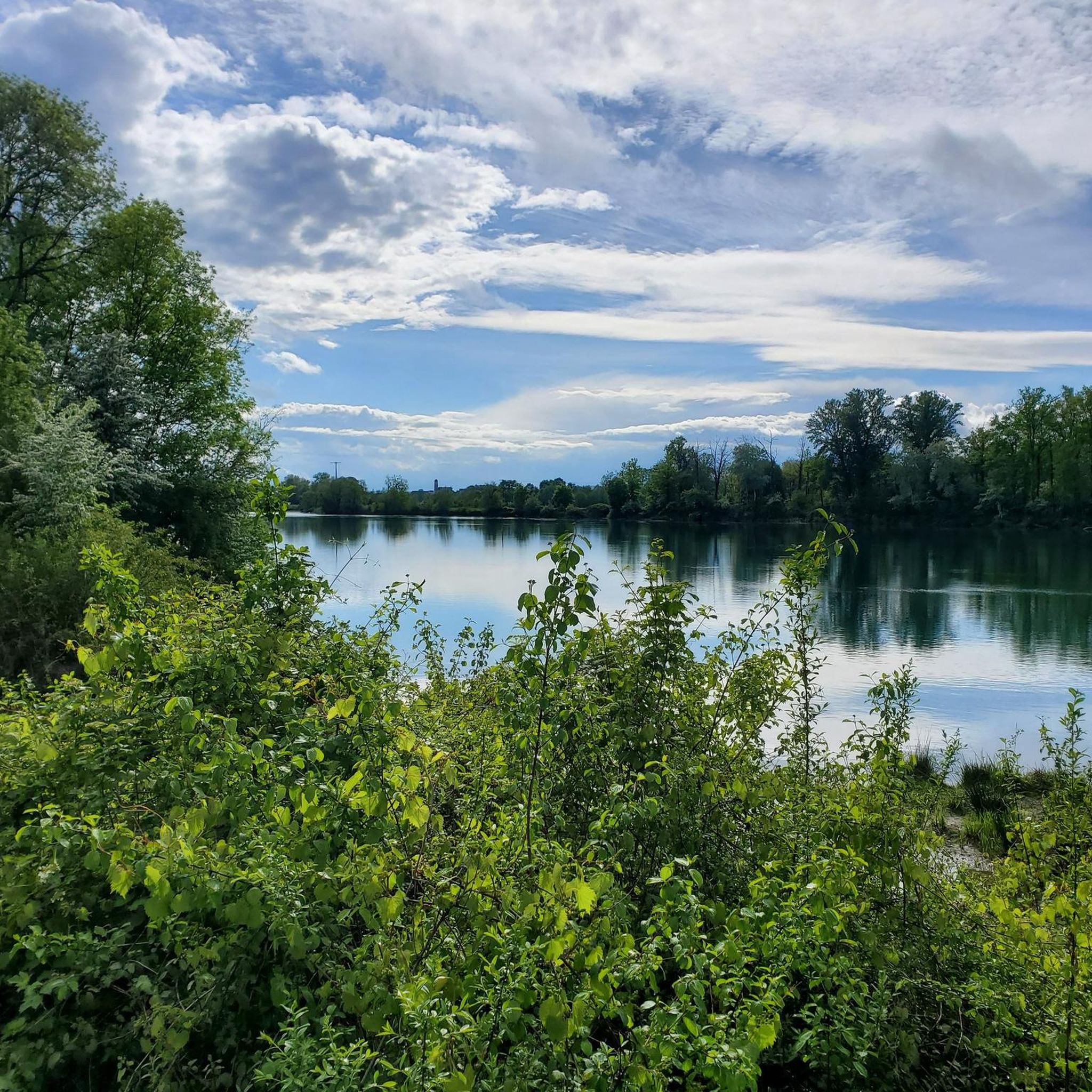
Tips from the Community

Officially referenced pass and completely passable by road bike!
1
0

The pass, located at an altitude of 1,050 meters, offers you a magnificent view of the Alps and the Rhône valley. Like most of the peaks in this region, it sometimes allows you to see Mont Blanc.
2
0
The pass is located at 1050 m and offers you a magnificent view of the Alps and the Rhone Valley. As with most peaks in this region, Mont-Blanc is sometimes visible from here.
2
0
This small but perfectly formed lake will add interest to any course.
2
0
This lake is small but perfectly formed. It adds interest to this walk.
3
0

Very nice view of Mont blanc + a 20 minute walk in the Sportif trail
1
0

The cross is close to a magnificent view of the large dovecote and around
1
0
Frequently Asked Questions
How many running routes are available around Conzieu?
There are over 100 running routes around Conzieu, offering a wide range of options for different skill levels. The komoot community has mapped 114 routes in total, ensuring plenty of choices for your next run.
What kind of terrain can I expect on the jogging trails in Conzieu?
Conzieu, nestled in the Bugey Sud region, offers incredibly varied terrain. You'll find a mix of green landscapes, natural paths, forests, and roads. The undulating relief includes forest passages, small valleys (combes crossings), and ridge paths, providing both ascents and descents suitable for challenging runs and improving endurance.
Are there any family-friendly running routes in Conzieu?
Yes, Conzieu offers several easier routes suitable for families or those looking for a less strenuous run. There are 8 easy routes available, providing gentler paths through the scenic landscapes.
Can I bring my dog on the running trails around Conzieu?
The Bugey Sud region, including Conzieu, is generally very welcoming to outdoor activities. While specific regulations for dogs on every trail may vary, many natural paths and forest routes are suitable for running with dogs. Always ensure your dog is under control and check for any local signage regarding leash requirements or restricted areas.
Are there any circular running routes in the Conzieu area?
Yes, many of the running routes around Conzieu are designed as loops, allowing you to start and finish in the same location. For example, the Lac d'Armaille – loop – running is a popular moderate trail that circles a scenic lake.
What natural features or landmarks can I see while running near Conzieu?
The region boasts beautiful natural features. You can run alongside the Gland river, which originates in Conzieu, or explore areas near Lake Crotel. Nearby attractions include the stunning Brive Waterfall and Glandieu Waterfall, as well as the serene Lac d'Ambléon. The undulating relief also offers picturesque viewpoints.
What do other runners say about the trails in Conzieu?
The running routes in Conzieu are highly rated by the komoot community, with an average score of 4.5 stars from around 50 reviews. Over 1,500 runners have used komoot to explore the varied terrain, often praising the diverse landscapes and natural beauty of the area.
Are there any challenging trail running options around Conzieu?
Absolutely. The Bugey region's undulating relief, at the southern end of the Jura chain, provides excellent opportunities for challenging trail running. There are 33 difficult routes available, including the Belvédère Saint-Joseph loop from Groslée-Saint-Benoit, which offers varied terrain and significant elevation changes.
Where can I find parking for jogging routes in Conzieu?
While specific parking details vary by route, many trailheads in the Conzieu area, especially those starting from villages or popular natural sites, typically offer designated parking. It's advisable to check the route details on komoot for specific parking information for your chosen running path.
What is the best time of year to go running in Conzieu?
Conzieu's diverse natural landscapes make it suitable for running throughout much of the year. Spring and autumn offer pleasant temperatures and vibrant scenery. Summer provides shaded forest routes, while winter can offer unique challenges with snow, especially at higher altitudes. Always check local weather conditions before heading out.
Are there any long-distance running trails in the Conzieu area?
Yes, for those looking for longer runs, there are several options. For instance, the La Croix de la Roche – Petit Pertuis Pass loop from Saint-Germain-les-Paroisses is an 11.1-mile (17.9 km) trail that takes you through extensive forest passages and ridge paths.
Can I access running routes in Conzieu using public transport?
Access to specific trailheads by public transport might be limited directly within Conzieu village. However, the broader Bugey Sud region has some public transport options connecting larger towns. For routes starting further afield, it's recommended to check local bus schedules or consider driving to the starting point.
Are there any cafes or places to get refreshments near the running trails?
Conzieu and its surrounding villages offer local amenities where you can find cafes or small shops for refreshments. While not directly on every trail, many routes start or pass through areas where you can grab a drink or a snack before or after your run.
Most popular attractions around Conzieu

Get inspired with the komoot mobile app


Explore more
Browse the best Running Trails & Routes in other regions.
