The best MTB trails around Saint-Julien-Molhesabate
4.5
(123)
840
riders
72
rides
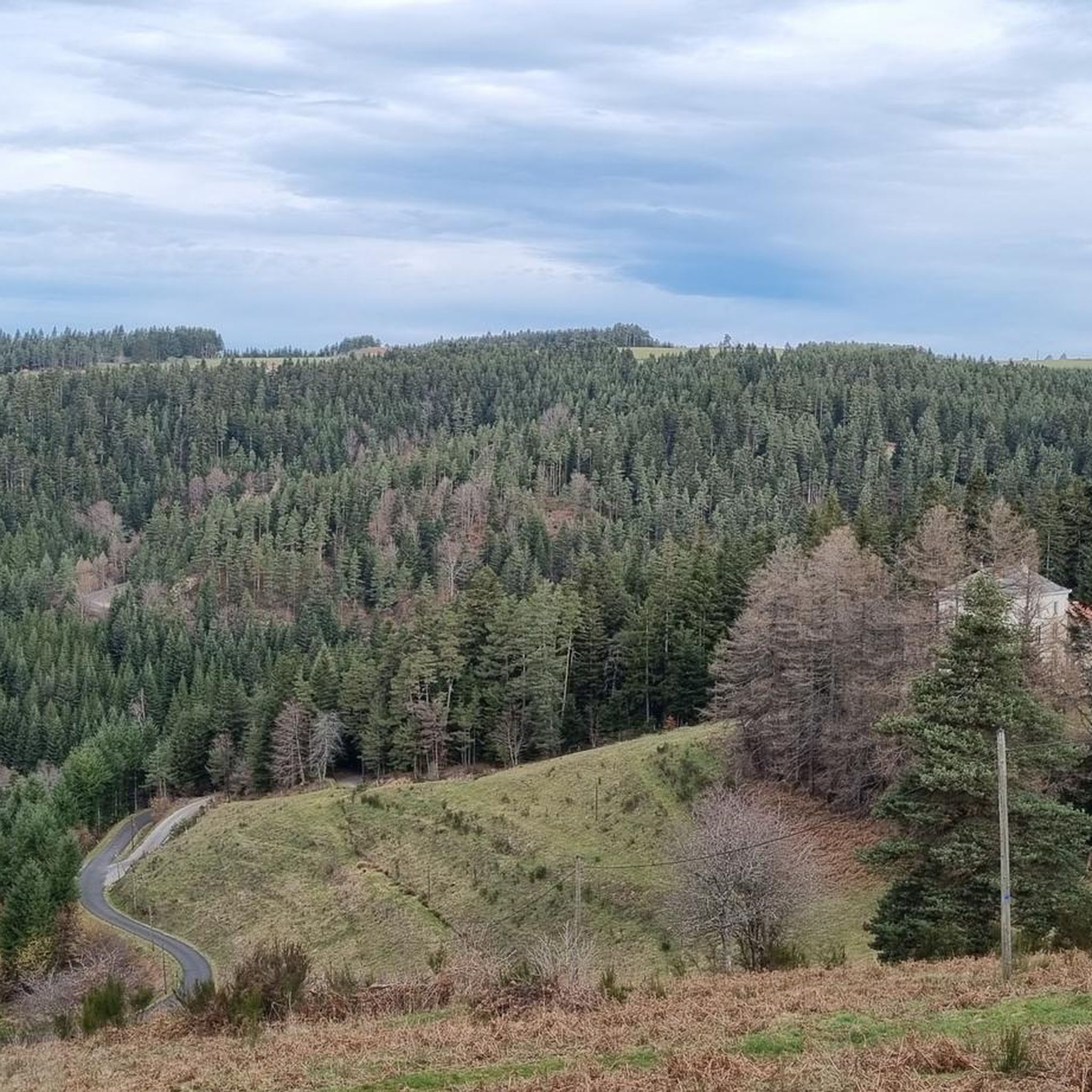
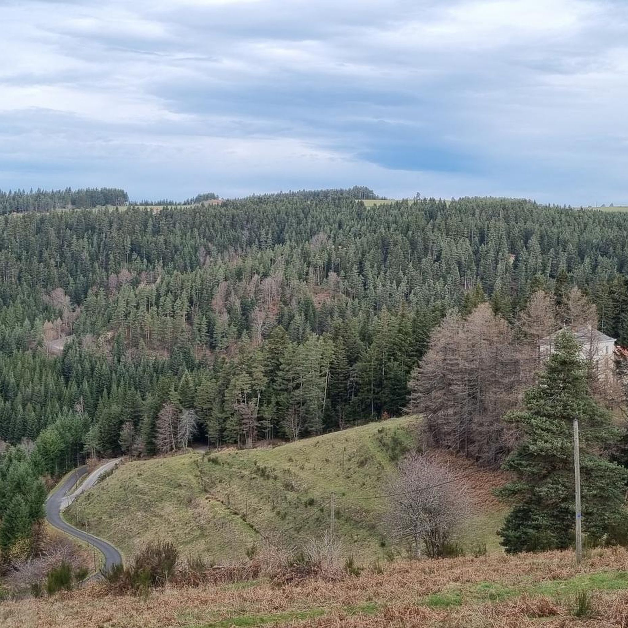
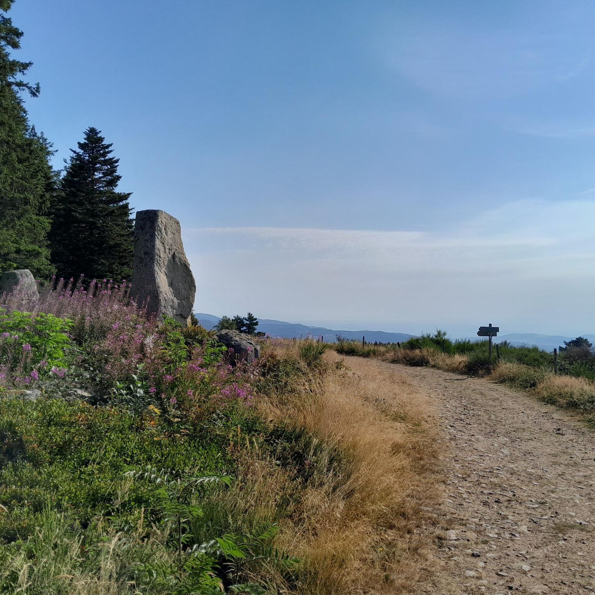
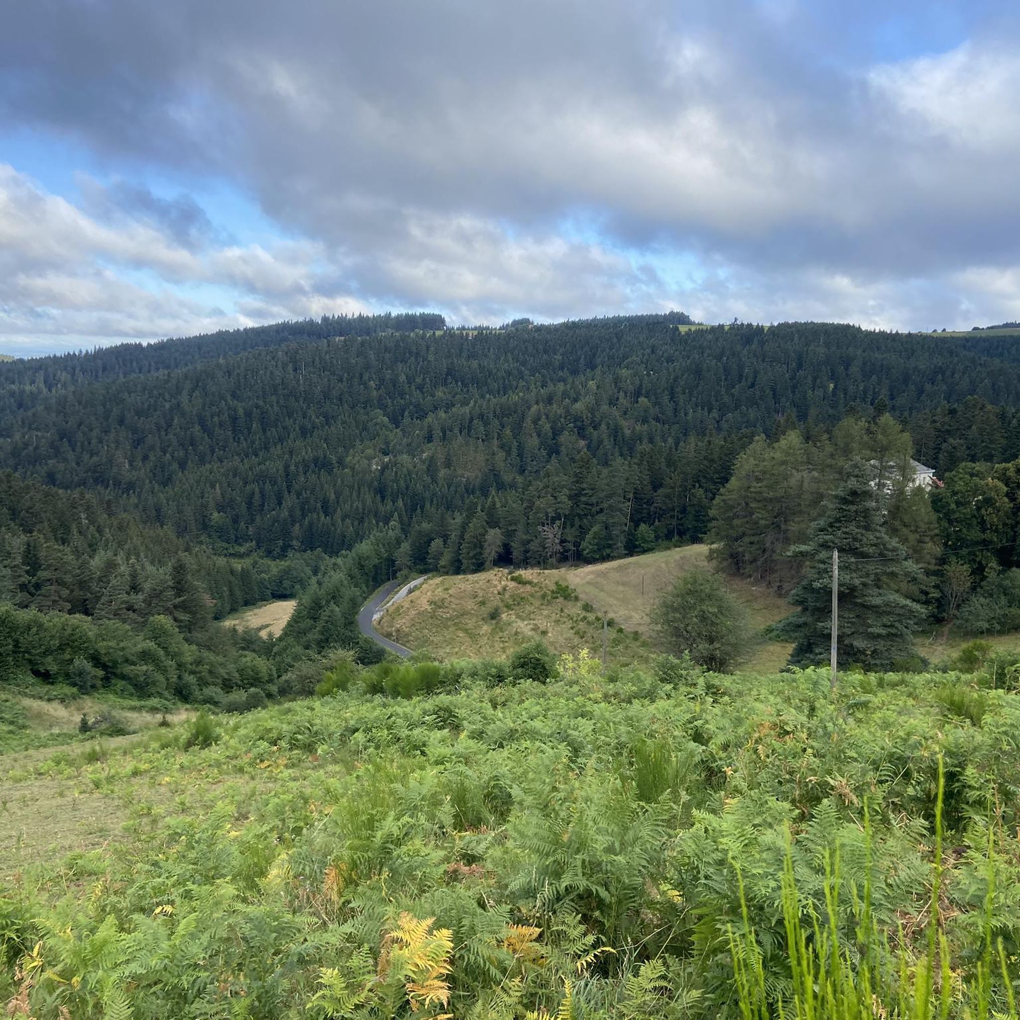
Mountain biking around Saint-Julien-Molhesabate offers varied terrain and an extensive network of trails within a preserved natural landscape. Situated at an altitude of 1,055 meters, with elevations ranging from 809 to 1,388 meters, the area is characterized by a mountainous, continental climate. Dense forests, verdant meadows, and numerous waterways define the environment on the eastern edge of the Massif Central, with Mont Felletin (Grand Felletin) being the highest point at 1,388 meters.
Best mountain bike trails around Saint-Julien-Molhesabate
- The most…
Last updated: July 13, 2026
4.9
(16)
56
riders
51.7km
03:13
580m
580m
Moderate mountain bike ride. Good fitness required. Suitable for all skill levels.
9
riders
36.1km
03:37
960m
960m
Hard mountain bike ride. Very good fitness required. Suitable for all skill levels.

Sign up for free
5.0
(1)
16
riders
38.8km
04:01
1,160m
1,160m
Hard mountain bike ride. Very good fitness required. Suitable for all skill levels.
4.0
(1)
9
riders
27.6km
02:38
560m
560m
Moderate mountain bike ride. Good fitness required. Suitable for all skill levels.
5.0
(1)
12
riders
86.6km
08:09
1,870m
1,870m
Hard mountain bike ride. Very good fitness required. Suitable for all skill levels.
Get access to more routes and recommendations from other explorers.
Sign up for free
Already have an account?
Our route recommendations are based on thousands of hikes, rides, and runs completed by other people on komoot.
Start today with a free account
Your next adventure awaits.
Login or Signup

Tips from the Community

very good route for the tour of the lake or even for training for a first triathlon 🚴♂️
0
0

Lively place, lots of shops.
0
0

Beautiful reservoir, the level is low currently because repairs are underway until 2026, but otherwise, it's a little Canada!
0
0


This small town in Haut-Lignon offers a gentle and peaceful atmosphere. Located in the heart of a unique natural environment, the town is built on the banks of du Lignon. It is a true haven of peace.
0
0

Small, fairly technical passage in the woods. Nice, I think it's part of a marked mountain bike route.
0
0
The Lavalette dam is 507 meters long and 60 meters high. This hydraulic dam was built in 1949 upstream of the Lignon river and retains the waters of Lake Lavalette, known for its water sports center.
0
0
Lake Lavalette is fed by the waters of the Lignon and covers 220 hectares at an altitude of 820 meters. The nautical leisure center offers plenty of activities such as catamaran rides, dinghy rides, windsurfing, and also equipment rental: kayaks, pedal boats, stand-up paddleboards, etc.
0
0
Frequently Asked Questions
How many mountain bike trails are available around Saint-Julien-Molhesabate?
Komoot features 67 mountain bike trails around Saint-Julien-Molhesabate. These routes offer a variety of experiences, from easy rides to challenging ascents through the region's diverse terrain.
What kind of terrain can I expect on mountain bike trails in Saint-Julien-Molhesabate?
The terrain around Saint-Julien-Molhesabate is characterized by its mountainous nature, dense forests, and verdant meadows. You'll encounter varied elevations, with altitudes ranging from 809 to 1,388 meters, providing both challenging climbs and scenic descents.
Are there any easy mountain bike trails suitable for beginners in Saint-Julien-Molhesabate?
Yes, there are 7 easy mountain bike trails around Saint-Julien-Molhesabate. A good option for a more relaxed ride is the Sarcenas Viaduct – Former railroad tunnel loop from Riotord, which is 12.3 km long and features minimal elevation changes.
What are some notable viewpoints or landmarks I can see while mountain biking in the area?
The region offers several scenic spots. A significant natural highlight is Mont Felletin (Grand Felletin), the highest point in the commune at 1,388 meters. From a viewpoint near the summit, you can enjoy panoramic views encompassing the Cance valley, the Rhône valley, and even the Alps. Other points of interest include Crêt de Chaussître and View of Rochelipe.
When is the best time of year to go mountain biking in Saint-Julien-Molhesabate?
Saint-Julien-Molhesabate experiences a mountainous, continental climate with cool summers. The best time for mountain biking is generally during the warmer months, from late spring to early autumn, when trails are clear of snow and the weather is most pleasant for outdoor activities.
Are there any family-friendly mountain bike trails in Saint-Julien-Molhesabate?
While many trails offer varied difficulty, the 7 easy routes are generally more suitable for families. For example, the Sarcenas Viaduct – Former railroad tunnel loop from Riotord is a shorter, less demanding option that could be enjoyed by families.
Can I bring my dog on the mountain bike trails around Saint-Julien-Molhesabate?
The region's preserved natural landscapes and extensive network of trails are generally welcoming to dogs. However, it's always recommended to keep your dog on a leash, especially in areas with wildlife or near livestock, and to check local regulations for specific trails or protected areas.
Are there any long-distance or challenging mountain bike routes for experienced riders?
Yes, Saint-Julien-Molhesabate offers 15 difficult mountain bike routes. For a significant challenge, consider the Lavalette Dam – Lavalette Lake Trail loop from Le Pont de Miramand, which spans 86.9 km with substantial elevation changes, or the Col super sympa loop from Saint-Julien-Molhesabate, a 38.9 km difficult path with challenging ascents.
Are there circular mountain bike routes available?
Many of the mountain bike trails around Saint-Julien-Molhesabate are designed as loops, allowing you to start and finish at the same point. Examples include the Col super sympa loop from Saint-Bonnet-le-Froid and the Trop cool !! loop from Saint-André-en-Vivarais.
What do other mountain bikers enjoy most about the trails in Saint-Julien-Molhesabate?
The trails in Saint-Julien-Molhesabate are highly rated by the komoot community, with an average score of 4.5 stars from over 90 reviews. Riders often praise the varied terrain, the beauty of the dense forests and meadows, and the challenging nature of many routes, which provide rewarding panoramic views.
Is there public transport access to the mountain bike trails in Saint-Julien-Molhesabate?
While Saint-Julien-Molhesabate is a rural area, public transport options might be limited. It's generally recommended to travel by car to access the trailheads, especially if you're bringing your own mountain bike. Check local transport schedules for the Haute-Loire department for any specific bus services that might serve the area.
Where can I find parking for mountain biking in Saint-Julien-Molhesabate?
Parking is typically available in or near the village centers of Saint-Julien-Molhesabate and surrounding communes where trails often begin. Look for designated parking areas or public spaces in these villages when planning your route.
Most popular routes around Saint-Julien-Molhesabate
Most popular attractions around Saint-Julien-Molhesabate

Get inspired with the komoot mobile app


Explore more
Browse the best MTB trails in other regions.
