The best gravel rides around Saint-Julien-Molhesabate
3.6
(5)
33
riders
1
ride
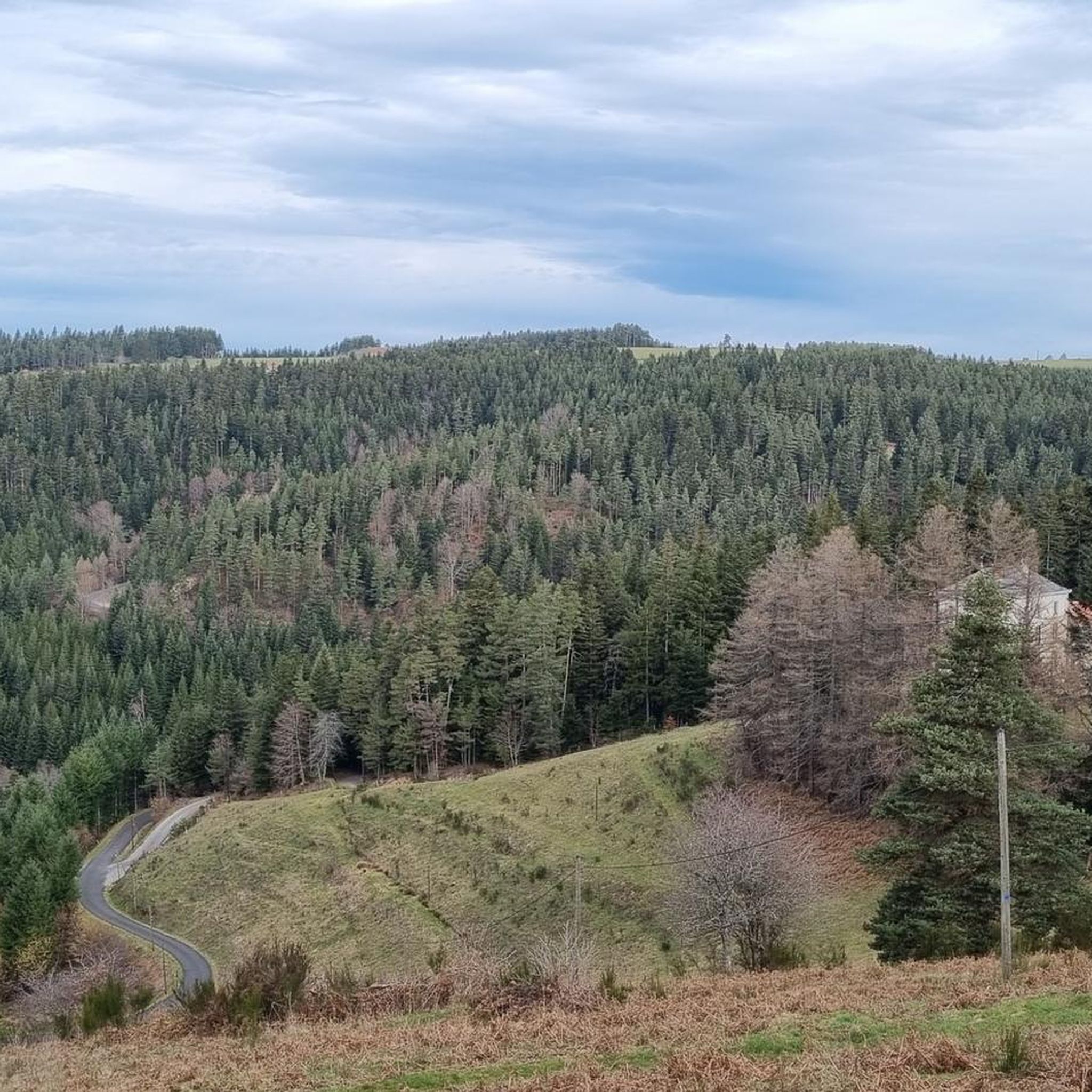
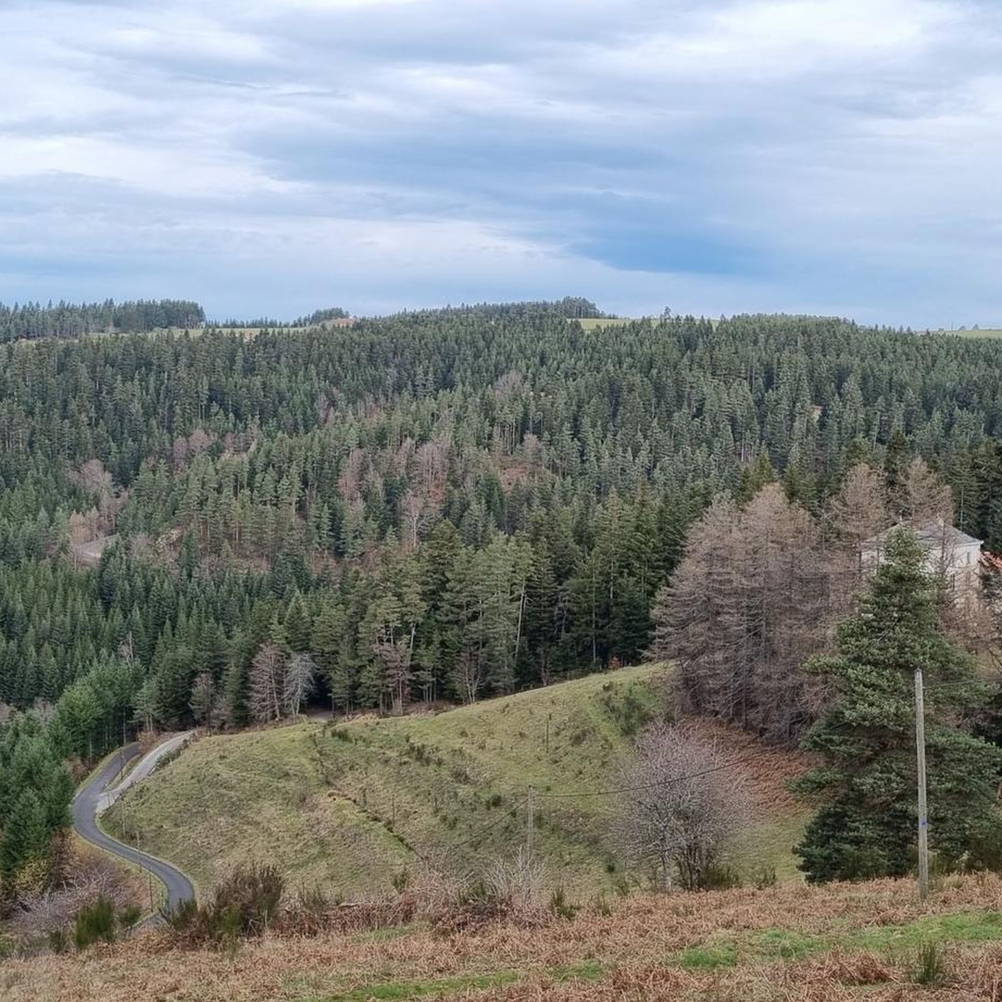
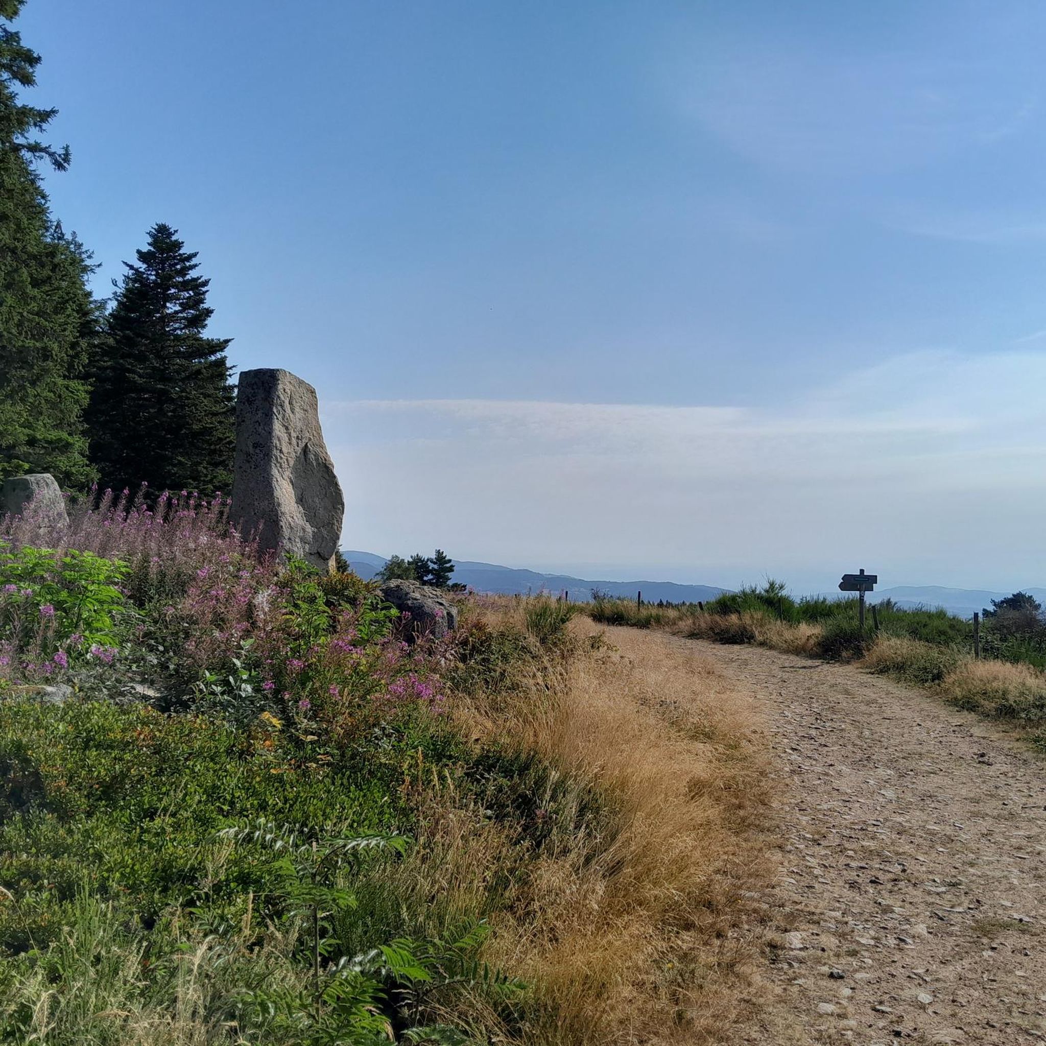
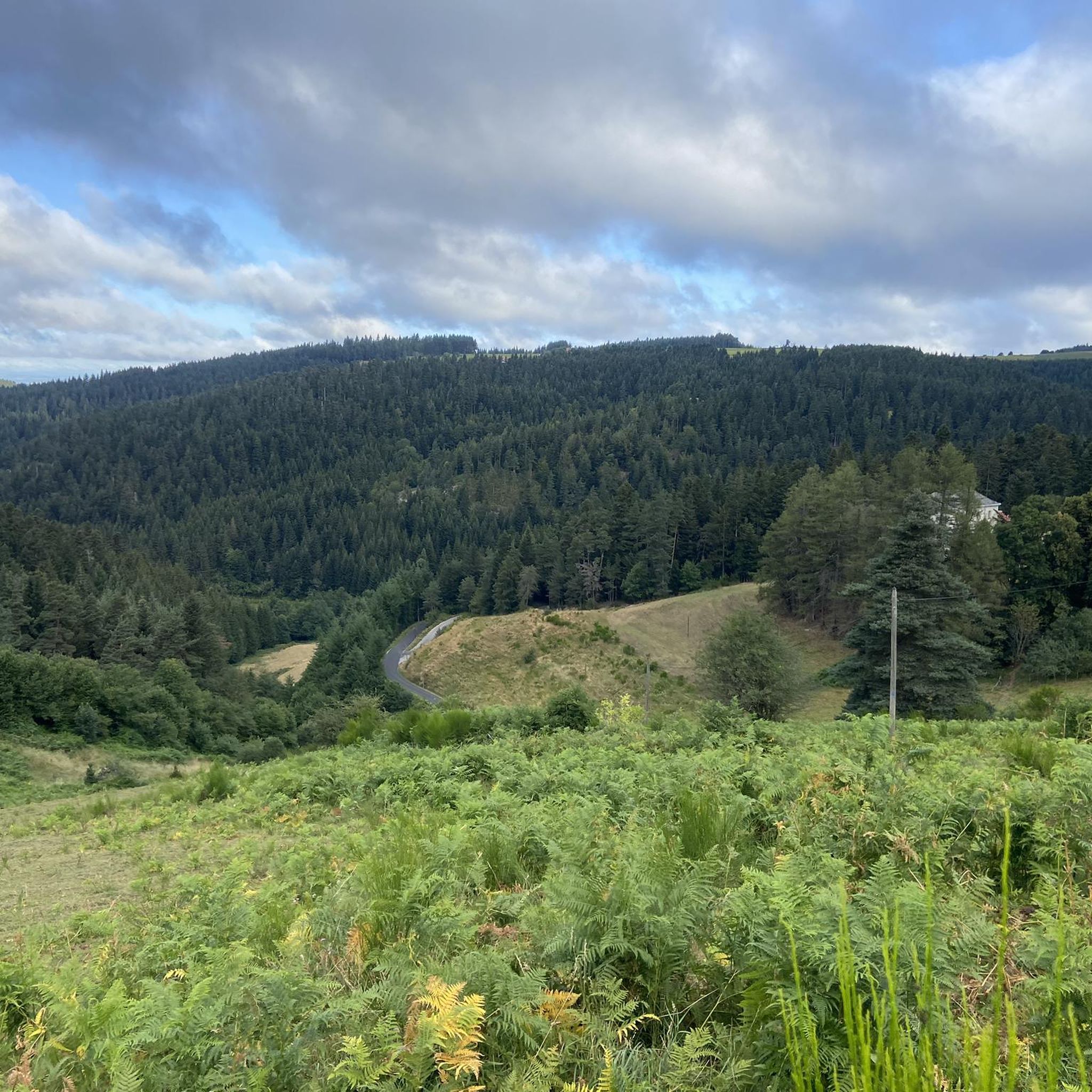
Gravel biking around Saint-Julien-Molhesabate offers diverse landscapes within the Haute-Loire department, characterized by significant elevation changes. The region features preserved forests, expansive prairies, and numerous waterways, with altitudes ranging from 809 to 1,388 meters. This varied terrain, including the prominent Mont Felletin at 1,387 meters, provides a network of trails suitable for mixed-surface cycling. The area's natural environment supports a range of outdoor activities, making it ideal for gravel biking exploration.
Best gravel bike trails around Saint-Julien-Molhesabate
- The most popular…
Last updated: November 3, 2026
5.0
(1)
12
riders
128km
08:22
1,860m
1,860m
Hard gravel ride. Very good fitness required. Mostly paved surfaces.
3.0
(1)
4
riders
32.9km
02:53
990m
1,000m
Hard gravel ride. Very good fitness required. Mostly paved surfaces.

3.5
(2)
5
riders
43.0km
03:18
740m
740m
Hard gravel ride. Very good fitness required. Mostly paved surfaces.
3
riders
31.9km
02:40
580m
580m
Hard gravel ride. Very good fitness required. Mostly paved surfaces.
1
riders
31.1km
02:54
770m
770m
Hard gravel ride. Very good fitness required. You may need to push your bike for some segments of this route.
Our route recommendations are based on thousands of hikes, rides, and runs completed by other people on komoot.
Start today with a free account
Your next adventure awaits.

Tips from the Community

very good route for the tour of the lake or even for training for a first triathlon 🚴♂️
0
0

Very nice, unfortunately the bridge no longer exists, probably washed away by a flood🫤 That said, you can still cross with a bit of portage and wet feet if the water level isn't too high.
3
0

Beautiful reservoir, the level is low currently because repairs are underway until 2026, but otherwise, it's a little Canada!
0
0


superb greenway the riverway
0
0

This small town in Haut-Lignon offers a gentle and peaceful atmosphere. Located in the heart of a unique natural environment, the town is built on the banks of du Lignon. It is a true haven of peace.
0
0
The Lavalette dam is 507 meters long and 60 meters high. This hydraulic dam was built in 1949 upstream of the Lignon river and retains the waters of Lake Lavalette, known for its water sports center.
0
0
Lake Lavalette is fed by the waters of the Lignon and covers 220 hectares at an altitude of 820 meters. The nautical leisure center offers plenty of activities such as catamaran rides, dinghy rides, windsurfing, and also equipment rental: kayaks, pedal boats, stand-up paddleboards, etc.
1
0
Frequently Asked Questions
How many gravel bike trails are available around Saint-Julien-Molhesabate?
There are several gravel bike trails available around Saint-Julien-Molhesabate, with komoot featuring over 20 routes for you to explore. These routes cater to various preferences, offering diverse landscapes and challenges.
What kind of terrain can I expect on gravel bike trails in Saint-Julien-Molhesabate?
The terrain around Saint-Julien-Molhesabate is quite varied, characterized by preserved forests, expansive prairies, and numerous waterways. You'll encounter a mix of paved and unpaved roads, forest tracks, and rolling paths, with significant elevation changes as the region ranges from 809 to 1,388 meters in altitude.
What are the typical elevation changes on gravel routes here?
Gravel routes in Saint-Julien-Molhesabate often feature challenging climbs and rewarding descents. For example, the Col super sympa – Le Grand Felletin loop from Villevocance includes over 1,000 meters of elevation gain. Other routes like the Lake Lavalette – Lavalette Dam loop from Trifoulou have around 740 meters of ascent, providing a good workout.
What do other gravel bikers say about the trails in Saint-Julien-Molhesabate?
The routes in Saint-Julien-Molhesabate are highly rated by the komoot community, with an average score of 3.25 stars from several reviews. More than 20 gravel bikers have used komoot to explore the varied terrain, often praising the challenging climbs and scenic views.
Are there any notable viewpoints or natural landmarks along the gravel bike routes?
Yes, the region offers stunning natural landmarks. Mont Felletin, for instance, provides panoramic vistas that include the Cance valley, the Annonay basin, the Rhône valley, and even the Alps. You can also find highlights like Crêt de Chaussître, Col du Tracol, and View of Rochelipe, which offer great scenic stops.
Can I explore any historical or cultural sites while gravel biking?
While the primary draw is nature, some routes pass by interesting sites. The Château de Duby loop from Marlhes suggests a historical element. Additionally, you might encounter an old abbey near the summit of Grand Felletin, and highlights like La Papeterie Mill are also in the vicinity.
Is there parking available near the gravel bike trailheads?
Yes, parking is generally available in the villages and towns that serve as starting points for these routes, such as Villevocance, Marlhes, and Trifoulou. It's always a good idea to check specific route details on komoot for precise parking information.
What is the best time of year for gravel biking in Saint-Julien-Molhesabate?
The best time for gravel biking is typically from spring to autumn. The region experiences a mountain climate, with cool summers and cold winters. Spring and autumn offer pleasant temperatures and vibrant landscapes, while summer provides warmer conditions ideal for longer rides. Always check local weather forecasts before heading out.
Are there any loop gravel bike routes available?
Yes, many of the gravel bike routes in Saint-Julien-Molhesabate are designed as loops, allowing you to start and finish in the same location. Examples include the Col super sympa – Le Grand Felletin loop from Villevocance, the Château de Duby loop from Marlhes, and the Lake Lavalette – Lavalette Dam loop from Trifoulou.
Are there any routes that focus on the area's water features?
Yes, the region is known for its numerous waterways. The Lake Lavalette – Lavalette Dam loop from Trifoulou leads through forested areas and past the Lavalette Dam. Additionally, the Via fluvia in the forest – Waterways loop from Trifoulou is another excellent option for exploring the area's water features.
Can I find cafes or pubs along the gravel bike routes?
While Saint-Julien-Molhesabate itself is a small commune, nearby towns like Riotord, Dunieres, and Montfaucon-en-Velay offer local markets and amenities where you can find cafes and pubs. It's advisable to plan your route and check for services in advance, especially in more remote sections.
Most popular routes around Saint-Julien-Molhesabate
Most popular attractions around Saint-Julien-Molhesabate

Get inspired with the komoot mobile app


Explore more
Browse the best Gravel rides in other regions.
