The best cycling routes around Hauteville-Lompnes
4.4
(85)
1,378
riders
60
rides
Touring cycling around Hauteville-Lompnes features a medium-mountain environment, situated on a limestone plateau at altitudes between 800 and 1200 meters. The terrain includes forests, valleys like the Albarine, and several lakes and marshlands such as Lac des Lésines and Marais de Vaux. Mountain passes like Col de la Lèbe and Col de la Rochette offer varied elevation for cyclists.
Best touring cycling routes around Hauteville-Lompnes
- The most popular touring cycling route is Le Marais de Vaux — loop from Hauteville-Lompnes…
Last updated: October 22, 2026
3.3
(3)
5
riders
17.5km
01:22
450m
450m
Moderate bike ride. Good fitness required. Mostly paved surfaces.
4.3
(3)
33
riders
50.6km
03:04
440m
440m
Moderate bike ride. Good fitness required. Mostly paved surfaces.

4.5
(2)
27
riders
19.3km
01:45
340m
340m
Hard bike ride. Good fitness required. You may need to push your bike for some segments of this route.
4.0
(1)
27
riders
60.8km
04:09
1,040m
1,040m
Hard bike ride. Very good fitness required. Mostly paved surfaces.
1.0
(1)
25
riders
91.4km
06:48
2,210m
2,210m
Hard bike ride. Very good fitness required. Mostly paved surfaces.
Get access to more routes and recommendations from other explorers.
Already have an account?
Our route recommendations are based on thousands of hikes, rides, and runs completed by other people on komoot.
Start today with a free account
Your next adventure awaits.
Popular around Hauteville-Lompnes
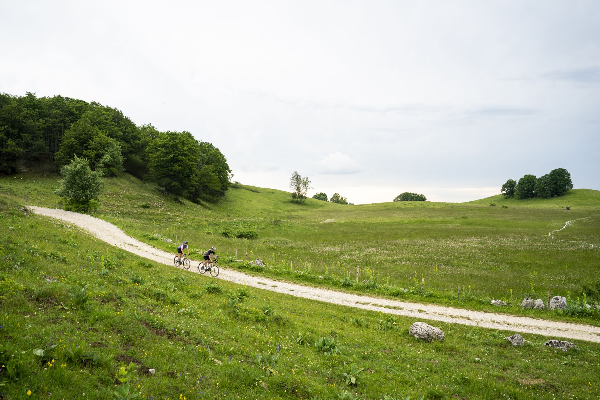
Gravel in Ain — sporty loops between water and mountain
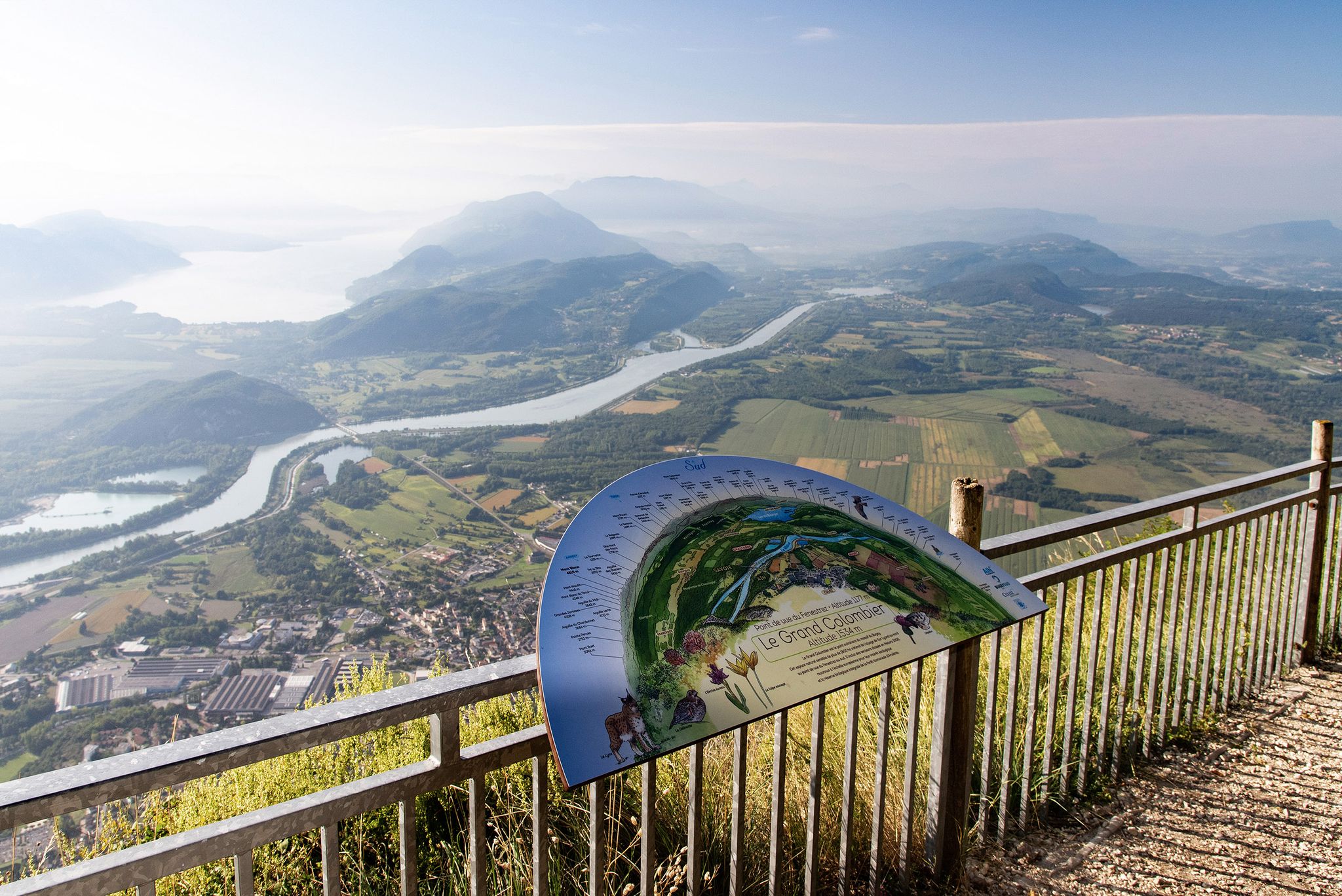
Tour de Pays MTB Bugey - Grand Colombier - Espace FFC Ain Forestière
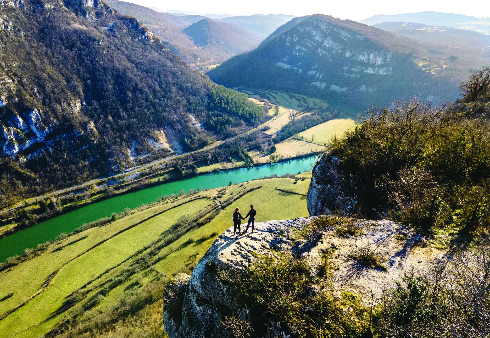
Secrets of the Ain – 10 wonderful watery hikes
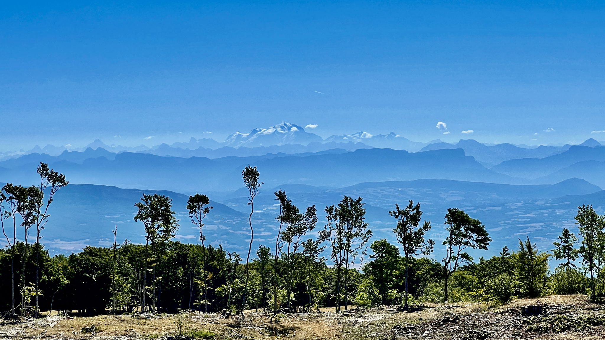
Circuits VTT entre Plateau de Retord et Grand Colombier
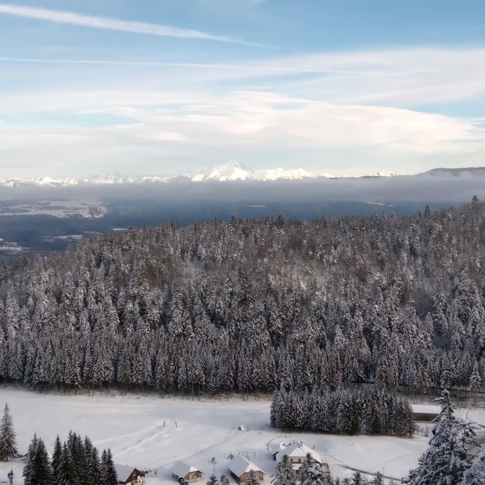
Hiking around Hauteville-Lompnes
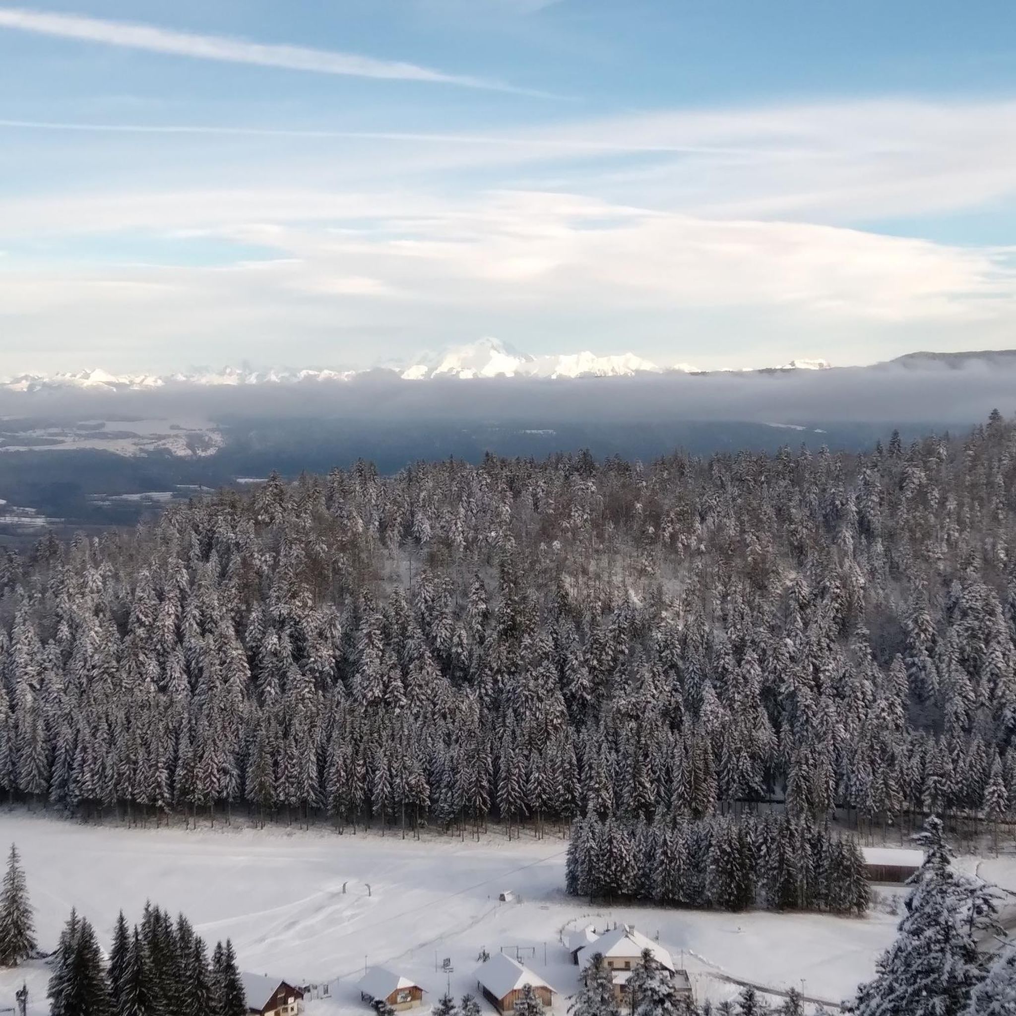
Road Cycling Routes around Hauteville-Lompnes

Gravel biking around Hauteville-Lompnes
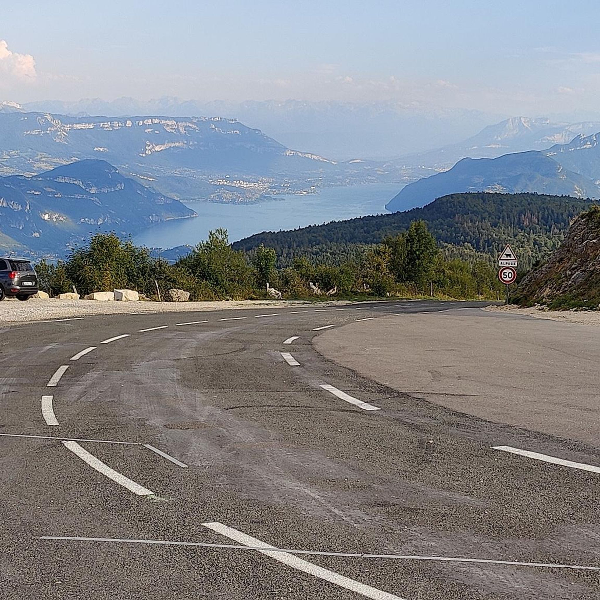
Running Trails around Hauteville-Lompnes
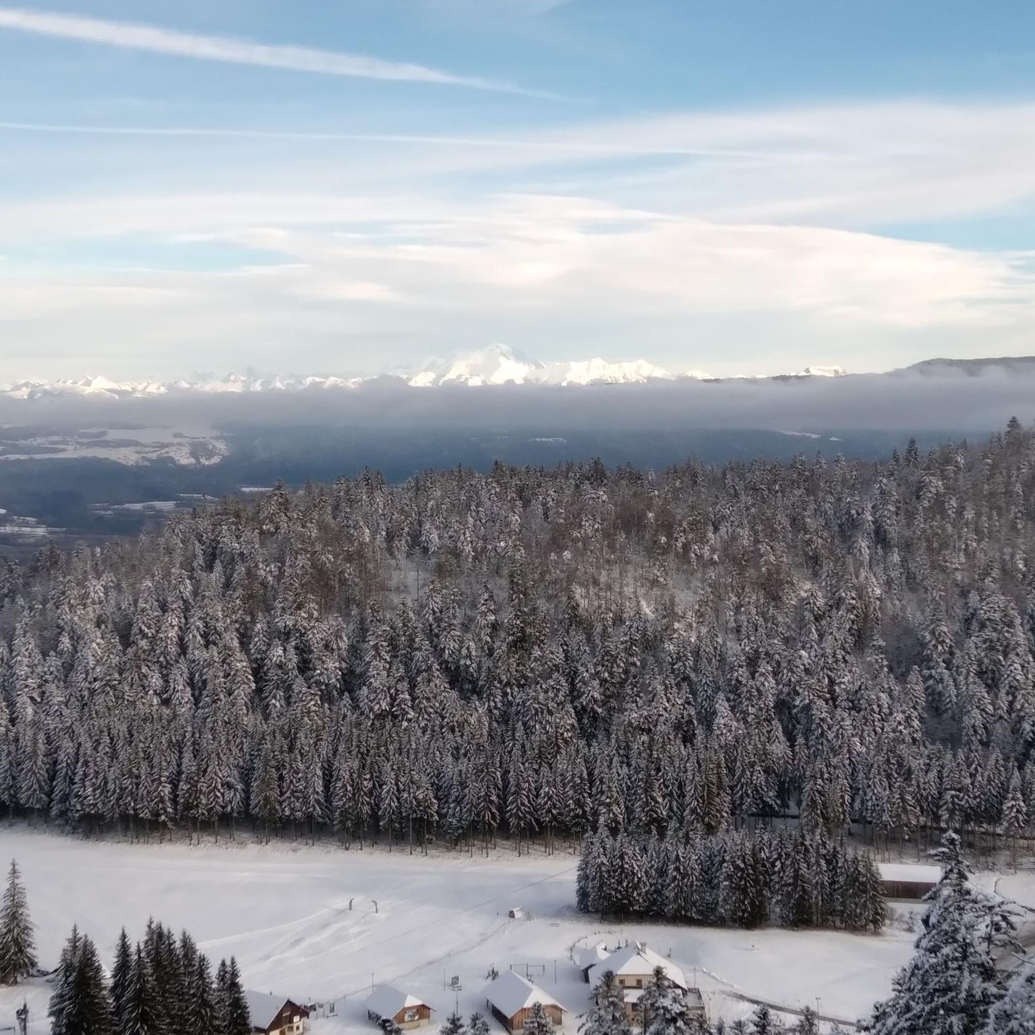
MTB Trails around Hauteville-Lompnes
Other adventures around Hauteville-Lompnes


Tips from the Community

Monument in memory of the combatants of the Second World War in the heart of Valromey.
0
0


Magnificent pass, very few cars for a Sunday afternoon and a top-notch panorama 👌
1
0

A lovely pool of water in Lochieu. A perfect place to cool off if you're planning to cycle up to the Grand Colombier.
0
0

Water point and shoe brushes
0
0

The Col de Bérentin connects the Valserine Valley to the Retord Plateau, passing through the beautiful Jura forests. Its ascent is gradual and the road is little traveled.
0
0


Description Comté cheeses are made here every morning using traditional techniques. To see Comté being made from the viewing gallery, arrive before 10:30 a.m. Opening Hours From January 2nd to December 31st Open Mondays from 8:30 a.m. to 12:00 p.m. Tuesday, Wednesday, Thursday, Friday, and Saturday from 8:30 a.m. to 12:00 p.m. and from 2:00 p.m. to 6:30 p.m. Sundays from 8:30 a.m. to 12:00 p.m. Exceptionally closed on May 1st and December 25th. Annual closures on May 1st and December 25th.
0
0
Frequently Asked Questions
How many touring cycling routes are there in Hauteville-Lompnes?
There are over 45 touring cycling routes available around Hauteville-Lompnes, catering to various skill levels. You'll find a mix of easy, moderate, and challenging paths to explore the region's diverse landscapes.
What kind of terrain can I expect on touring cycling routes in Hauteville-Lompnes?
The region features a medium-mountain environment on a limestone plateau, with altitudes ranging from 800 to 1200 meters. You can expect varied topography including dense forests, picturesque valleys like the Albarine, and numerous mountain passes such as Col de la Lèbe and Col de la Rochette. Some routes also pass by tranquil lakes and marshlands.
Are there any family-friendly touring cycling routes in Hauteville-Lompnes?
Yes, Hauteville-Lompnes offers several routes suitable for families. For a relatively easy and scenic option, consider the Le Marais de Vaux — loop from Hauteville-Lompnes, which is about 17.5 km long and explores a unique natural ecosystem.
What are some notable natural attractions or landmarks I can see along the cycling routes?
Hauteville-Lompnes is rich in natural beauty. You can encounter impressive waterfalls like the Cerveyrieu Waterfall and Claire Fontaine Waterfall. The Thurignin Gorges offer a dramatic landscape, especially after rain. For historical interest, Allymes Castle is also nearby.
Are there any challenging routes for experienced touring cyclists?
Absolutely. For experienced cyclists seeking a challenge, routes like The Sugarloaf – Rochette Pass loop from Hauteville-Lompnes offer significant elevation gain, with over 2200 meters of ascent over its 88 km distance. The region's numerous mountain passes provide ample opportunity for demanding climbs.
What is the best time of year to go touring cycling in Hauteville-Lompnes?
The climate in Hauteville-Lompnes is described as mountainous, dry, and sunny, making it generally conducive for cycling. Spring and autumn offer pleasant temperatures and beautiful scenery, while summer provides longer daylight hours. Winter can bring snow, making it more suitable for snow sports than touring cycling.
Are there any circular touring cycling routes available?
Yes, many of the touring cycling routes in Hauteville-Lompnes are designed as loops, allowing you to start and finish at the same point. Examples include the Brénod – Auffahrt zum Bellaroche loop from Hauteville-Lompnes and the Château d'Hauteville-Lompnes – Brénod loop from Hauteville-Lompnes.
What do other touring cyclists say about the routes in Hauteville-Lompnes?
The touring cycling routes in Hauteville-Lompnes are highly rated by the komoot community, with an average score of 4.1 stars from over 20 reviews. Cyclists often praise the varied terrain, the stunning plateau views, and the opportunity to explore tranquil natural areas like the Lac des Lésines.
Can I find routes that pass by lakes or marshlands?
Yes, the region features several routes that include lakes and marshlands. The Lesines Pond – Haut Bugey country of calm loop from Hauteville-Lompnes, for instance, leads through varied landscapes including the tranquil Lac des Lésines. The Marais de Vaux is another protected natural area with unique ecosystems to explore.
Are there options for shorter touring cycling trips?
Yes, if you're looking for a shorter ride, there are several options. The Le Marais de Vaux — loop from Hauteville-Lompnes is a popular choice at 17.5 km, typically completed in about 1 hour 20 minutes. Another option is the Lesines Pond – Haut Bugey country of calm loop from Hauteville-Lompnes, which is around 19.4 km.
Is Hauteville-Lompnes suitable for touring cyclists who enjoy mountain passes?
Absolutely. Hauteville-Lompnes is situated on a plateau dotted with numerous mountain passes, making it an excellent destination for cyclists who enjoy climbs. Passes like Col de la Lèbe, Col de la Rochette, Gigimont, and Planachat offer rewarding ascents and panoramic views of the surrounding landscape.
Most popular routes around Hauteville-Lompnes
Most popular attractions around Hauteville-Lompnes

Get inspired with the komoot mobile app


Explore more
Browse the best Cycling routes in other regions.
