The best running trails around Jujurieux
4.4
(56)
2,328
runners
219
runs
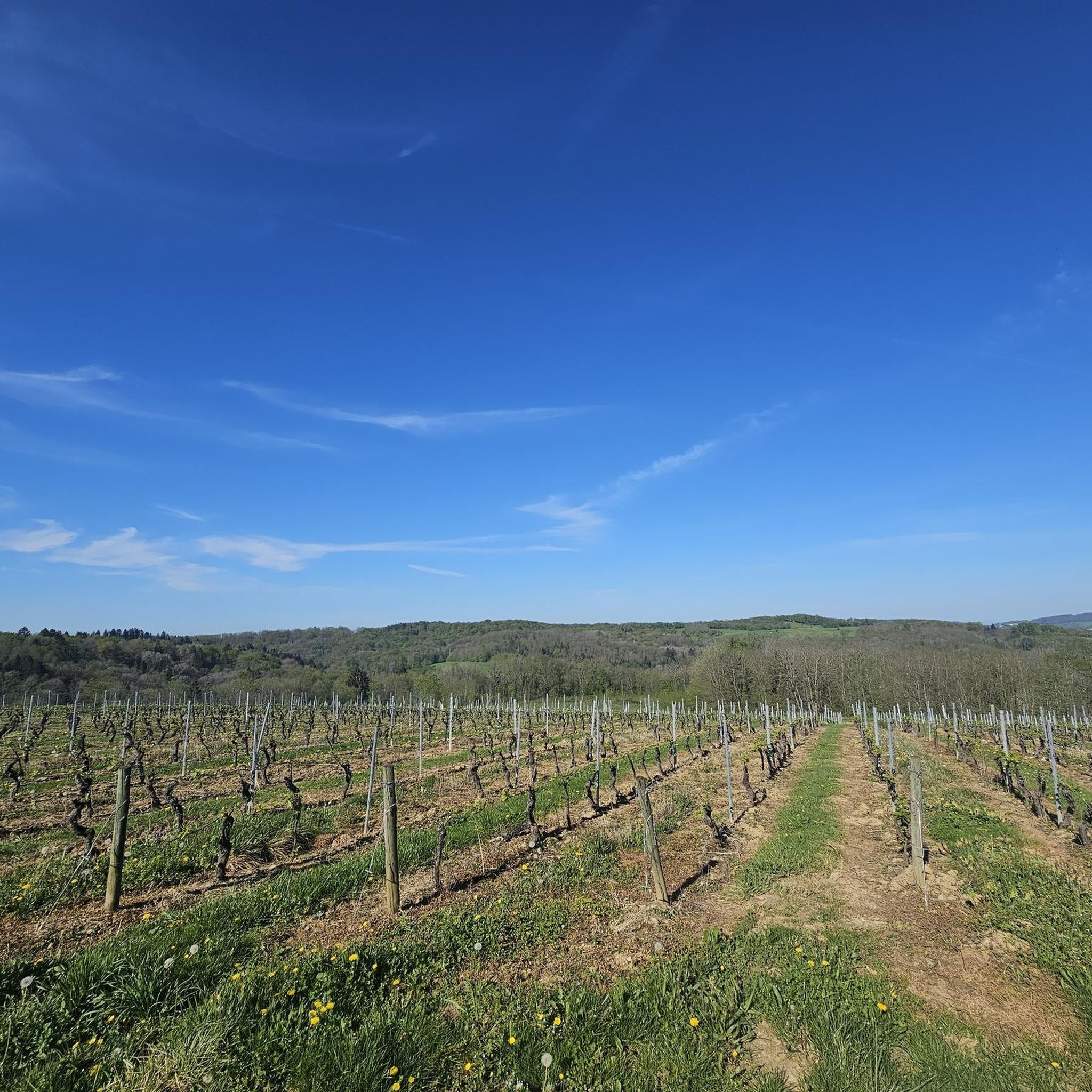
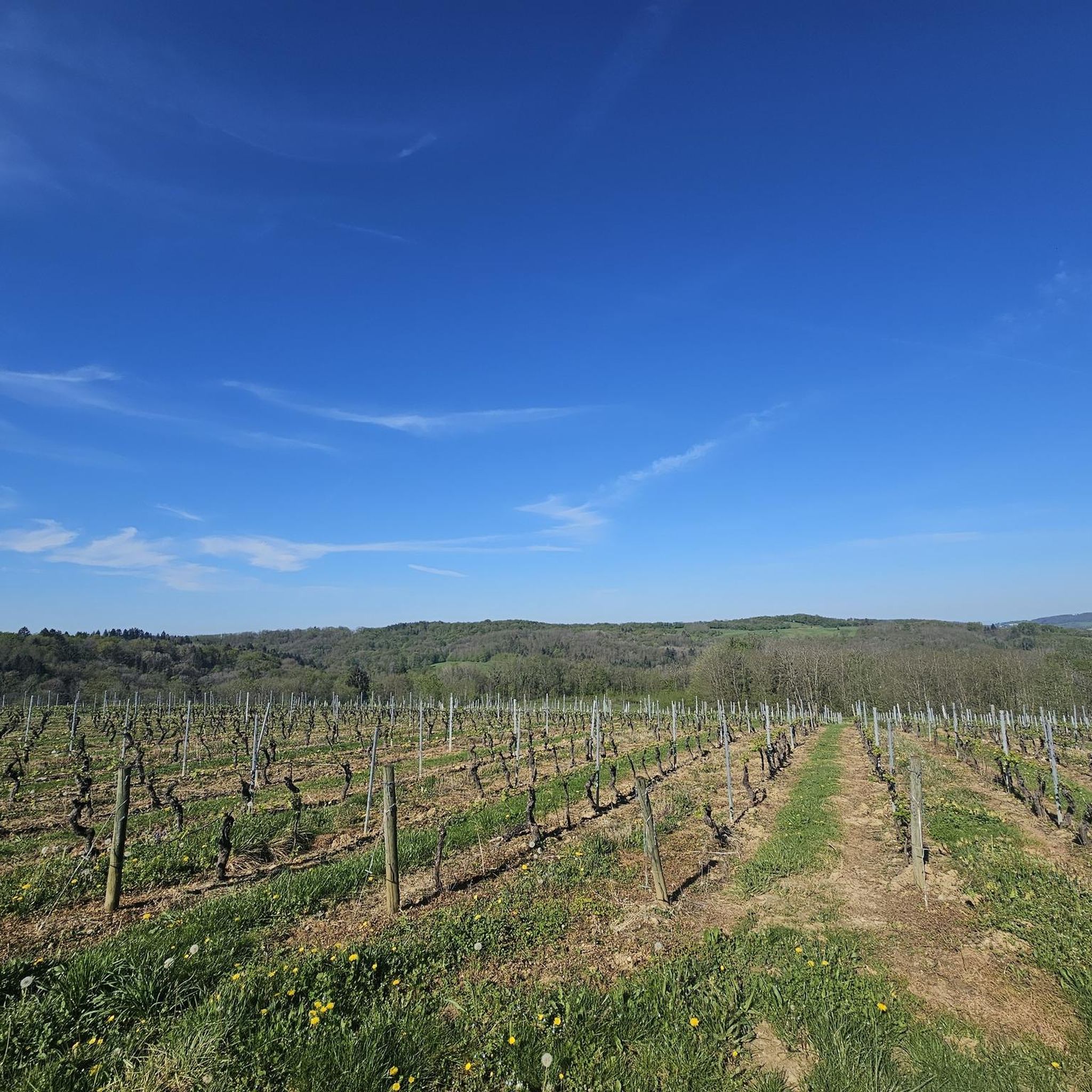
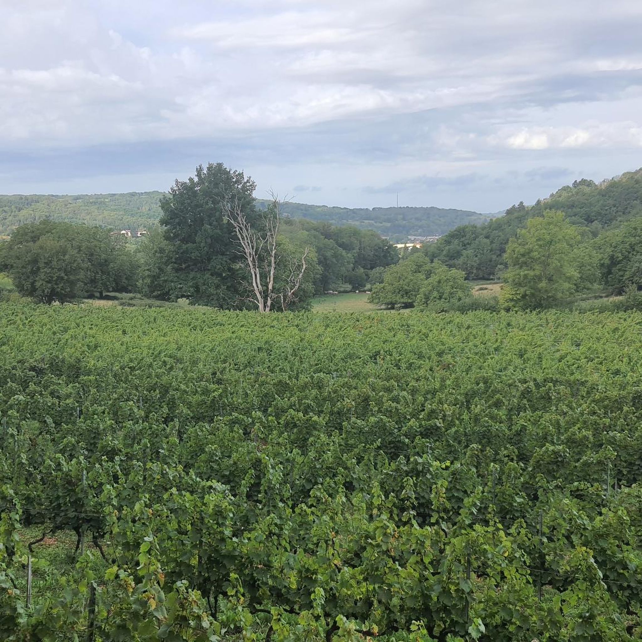
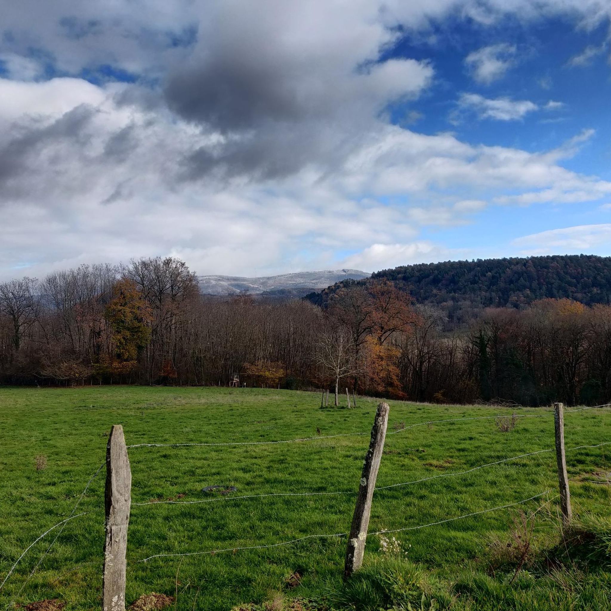
Jogging routes Jujurieux traverse a varied terrain, characterized by hills and elevated areas that provide expansive views. The region features paths winding through vineyard landscapes and along natural water features like the Lac Bleu. Located in the Ain department, Jujurieux offers a mix of plains, plateaus, and gentle ascents, suitable for different running preferences.
Best jogging routes around Jujurieux
- The most popular jogging route is Running loop from Jujurieux, a 6.1 miles (9.9 km) trail that takes 1 hour…
Last updated: July 11, 2026
9
runners
9.61km
01:11
200m
200m
Moderate run. Good fitness required. Mostly paved surfaces. Suitable for all skill levels.
9
runners
10.3km
01:05
70m
70m
Moderate run. Good fitness required. Mostly paved surfaces. Suitable for all skill levels.

Sign up for free
3
runners
6.76km
00:44
100m
100m
Moderate run. Good fitness required. Mostly paved surfaces. Suitable for all skill levels.
3
runners
13.8km
01:43
340m
340m
Hard run. Very good fitness required. Mostly paved surfaces. Suitable for all skill levels.
2
runners
15.6km
01:59
390m
390m
Hard run. Very good fitness required. Mostly paved surfaces. Suitable for all skill levels.
Get access to more routes and recommendations from other explorers.
Sign up for free
Already have an account?
Our route recommendations are based on thousands of hikes, rides, and runs completed by other people on komoot.
Start today with a free account
Your next adventure awaits.
Login or Signup
Tips from the Community

Geological curiosity, the rock opens in two over 100m long. It is possible to go down to the bottom from the east end and you find yourself 10m below.
1
0
Frequently Asked Questions
How many running routes are available around Jujurieux, and what are their difficulty levels?
Jujurieux offers a diverse network of over 20 running routes. These include options for various fitness levels: 1 easy route, 14 moderate routes, and 5 more challenging trails, ensuring there's something for every runner.
What kind of terrain can I expect on the jogging routes in Jujurieux?
The running routes in Jujurieux feature a varied terrain, characterized by rolling hills and elevated areas that provide expansive views. You'll find paths winding through picturesque vineyard landscapes, as well as trails along natural water features like the Lac Bleu on the Gardon. The broader Ain department offers a mix of plains, plateaus, and gentle ascents.
Are there any historical landmarks or points of interest I can see while running in Jujurieux?
Yes, Jujurieux is known as a 'village of castles,' and several historical sites can be incorporated into your runs. You might encounter structures like Allymes Castle or Château Saint-Germain, which are often situated on hills offering panoramic views. The region's rich history adds a cultural dimension to your outdoor activity.
What do other runners enjoy most about the trails in Jujurieux?
The running trails in Jujurieux are highly rated by the komoot community, with an average score of 4.4 stars from over 40 reviews. Runners frequently praise the varied terrain, the scenic vineyard landscapes, and the well-maintained pathways that guide them through hamlets and to panoramic viewpoints.
Are there any running routes that offer scenic views or natural attractions?
Absolutely. Many routes in Jujurieux provide magnificent points of view and panoramas on the plains and surrounding areas. The Lac Bleu on the Gardon is a particularly picturesque spot with its vibrant blue water, offering a beautiful backdrop for a run. You might also find trails near the Cascade de la Fouge.
Are there any easy or beginner-friendly jogging paths in Jujurieux?
Yes, Jujurieux offers at least one easy running route, perfect for beginners or those looking for a less strenuous jog. These routes typically involve gentle slopes and well-marked pathways, making them accessible for various fitness levels. For example, the Running loop from Jujurieux is a moderate option that provides a general exploration of the local landscape.
What is the best season to go running in Jujurieux?
Jujurieux is suitable for running throughout much of the year due to its diverse landscapes. Spring and autumn offer pleasant temperatures and beautiful scenery, with vineyards changing colors. Summer can be enjoyable, especially on routes with natural water features like the Lac Bleu. Even winter can be an option, with trails offering a different kind of serene beauty, though some higher elevation paths might require more caution.
Are there any running routes that are suitable for families or dog-friendly?
While specific routes aren't explicitly marked as 'family-friendly' or 'dog-friendly' in the guide data, the presence of many marked pathways and varied terrain suggests that several easy to moderate routes could be suitable. The region's natural environment, including areas around the Lac Bleu, often provides pleasant settings for outings with dogs, though always check local regulations regarding pets on trails.
Where can I find parking for the running trails in Jujurieux?
Jujurieux is well-equipped for visitors, and many marked pathways are accessible from various points. While specific parking locations for each route are not detailed here, it's generally possible to find parking within the village or at trailheads, especially for popular loops. Local information boards often provide details on designated parking areas.
Are there any cafes or restaurants near the running routes in Jujurieux?
Jujurieux, as a charming village, offers amenities for visitors. While specific cafes or restaurants directly on the trails are uncommon, you can typically find establishments within the village center or nearby hamlets to refuel after your run. Exploring the local area will reveal options for a post-run coffee or meal.
What is the longest running route available in Jujurieux?
One of the longer running options is the Riverside Swimming Beach – Church loop from Jujurieux, which spans approximately 9.9 miles (15.9 km). This route is classified as difficult and typically takes about 1 hour 42 minutes to complete, offering an extended exploration of riverside scenery.
Can I access the running trails in Jujurieux using public transport?
While Jujurieux is a rural area, public transport options may connect it to larger towns in the Ain department. For detailed information on bus schedules and stops that might provide access to trailheads, it's advisable to consult local transport authorities or regional tourism websites. The village itself serves as a good starting point for many routes.
Are there any routes that pass through vineyard landscapes?
Yes, the region around Jujurieux is known for its vineyard landscapes. Many running paths, such as the 'Vineyard track' mentioned in regional research, wind through these picturesque areas, offering unique views and a pleasant running experience amidst the vines. The general character of the area includes these scenic agricultural settings.
Most popular attractions around Jujurieux

Get inspired with the komoot mobile app


Explore more
Browse the best Running Trails & Routes in other regions.
