The best walks and hikes around Saint-Remy
4.6
(491)
2,435
hikers
132
hikes
Hiking around Saint-Remy offers diverse landscapes within the Alpilles Regional Natural Park. The region is characterized by low limestone mountains, fragrant garrigue, ancient olive groves, and vineyards. Trails traverse a mix of rugged terrain, open plains, and shaded paths, providing varied experiences for hikers. The area's Mediterranean climate contributes to its appeal for outdoor activities.
Best hiking trails around Saint-Remy
- The most popular hiking route is Water cave – Sloping rocks loop from Étival-Clairefontaine, a 2.9 miles (4.6 km)…
Last updated: July 5, 2026
4.8
(12)
40
hikers
5.39km
01:36
160m
160m
Easy hike. Great for any fitness level. Easily-accessible paths. Suitable for all skill levels.
4.6
(7)
32
hikers
7.90km
02:27
210m
210m
Hard hike. Good fitness required. Sure-footedness, sturdy shoes and alpine experience required.

Sign up for free
4.8
(5)
18
hikers
Moderate hike. Good fitness required. Easily-accessible paths. Suitable for all skill levels.
5.0
(1)
14
hikers
7.55km
02:12
200m
200m
Moderate hike. Good fitness required. Easily-accessible paths. Suitable for all skill levels.
4.2
(5)
11
hikers
4.99km
01:29
150m
150m
Easy hike. Great for any fitness level. Easily-accessible paths. Suitable for all skill levels.
Get access to more routes and recommendations from other explorers.
Sign up for free
Already have an account?
Our route recommendations are based on thousands of hikes, rides, and runs completed by other people on komoot.
Start today with a free account
Your next adventure awaits.
Login or Signup


Tips from the Community

Very beautiful rock and viewpoint.
0
0

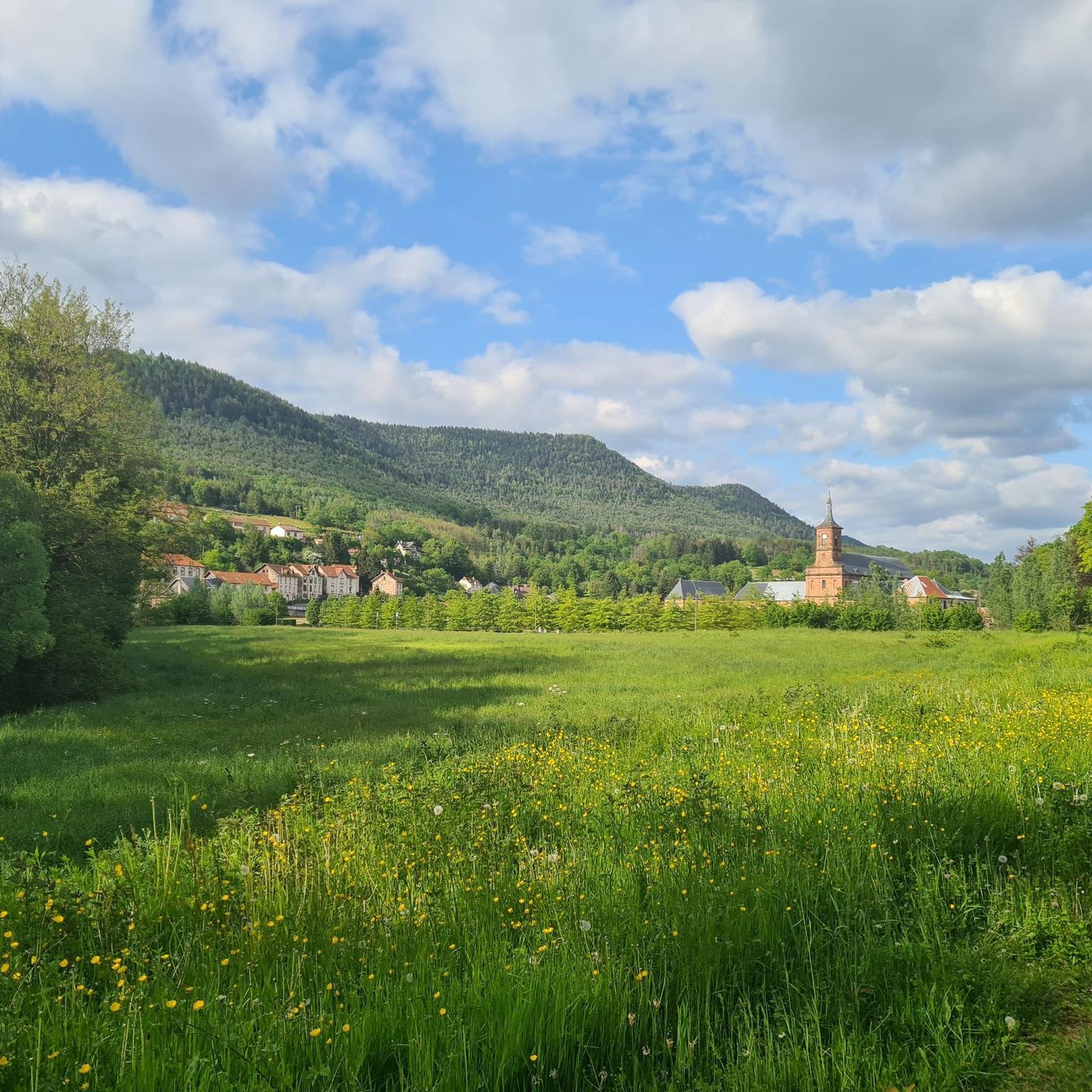
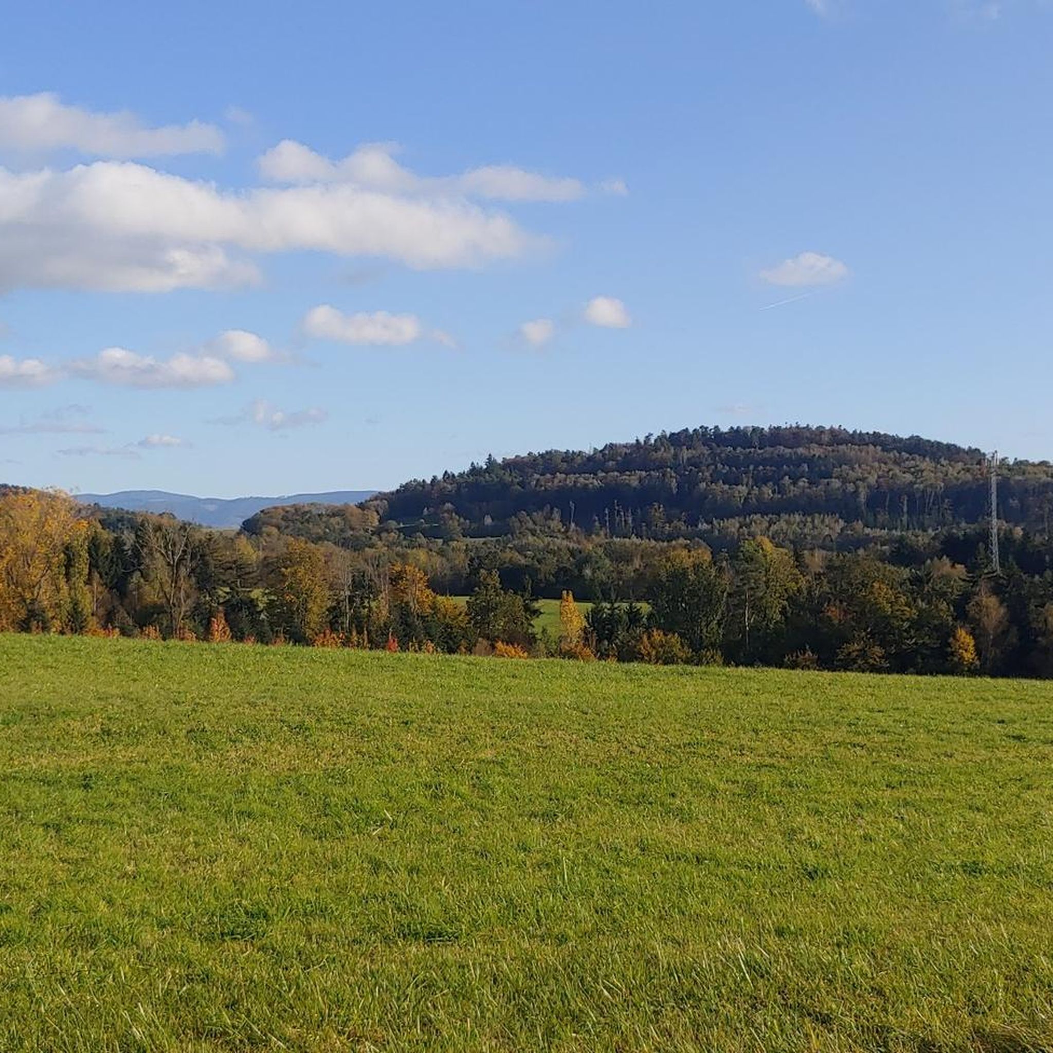
La Pierre d'Appel is located in the Côte de Repy, above Etival Clairefontaine and offers a view of both the Meurthe valley up to St Dié and the Rabodeau valley.
0
0

The Pierre d’Appel is a rock located on the Madeleine massif, above Saint-Dié-des-Vosges. It was once used as a gathering place and signal point, hence its name. This promontory offers a beautiful view over the Meurthe valley while being situated in a typical Vosges forest environment, peaceful and steeped in local traditions.
0
0


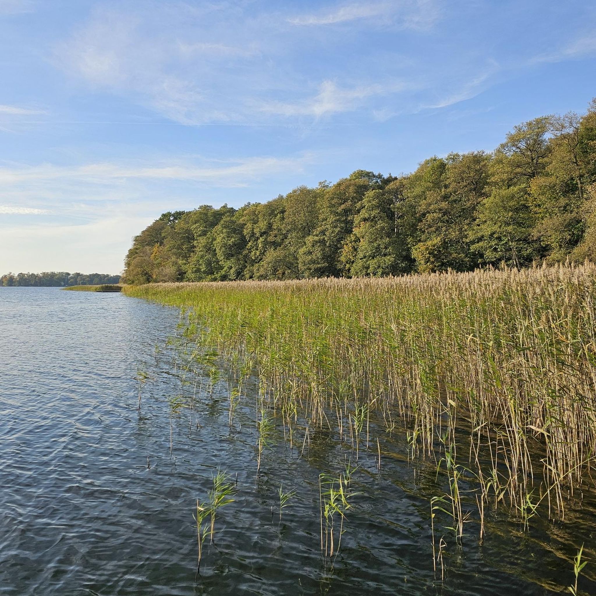
Play and rest area with a pond.
0
0
Large covered seating area protected from the wind. There is even the possibility to light a warming fire 🔥.
0
0
Frequently Asked Questions
What kind of terrain can I expect on hikes around Saint-Remy-de-Provence?
Hikes around Saint-Remy-de-Provence primarily traverse the diverse landscape of the Alpilles Regional Natural Park. You'll encounter low limestone mountains, fragrant garrigue, ancient olive groves, and vineyards. Trails range from rugged, craggy paths in the higher elevations to shaded routes along canals and through agricultural fields. The Mediterranean climate often fills the air with the scent of thyme and rosemary.
Are there easy hiking options suitable for beginners in Saint-Remy-de-Provence?
Yes, Saint-Remy-de-Provence offers a good selection of easy hikes. Out of over 120 routes in the area, about 36 are classified as easy. These often include leisurely strolls through olive groves, vineyards, or along the shaded Canal des Alpilles, providing a gentle introduction to the region's beauty. An example is the Water cave – Sloping rocks loop from Étival-Clairefontaine, which is an easy 4.6 km trail.
What natural features or landmarks can I see while hiking in Saint-Remy-de-Provence?
The Alpilles Regional Natural Park is rich in natural features. You can discover distinctive geological formations like the Rocher des Deux Trous, a rock arch offering spectacular vistas. The serene Lac de Peiroou, formed by a Roman-built dam, is another beautiful spot. For expansive views, hike to the Plateau de la Caume or the summit of Les Opies, the highest point of the Alpilles massif, which provides a sensational 360° panorama. You can also explore natural monuments like Roches de Lanceux or the Malfosse Rock Formations Loop.
Are there any historical sites accessible via hiking trails in the Saint-Remy area?
Yes, the region beautifully integrates history with nature. You can hike to the well-preserved remains of the ancient Roman and Greek city of Glanum, located just outside Saint-Remy, with trails often passing its 2,000-year-old Roman monuments. The Saint-Paul de Mausole Monastery, where Van Gogh resided, is also often incorporated into walks, with a dedicated 'Van Gogh walk' marking areas that inspired him. Additionally, the dramatic hilltop village of Les Baux-de-Provence, with its ruined medieval castle, is a popular destination accessible via several hiking routes. You might also encounter the La Bure Celtic Camp.
Where can I find the best panoramic views in the Saint-Remy-de-Provence area?
For breathtaking panoramic views, consider hiking to the Plateau de la Caume, which offers expansive vistas that can stretch to the Mediterranean and Mont Ventoux on clear days. The summit of Les Opies, the highest point in the Alpilles, provides a sensational 360° panorama of the surrounding plains. Distinctive viewpoints like La Roche Saint-Martin and View of Saint-Dié or Roche en Biche also offer excellent perspectives of the region.
Are there family-friendly hiking trails in Saint-Remy-de-Provence?
Saint-Remy-de-Provence offers various trails suitable for families. Many of the easy routes, particularly those through olive groves or along the canals, are ideal for walks with children. These paths often have gentle elevation changes and provide opportunities to enjoy the natural surroundings without significant challenge. Look for routes classified as 'easy' for the most family-friendly options.
What is the best season to hike in Saint-Remy-de-Provence?
The Mediterranean climate makes Saint-Remy-de-Provence enjoyable for hiking for much of the year. Spring (April-May) and autumn (September-October) are particularly ideal, with pleasant temperatures and vibrant landscapes. Spring brings wildflowers, while autumn offers beautiful colors in the vineyards. Summer can be hot, so early morning or late afternoon hikes are recommended, especially along shaded canal paths. Winter hiking is also possible, with crisp air and fewer crowds, though some higher routes might be cooler.
Are there circular hiking routes available around Saint-Remy-de-Provence?
Yes, many of the hiking trails in Saint-Remy-de-Provence are designed as circular routes, allowing you to start and end at the same point. This is convenient for those traveling by car. An example of a moderate circular route is the Sloping rocks – The Calling Stone loop from Saint-Remy, which covers 7.5 km through woodlands and open areas.
What do other hikers enjoy most about hiking in Saint-Remy-de-Provence?
The hiking routes in Saint-Remy-de-Provence are highly rated by the komoot community, with an average score of 4.6 stars from over 400 reviews. Hikers often praise the diverse landscapes, from rugged limestone cliffs to fragrant garrigue and serene olive groves. The rich historical context, with ancient Roman sites and Van Gogh's inspirations, also adds a unique dimension to the outdoor experience. Many appreciate the well-marked trails and the variety of options for different ability levels.
Are there any challenging hikes for experienced hikers in the Alpilles?
Yes, while there are many easy and moderate options, the Alpilles Regional Natural Park also offers more challenging routes. Out of over 120 trails, about 10 are classified as difficult. These often involve more significant elevation gain and rugged terrain, such as ascents to La Caume or the Tour des Opies, providing a rewarding experience for experienced hikers. An example is the Gipfel – Wanderhütte loop from Nompatelize.
How long do hikes typically take around Saint-Remy-de-Provence?
The duration of hikes around Saint-Remy-de-Provence varies significantly depending on the route's length and difficulty. Shorter, easy trails like the Water cave – Sloping rocks loop from Étival-Clairefontaine (4.6 km) can be completed in about 1 hour 24 minutes. Moderate routes, such as the Sloping rocks – The Calling Stone loop from Étival-Clairefontaine (7.9 km), typically take around 2 hours 16 minutes. Longer, more challenging routes can take half a day or more.
What are some unique rock formations or viewpoints to look out for?
The Alpilles are known for their distinctive limestone formations. Keep an eye out for the Rocher des Deux Trous, a natural rock arch that offers stunning views and is said to have inspired Van Gogh. The The Calling Stone is another notable feature. These formations often provide excellent photo opportunities and serve as natural landmarks along the trails.
Most popular routes around Saint-Remy
Most popular attractions around Saint-Remy

Get inspired with the komoot mobile app


Explore more
Browse the best Hikes in other regions.
