The best walks and hikes around Outriaz
4.4
(345)
2,360
hikers
52
hikes
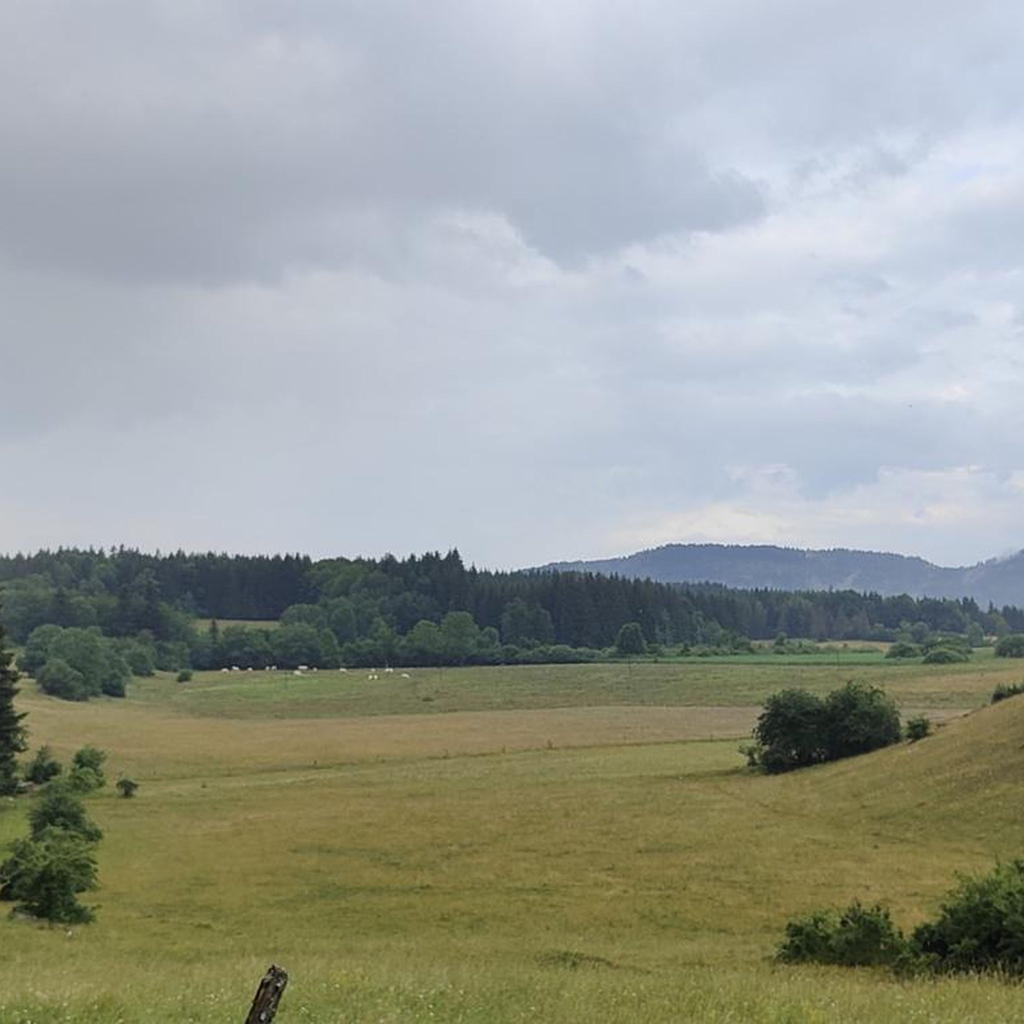
Hiking around Outriaz offers a variety of trails through forested areas and rolling hills. The region is characterized by its natural ponds, elevated viewpoints, and features like the Brénod waterfall. These routes provide opportunities to explore the local landscape, which includes moderate ascents and descents.
Best hiking trails around Outriaz
- The most popular hiking route is Brénod – Brown Ponds loop from Brénod, a 7.5 miles (12.1 km) trail that takes 3 hours 21 minutes to complete. This moderate route explores the area around Brénod and its natural ponds.
- Another top favourite among local hikers is Brénod – Meyriat Heights loop from Brénod, a moderate 5.7 miles (9.2 km) path. This trail offers views from the Meyriat Heights, providing varied terrain.
- Local hikers also love the Meyriat Heights – Sapin Président loop from Brénod, a 5.1 miles (8.2 km) trail leading through forested areas and elevated sections, often completed in about 2 hours 25 minutes.
- Hiking around Outriaz is defined by its forested hills, natural ponds, and scenic viewpoints, with routes available for easy hikes near Outriaz as well as more challenging moderate trails.
- The routes in Outriaz are highly rated by the komoot community with an average score of 4.5 stars from over 300 reviews. More than 2000 hikers have used komoot to explore Outriaz's varied terrain.
Last updated: July 2, 2026
4.5
(8)
76
hikers
4.90km
01:25
130m
130m
Easy hike. Great for any fitness level. Easily-accessible paths. Suitable for all skill levels.
5.0
(1)
13
hikers
12.1km
03:22
220m
220m
Moderate hike. Good fitness required. Easily-accessible paths. Suitable for all skill levels.

Sign up for free
4.0
(1)
7
hikers
9.18km
02:39
200m
200m
Moderate hike. Good fitness required. Easily-accessible paths. Suitable for all skill levels.
5.0
(1)
3
hikers
8.18km
02:26
250m
250m
Moderate hike. Good fitness required. Easily-accessible paths. Suitable for all skill levels.
3
hikers
10.6km
03:10
320m
320m
Moderate hike. Good fitness required. Mostly accessible paths. Sure-footedness required.
Get access to more routes and recommendations from other explorers.
Sign up for free
Already have an account?
Our route recommendations are based on thousands of hikes, rides, and runs completed by other people on komoot.
Start today with a free account
Your next adventure awaits.
Login or Signup


Tips from the Community

Magnificent brown ponds, calm and relaxing, a must-see stop!
0
0


Nice little town with a beautiful church, the town hall is also beautiful.
2
0

Having passed there many times, especially by bike, I did not know the history of the brown ponds. Thank you for these explanations !
1
0

Brénod is located 850 meters above sea level, in the upper Bugey, south of the Jura massif. The town has a historical heritage, as well as a unique and completely preserved natural setting for peaceful, outdoor holidays.
1
0
The Marron ponds have been labeled “Sensitive Natural Spaces” since 2015. They take their name from a family from Brénod. They were created around 1120 and once served as a water and fishing reserve for the monks of Meyriat Abbey.
1
0
Frequently Asked Questions
How many hiking trails are available around Outriaz?
There are over 50 hiking routes available around Outriaz, catering to various skill levels. You'll find a good mix of moderate trails, with a selection of easier options and a few more challenging routes.
What do other hikers say about the trails in Outriaz?
The hiking trails around Outriaz are highly rated by the komoot community, with an average score of 4.5 stars from over 300 reviews. Hikers often praise the varied terrain, the natural ponds, and the scenic viewpoints.
Are there easy hiking trails suitable for beginners in Outriaz?
Yes, Outriaz offers several easy hiking trails perfect for beginners. There are 13 easy routes available, providing gentle walks through the region's natural beauty. These trails are generally shorter and have less elevation gain.
Are there any circular hiking routes around Outriaz?
Many of the trails around Outriaz are circular routes, allowing you to start and end in the same location. For example, the Brénod – Brown Ponds loop from Brénod is a popular moderate option, and the Brénod waterfall loop from Brénod also offers a scenic circular walk.
Can I find hikes with waterfalls near Outriaz?
Yes, the region around Outriaz features the Brénod waterfall. You can explore this natural highlight on the Brénod waterfall loop from Brénod, a moderate 9.8 km trail.
Are there scenic viewpoints along the trails in Outriaz?
Outriaz is known for its elevated viewpoints. The Brénod – Meyriat Heights loop from Brénod is a great option to experience views from the Meyriat Heights, offering varied terrain and picturesque vistas.
What kind of landscape can I expect on hikes around Outriaz?
Hiking around Outriaz takes you through diverse landscapes characterized by forested areas, rolling hills, and natural ponds. You'll encounter moderate ascents and descents, with opportunities to enjoy scenic viewpoints and tranquil woodlands.
Are the hiking trails in Outriaz family-friendly?
Many of the easier and moderate trails in Outriaz are suitable for families. Look for routes with shorter distances and less elevation gain, often found among the 13 easy routes available, to ensure an enjoyable experience for all ages.
Are dogs allowed on the hiking trails in Outriaz?
Generally, dogs are welcome on hiking trails in Outriaz, provided they are kept under control, especially in areas with wildlife or livestock. Always check local signage for specific regulations, particularly in nature reserves or protected areas.
What are the typical lengths and durations of hikes in Outriaz?
Hikes in Outriaz vary in length and duration. Moderate trails often range from 8 to 12 kilometers (5 to 7.5 miles) and can take between 2.5 to 4 hours to complete. For example, the Meyriat Heights – Sapin Président loop from Brénod is 8.2 km and typically takes about 2 hours 25 minutes.
Are there any interesting landmarks or attractions near the hiking trails?
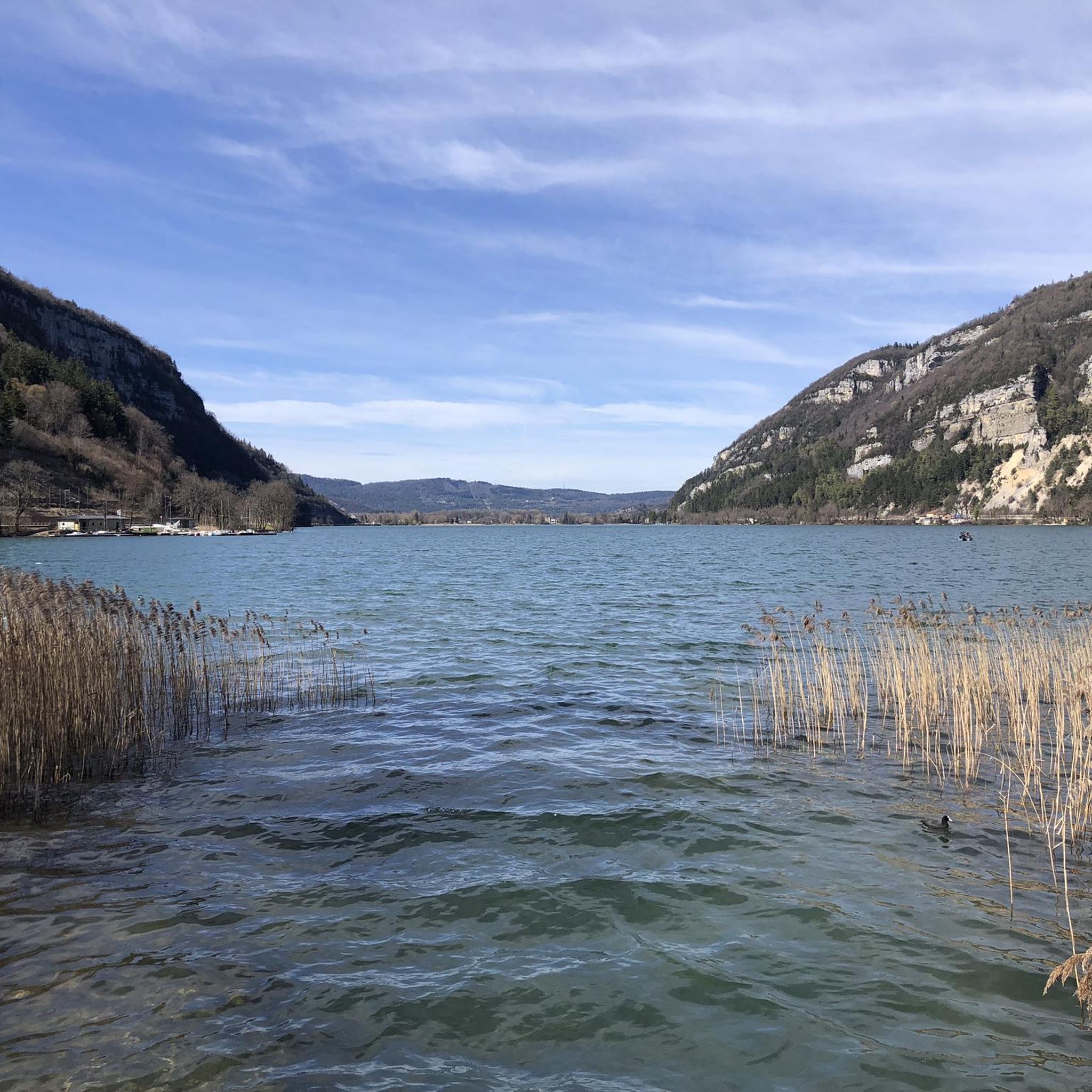
Yes, there are several interesting attractions nearby. You could visit Lake Nantua, explore the Cerdon Caves, or discover various mountain passes like the Rochette Pass or Belleroche Pass.
Where can I find parking for hiking trails in Outriaz?
Parking is generally available in or near the starting points of many trails, especially in villages like Brénod. It's advisable to check specific route descriptions or local maps for designated parking areas before you set out.
Most popular attractions around Outriaz

Get inspired with the komoot mobile app


Explore more
Browse the best Hikes in other regions.
